ルート

プランナー

機能

アップデート

App

ログインまたはサインアップ

アプリを入手

ログインまたはサインアップ

ルート
ハイキング
ドイツ
ノルトラインヴェストファーレン州
ライン・エアフト・クライス

ベートブルク

ベートブルクのおすすめウォーキング&ハイキングルート

4.5

(11762)

40,035

ハイカー

207

ハイキング

ベートブルク 周辺でおすすめのハイキングやウォーキングを楽しんでいただけるように、このエリアの小径やルートを集めたkomootコレクション全体を見直しました。 以下で各ルートの詳細をご覧になり、ベートブルク周辺の大自然を満喫する際の参考にしてください。

最終更新日: 7月 2, 2026

4.6

(424)

1,357

ハイカー

#1.

Bedburg (Erft)から出発する カステラー湖 – アガタ門(アルト=カスター) ループコース

13.7km

03:32

70m

70m

中程度のハイキング. ある程度のフィットネスレベルが必要です。 進みやすいルートです。あらゆるスキルレベルに適しています。

デバイスでナビ

スマートフォンに送信

保存

中程度

中程度のハイキング. ある程度のフィットネスレベルが必要です。 進みやすいルートです。あらゆるスキルレベルに適しています。

中程度
guide_signup
私たちがkomootモバイルアプリで道を示します
無料の komoot アカウントがあれば、無限のアウトドアコースを簡単に見つけてカスタマイズし、ナビで案内できます。

無料新規登録

初級者向けハイキング. あらゆるフィットネスレベルに適しています。 進みやすいルートです。あらゆるスキルレベルに適しています。

初級

初級者向けハイキング. あらゆるフィットネスレベルに適しています。 進みやすいルートです。あらゆるスキルレベルに適しています。

初級

中程度のハイキング. ある程度のフィットネスレベルが必要です。 進みやすいルートです。あらゆるスキルレベルに適しています。

中程度
無料新規登録すると、ベートブルクでのでのハイキングをさらに203件ご覧いただけます。

さらに多くのルートや他のユーザーのおすすめ情報を確認できます。

無料新規登録

すでにアカウントをお持ちですか?

おすすめのツアーは他のkomootユーザーが実際に経験した何千ものアクティビティに基づいています。

無料アカウントで今日から始めよう

次の冒険が待っています。

ログインまたは登録

ベートブルク周辺で人気

ドイツの城の国を走破 — ライン川からアイフェルまで往復
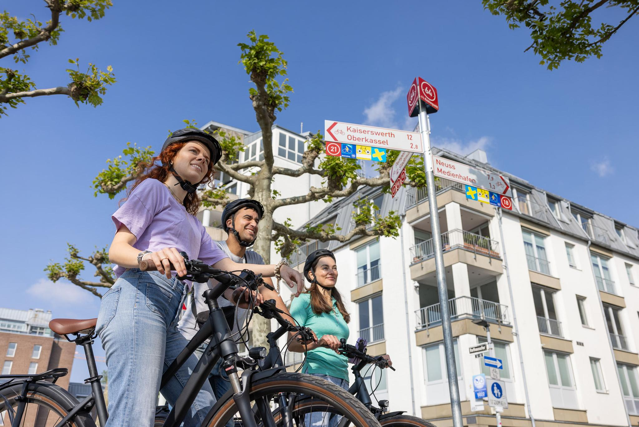
Cycling by Numbers – flexible rides in the Radregion Rheinland
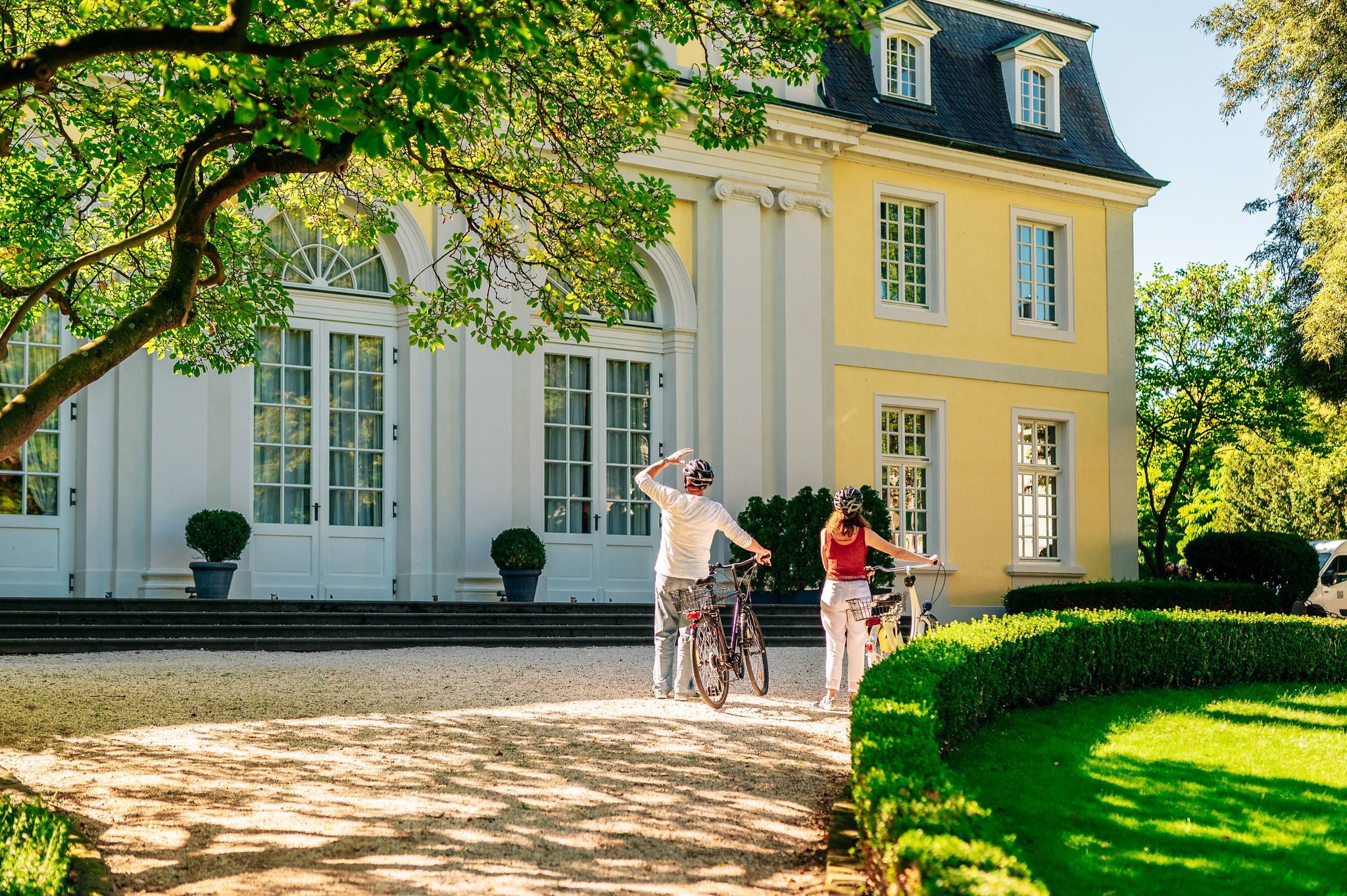
History in the Rhineland – cycling in the Rhineland cycling region
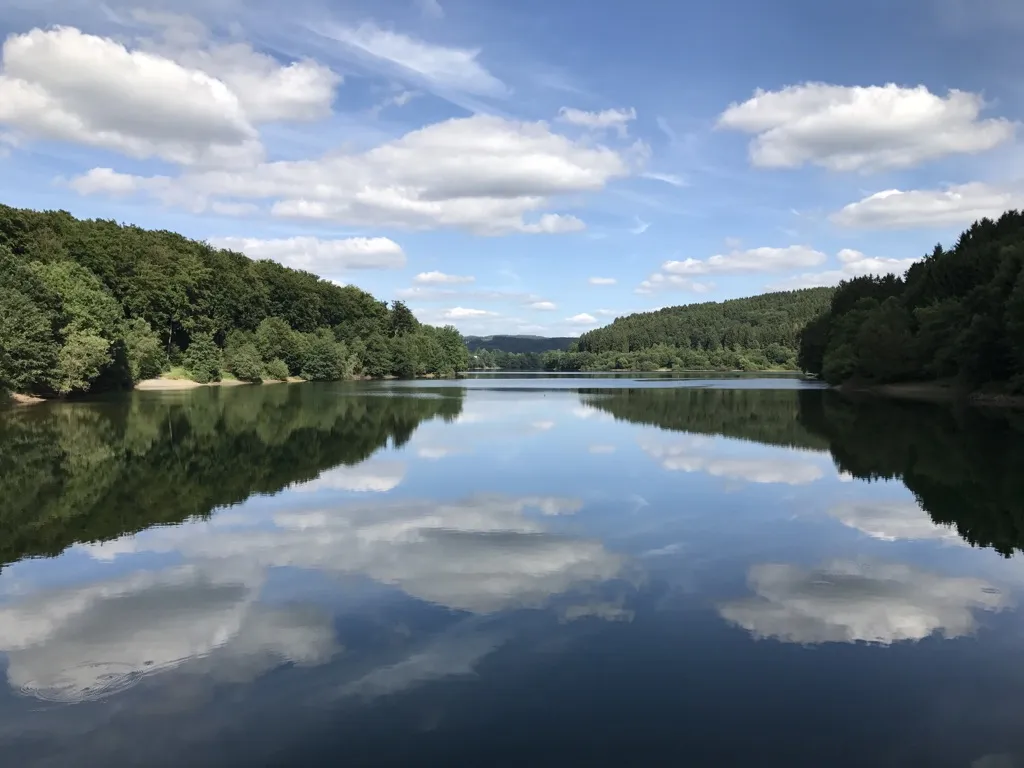
Auszeiten im Grünen – Entspannte Wanderungen im Rheinland
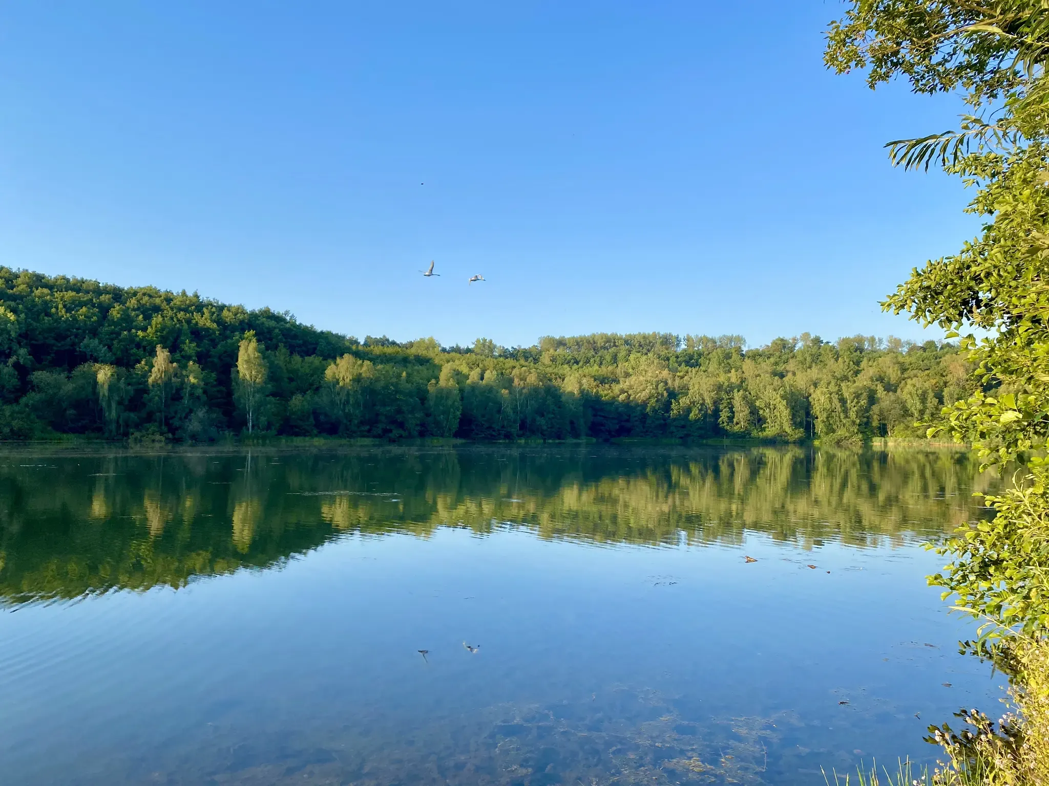
Mit Rosbacher auf Tour im Rheinland
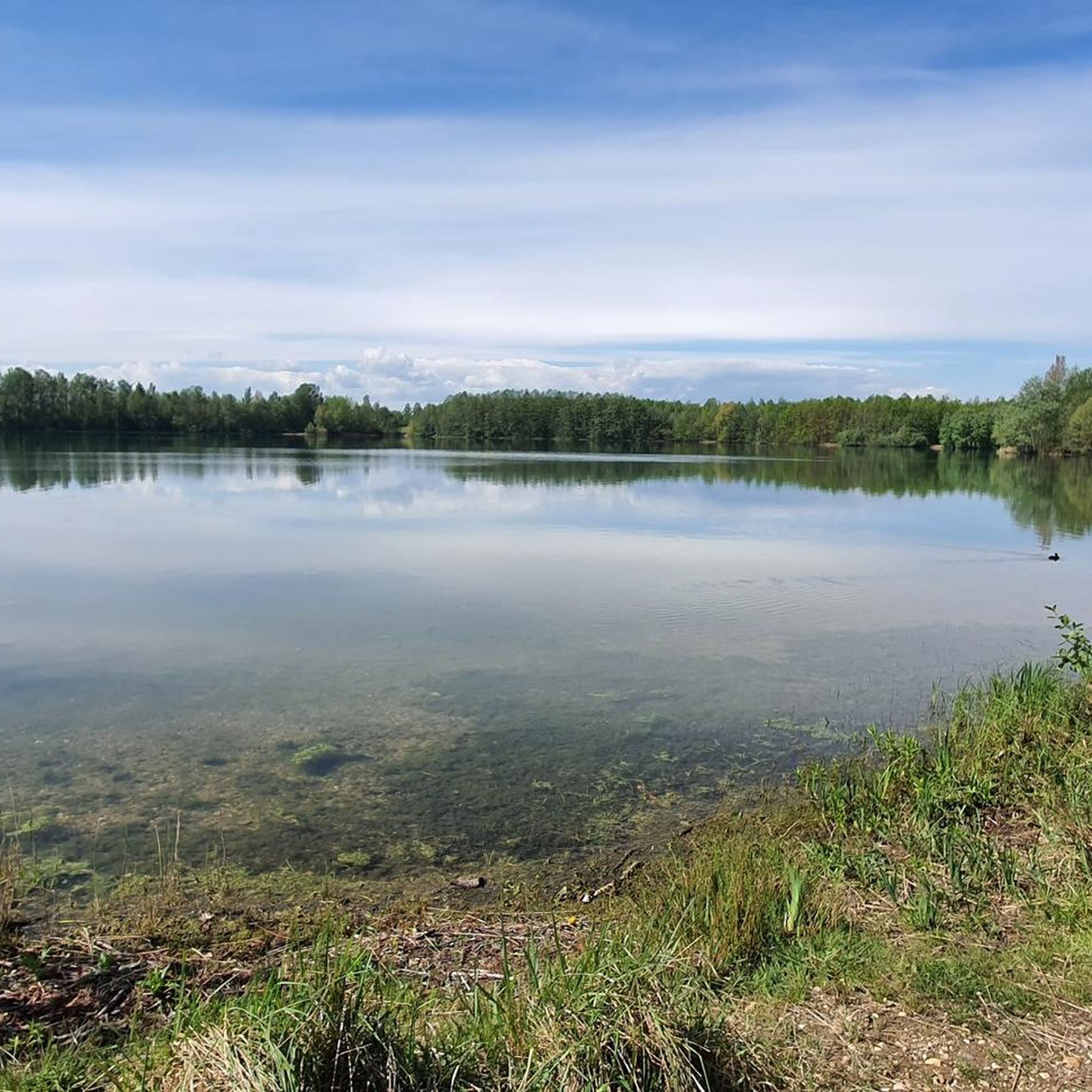
ベートブルクでのサイクリング
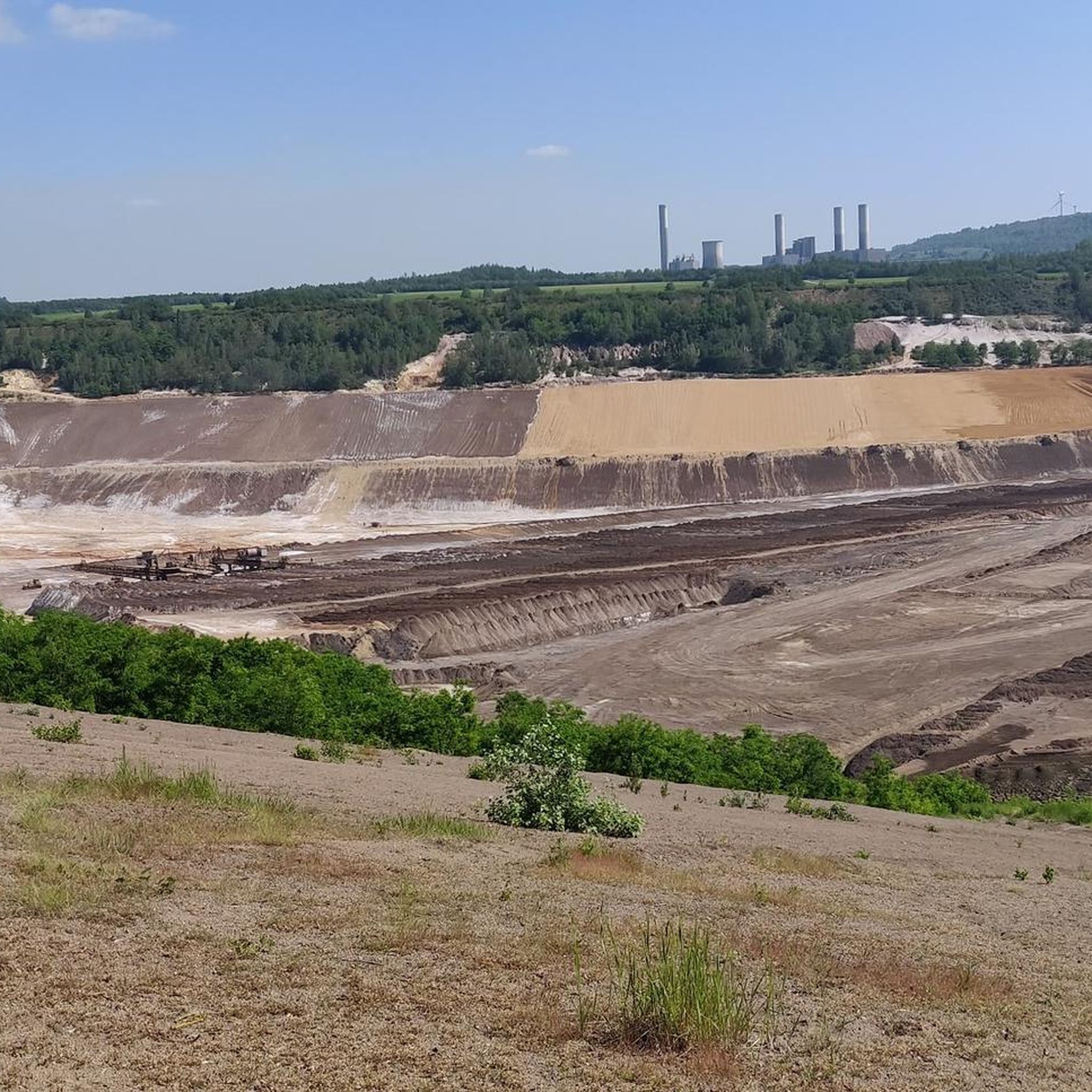
ベートブルクのランニングコース
ベートブルクのロードバイクルート
ベートブルクのMTBトレイル

ベートブルクでののグラベルライド

ベートブルクでのの他の冒険

ドイツの城の国を走破 — ライン川からアイフェルまで往復

サイクリングのコレクション によって

Wasserburgen-Route

コミュニティからのヒント

Friedrich
2月 5, 2025, Kasterer See

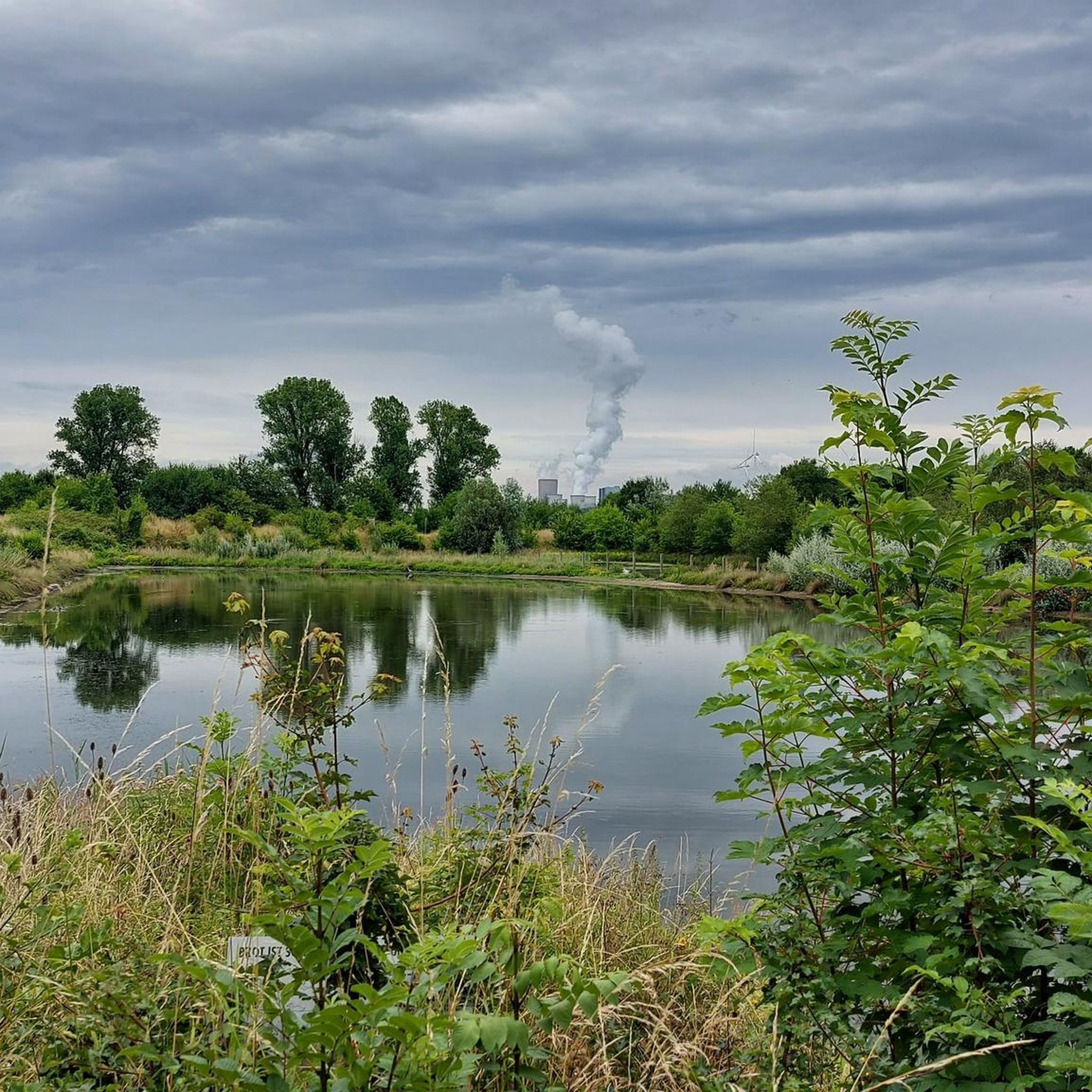
A walk around Lake Kaster is always appropriate!

Google翻訳による翻訳

0

0

Very nice views of the lake and some benches to sit and enjoy.

Google翻訳による翻訳

0

0

The werewolf hiking trail is worthwhile for young and old. The 10-kilometer trail between Alt-Kaster and Bedburg tells the story of the werewolf "Stubbe," who is said to have wreaked havoc here in the 16th century. And if you solve the riddle correctly at the end of the trail, a "treasure" awaits you...

Google翻訳による翻訳

2

0

... certainly one of the most beautiful views today from the edge of Lake Kaster. It is easy to walk around it in a short hike and has many access points directly to the water ...

Google翻訳による翻訳

1

0

"The Kasterer See was created in 1984 as part of the recultivation of the former Frimmersdorf opencast mine. The lake is 1 km long, 125 m wide and 5.2 m deep. It is fed by the Mühlenerft, an oxbow river of the Erft, and not by groundwater. The lake was created at the bottom of the Kasterer Höhe in the so-called new Erftaue. It is surrounded by a forest of around eight hectares, which was created as part of the recultivation. It consists mainly of elm trees. The lake and the surrounding forest have been part of the “Erft between Bedburg and Bergheim” nature reserve since 2009. The southwest bank of the lake serves as a local recreation area. The east bank is largely inaccessible and left to nature. There you will find extensive wetland habitats and numerous nesting places for waterfowl. The lake also serves as fishing water." (Peter Burggraaff, on behalf of the LVR Office for Monument Preservation in the Rhineland, 2022) https://www.kuladig.de/Objectansicht/KLD-344360

Google翻訳による翻訳

0

0

"The Mühlenerft feeds and washes the Kasterer See, which was created in the area of the former Frimmersdorf opencast mine and was completed in 1984. The lake is located in a forest island in which the endangered elm has been replanted in large numbers as a particularly typical species of hardwood floodplain forests. ." https://www.bedburg.de/Seiten/Kasterer-See-Naherholung-vor-der-Haustuer.html?

Google翻訳による翻訳

1

0

Oliver🌍
1月 17, 2024, Kasterer See

As part of brown coal mining, the one kilometer long, 125 meter wide and 5.20 meter deep Kasterer Lake was created in the area of the former Frimmersdorf opencast mine and completed in 1984. It is fed and washed by the Mühlenerft and is embedded in the Kasterer Höhe, a landscaped forest area of around eight hectares. Numerous elm trees, which are considered an endangered tree species, have been planted in the forest island in which the body of water is located. The lake and the forest areas surrounding it were created through extensive recultivation measures.

Google翻訳による翻訳

6

0

The Kasterer Mühlenerft is an old branch of the regulated Erft. The Kasterer Mühle is a former water mill in the Kaster district. The first references to a mill in Kaster come from the year 1250, namely the name Conrad, a miller from Kaster. The mill is probably one of the oldest buildings in Kaster, apart from the castle. In 1961 the mill was shut down. In 1966, the last owner, Adam Offergeld, sold the facility to Rheinbraun, who had the listed building demolished. The mill house was preserved and was converted into a residential complex in 1980 as part of a renovation and restoration.

Google翻訳による翻訳

6

0

ベートブルクでのの人気ルート

ベートブルクのファミリーハイキング

ベートブルクでのの人気観光スポット

Places to see

Store rating

komootモバイルアプリでインスピレーションを得よう

無料のkomootアカウントがあれば、無限のアウトドアコースを簡単に見つけてカスタマイズし、ナビで案内できます。

または

今すぐkomootに参加しよう

Store rating

さらに探索

他の地域の最高のハイキングを見てみましょう。

エアフトシュタットリブラーラー湖ハイダーベルク湖ケルペンプルハイムヒュルトNaturschutzgebiet ParrigベルクハイムフレッヒェンKerpener Bruchボアドルファー湖プルハイム湖ヒュルターヴァルトゼーNsg Königsdorfer ForstOtto-Maigler-参照ヴェッセリングペリングスマアーBürgewald Dickbusch Und Lörsfelder Buschブライプトロイ湖

近くのアドベンチャーガイド

ヌーラザー湖でやるべきこと

background

新しいピークを征服する準備をしよう

無料でサインアップ

探検する
ルートルートプランナー機能ハイキングMTBトレイルロードバイクルートバイクパッキングサイトマップ
アプリをダウンロード
SNSでフォローする

© komoot GmbH

プライバシーポリシー