ヴェナンソンのおすすめランニングルート
4.1
(13)
1,613
ランナー
92
ランニング
ヴェナンソンでランニングを楽しめば、このエリアをより深く知ることができます。ランニングに適した美しいルートが見つかるように、komootがヴェナンソンでのルートのコレクション全体を評価して選び抜いた、人気ランニングトレイルをご紹介します。ルートをクリックして詳細を表示し、他のユーザーがアップロードした役立つ情報や写真を閲覧しましょう。
最終更新日: 8月 22, 2026
3.0
(2)
381
ランナー
29.4km
05:14
2,000m
2,000m
難しいジョギング. 標準以上のフィットネスレベルが必要です。 安定して歩行できる技術、丈夫な靴、高標高地での登山経験が必要です。
4.0
(2)
122
ランナー
10.8km
01:44
590m
590m
難しいジョギング. 標準以上のフィットネスレベルが必要です。 安定して歩行できる技術、丈夫な靴、高標高地での登山経験が必要です。

無料新規登録
5.0
(1)
18
ランナー
30.8km
05:53
2,390m
2,380m
難しいジョギング. 標準以上のフィットネスレベルが必要です。 安定して歩行できる技術、丈夫な靴、高標高地での登山経験が必要です。
5.0
(1)
10
ランナー
4.98km
00:48
310m
310m
難しいジョギング. 標準以上のフィットネスレベルが必要です。 全般的に舗装された状態です。あらゆるスキルレベルに適しています。
12
ランナー
14.3km
02:51
1,330m
1,330m
難しいジョギング. 標準以上のフィットネスレベルが必要です。 全般的に舗装された状態です。あらゆるスキルレベルに適しています。
さらに多くのルートや他のユーザーのおすすめ情報を確認できます。
無料新規登録
すでにアカウントをお持ちですか?
おすすめのツアーは他のkomootユーザーが実際に経験した何千ものアクティビティに基づいています。
無料アカウントで今日から始めよう
次の冒険が待っています。
ログインまたは登録

コミュニティからのヒント

The Col Saint-Martin Pass, or Col de la Colmiane, is a mountain pass in the Southern Alps located at an altitude of 1,500 meters in the Alpes-Maritimes department of France. It provides a year-round road link between the Tinée Valley to the west and the Vésubie Valley to the east.
0
0
The Col Saint-Martin Pass, or Col de la Colmiane, is a mountain pass in the Southern Alps located at an altitude of 1,500 meters in the Alpes-Maritimes department of France. It provides a year-round road link between the Tinée Valley to the west and the Vésubie Valley to the east.
0
0
Col Saint Martin (el. 1500 m.) is a high mountain pass in the Alps in the department of Alpes-Maritimes in France.[1] It is traversed by the D-2205 highway.[2] The place has been crossed at the Tour de France road cycling race in 1973, 1975 and 2020, as well as at multiple editions of the Paris-Nice.
0
0

In July during the week there was almost no traffic, making it a completely relaxed drive up.
0
0
Currently (as of July 2025), there's a lot of excavation and construction going on here. For cycling emergencies, there's a local sports shop that carries all kinds of cycling supplies and was able to quickly help us with our bike repairs: https://sport-addict06.fr/
2
0


Valdeblore La Colmiane is a resort that offers families many activities: summer tobogganing, tree climbing, mini-golf, swimming pool, equestrian center, paragliding, trampoline, farm visit, hiking with pack donkeys, climbing, and Via Ferrata as well as 30 kilometers of ski slopes in winter. In winter as in summer, the resort offers a giant zip line (the longest in France) which flies safely over the resort and its lakes, at 130 km/h (maximum).
0
0

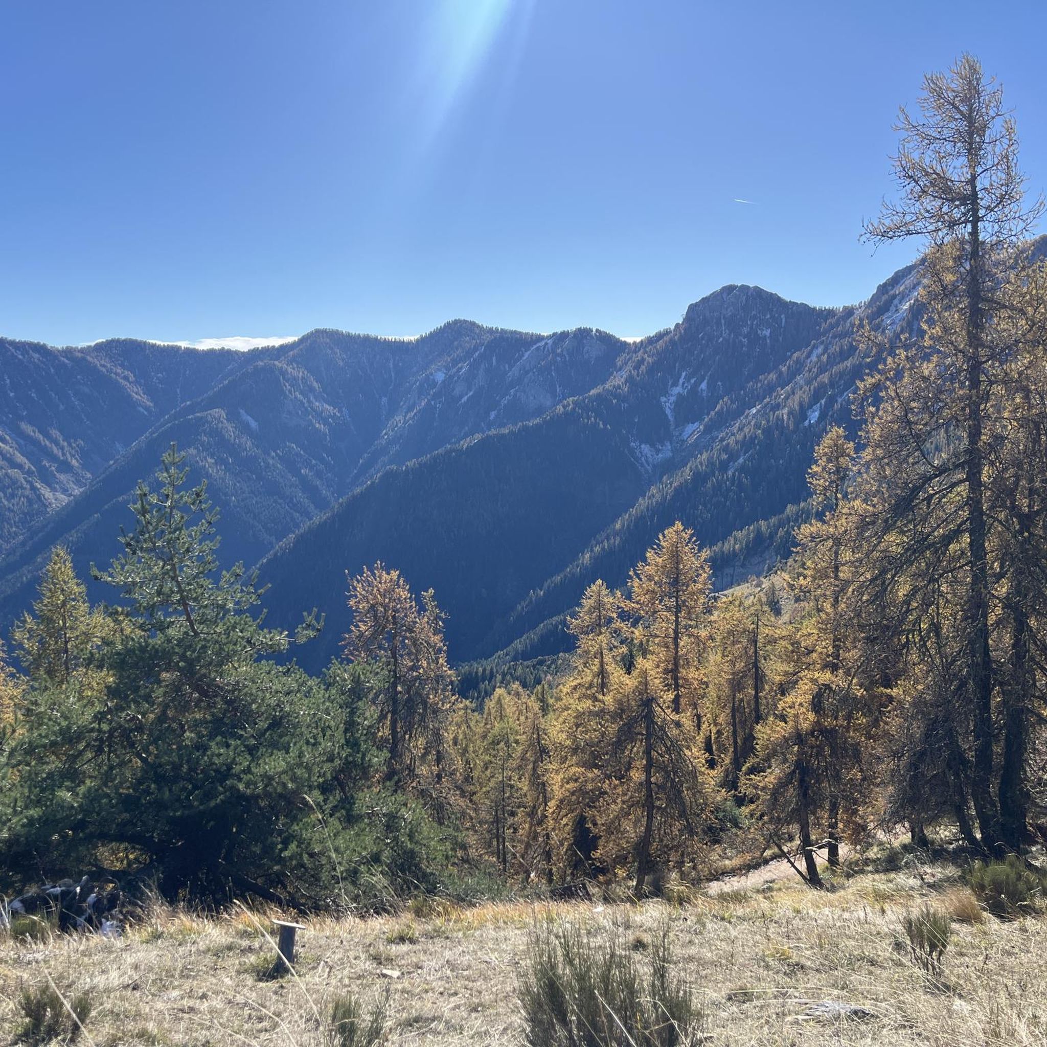
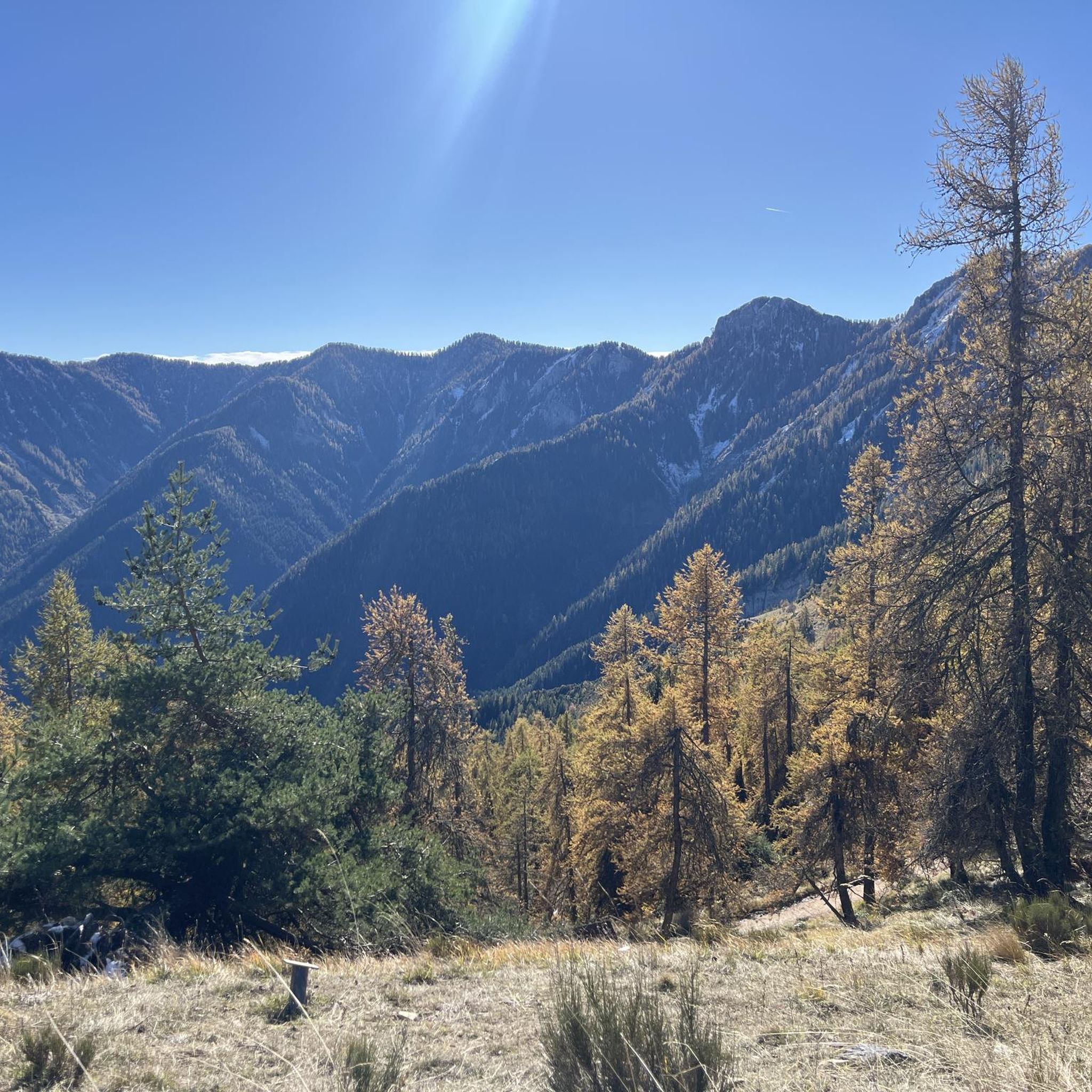
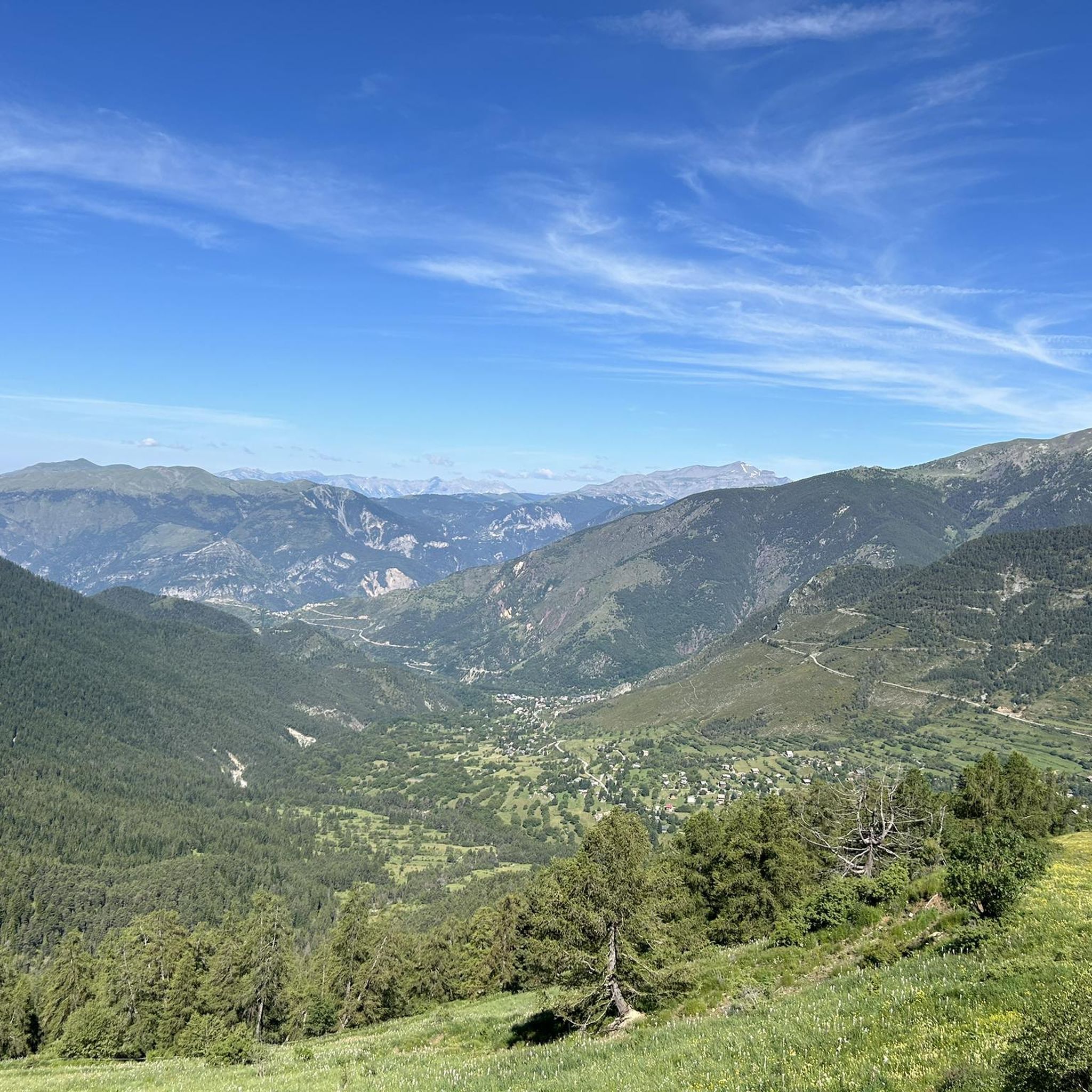
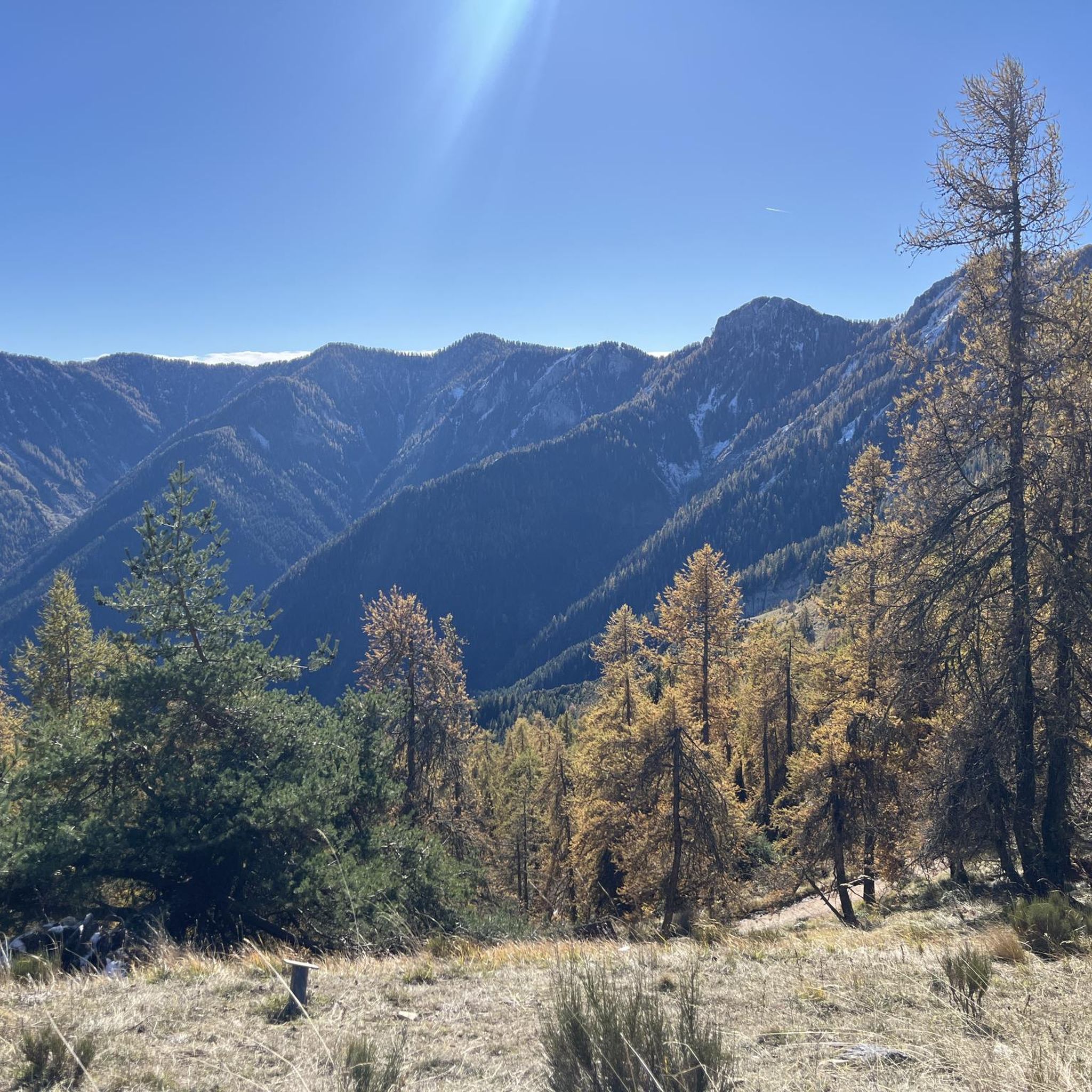
The Col Saint Martin is an alpine pass which connects the Vésubie valley to the Tinée valley. It peaks at 1,500 meters above sea level. Enjoy the spectacular panorama, with views of the mountains of the Mercantour national park and the Tinée and Vésubie valleys.
0
0
ヴェナンソンでのの人気観光スポット

komootモバイルアプリでインスピレーションを得よう


さらに探索
他の地域の最高のランニングトレイル & ルートを見てみましょう。
