ギョームのおすすめランニングルート
4.8
(10)
891
ランナー
72
ランニング
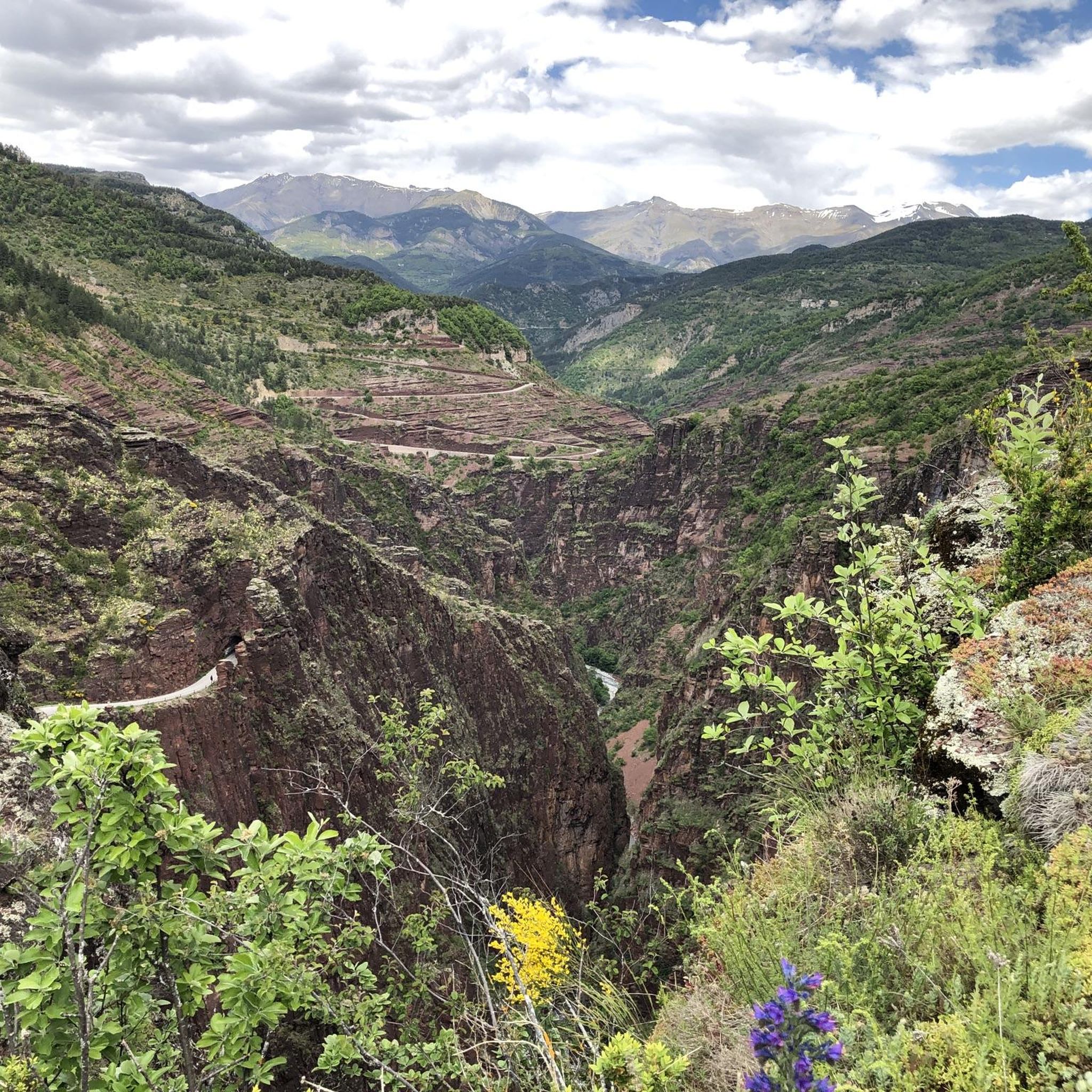
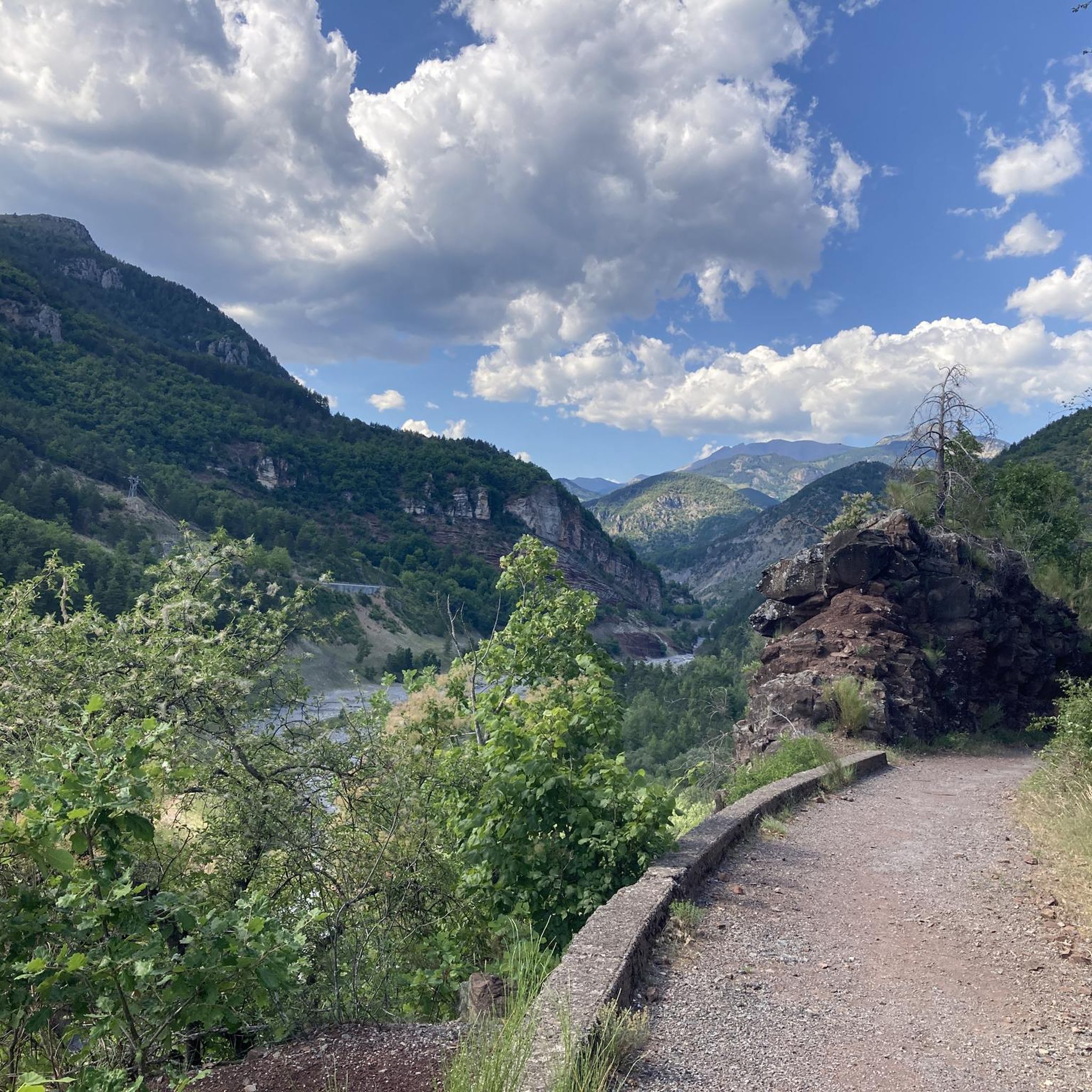
ギョームでランニングを楽しめば、このエリアをより深く知ることができます。ランニングに適した美しいルートが見つかるように、komootがギョームでのルートのコレクション全体を評価して選び抜いた、人気ランニングトレイルをご紹介します。ルートをクリックして詳細を表示し、他のユーザーがアップロードした役立つ情報や写真を閲覧しましょう。
最終更新日: 10月 12, 2026
55
ランナー
9.52km
01:17
260m
260m
難しいジョギング. ある程度のフィットネスレベルが必要です。 安定して歩行できる技術、丈夫な靴、高標高地での登山経験が必要です。
40
ランナー
10.3km
01:22
320m
320m
難しいジョギング. 標準以上のフィットネスレベルが必要です。 全般的に舗装された状態です。あらゆるスキルレベルに適しています。

32
ランナー
39.4km
05:43
1,730m
1,730m
難しいジョギング. 標準以上のフィットネスレベルが必要です。 全般的に舗装された状態です。あらゆるスキルレベルに適しています。
5.0
(1)
23
ランナー
7.79km
01:01
260m
260m
中程度のジョギング. ある程度のフィットネスレベルが必要です。 全般的に舗装された状態です。あらゆるスキルレベルに適しています。
5.0
(1)
20
ランナー
12.0km
01:38
440m
440m
難しいジョギング. 標準以上のフィットネスレベルが必要です。 全般的に舗装された状態です。あらゆるスキルレベルに適しています。
さらに多くのルートや他のユーザーのおすすめ情報を確認できます。
すでにアカウントをお持ちですか?
おすすめのツアーは他のkomootユーザーが実際に経験した何千ものアクティビティに基づいています。
無料アカウントで今日から始めよう
次の冒険が待っています。
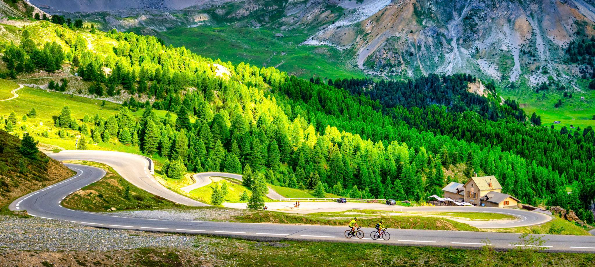
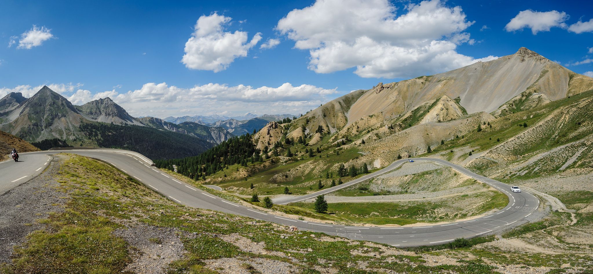
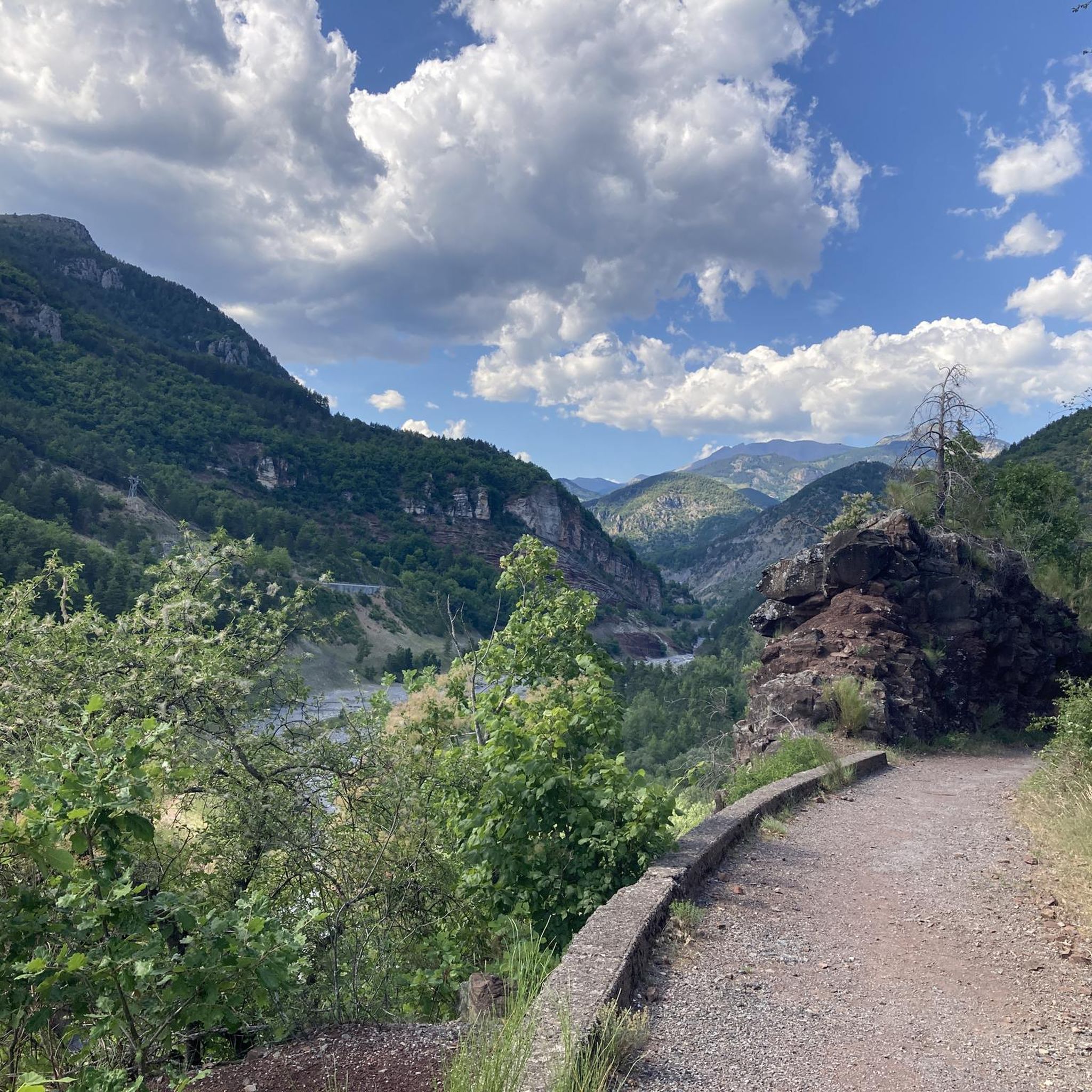
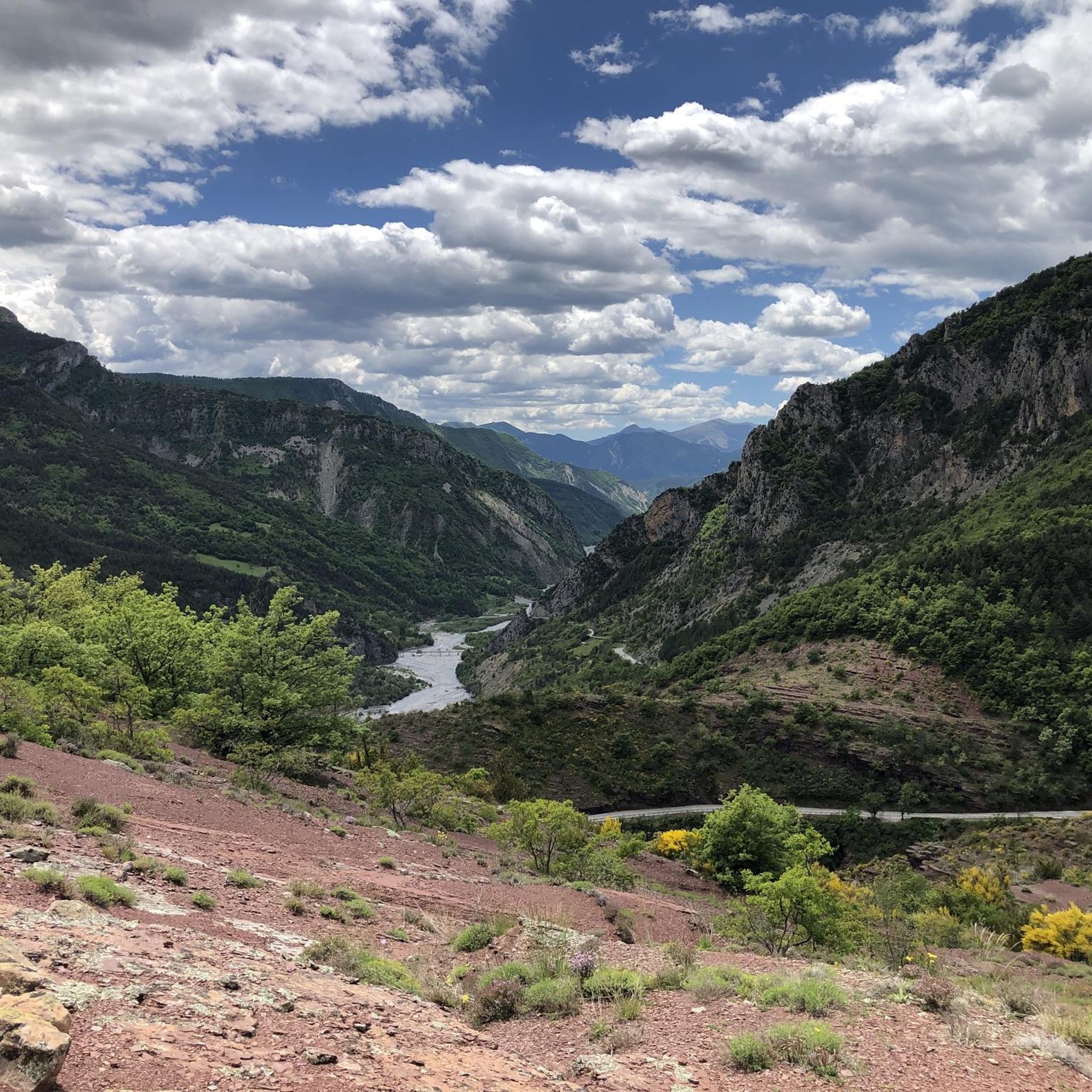



コミュニティからのヒント

The Col de Sainte-Anne is a pass at an altitude of 425 meters in the French department of Bouches-du-Rhône.
0
1
The Col de la Couillole is a mountain pass in the Massif du Mercantour-Argentera of the French Alps, situated at an altitude of 1,678 m (5,505 ft) in the Alpes-Maritimes department, France. The road connection is open for six to seven months of the year, allowing travel between the Cians gorges in the west and the Tinée valley in the east.
0
0


The Col de la Couillole from Saint Sauveur sur tinee is 16km long with 1168m of elevation gain. The average gradient of the climb is 7.3% with maximum gradients of 9.3%.
3
0
The Col de Sainte-Anne is 3.9 km long with an elevation gain of 228 m and an average gradient of 5.8%.
2
0

Small village where you cross the Colle della Couyolle and Valberg
0
0

The Valberg station straddles the communes of Guillaumes, Péone and Beuil. Many larches surround this resort giving it a special charm.
0
0

komootモバイルアプリでインスピレーションを得よう


さらに探索
他の地域の最高のランニングトレイル & ルートを見てみましょう。
