バルトロメベルクのおすすめライド
4.4
(221)
5,124
ライダー
51
ライド
バルトロメベルク周辺でのロードバイクライドをお考えですか?komootはバルトロメベルク周辺のあらゆるロードバイクライドを評価し、人気ルートを厳選しました。バルトロメベルク周辺の各ロードバイクルートの詳細をご覧になり、自分に合ったルートを見つけてください。
最終更新日: 10月 12, 2026
4.9
(37)
437
ライダー
72.2km
04:03
1,550m
1,550m
難しいロードライド. 標準以上のフィットネスレベルが必要です。 ツアーの一部で自転車を押して歩く必要があるかもしれません。
4.6
(11)
271
ライダー
120km
06:46
2,610m
2,610m
難しいロードライド. 標準以上のフィットネスレベルが必要です。 全般的に舗装状態が良好で走行しやすい道です。

4.8
(17)
251
ライダー
31.6km
01:46
640m
630m
中程度のロードライド. ある程度のフィットネスレベルが必要です。 全般的に舗装状態が良好で走行しやすい道です。
5.0
(1)
152
ライダー
115km
04:45
700m
700m
中程度のロードライド. ある程度のフィットネスレベルが必要です。 ツアーの一部に、未舗装のため走行が難しい箇所があるかもしれません。
4.8
(6)
161
ライダー
84.3km
04:22
1,510m
1,510m
難しいロードライド. 標準以上のフィットネスレベルが必要です。 全般的に舗装状態が良好で走行しやすい道です。
さらに多くのルートや他のユーザーのおすすめ情報を確認できます。
すでにアカウントをお持ちですか?
おすすめのツアーは他のkomootユーザーが実際に経験した何千ものアクティビティに基づいています。
無料アカウントで今日から始めよう
次の冒険が待っています。
バルトロメベルク周辺で人気
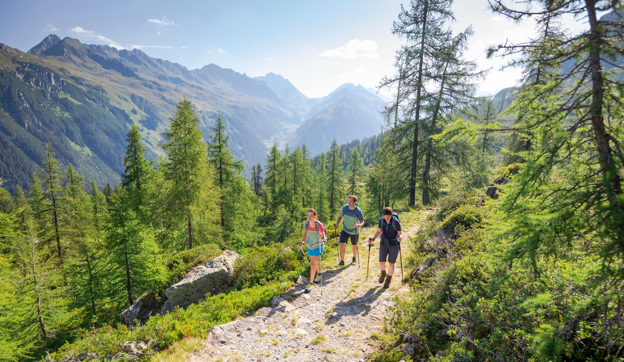
Between Maisäß and Alpe – hiking in Montafon
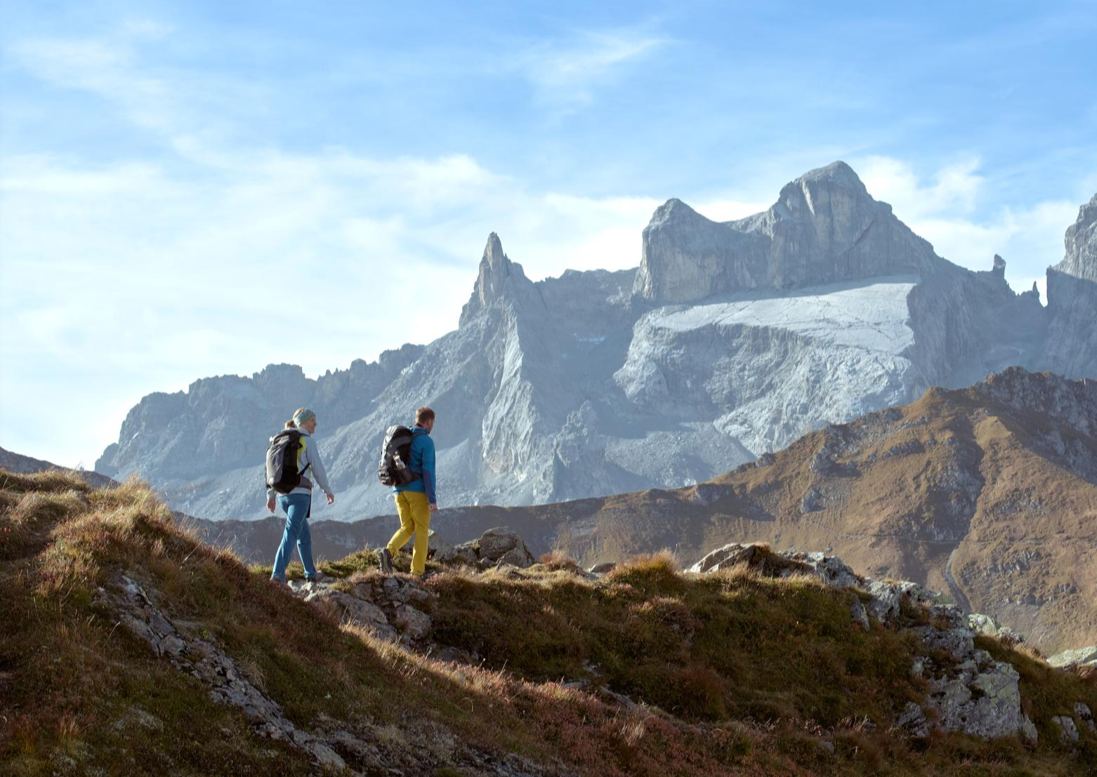
Alpenmosaik Montafon – the most beautiful autumn hikes
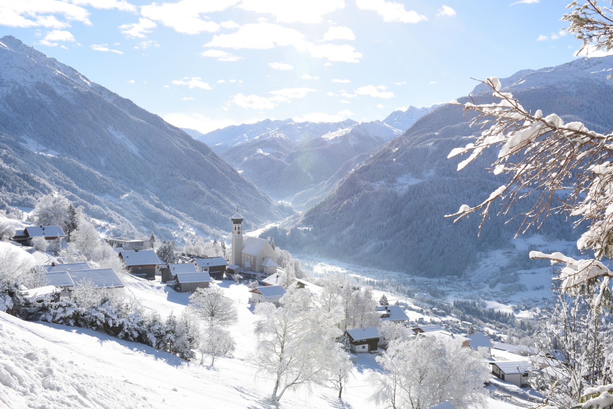
Tobogganing, ice bathing and hiking – winter away from the slopes
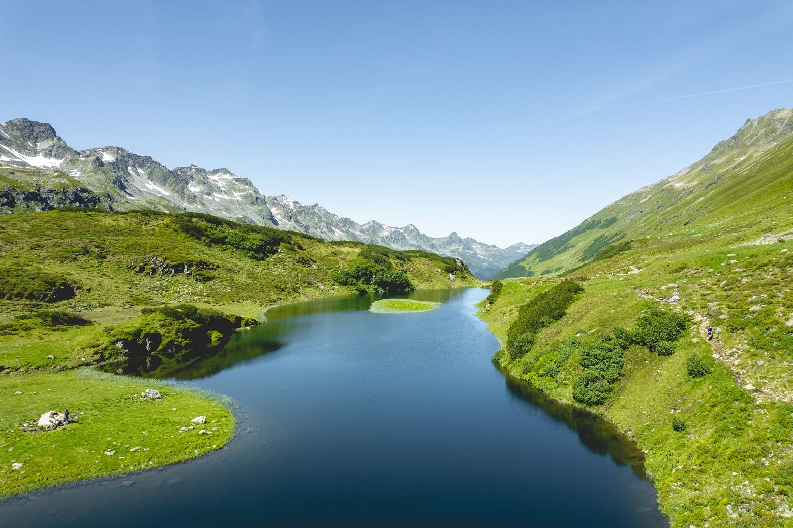
Alpine Mosaic in Montafon — Austria’s Verwall adventure area
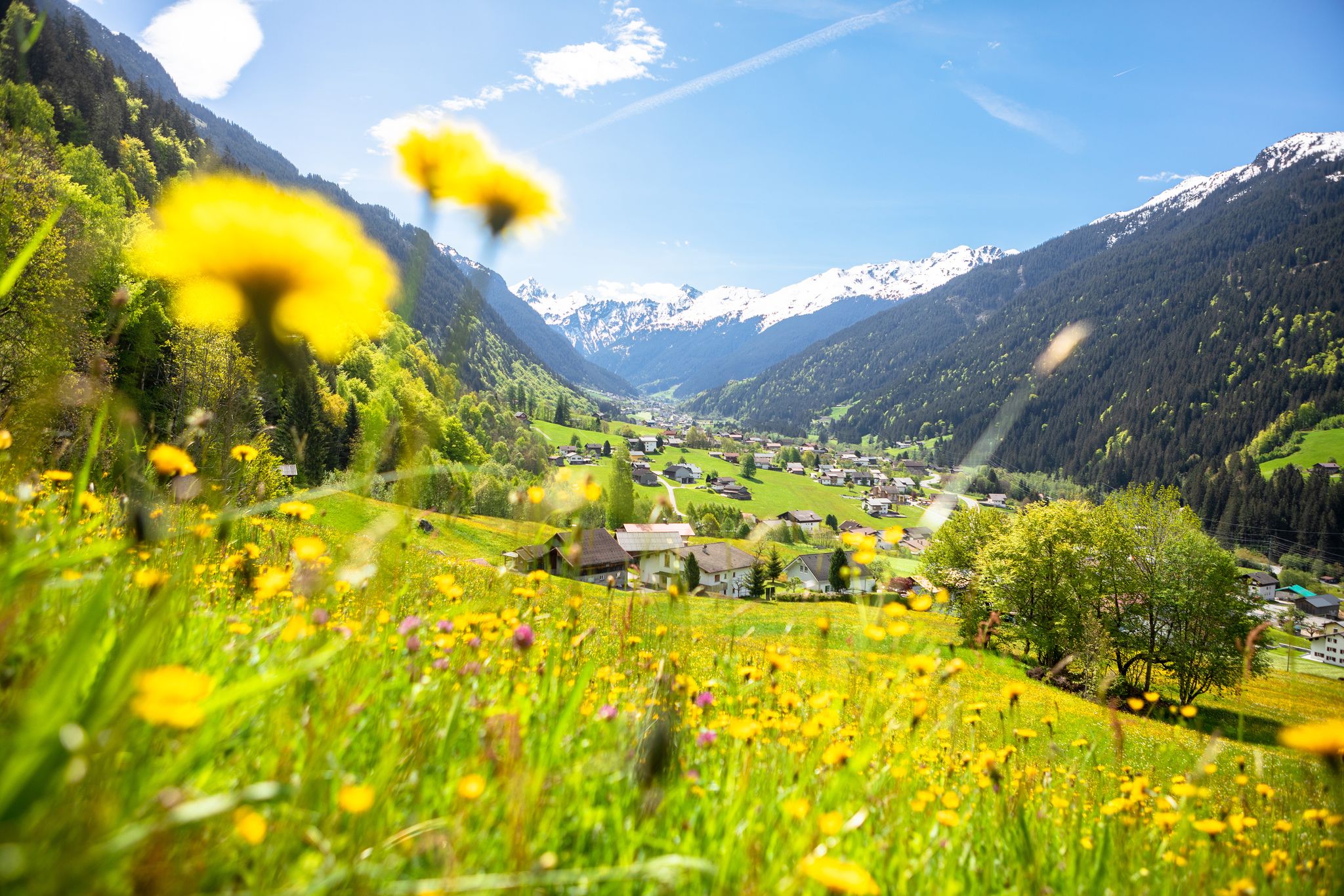
Nature awakens – spring hikes in Vorarlberg
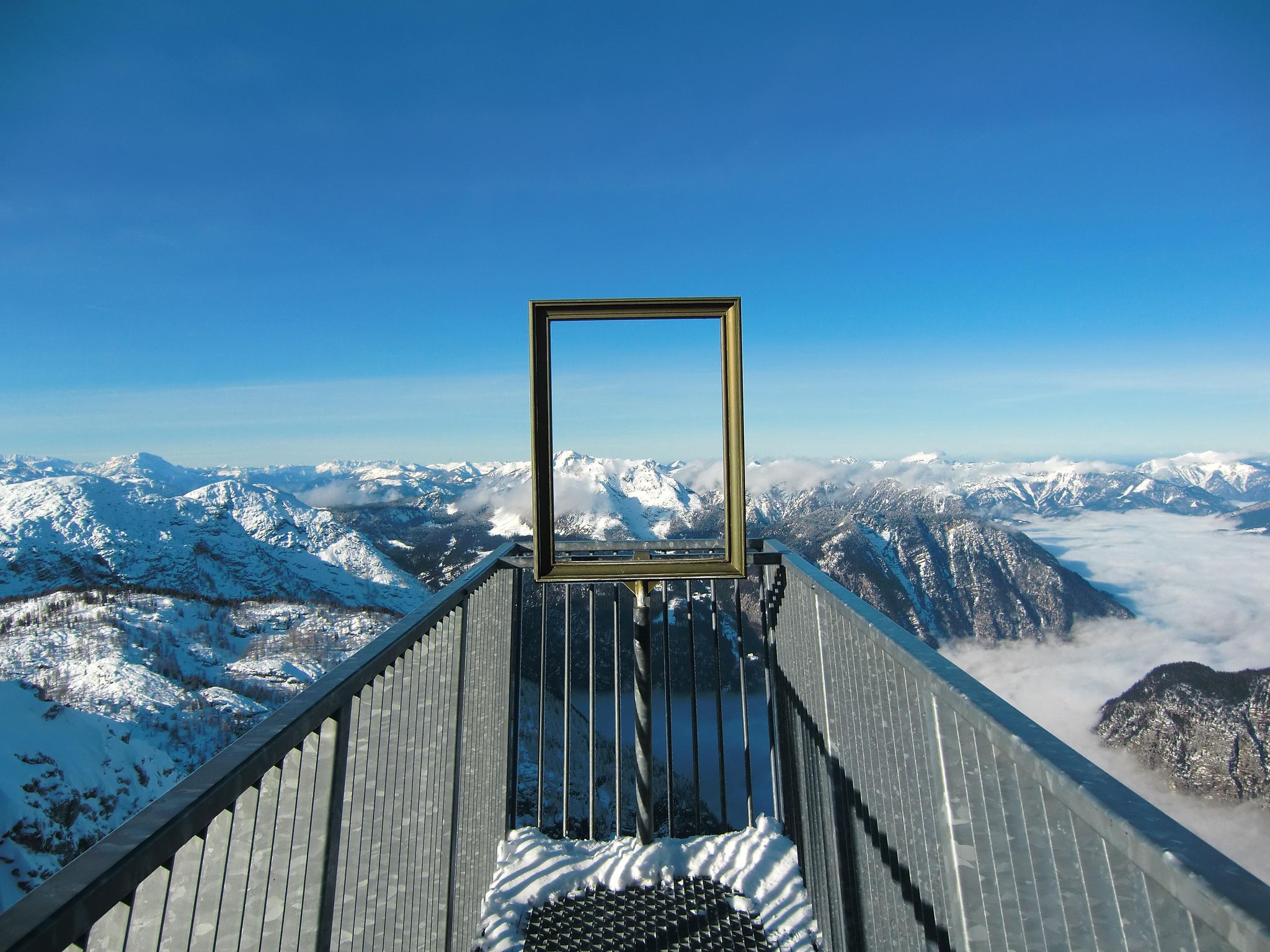
#Winterlove — 14 tips for your winter adventure in Austria
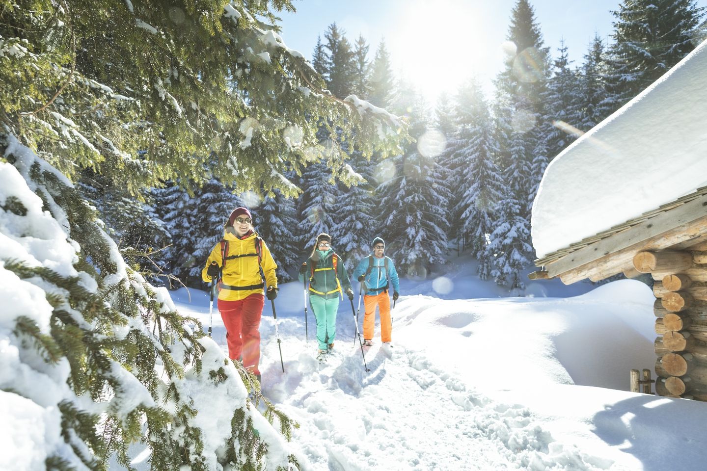
Snowshoe and winter hikes in the Montafon
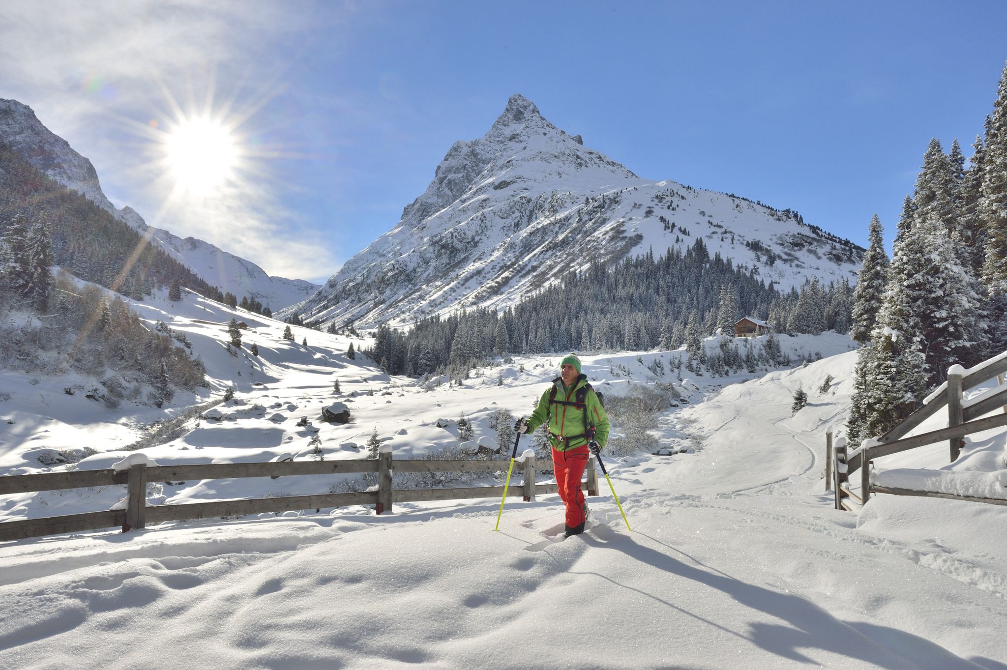
Find the snow! Winter hiking in Vorarlberg and on the Arlberg in Austria
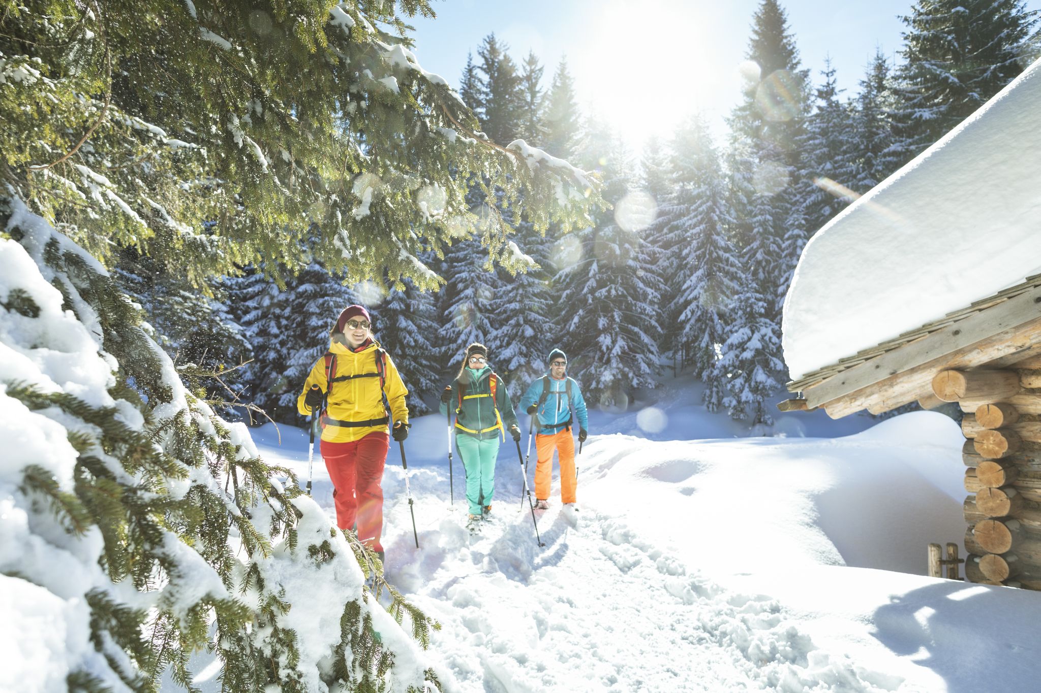
Snowshoe and winter hikes in the Montafon
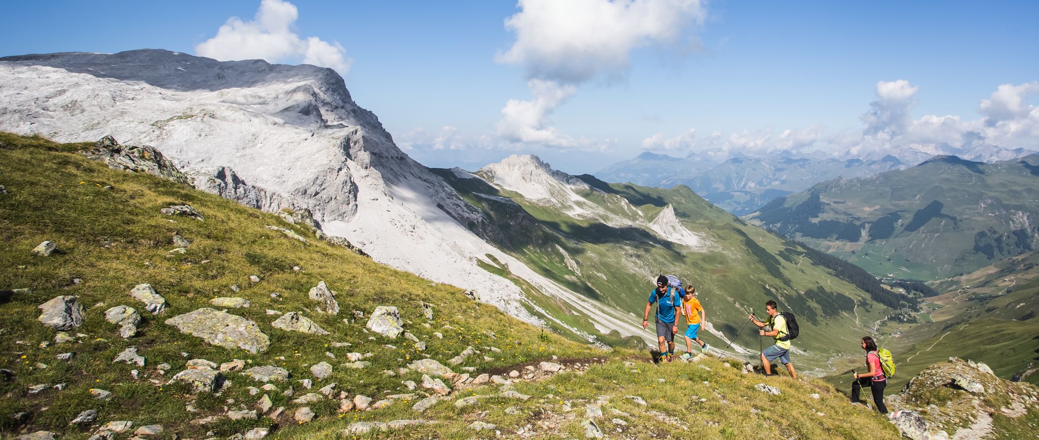
Hiking the most beautiful trails up in the Montafon mountains
バルトロメベルクでのの他の冒険


コミュニティからのヒント

実はマーケットプレイスには噴水が2つありますが、飲みすぎると4つに見えることもあります。
0
0

休憩に良い場所です - 釣り人を邪魔しないように注意してください、それぞれの趣味を尊重しましょう :-)
0
0

Anyone traveling to Zürs/Lech inevitably passes by the Flexenhäusl. It lies at the highest point of the Flexenstrasse, at 1773m, right next to the European watershed.
6
0
The Flexenpass at 1,773m altitude connects the Lechtal with the western ramp to the Arlbergpass and is therefore part of the European watershed between the Danube and the Rhine.
4
0

Definitely a fantastic route, but it will cost you something. For the experienced cyclist, we'll say.
0
0

The Faschina Road (L 193) is a state road in Austria. It is 38.6 km long and runs from Nüziders on the Ill River to Au on the Bregenzer Ach. A large part of the route runs through the Großes Walsertal Valley. The state road is named after the Faschinajoch Pass, the highest point on the route at 1,486 m above sea level. Wikipedia
1
0

komootモバイルアプリでインスピレーションを得よう


さらに探索
他の地域の最高のロードサイクリングルートを見てみましょう。
