ノイジー・ルディニョンのおすすめウォーキング&ハイキングルート
4.2
(113)
648
ハイカー
90
ハイキング
ノワジ=リュディニョン周辺のハイキングでは、主に広大なフォンテーヌブローの森とロワン川を中心とした多様な自然景観にアクセスできます。この地域は、広大な森林地帯、ユニークな砂岩の岩石層、絵のように美しい川の環境が特徴です。砂漠のような平野、岩場、絵のように美しい峡谷など、変化に富んだ地形があり、さまざまなハイキング体験を提供します。このエリアは、セーヌ=エ=マルヌ県の自然の特徴や歴史的な町を探索するための拠点となります。
ノワジ=リュディニョン周辺のベストハイキングトレイル
- 最も人気のあるハイキングルートは、Two Rivers Loop Trailで、距離11.95マイル(19.2 km)、所要時間4時間52分です。この適度な難易度のルートは、2つの川の合流点と岸辺を巡り、穏やかな水辺の景色を楽しめます。
- 地元のハイカーに人気のもう一つのルートは、La Croix de Saint-Pierre – Flagy, a village of character loop from Thoury-Férottesで、適度な難易度の6.59マイル(10.6 km)のトレイルです。このトレイルは田園風景を通り抜け、魅力的なフラジ村に繋がっています。
- 地元のハイカーは、La Grande-Paroisseからのハイキングループも気に入っています。この8.65マイル(13.9 km)のトレイルは、変化に富んだ地形を通り抜け、所要時間は約3時間44分です。
- ノワジ=リュディニョン周辺のハイキングは、広大なフォンテーヌブローの森、蛇行するロワン川、独特の砂岩の形成によって特徴づけられます。このネットワークは、穏やかな川沿いの散策から、より挑戦的な森のルートまで、さまざまなレベルの能力に対応するオプションを提供します。
- ノワジ=リュディニョンのルートは、80件以上のレビューから平均4.1つ星という高い評価をkomootコミュニティから受けています。500人以上のハイカーがkomootを利用して、ノワジ=リュディニョンの変化に富んだ地形を探索しています。
最終更新日: 11月 4, 2026
4.5
(2)
9
ハイカー
19.2km
04:52
40m
40m
中程度のハイキング. ある程度のフィットネスレベルが必要です。 ほとんどが歩ける道です。足元への注意が必要です。
6
ハイカー
10.6km
02:44
60m
60m
中程度のハイキング. ある程度のフィットネスレベルが必要です。 歩きやすい道です。

5.0
(2)
5
ハイカー
12.0km
03:01
20m
20m
中程度のハイキング. ある程度のフィットネスレベルが必要です。 歩きやすい道です。
7
ハイカー
14.3km
03:50
170m
170m
中程度のハイキング. ある程度のフィットネスレベルが必要です。 歩きやすい道です。
3.0
(6)
17
ハイカー
8.48km
02:08
10m
10m
中程度のハイキング. ある程度のフィットネスレベルが必要です。 歩きやすい道です。
さらに多くのルートや他のユーザーのおすすめ情報を確認できます。
すでにアカウントをお持ちですか?
おすすめのツアーは他のkomootユーザーが実際に経験した何千ものアクティビティに基づいています。
無料アカウントで今日から始めよう
次の冒険が待っています。



コミュニティからのヒント

Crossed by the Orvanne. Picturesque bridges and wash houses.
0
0

The Great Parish (Cella Sancti German Manea Parochiae) owes its original name to the Christian Latin Cella, which means hermitage and sometimes "small monastery" following groups of hermits from the Carolingian era. This commune was the favorite villa of the Merovingian leudes and took the name of Villam Cellas, became Cellae then Altare de Cellis in honor of Saint-Germain. Legend of Saint-Germain of Paris: "Childebert I fell ill in this place and was miraculously cured by the saint whom he had called. In gratitude, he gave him the lands forming today the parishes of Vernou, Machault and La Grande Parish. The Church was dedicated to him. Formerly a Priory". Great Parish The first meeting of Louis XV and Marie Leckzinska took place on the territory of the commune, on September 4, 1725. A red marble column was raised to commemorate the event. At the La Grande Paroisse cemetery, a gate surrounds the grave of Claudie Elie Montain Horeau, doctor to Empress Joséphine and Emperor Napoleon 1st, member of the Academy of Medicine, Knight of the Legion of Honor, died on February 11, 1841.
1
0

Flagy is an old fortified place. The village was built in the 12th century by order of Louis VII in 1130. On the edge of a royal domain, it is built according to a rectangular plan, as shown by the seven parallel streets leading to the river crossed by seven bridges or gateways. The course of the Orvanne has been diverted and developed to supply the village with water. The mill, built in the 13th century, still exists and is a good representation of the traditional regional architecture of the time. Besides the river, seven wells, one in each of the parallel streets, provided drinking water. There are still several of them, which were used until 1960. On Heritage Day, you can visit two underground entrances. A network of underground passages connected the food cellars which also served as refuges during invasions of the village by enemies. One can see in one of the underground passages some remains of ancient objects. A curiosity on the roof of the church, the weather vane has two symbols: a rooster, the usual symbol, and a pig's head, another symbol, a lasting memory of a local legend, transmitted orally. During the Hundred Years War, the terrible Black Death reached many villages in Île-de-France. Affected by the epidemic, the inhabitants of a neighboring village came to seek help in Flagy, where there was a hospital (Hôtel-Dieu). But the Flagiens energetically refused entry into the village to the sick. The poor people had to look elsewhere for a better welcome. It is said that the bishop, outraged by this attitude of refusal, this lack of compassion, inflicted a punishment on the Flagians. Since then a weather vane in the shape of a pig's head has been turning according to the winds on the roof of the church. Recently rediscovered in the "Favorite Village of the French" 2023, Flagy may not have won the crown, but remains a nice heritage to discover.
0
0

Ornithological reserve near the Yonne, ideal place for birds due to its many natural habitats (ponds, riparian forests, marshes, orchid lawns, etc.). During the different seasons you can observe up to 1220 different species of birds, some migratory, others nesting. Some examples of species you may see there are kingfishers, gray herons, European bullfinch and reed bunting.
0
0

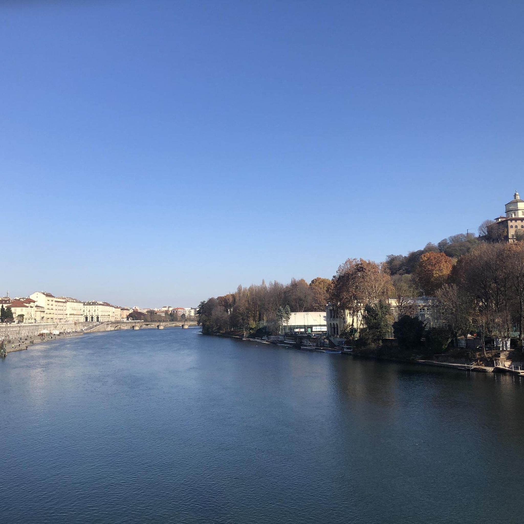
Here you can enjoy an incredible view of the Seine and the bridge. Admire how the river, the greenery and the city come together. The statue of Napoleon watches over the Sentier de la Seine, a magnificent route that runs along one of the main French rivers.
0
0
Observatory to contemplate the birds.
0
0

This wash house built in 1890 is fed directly from a very close source.
1
0
よくある質問
ノワジ=リュディニョン周辺のハイキングでは、どのような地形が予想されますか?
ノワジ=リュディニョン周辺の地域は、主に広大なフォンテーヌブローの森の中で、多様な地形を提供しています。広大な森林地帯、ユニークな砂岩の岩層、ロワン川沿いの絵のように美しい川の環境に出会うでしょう。砂地の平原、岩の多い区間、景色の良い渓谷など、変化に富んだ路面を予想し、豊かで変化に富んだハイキング体験を提供します。
初心者やカジュアルなハイカーに適した簡単なハイキングコースはありますか?
はい、簡単なオプションはたくさんあります。全76ルート中、31ルートが「簡単」に分類されています。短くて簡単なループの例としては、フラジから出発する「La Croix de Saint-Pierre – Flagy, a village of character loop from Flagy」があり、長さはわずか5km強です。
この地域をハイキング中に、どのような自然の特徴やランドマークを見ることができますか?
この地域は豊かな自然美に恵まれています。フォンテーヌブローの森の中にある、ユニークな砂岩の岩層やレ・ザブル・デュ・キュ・デュ・シアンのような砂地の広がりを探検できます。静かなロワン川も、特に中世の町モレ=シュル=ロワン周辺では、絵のように美しい景色を提供しています。セーヌ川とその橋の上の息をのむようなパノラマビューを提供するルートもあります。
周回ハイキングコースはありますか?
はい、この地域にはループ状に設計されたルートがたくさんあります。例えば、人気の「Two Rivers Loop Trail」は、川岸を探検する中程度の難易度の19.2kmの周回コースです。別の選択肢としては、「Hiking loop from La Grande-Paroisse」があり、これは変化に富んだ地形を巡る中程度の難易度の13.9kmのトレイルです。
ノワジ=リュディニョン周辺のハイキングに最適な時期はいつですか?
この地域は一年中美しいですが、特に春と秋は、穏やかな気温と鮮やかな紅葉で、非常に快適な条件を提供します。オーク、栗、松の木々があるフォンテーヌブローの森の多様な樹木環境は、見事な季節のディスプレイを作り出します。夏は暑くなることがありますが、広大な森は十分な日陰を提供します。
経験豊富なトレッカー向けの、より長く、より挑戦的なハイキングコースはありますか?
ほとんどのトレイルは簡単から中程度ですが、より大きな挑戦を求める人のために「難しい」に分類されたルートが4つあります。フォンテーヌブローの森にある岩の多い区間や高い「プラティエール」を含む地域の多様な地形は、よりきついオプションを提供することができます。
ハイキングコースに犬を連れて行ってもいいですか?
ハイキングエリアの大部分を占めるフォンテーヌブローの森は、一般的に犬に優しいです。しかし、特に保護区域内や野生動物の繁殖期には、犬をリードにつないでおくことを常に推奨しており、特定のトレイルや自然保護区の具体的な地方規制を確認することをお勧めします。
ノワジ=リュディニョン周辺のトレイルについて、他のハイカーはどのように言っていますか?
ノワジ=リュディニョン周辺のハイキングルートは、komootコミュニティから高く評価されており、80件以上のレビューから平均4.1つ星を獲得しています。ハイカーは、多様な景観、ユニークな砂岩の形成、そして静かな川沿いの小道をしばしば賞賛しています。
ハイキングの後に訪れる価値のある近くの町や村はありますか?
もちろんです。フォンテーヌブローの森とロワン川の端に位置する、絵のように美しい中世の町モレ=シュル=ロワンは、訪れるのに魅力的な場所です。古い橋やロワン川の右岸から美しい景色を楽しむことができます。ハイキング後のリフレッシュに最適な場所です。
ノワジ=リュディニョンエリアには、ハイキングコースがいくつありますか?
ノワジ=リュディニョン周辺には76のハイキングルートがあり、さまざまなスキルレベルや好みに合わせた幅広いオプションを提供しています。これには、31の簡単なコース、41の中程度のコース、4つの難しいコースが含まれます。
公共交通機関を利用してハイキングの出発点にアクセスすることは可能ですか?
各出発点の具体的な公共交通機関の詳細は現地で確認するのが最善ですが、ノワジ=リュディニョンが位置するセーヌ=エ=マルヌ県は、パリから公共交通機関でアクセス可能です。特定の出発点へのアクセスに関する詳細情報については、現地の交通機関の時刻表を参照するか、komootのルーティング機能を使用してルートを計画することをお勧めします。
ノイジー・ルディニョンでのの人気観光スポット

komootモバイルアプリでインスピレーションを得よう


さらに探索
他の地域の最高のハイキングを見てみましょう。
