エグレヴィルのおすすめウォーキング&ハイキングルート
4.3
(54)
258
ハイカー
47
ハイキング
エグレヴィル周辺でのハイキングは、景色を満喫するのに最適な手段のひとつですが、適切なハイキングルートを見つけることは簡単ではありません。 エグレヴィル周辺の人気ハイキング&ウォーキングコースを参考にすれば、行きたいルートをすぐに見つけられます。
最終更新日: 8月 25, 2026
4.8
(4)
22
ハイカー
9.47km
02:24
20m
20m
中程度のハイキング. ある程度のフィットネスレベルが必要です。 進みやすいルートです。あらゆるスキルレベルに適しています。
4.8
(4)
14
ハイカー
10.1km
02:40
90m
90m
中程度のハイキング. ある程度のフィットネスレベルが必要です。 進みやすいルートです。あらゆるスキルレベルに適しています。

無料新規登録
5.0
(2)
8
ハイカー
18.7km
04:56
170m
170m
中程度のハイキング. ある程度のフィットネスレベルが必要です。 進みやすいルートです。あらゆるスキルレベルに適しています。
5.0
(1)
4
ハイカー
13.6km
03:34
100m
100m
中程度のハイキング. ある程度のフィットネスレベルが必要です。 進みやすいルートです。あらゆるスキルレベルに適しています。
3
ハイカー
9.46km
02:29
80m
80m
中程度のハイキング. ある程度のフィットネスレベルが必要です。 進みやすいルートです。あらゆるスキルレベルに適しています。
さらに多くのルートや他のユーザーのおすすめ情報を確認できます。
無料新規登録
すでにアカウントをお持ちですか?
おすすめのツアーは他のkomootユーザーが実際に経験した何千ものアクティビティに基づいています。
無料アカウントで今日から始めよう
次の冒険が待っています。
ログインまたは登録
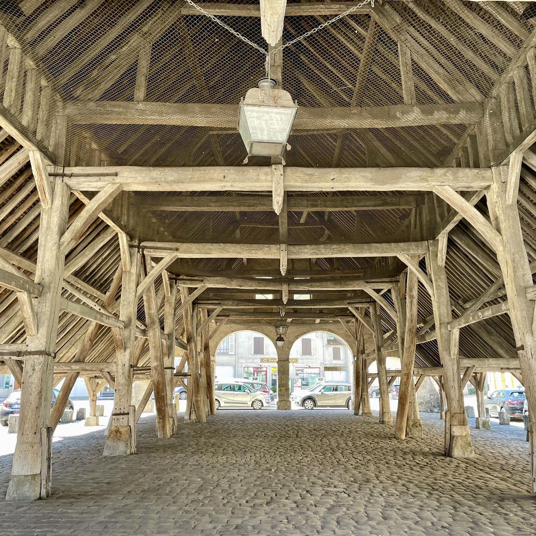
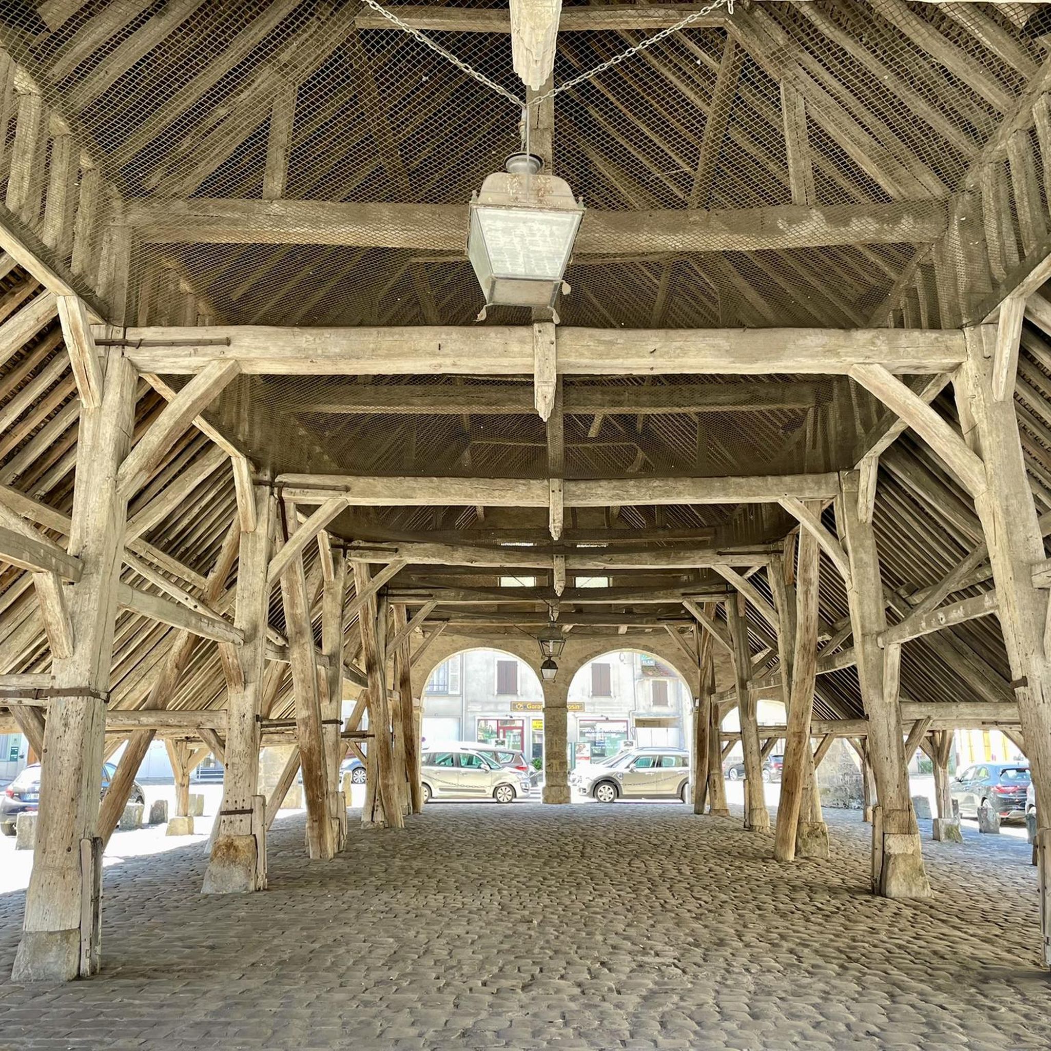
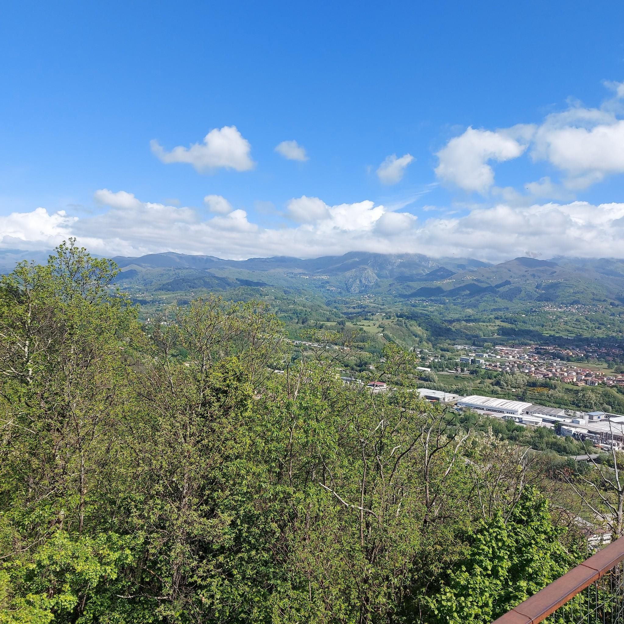

コミュニティからのヒント

The Lorroy canal bridge (Néronville) is a small but elegant 19th-century structure. Rebuilt in 1880 according to the Freycinet law, it serves both as a functional structure for the Loing Canal and as a discreet testimony to the region's river heritage, freely accessible in the open countryside.
0
0

Village located at the crossroads of two ancient Roman roads. Castle built in the 12th century, partly destroyed by the English under Charles VII and heavily restored in the 19th century. The church, topped with a weather vane representing St George, has a pediment on which one can read the religious precepts during the French Revolution.
0
0

It was referenced on the first list of Historic Monuments by Prosper Mérimée in 1840. This church was restored in the second half of the 19th century because the nave and the aisles were in danger of ruin. This major restoration led by the architect Sauvageot was completed in 1896
0
0

Building built from the second half of the 12th century for Henri Clément, one of the first marshals of France, you can only see the ramparts from the road. But behind the heavy gate of the imposing castle facade stands a unique monument that contains several castles in one built over several eras. Nicknamed the "Louvre du Gâtinais", the Château de Mez is one of the first copies of Philippe Auguste's Château du Louvre. But unlike the latter, managed to preserve almost all of its medieval architecture.
0
0

Many arms of the Lunain river, you can walk along it and see its many mills. Paley is a beautiful village, very well maintained.
0
0

The Notre-Dame de l'Assomption church was built between the 11th and 14th centuries and combines Carolingian, Romanesque and Gothic styles. Its bell tower, visible from afar, dominates the region with its 57 meters. It is divided into three registers, crossed right through by light and wind. The nave is made up of three naves (including two aisles). Built in local limestone, the church offers an astonishing contrast between the nave and the left aisle of Romanesque construction, with squat pillars, and its transept and its apse from the 12th century which mark the period of Romanesque- Gothic.
0
0
very beautiful place with its old mill (destroyed), a lock, a refreshing river, a small paradise.
0
0
エグレヴィルでのの人気観光スポット

komootモバイルアプリでインスピレーションを得よう


さらに探索
他の地域の最高のハイキングを見てみましょう。
