Plouhaのおすすめウォーキング&ハイキングルート
4.5
(634)
3,990
ハイカー
87
ハイキング
Plouha周辺でのハイキングは、景色を満喫するのに最適な手段のひとつですが、適切なハイキングルートを見つけることは簡単ではありません。 Plouha周辺の人気ハイキング&ウォーキングコースを参考にすれば、行きたいルートをすぐに見つけられます。
最終更新日: 9月 26, 2026
4.8
(50)
265
ハイカー
17.1km
04:41
270m
270m
Hike the Cliffs of Plouha loop, a moderate 10.6-mile (17.1 km) trail with stunning coastal views and historical sites.
4.5
(36)
228
ハイカー
13.7km
03:40
150m
150m
中程度のハイキング. ある程度のフィットネスレベルが必要です。 進みやすいルートです。あらゆるスキルレベルに適しています。

4.9
(14)
138
ハイカー
25.8km
07:13
510m
510m
難しいハイキング. 標準以上のフィットネスレベルが必要です。 進みやすいルートです。あらゆるスキルレベルに適しています。
4.6
(25)
151
ハイカー
14.0km
03:58
310m
310m
中程度のハイキング. ある程度のフィットネスレベルが必要です。 進みやすいルートです。あらゆるスキルレベルに適しています。
4.6
(25)
134
ハイカー
10.6km
03:02
250m
250m
中程度のハイキング. ある程度のフィットネスレベルが必要です。 進みやすいルートです。あらゆるスキルレベルに適しています。
さらに多くのルートや他のユーザーのおすすめ情報を確認できます。
すでにアカウントをお持ちですか?
おすすめのツアーは他のkomootユーザーが実際に経験した何千ものアクティビティに基づいています。
無料アカウントで今日から始めよう
次の冒険が待っています。
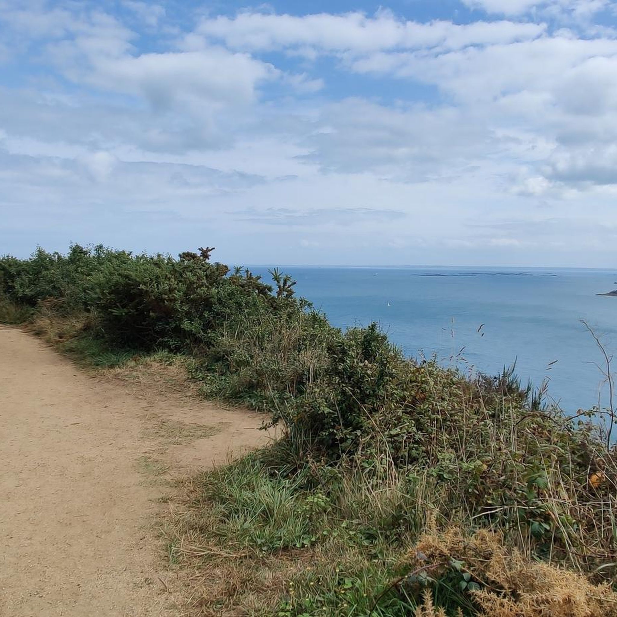
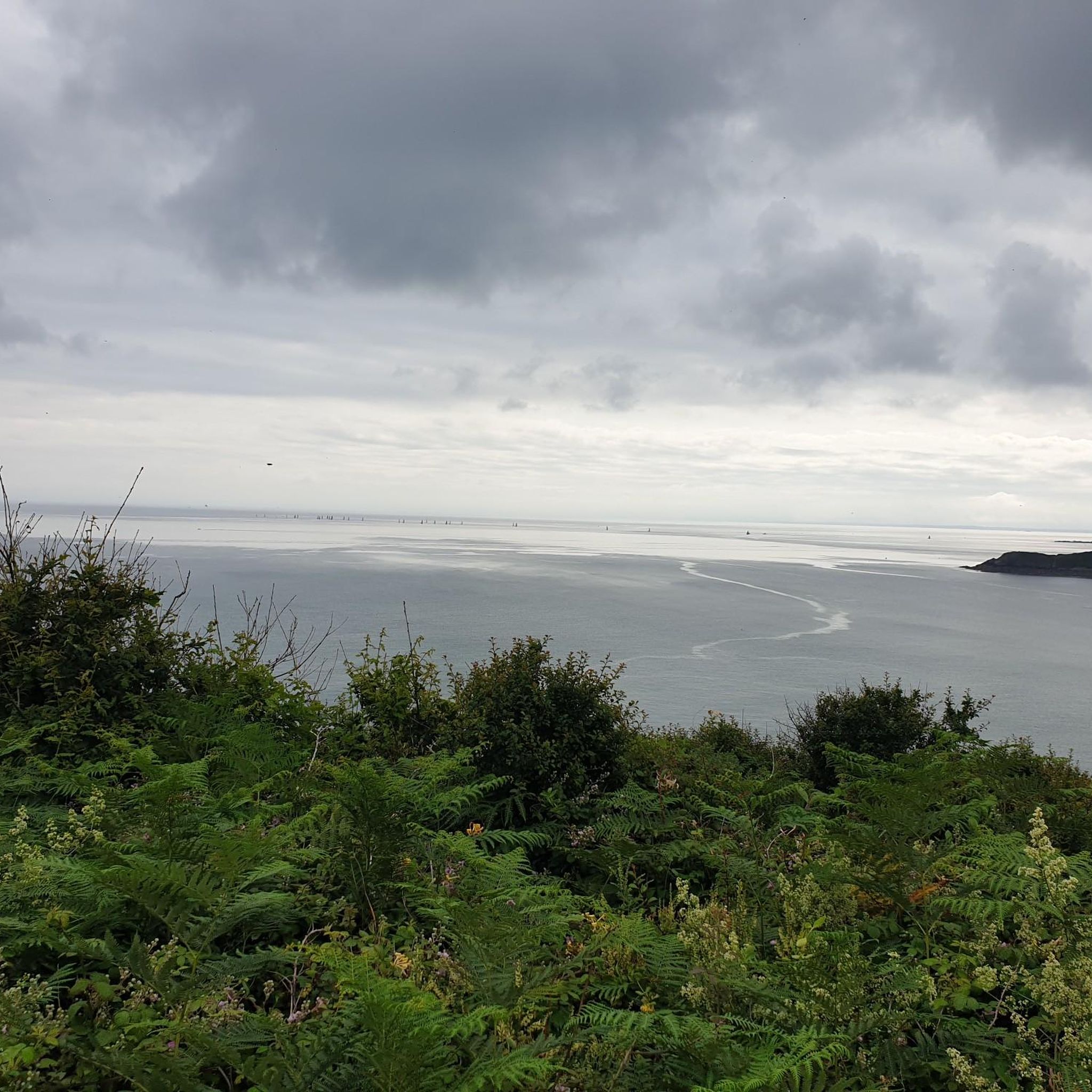
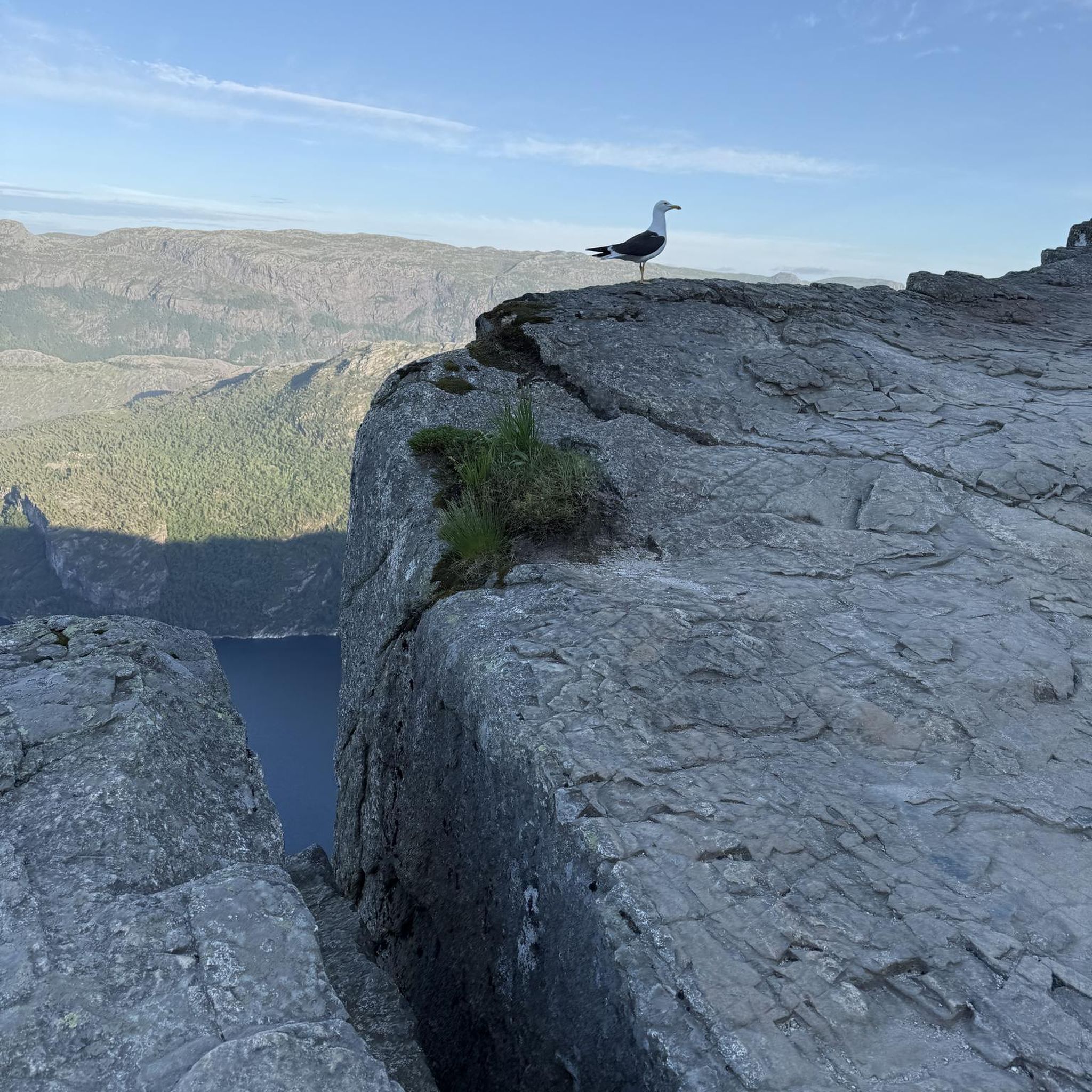


コミュニティからのヒント


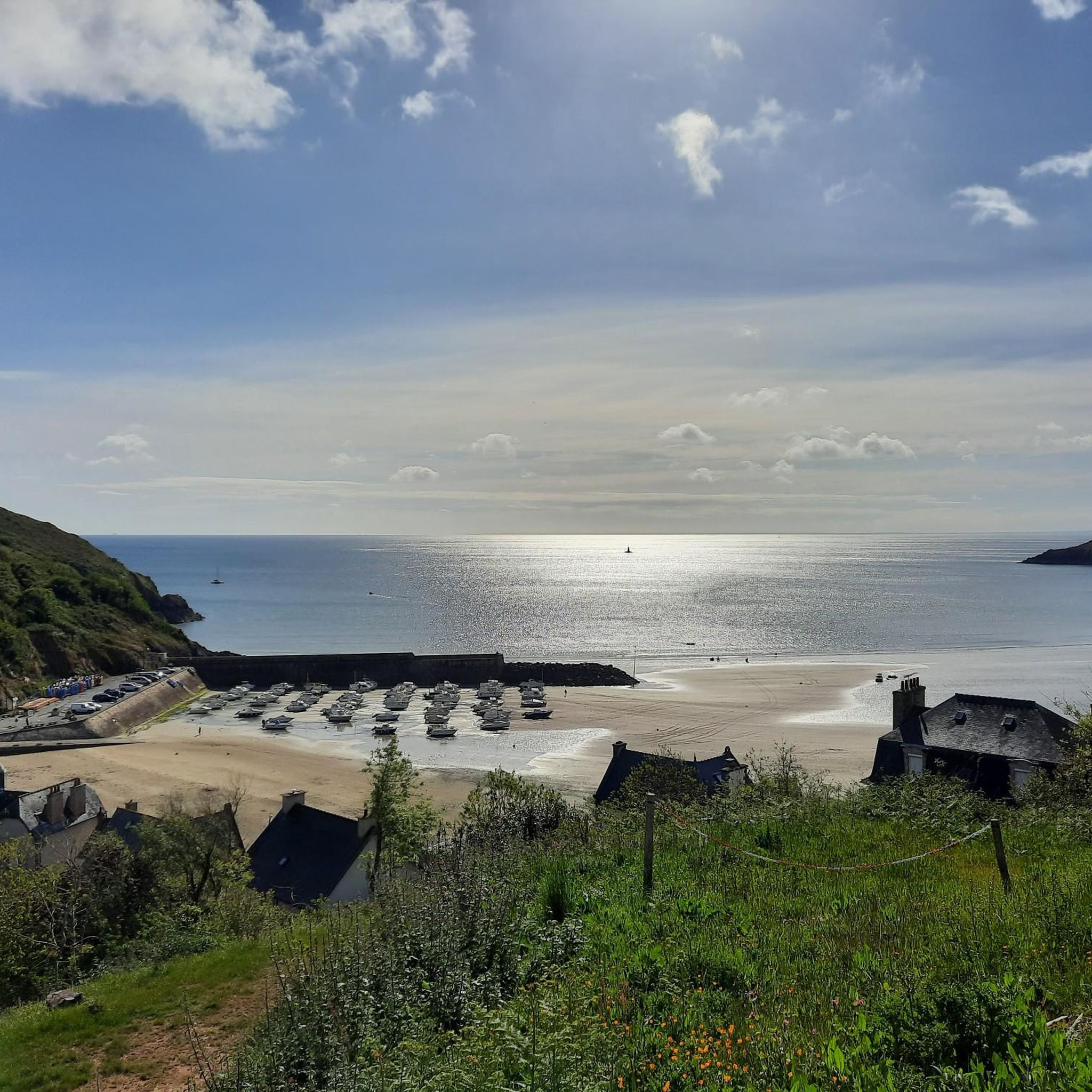
珍しいですね、なぜですか? その理由は、ブルターニュの北海岸における非常に強い潮汐です。干潮時には、水が so far 下がるため、小さな港は部分的に、またはほぼ完全に干上がります。その時、海底、岩、そして港の施設が水なしで見えます。満潮になって初めて、その水域は再び満たされます。 さらに、Port Moguer は古典的な商業港ではなく、狭い岩の裂け目に埋め込まれた非常に小さな沿岸漁港です。
0
0
In this case, you'd first drive there, then return via the GR34, which offers great views, and then cycle back to the car. This is at least convenient for the climb from the parking lot.
0
0

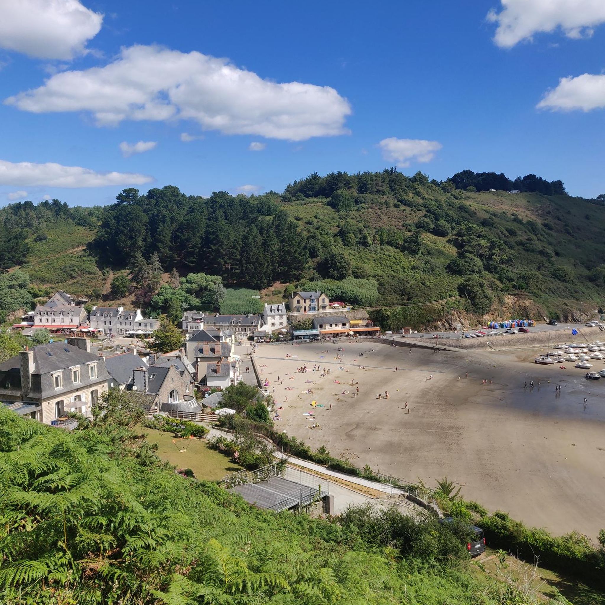
A pretty sea view path above Bréhec beach.
0
0

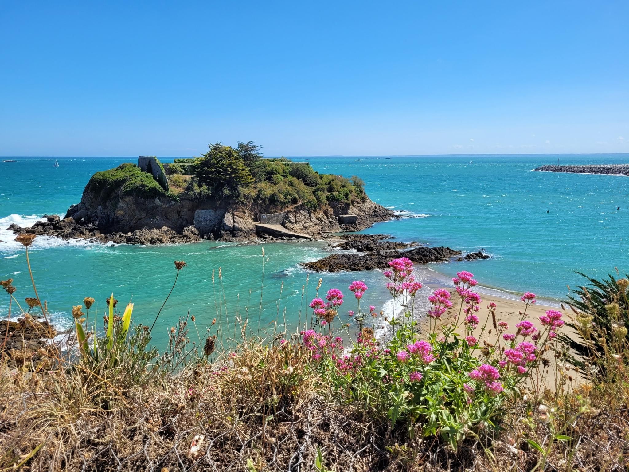
The view of the coast from the tip of Bec de Vir is breathtaking! The access path runs alongside cultivated plots before overlooking the birth of the high cliffs of Plouha and the large beach of Palus to the north. Further south, the rocks of the St-Quay islands and the rocky plateau of Rohein are easily visible at low tide. You can also see the semaphore of Saint-Quay-Portrieux. This sentinel has been watching over maritime traffic in the bay since 1860. Photo credit: Emmanuel Berthier
0
0
"Gored" comes from a Breton word meaning fishery with a dam. The right to goretterie was granted to the lords of Goelo by the monks of the abbey of Beauport in port Goret (a method of catching fish stuck at low tide). The remains of the dam are still visible. Photo credit: Emmanuel Berthier
0
0
A raised dike, dating from the end of the 19th century, was built between the isolated rock of Châtelet and the rocky coast, in order to protect the cove from the winds and the westerly swell. A local road served the port in 1882 for the transport of marine amendments. The port housed about fifteen small sand and fishing boats at the end of the 19th century and only 5 canoes. Photo credit: Emmanuel Berthier
0
0
Plouhaでのの人気観光スポット

komootモバイルアプリでインスピレーションを得よう


さらに探索
他の地域の最高のハイキングを見てみましょう。
