リングルヴィルのおすすめウォーキング&ハイキングルート
4.5
(327)
1,997
ハイカー
157
ハイキング
リングルヴィル周辺でのハイキングは、景色を満喫するのに最適な手段のひとつですが、適切なハイキングルートを見つけることは簡単ではありません。 リングルヴィル周辺の人気ハイキング&ウォーキングコースを参考にすれば、行きたいルートをすぐに見つけられます。
最終更新日: 10月 21, 2026
4.5
(19)
80
ハイカー
8.71km
02:12
20m
20m
中程度のハイキング. ある程度のフィットネスレベルが必要です。 歩きやすい道です。
4.8
(11)
30
ハイカー
8.65km
02:11
20m
20m
中程度のハイキング. ある程度のフィットネスレベルが必要です。 歩きやすい道です。

4.0
(3)
13
ハイカー
12.5km
03:13
60m
60m
中程度のハイキング. ある程度のフィットネスレベルが必要です。 歩きやすい道です。
3.5
(2)
16
ハイカー
6.66km
01:41
20m
20m
初級者向けハイキング. 歩きやすい道です。
5
ハイカー
7.18km
01:50
20m
20m
初級者向けハイキング. 歩きやすい道です。
さらに多くのルートや他のユーザーのおすすめ情報を確認できます。
すでにアカウントをお持ちですか?
おすすめのツアーは他のkomootユーザーが実際に経験した何千ものアクティビティに基づいています。
無料アカウントで今日から始めよう
次の冒険が待っています。
コミュニティからのヒント

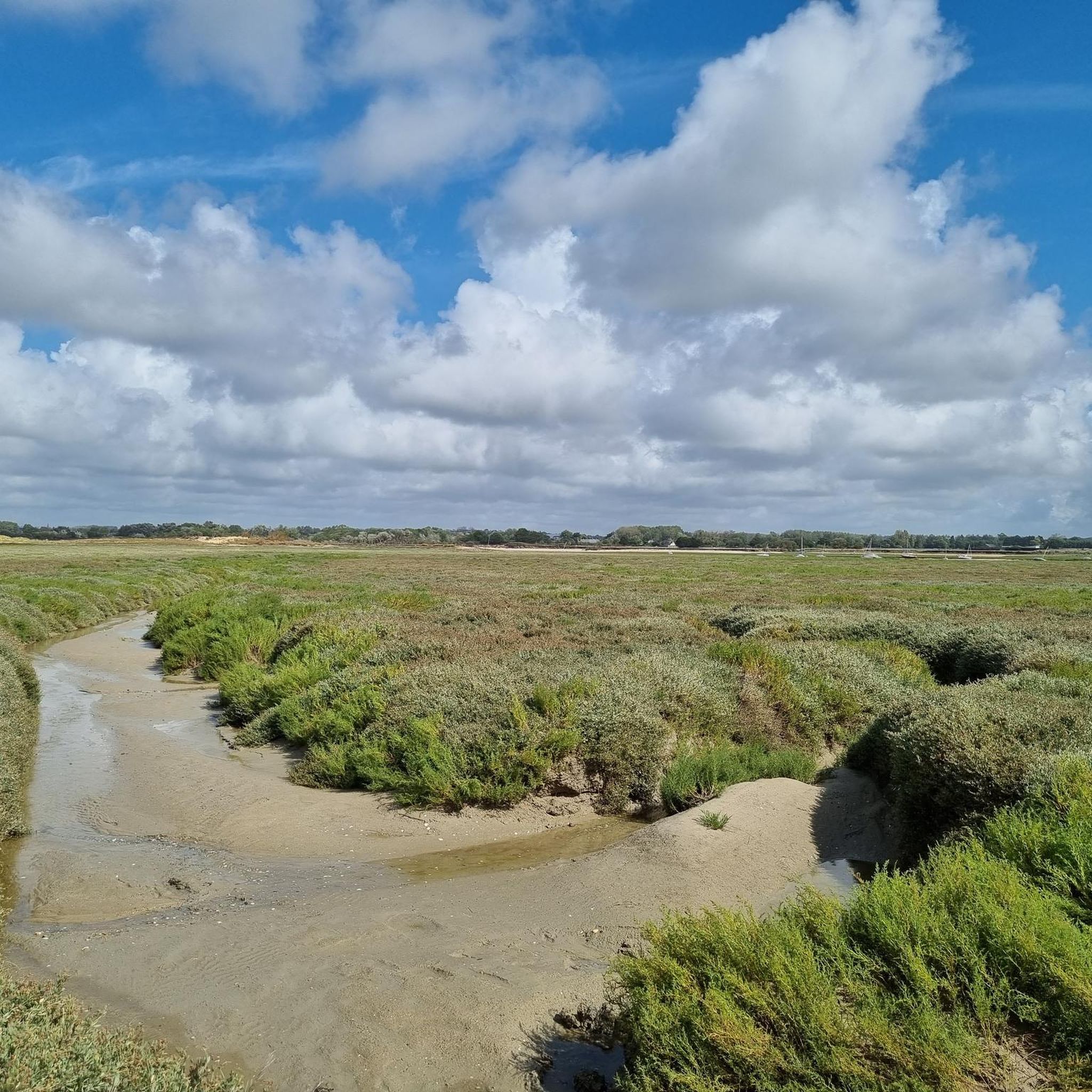
美しい区間で、道路が冠水する様子は圧巻です。放牧されている羊たちも忘れてはいけません
1
0

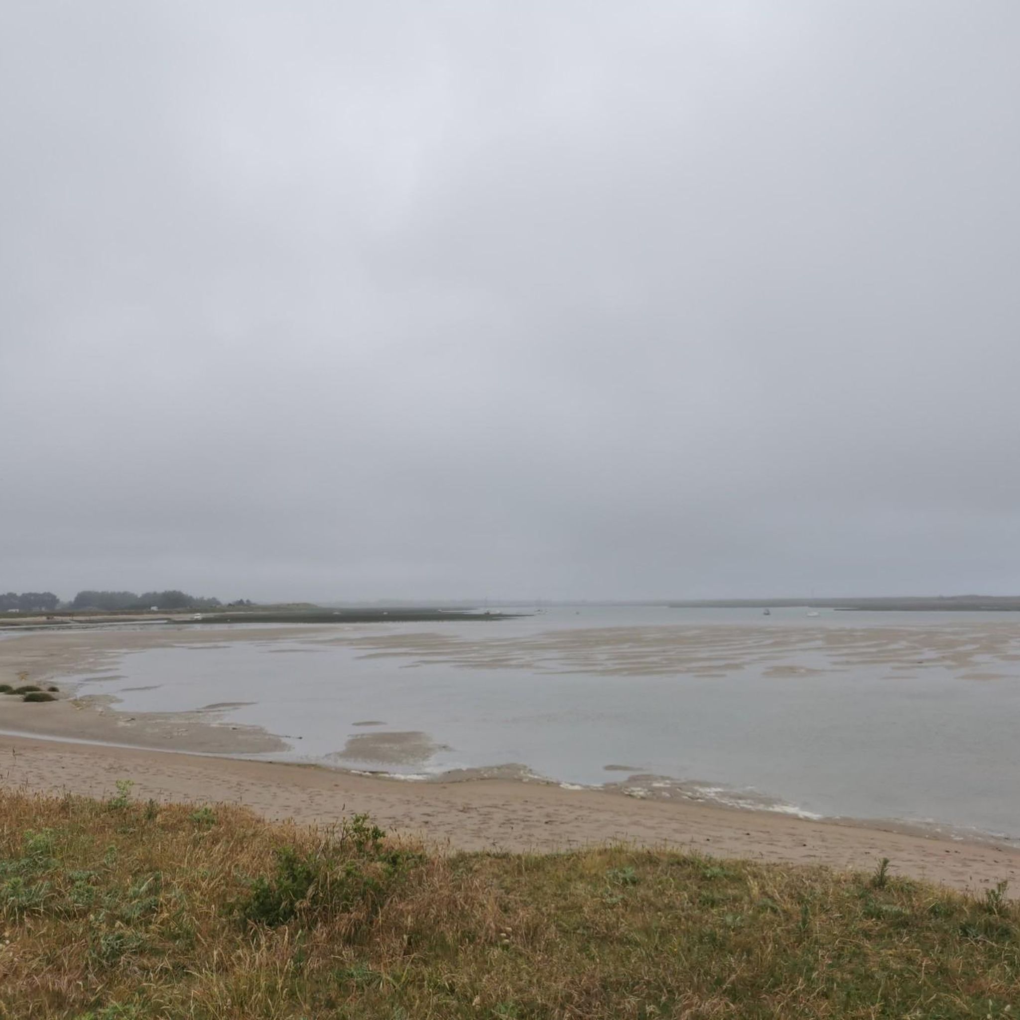
This place is commonly called in the area "the end of the world". Towards the north, the dune landscape is also lunar... A few sheepfolds punctuate the immense expanse. The sandy spit stretches as far as the eye can see, a fragile natural dike separating the Channel and the harbor of La Vanlée.
1
0

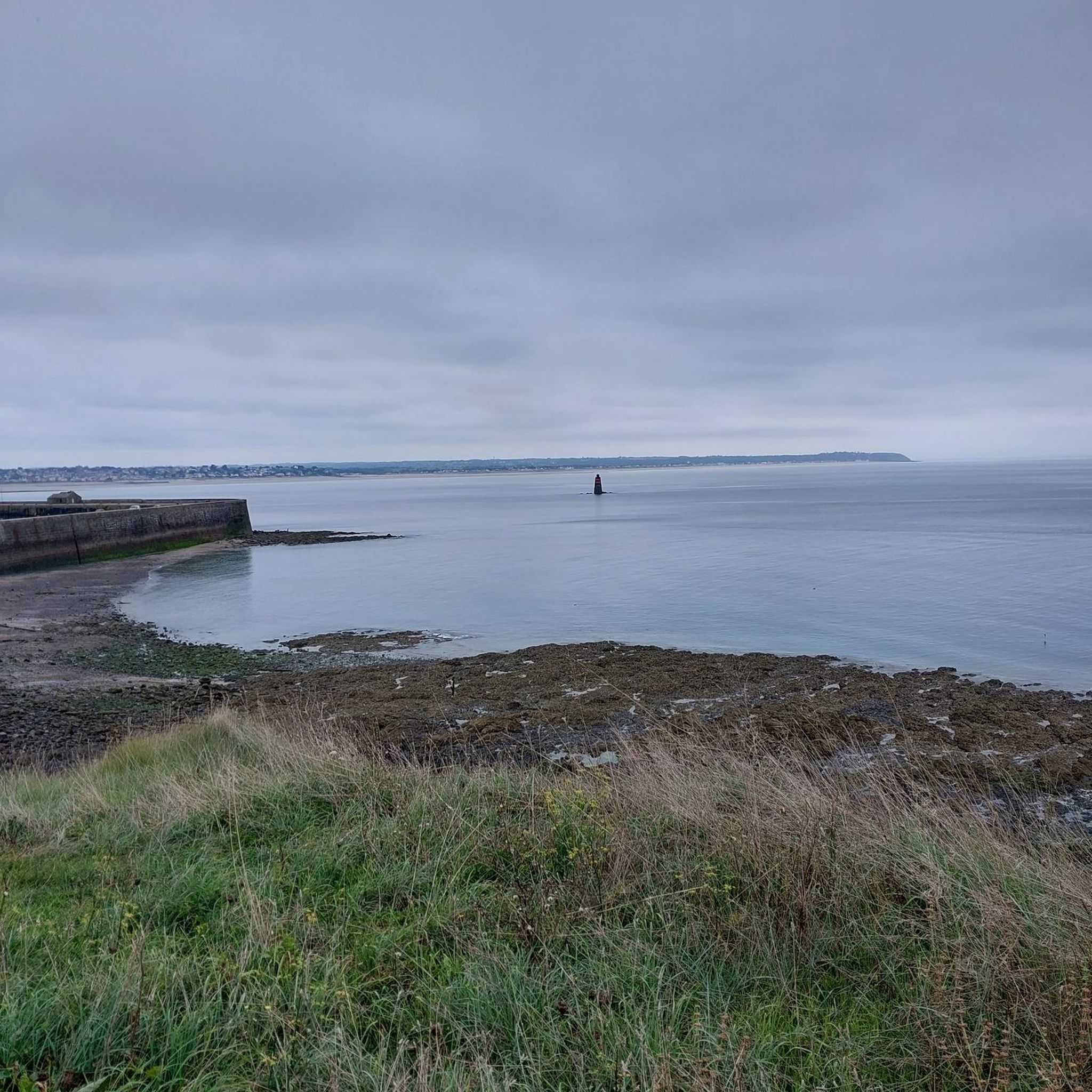
Nice hiking trail, a bit adventurous along the coast and through the dunes.
0
0
Very nice large beach and totally empty out of season.
1
0

Havre is also known for its road that is flooded at high tide2. The road that runs through the Havre de la Vanlée is the departmental road D375. This road is flooded by the sea during high tide when the tide level exceeds 93.
3
0

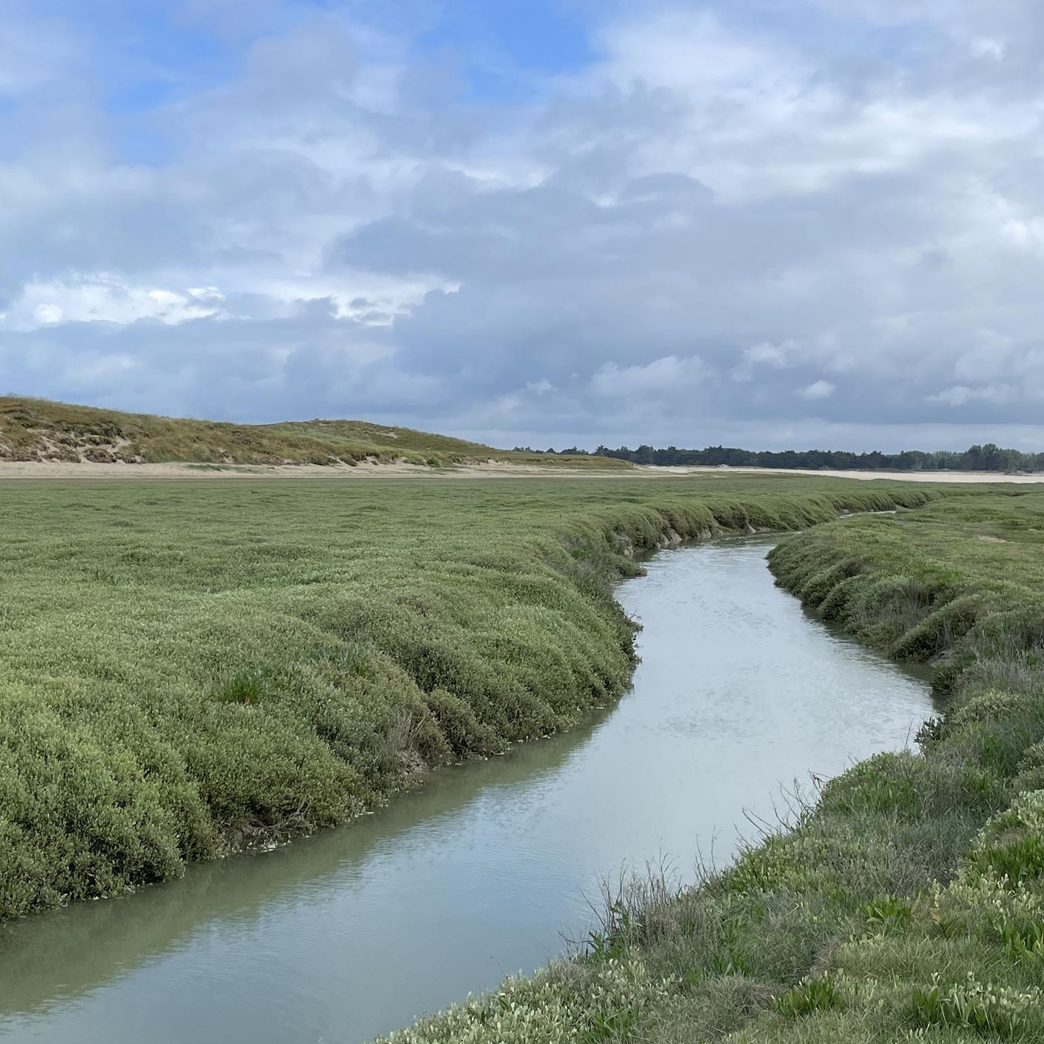
This natural and wild space is made up of salicornia, salt meadows, dunes and (a few sheep). You'll run through varied terrain where there's always something to see. Along the dune peninsula, you can observe the meeting of the Vanlée and the sea.
2
0
Dunes, meadows and sheep. A perfect combination for a hike along the beaches and the sea. Here is the beautiful entrance to the Havre de la Vanlée.
2
0
リングルヴィルでのの人気観光スポット

komootモバイルアプリでインスピレーションを得よう


さらに探索
他の地域の最高のハイキングを見てみましょう。
