マルティニュ=シュル=マイエンヌのおすすめウォーキング&ハイキングルート
4.5
(97)
502
ハイカー
47
ハイキング
マルティニュ=シュル=マイエンヌ周辺でのハイキングは、景色を満喫するのに最適な手段のひとつですが、適切なハイキングルートを見つけることは簡単ではありません。 マルティニュ=シュル=マイエンヌ周辺の人気ハイキング&ウォーキングコースを参考にすれば、行きたいルートをすぐに見つけられます。
最終更新日: 9月 10, 2026
4.4
(10)
28
ハイカー
8.80km
02:24
130m
130m
中程度のハイキング. ある程度のフィットネスレベルが必要です。 進みやすいルートです。あらゆるスキルレベルに適しています。
5.0
(2)
15
ハイカー
8.68km
02:17
80m
80m
中程度のハイキング. ある程度のフィットネスレベルが必要です。 進みやすいルートです。あらゆるスキルレベルに適しています。

5.0
(1)
7
ハイカー
10.5km
02:48
120m
120m
中程度のハイキング. ある程度のフィットネスレベルが必要です。 進みやすいルートです。あらゆるスキルレベルに適しています。
3.0
(1)
6
ハイカー
3.43km
00:55
40m
40m
初級者向けハイキング. あらゆるフィットネスレベルに適しています。 進みやすいルートです。あらゆるスキルレベルに適しています。
5
ハイカー
19.3km
05:05
170m
170m
難しいハイキング. 標準以上のフィットネスレベルが必要です。 進みやすいルートです。あらゆるスキルレベルに適しています。
さらに多くのルートや他のユーザーのおすすめ情報を確認できます。
すでにアカウントをお持ちですか?
おすすめのツアーは他のkomootユーザーが実際に経験した何千ものアクティビティに基づいています。
無料アカウントで今日から始めよう
次の冒険が待っています。


コミュニティからのヒント

From here you can appreciate the green hills and fields disappearing from your field of vision.
2
0
The Saint-Cénéré church is a Romanesque church built on a rocky promontory in the village of Saint-Cénéré, in the department of Mayenne. The church dates from the 12th century and has remarkable frescoes from the 12th and 14th centuries. From the church, you can admire the view of the Erve valley and the surrounding countryside. The village of Saint-Céneré is also one of the most beautiful villages in France, with this plan of stone houses, its flower gardens and its bridges over the river. You can wander the streets and learn about local history and culture.
2
0
This castle was built in the 10th century. Half a century later, the castle became a garrison castle. 400 years later, it served as a prison in the 18th century. In the middle of town, the castle gardens are worth wandering through for a quiet moment.
3
0
This lake on the banks of the Mayenne is a fantastic place for hiking. You will find hiking trails all around the lake itself and for more interest you can look for the ardens where you will find a vegetable patch.
3
0

Built on the site of a former Carolingian residence of the 10th century, the castle, which dominates the old town, is the emblematic monument of Mayenne. Most of the visible elements date from the 13th century, in particular the dwelling and the circular keep. It houses the city museum, which exhibits objects from daily life in the Middle Ages. Medieval board games, including chess pieces and a backgammon board, are among the best-preserved pieces in the world.
1
0

It's a great alternative to the Velofrancette by taking the towpath from km 0. It rolls by itself and it's beautiful!
1
0

Nice footpath by the lake with a vegetable garden.
1
0
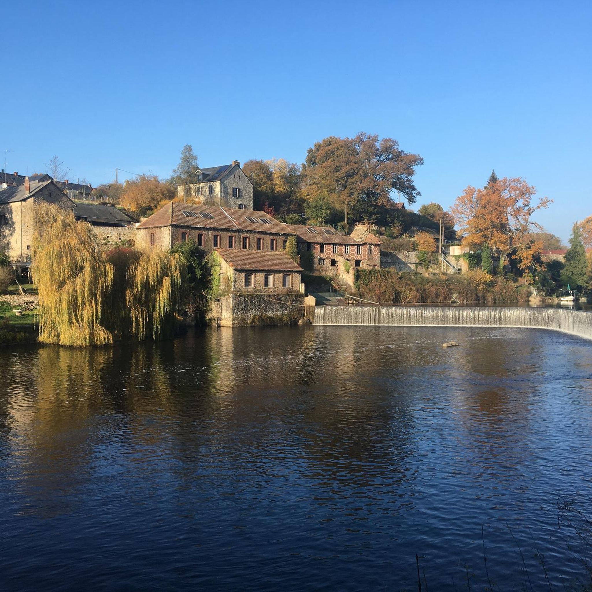
In 1399, the chaussée de Belle-Poule ensured the operation of a mill located on the right bank of the Mayenne. In 1834, a second mill was built on the left bank. The canalization of the Mayenne led to their destruction. A lock and new dam project was drawn up in 1847 by engineer Leblanc and then taken up in 1850 by engineer E. Caillaux. The works were completed in 1853 1399 sicherte die Chaussée de Belle-Poule den Betrieb einer Mühle am rechten Ufer der Mayenne. 1834 wurde am linken Ufer eine zweite Mühle gebaut. Die Kanalisierung der Mayenne führte zu ihrer Zerstörung. Ein Schleusen- und neues Dammprojekt wurde 1847 von Ingenieur Leblanc entworfen und 1850 von Ingenieur E. Cailaux in Angriff genommen. Die Arbeiten wurden 1853 abgeschlossen.
0
0
マルティニュ=シュル=マイエンヌでのの人気観光スポット

komootモバイルアプリでインスピレーションを得よう


さらに探索
他の地域の最高のハイキングを見てみましょう。
