アッシュバッハマルクトのおすすめウォーキング&ハイキングルート
4.6
(1664)
10,940
ハイカー
41
ハイキング
アッシュバッハマルクト 周辺でおすすめのハイキングやウォーキングを楽しんでいただけるように、このエリアの小径やルートを集めたkomootコレクション全体を見直しました。 以下で各ルートの詳細をご覧になり、アッシュバッハマルクト周辺の大自然を満喫する際の参考にしてください。
最終更新日: 10月 4, 2026
26
ハイカー
9.60km
02:30
60m
60m
中程度のハイキング. ある程度のフィットネスレベルが必要です。 進みやすいルートです。あらゆるスキルレベルに適しています。
4.7
(6)
33
ハイカー
初級者向けハイキング. あらゆるフィットネスレベルに適しています。 進みやすいルートです。あらゆるスキルレベルに適しています。

4.0
(1)
24
ハイカー
8.12km
02:08
70m
70m
中程度のハイキング. ある程度のフィットネスレベルが必要です。 進みやすいルートです。あらゆるスキルレベルに適しています。
4.7
(3)
17
ハイカー
8.87km
02:24
120m
120m
中程度のハイキング. ある程度のフィットネスレベルが必要です。 進みやすいルートです。あらゆるスキルレベルに適しています。
4.7
(3)
20
ハイカー
10.8km
02:52
120m
120m
中程度のハイキング. ある程度のフィットネスレベルが必要です。 進みやすいルートです。あらゆるスキルレベルに適しています。
さらに多くのルートや他のユーザーのおすすめ情報を確認できます。
すでにアカウントをお持ちですか?
おすすめのツアーは他のkomootユーザーが実際に経験した何千ものアクティビティに基づいています。
無料アカウントで今日から始めよう
次の冒険が待っています。

コミュニティからのヒント

If you don't want to stop at the inn, you can find refreshment here on your hike.
0
0
For such a large circular hiking trail, this starting point is somewhat unspectacular.
1
0
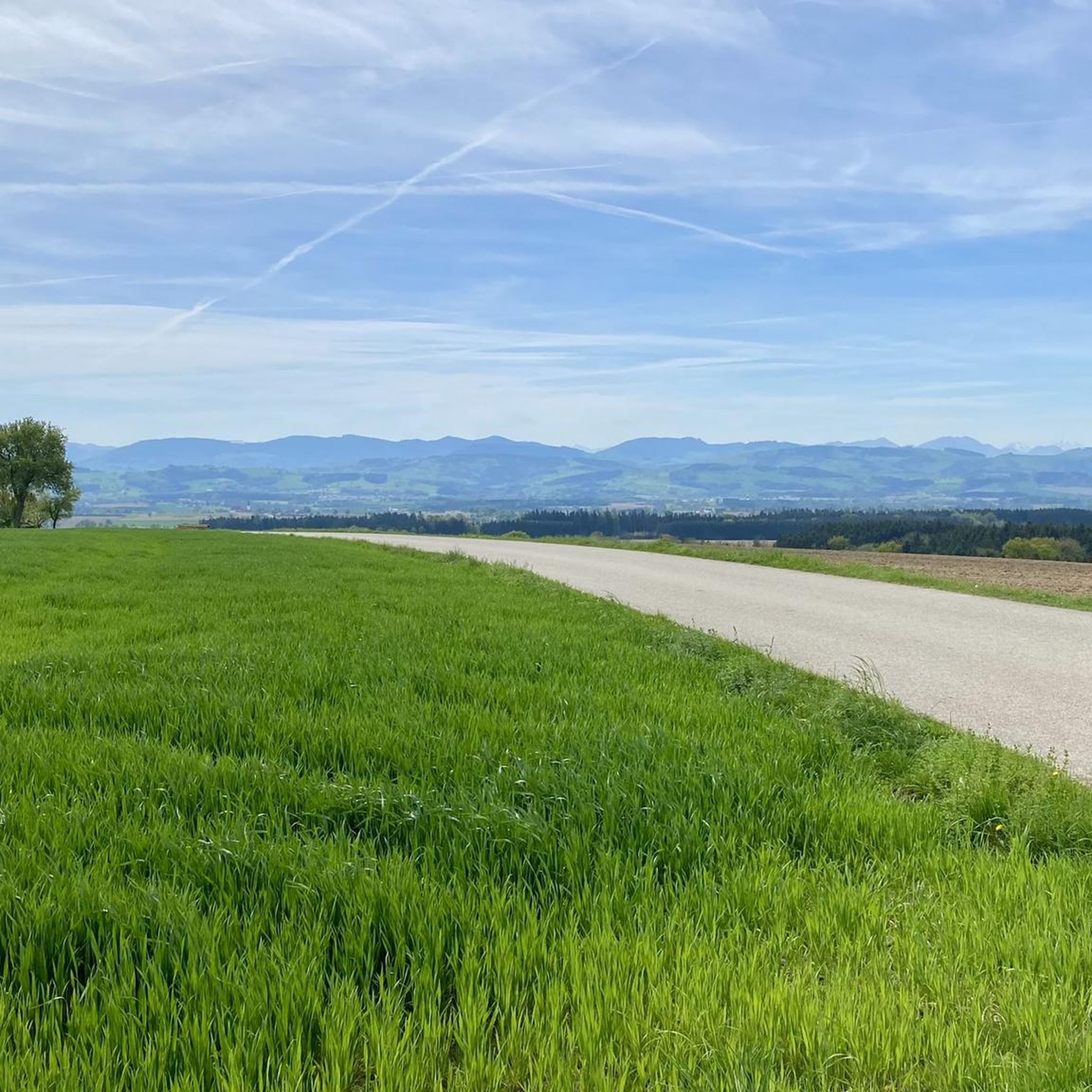
A rest in this beautifully designed spot on this beautiful country lane is a real pleasure!
0
0

Regional produce from farmers or local businesses. Hikers and cyclists will find refreshments here. https://www.inthebox21.at/
6
0
Regionality and quality are paramount here. The Viekanthof's kitchen uses produce from the Mostviertel region. https://www.landgasthaus-berndl.at/
6
0
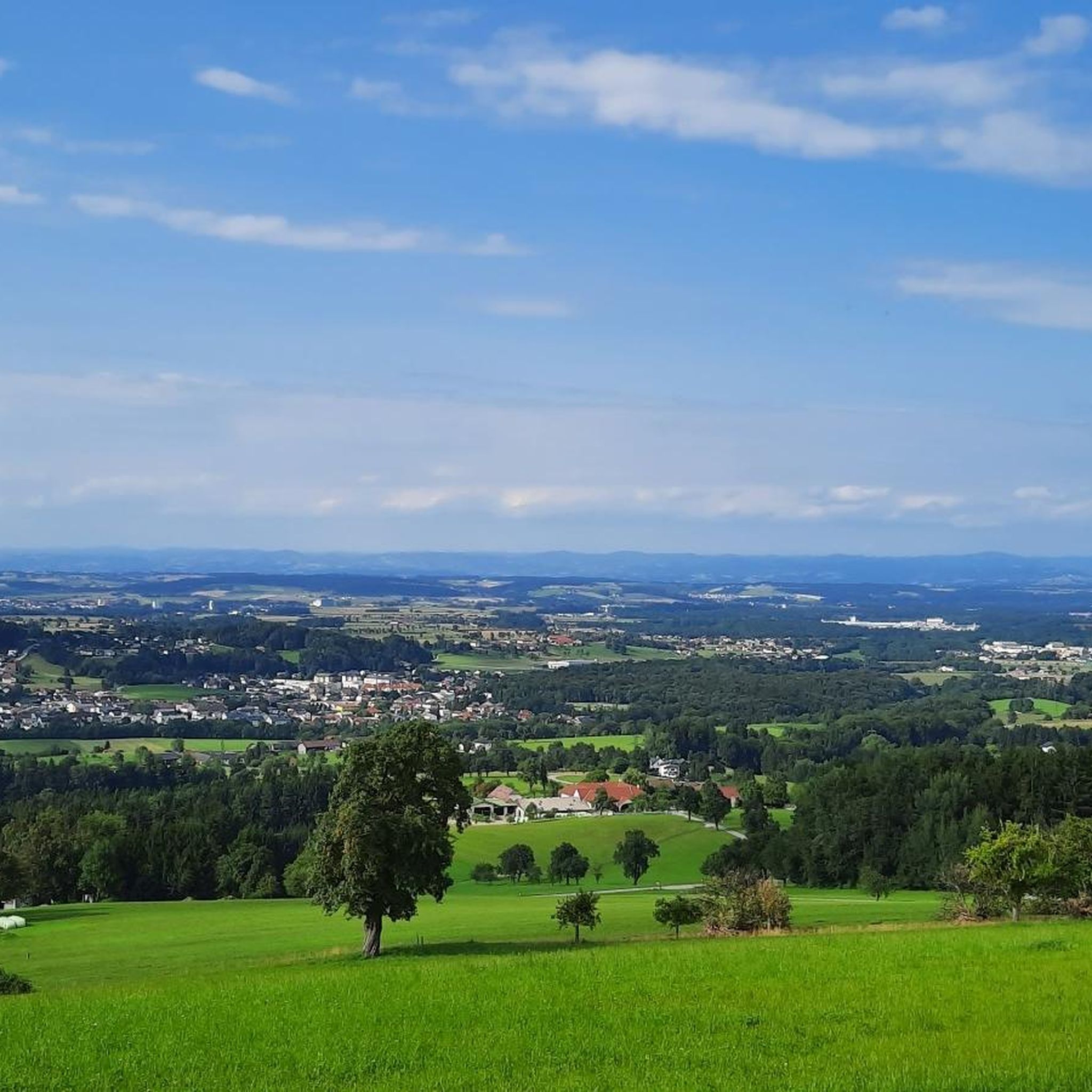
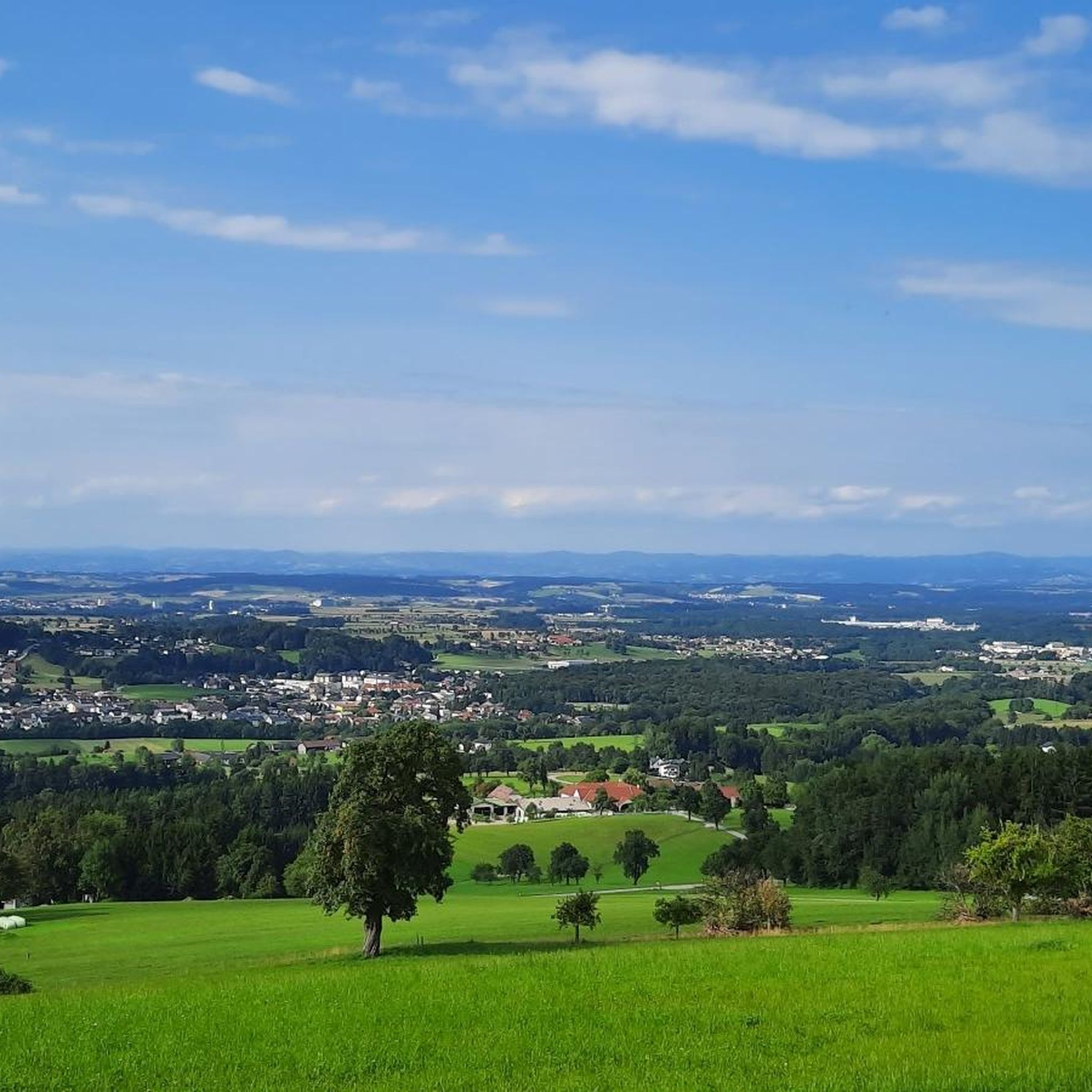
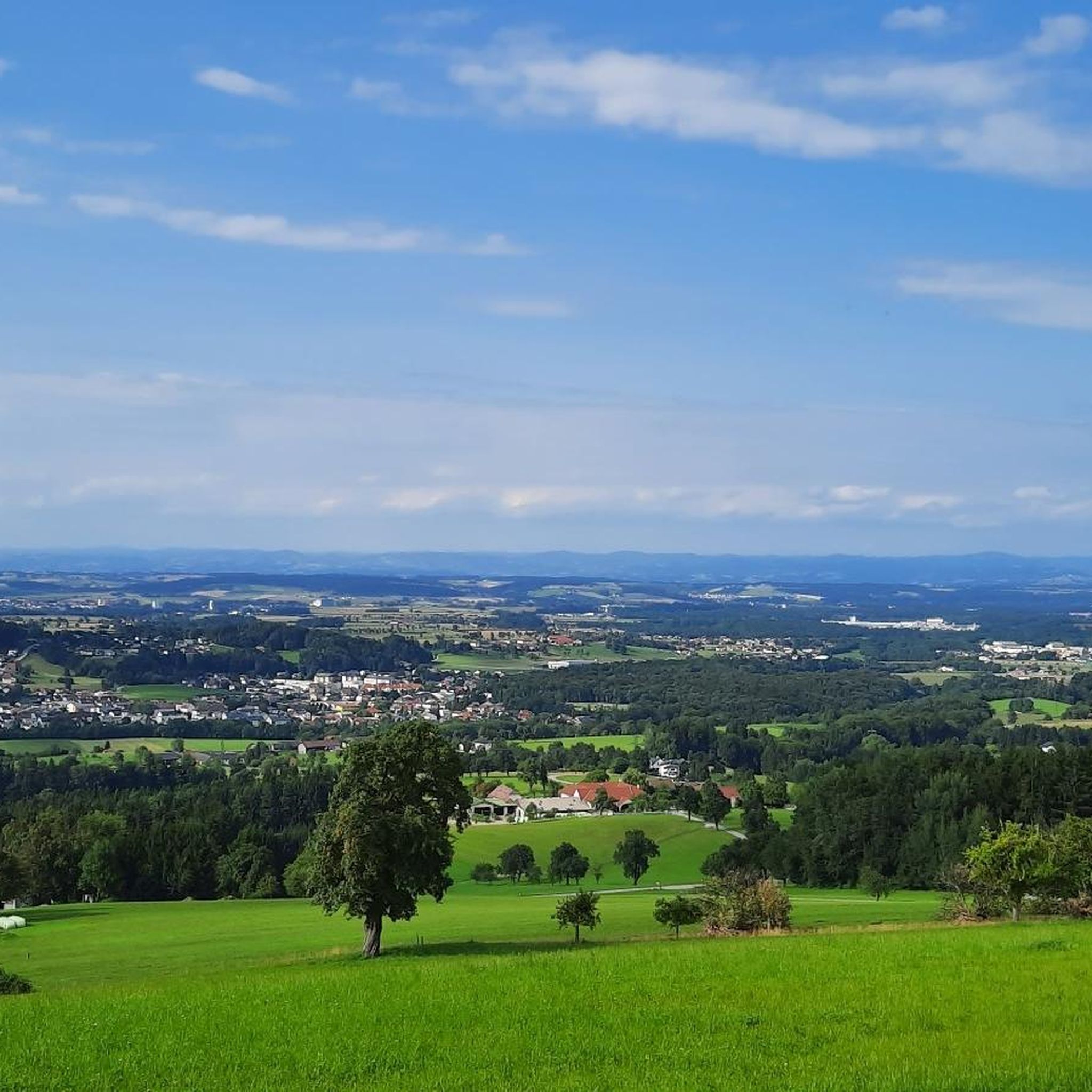
Here, in this row of fruit trees, there is a lovingly designed and shady place to take a break and enjoy the incredibly beautiful panorama, despite the relatively flat area.
6
0
The "Heart of the Mostviertel Circular Trail" is a 110-kilometer long long-distance hiking trail that leads through the seven municipalities of the "Heart of the Mostviertel" small region in eight stages. The trail winds through orchards and past square farms, offering a variety of opportunities to enjoy the landscape and regional specialties. It is also easy to reach by public transport, as the starting point is directly at Aschbach train station. Key data: Length: Over 110 kilometers. Stages: 8 stages. Municipalities: The trail leads through the seven municipalities of the "Heart of the Mostviertel" small region. Themes: Landscape, panoramic views, regional specialties, cider culture, and the history of the Mostviertel. Special features: Distinctive "heart pears" as signposts, informative stations, and regional furniture. Route: The trail follows existing hiking trails and leads through orchards and past square farms. Highlights: Scenic Beauty: The circular hiking trail offers numerous sections with expansive panoramas, especially at the "warmly" designed viewing and rest areas. Regional Specialties: Along the trail, cider taverns and inns invite you to enjoy cider and regional delicacies. Cultural Features: You'll learn interesting facts about the cider pear and the history of the region. Hiking Experience: The circular hiking trail is designed to make it easy for hikers and guests to find their way around and experience the diverse regional traditions. Additional Information: A free hiking map and a freely available GPX track are available for orientation. The consistent hiking trail signage with the "heart pears" helps with orientation. The trail is a project of the "Heart of the Mostviertel" micro-region and was realized with the support of the Lower Austrian Landscape Fund.
7
1
アッシュバッハマルクトでのの人気観光スポット

komootモバイルアプリでインスピレーションを得よう


さらに探索
他の地域の最高のハイキングを見てみましょう。
