アーカンソーのおすすめツーリングルート
4.7
(145)
3,999
ライダー
233
ライド
アーカンソーでサイクリングを楽しめば、アメリカ合衆国のこのエリアをより深く知ることができます。あなたにぴったりのアーカンソーでのバイクライドが見つかるように、komootがサイクリングルートのコレクション全体を評価して選び抜いたルートをご紹介します。以下のルートをクリックして標高データや舗装状態の分析などの細かな情報を把握し、さらにkomootコミュニティのメンバーがアップロードした役立つ情報や写真も閲覧しましょう。
最終更新日: 9月 14, 2026
1
ライダー
32.9km
02:53
820m
190m
難しい自転車ライド. 標準以上のフィットネスレベルが必要です。 全般的に舗装された状態です。あらゆるスキルレベルに適しています。
16.9km
01:00
60m
60m
初級者向けバイクライド. あらゆるフィットネスレベルに適しています。 全般的に舗装された状態です。あらゆるスキルレベルに適しています。

5.0
(2)
210
ライダー
27.4km
01:51
210m
210m
難しい自転車ライド. ある程度のフィットネスレベルが必要です。 ツアーの一部で自転車を押して歩く必要があるかもしれません。
5.0
(1)
98
ライダー
73.2km
04:19
400m
400m
中程度の自転車ライド. ある程度のフィットネスレベルが必要です。 全般的に舗装された状態です。あらゆるスキルレベルに適しています。
5.0
(7)
82
ライダー
32.9km
01:54
140m
140m
初級者向けバイクライド. あらゆるフィットネスレベルに適しています。 全般的に舗装された状態です。あらゆるスキルレベルに適しています。
5.0
(8)
83
ライダー
中程度の自転車ライド. ある程度のフィットネスレベルが必要です。 全般的に舗装された状態です。あらゆるスキルレベルに適しています。
86
ライダー
19.7km
01:57
240m
240m
中程度の自転車ライド. ある程度のフィットネスレベルが必要です。 全般的に舗装された状態です。あらゆるスキルレベルに適しています。
5.0
(2)
72
ライダー
中程度の自転車ライド. ある程度のフィットネスレベルが必要です。 全般的に舗装された状態です。あらゆるスキルレベルに適しています。
74
ライダー
11.5km
00:52
110m
110m
難しい自転車ライド. あらゆるフィットネスレベルに適しています。 ツアーの一部で自転車を押して歩く必要があるかもしれません。
4.9
(8)
68
ライダー
35.8km
02:06
220m
220m
中程度の自転車ライド. ある程度のフィットネスレベルが必要です。 全般的に舗装された状態です。あらゆるスキルレベルに適しています。
さらに多くのルートや他のユーザーのおすすめ情報を確認できます。
すでにアカウントをお持ちですか?
おすすめのツアーは他のkomootユーザーが実際に経験した何千ものアクティビティに基づいています。
無料アカウントで今日から始めよう
次の冒険が待っています。
アーカンソー周辺で人気
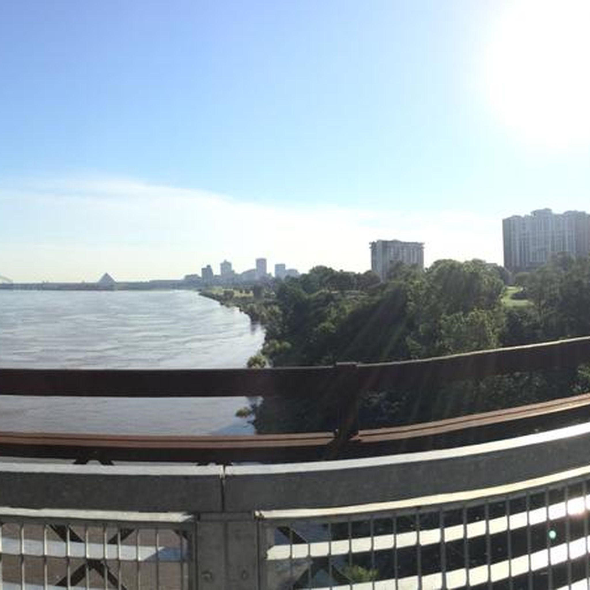
クリッテンデン郡でのサイクリング
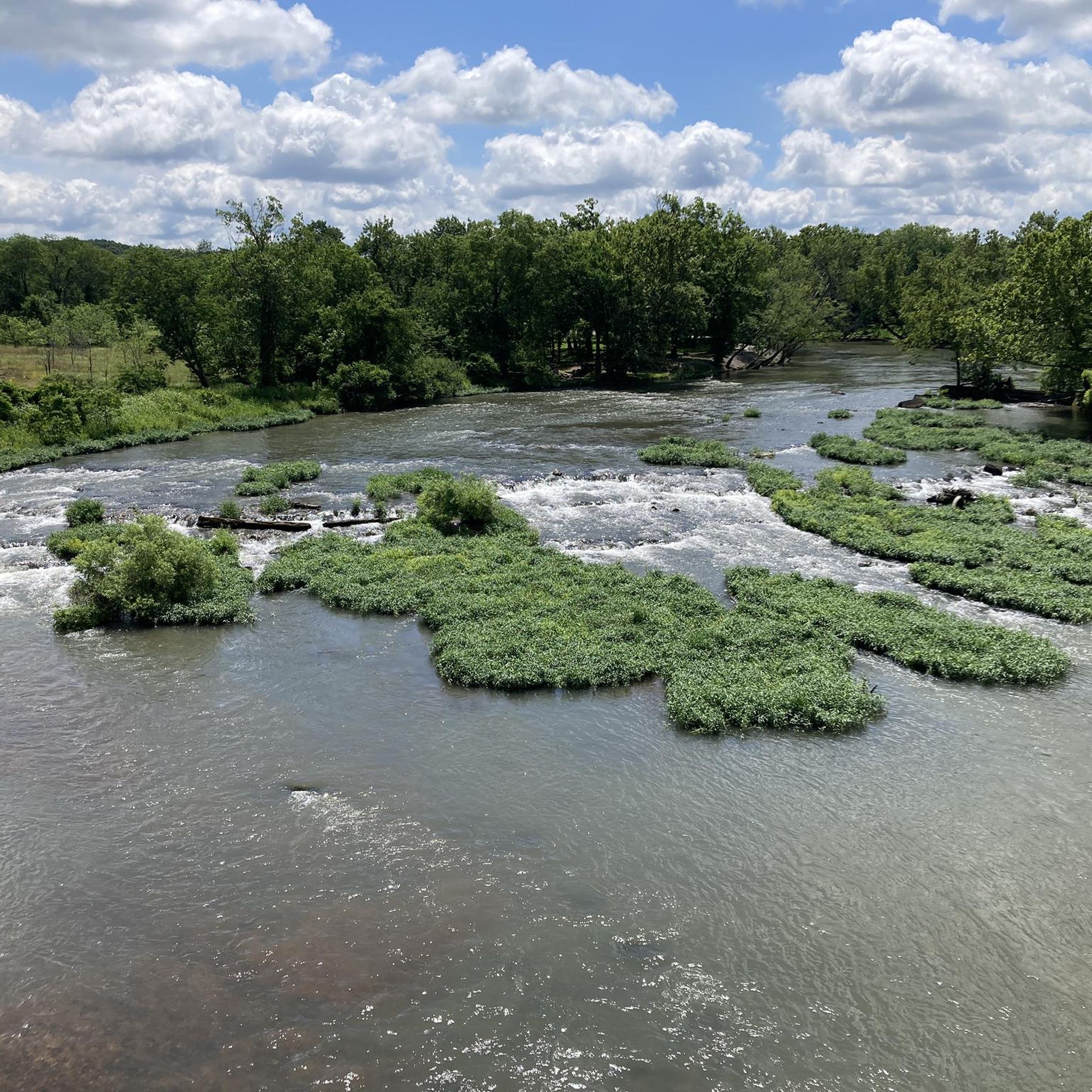
ベントン郡でのサイクリング
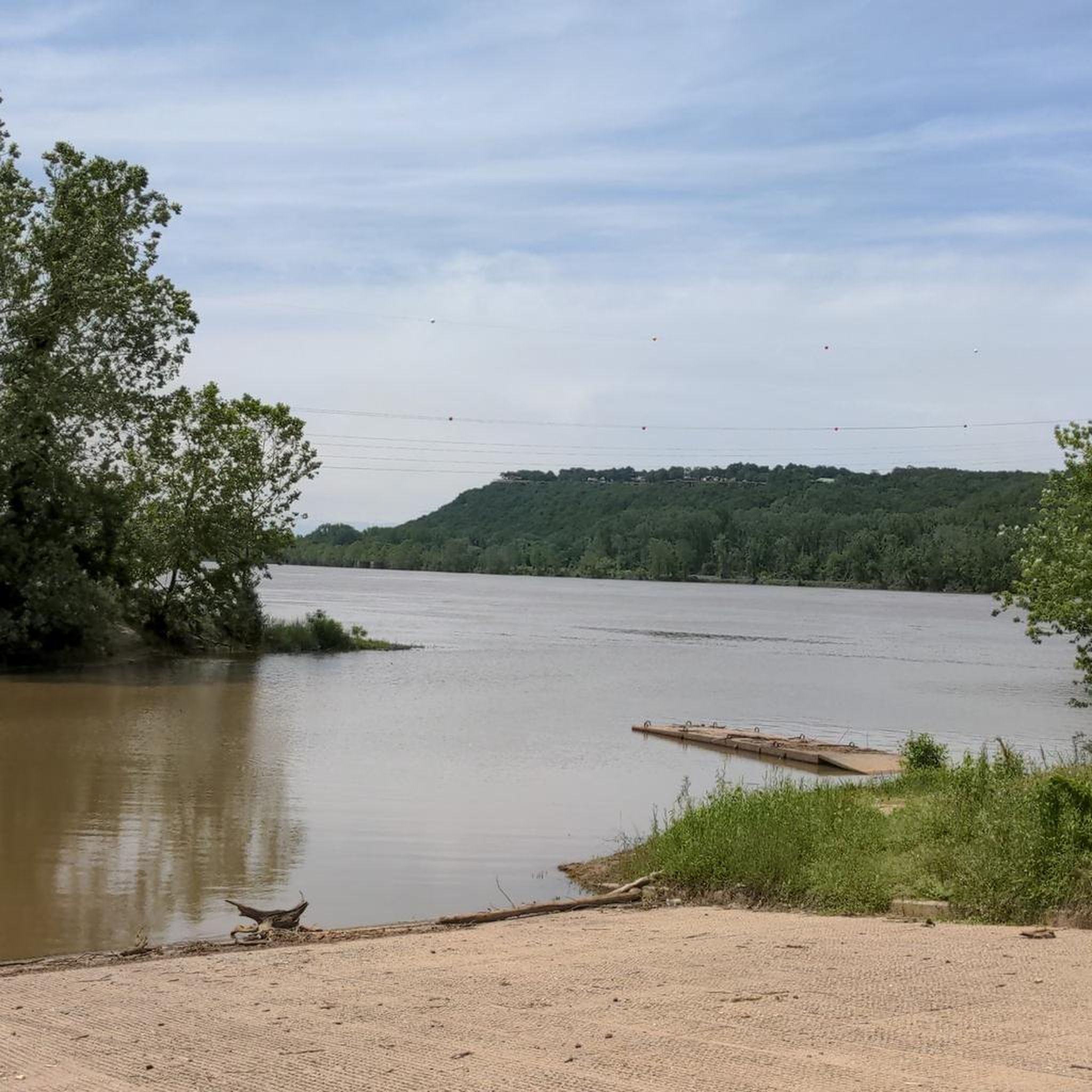
ワシントン郡でのサイクリング
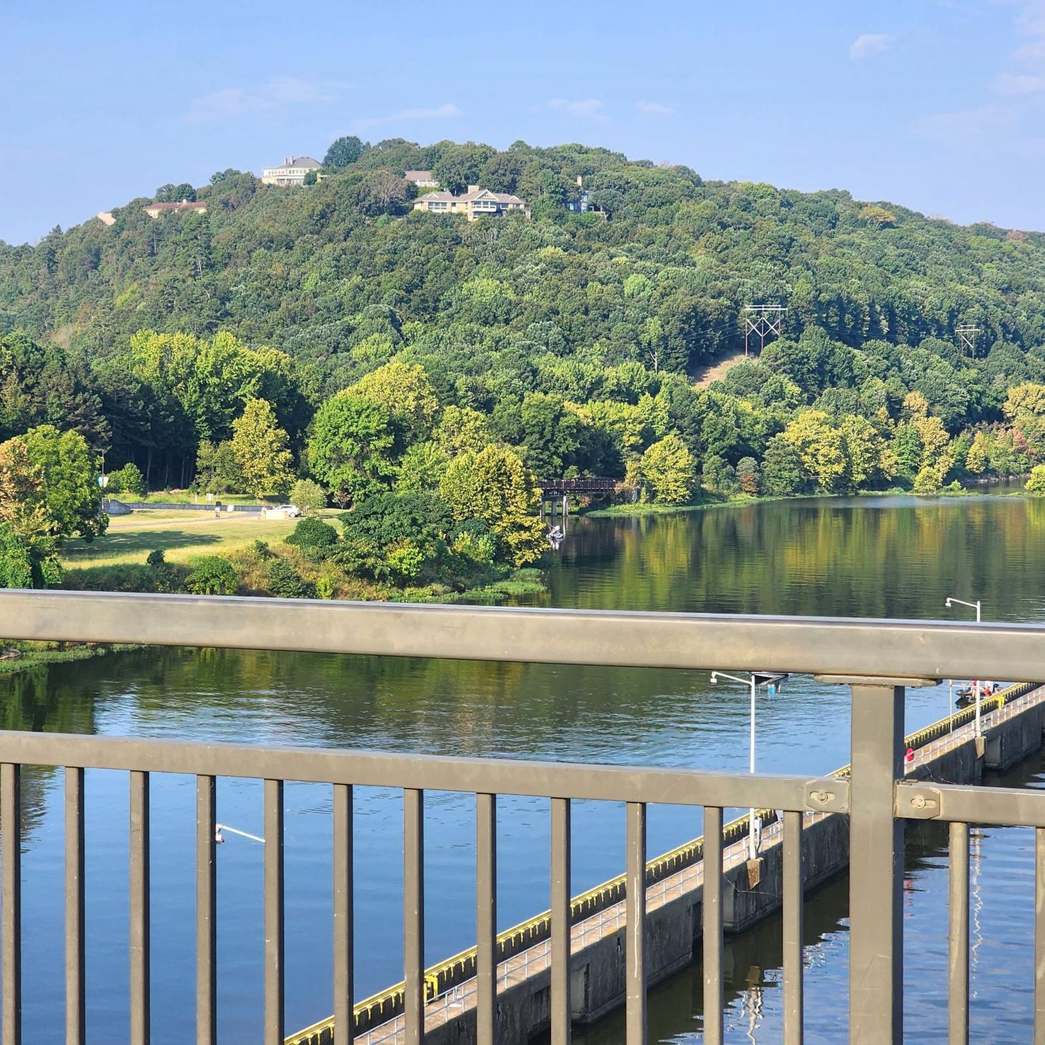
Pulaski Countyでのサイクリング

フォークナー郡でのサイクリング
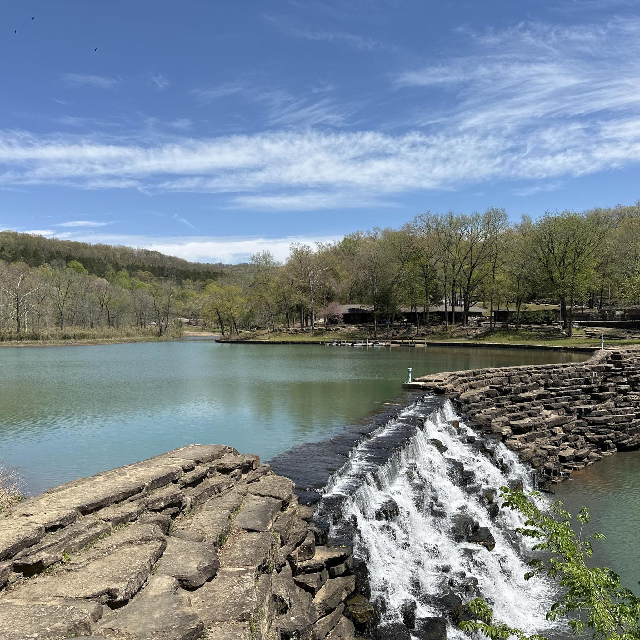
Ozark-St. Francis National Forestでのサイクリング
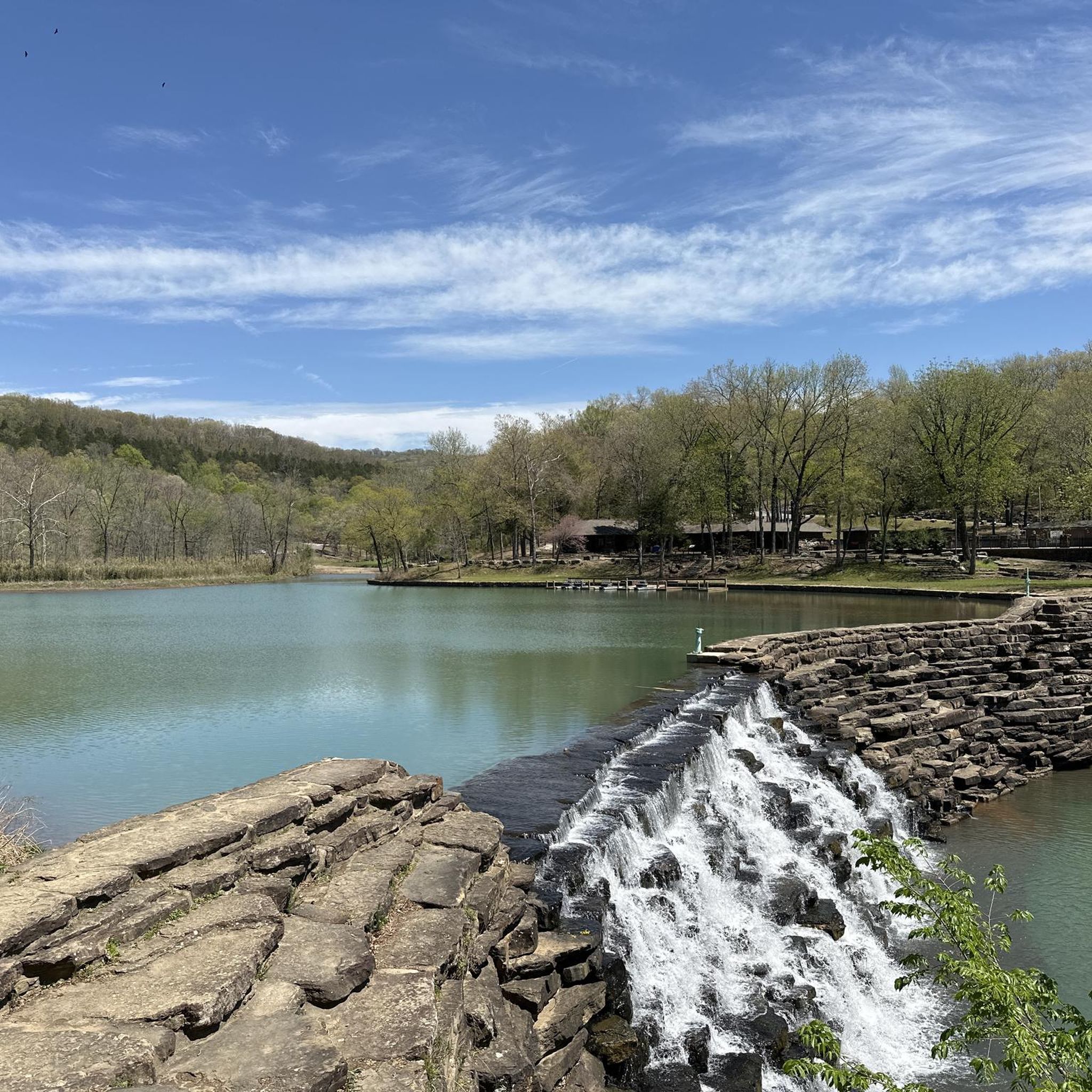
マディソン郡でのサイクリング
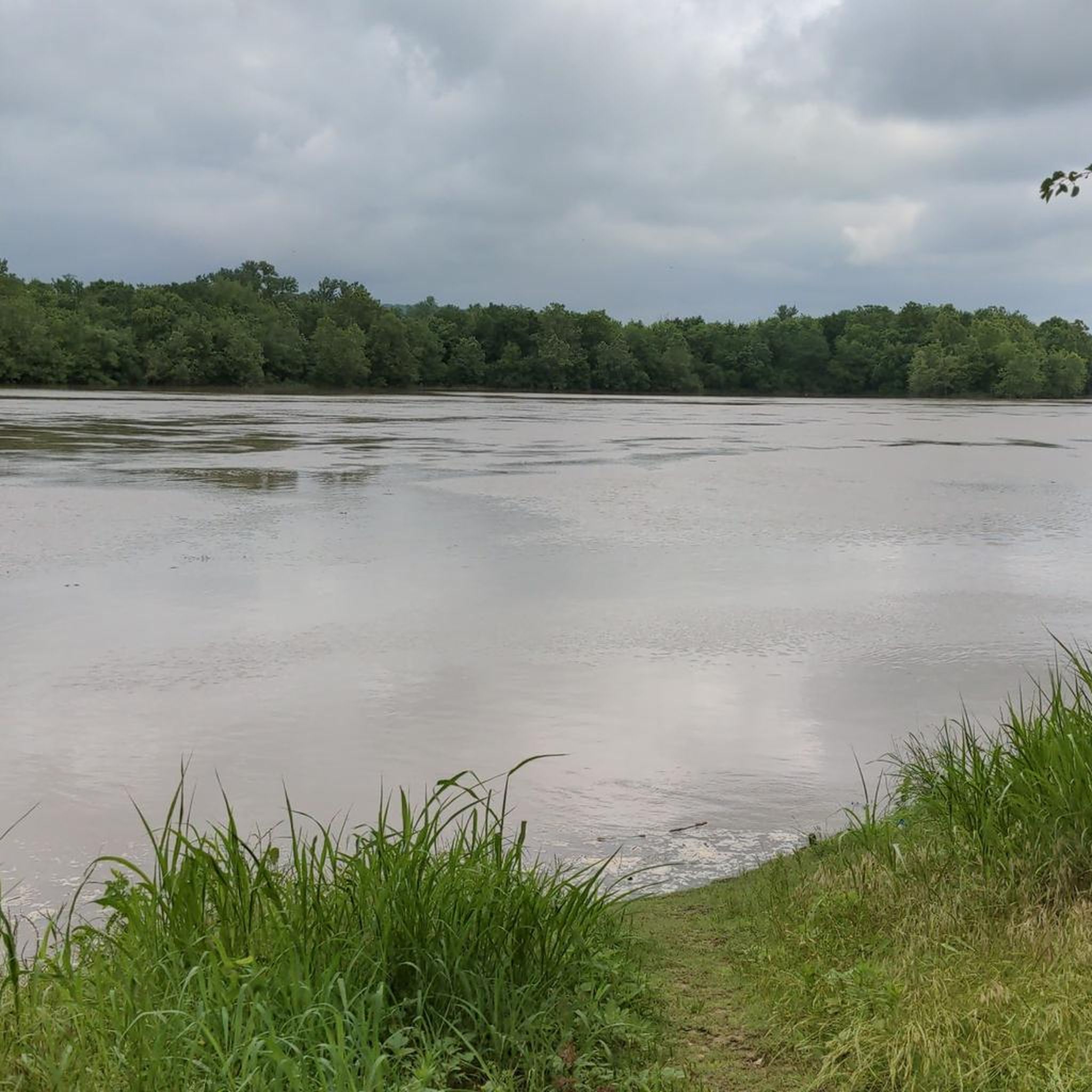
Ouachita National Forestでのサイクリング
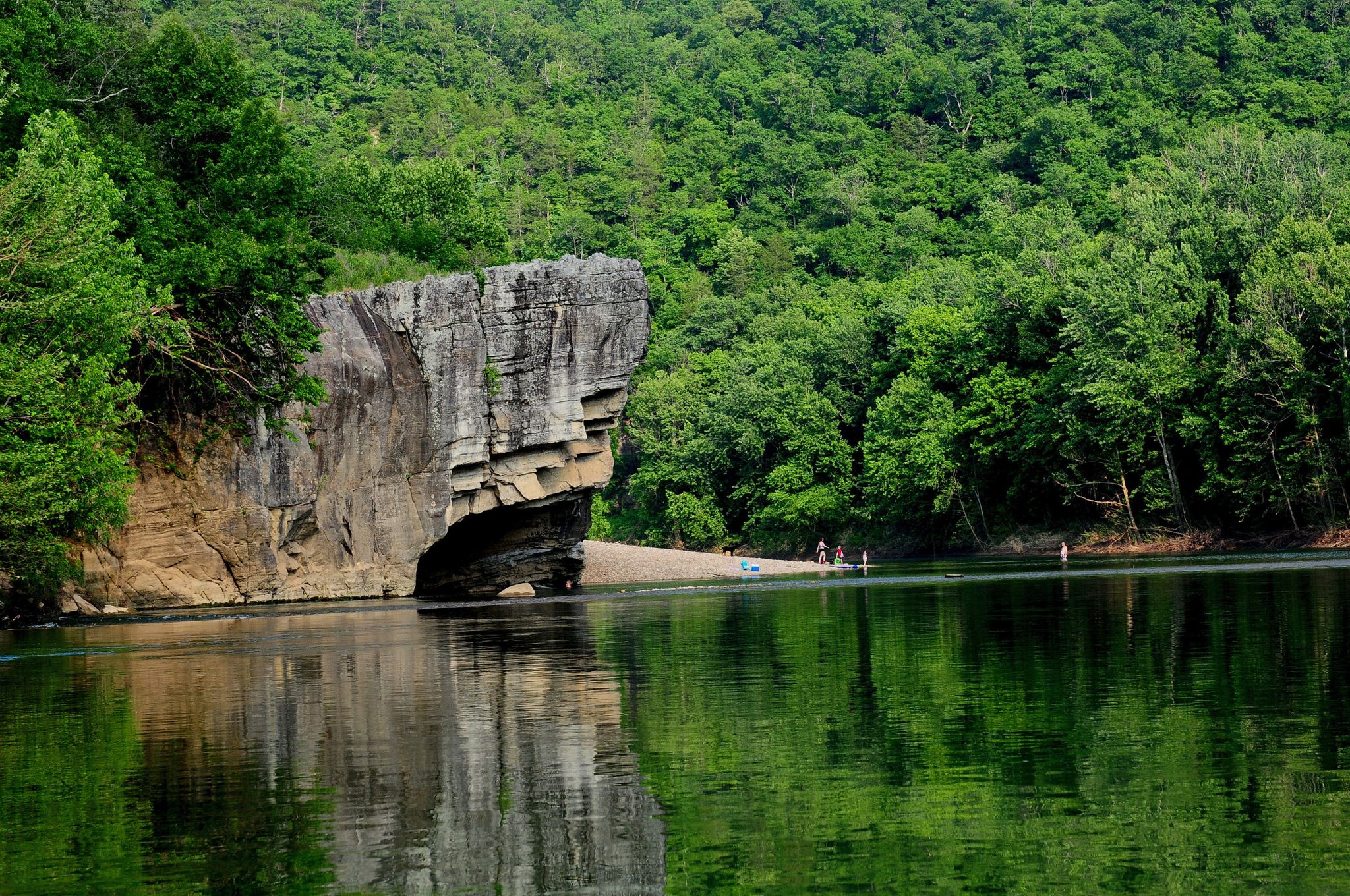
Ozark Highlands Trail: Falling Water Creek Trailhead to Dillard's Ferry — バッファロー川沿いのHiking
Ozark Highlands Trail — 200マイルのBackcountry Beauty
アーカンソーでのの他の冒険

コミュニティからのヒント

これは、私たちの素晴らしい州立公園にあるアーカンソー州のモニュメントトレイルの1つである、素晴らしいブルーのトレイルです!このトレイルのほとんどはグリーンレベルだと考えられます。短いブルーのセクションでは、必要に応じて自転車から降りてください。楽しい!
0
0

It was fun the ride through and see the new Walmart Headquarters Campus.
0
0

A fun, easy trail for introducing the whole family to mountain biking. There are some more advanced features that you can easily detour/skip around.
0
0

The Two Rivers Park Bridge is a modern design combining concrete and steel, creating a sturdy and attractive structure. The bridge has a considerable length, allowing pedestrians and cyclists to easily move between the two banks of the river. https://spacewaves.io
0
0

Great place to people watch and it's all lit up right now for Christmas
0
0
The Arkansas River Trail is pretty much the perfect bike trail, although active efforts are underway to make it even better and more accessible to all users. In the meantime, though, it remains part of a more than 80-mile loop that traverses both banks of the Arkansas River, including a couple of lovely pedestrian bridges and access to walkable parts of downtown.
0
0

Big Dam Bridge was Originally planned to be called the Murray Bridge, but that name did not stick. The bridge streches over the Arkansas River and Murray Lock and Dam, connecting Little Rock and North Little Rock. Open exclusively to pedestrians and cyclists, it spans 4,226 feet, making it the longest pedestrian/bicycle bridge in North America never used by trains or vehicles. Rising up 90 feet above the river, the bridge gives great views and connects Murray Park to Cook's Landing Park. Opened in 2006, it cost about $12.8 million to build and hosts popular races, earning awards for its design and contribution to the community's health and economy.
0
0

This small park is located on the banks of the Mississippi River and was created in remembrance of those involved in the Yellow Fever Epidemic of 1878. The park connects to a paved path that follows the Mississippi River Trail bike route and connects to some of the nearby parks to the north.
0
0

komootモバイルアプリでインスピレーションを得よう


探していたものは見つかりませんでしたか?
アーカンソーの下にある他のサイクリングルートをチェックして、目的地で完璧なルートを見つけましょう。
さらに探索
他の地域の最高のサイクリングルートを見てみましょう。
