アーカンソーの天然記念物・トップ20
アーカンソーが誇る美しい風景を見てみたいなら、アーカンソーの素晴らしい天然記念物・トップ20
に行ってみましょう。あなたにぴったりの場所が見つかるよう、素晴らしい天然記念物を探索するために必要なすべての情報を集めました。次のアウトドアの冒険に出かける計画の参考にしましょう。
最終更新日: 8月 19, 2026
タニヤード・クリーク滝
ハイライト • 滝
役立つ情報 は

ホットスプリングス国立公園歴史的浴場散策路
ハイライト • 歴史的な場所
役立つ情報 は

今すぐサインアップして、こんな場所を発見しよう
最高のシングルトラック、ピーク、その他のエキサイティングなアウトドアスポットのおすすめを受け取ろう。
無料新規登録
温泉の滝
ハイライト • 滝
役立つ情報 は

ゴートロック展望台
ハイライト • 展望台
役立つ情報 は
ピーレッジ国立軍事公園の大砲
ハイライト • 歴史的な場所
役立つ情報 は

ホワイトクリフス自然地域
ハイライト • 自然記念物
役立つ情報 は
オーアチタ国有林
ハイライト • 森
役立つ情報 は

ロックハウス・ケーブ
ハイライト • 洞窟
役立つ情報 は
セブン・ホロウズ・トレイル ナチュラル・ストーン・アーチ
ハイライト (セグメント) • 自然記念物
役立つ情報 は
レイクトレイル・ダムの滝(デビルズデン州立公園)
ハイライト • 滝
役立つ情報 は
無料でサインアップして、さらに多くの自然記念物を発見しましょう アーカンソーでの。
無料新規登録
すでにアカウントをお持ちですか?
無料アカウントで今日から始めよう
次の冒険が待っています。
ログインまたは登録
アーカンソー周辺で人気
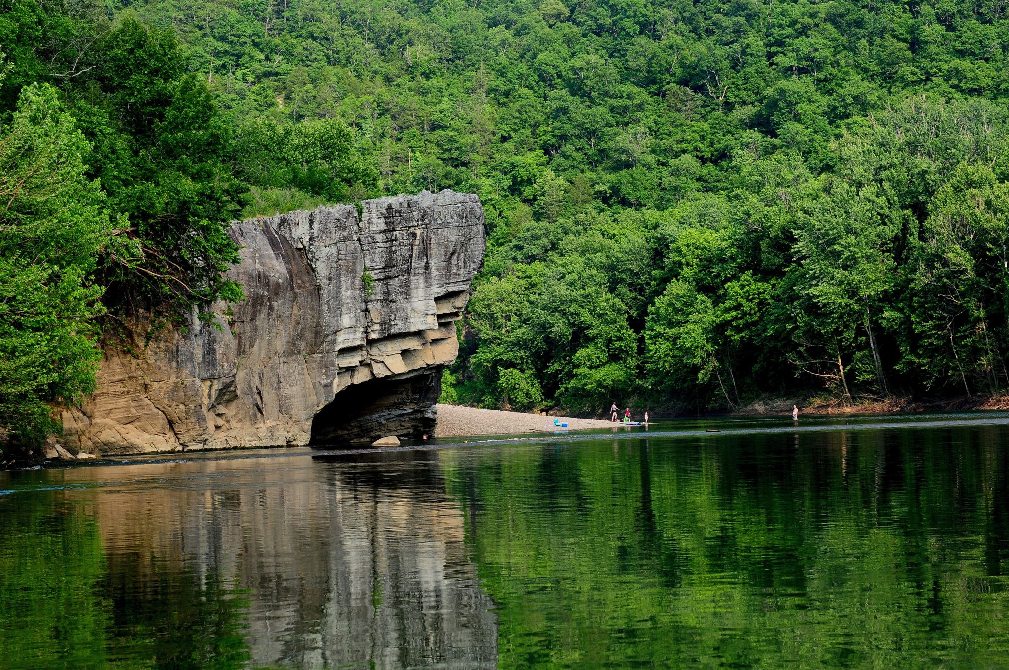
Ozark Highlands Trail: Falling Water Creek Trailhead to Dillard's Ferry — バッファロー川沿いのHiking
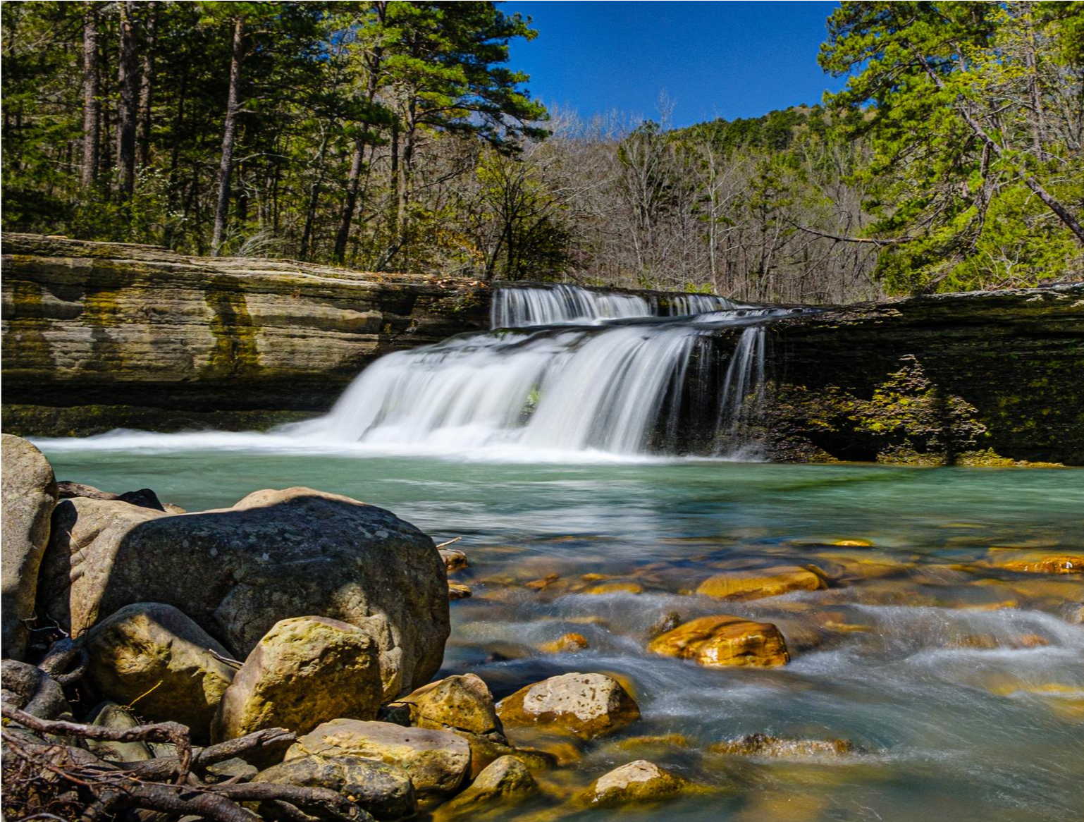
Ozark Highlands Trail — 200マイルのBackcountry Beauty
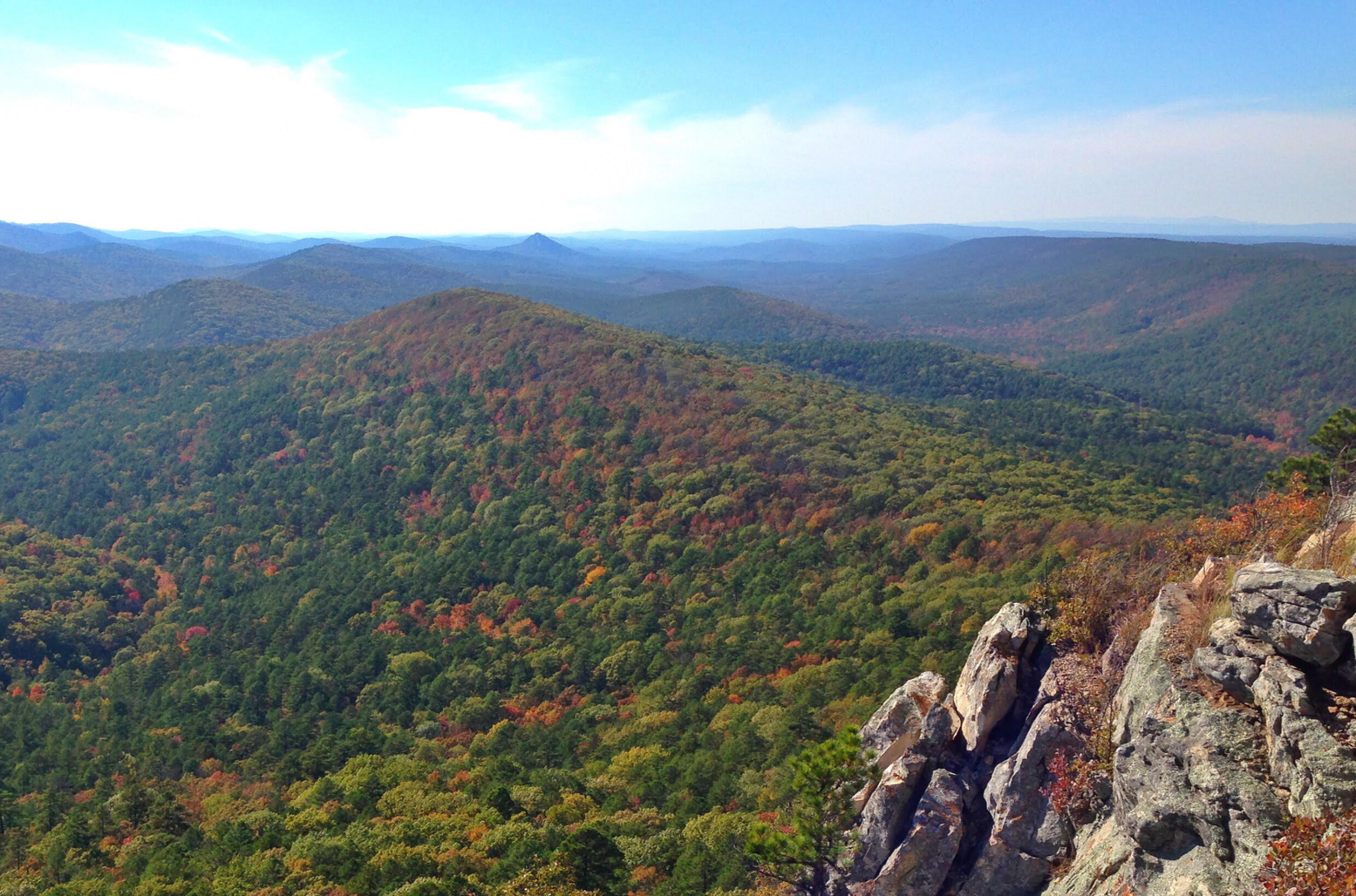
Ouachita National Recreation Trail — Backcountry bliss
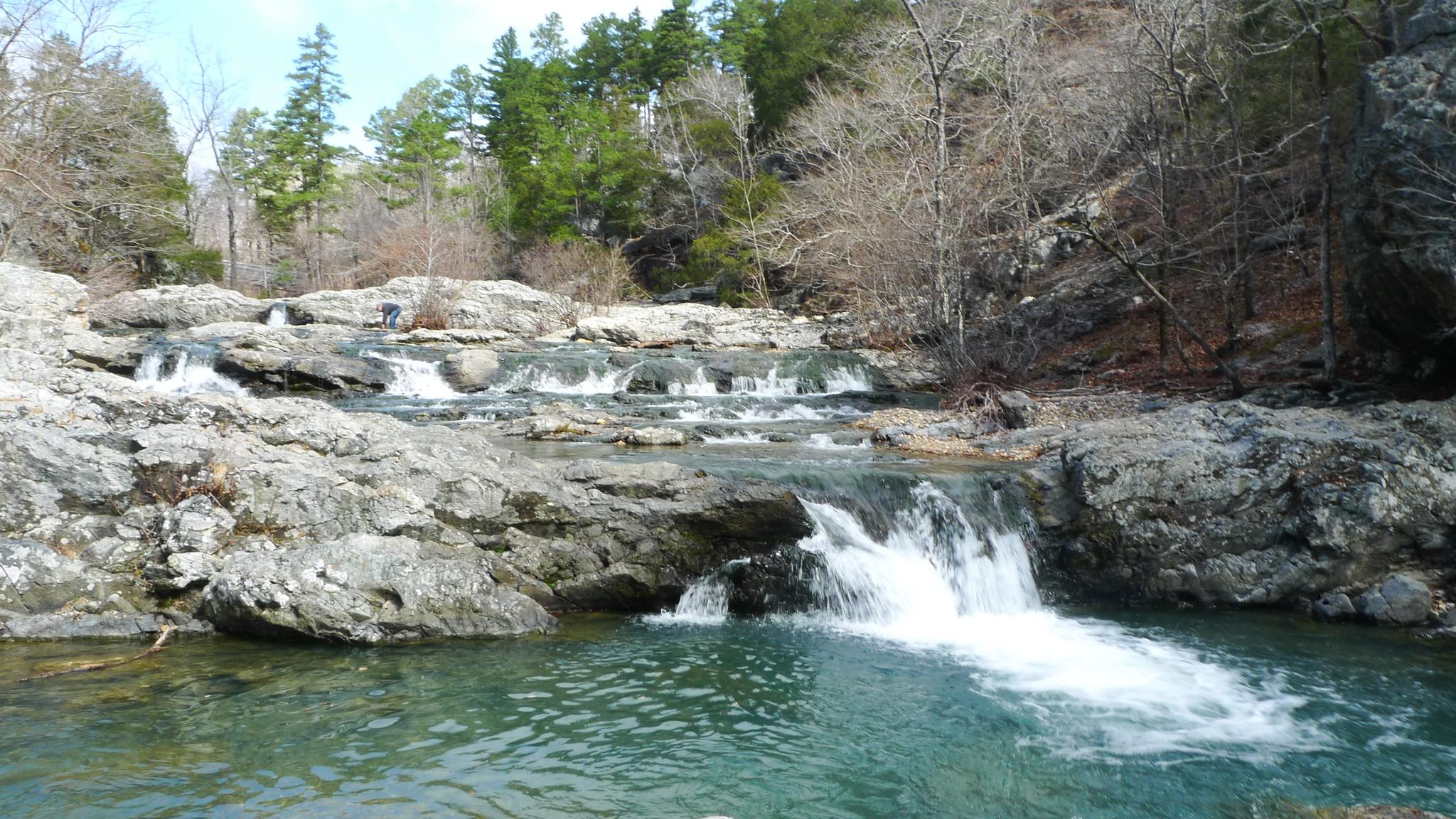
イーグル・ロック・ループ - 3日間の壮大な原生地域ハイキング
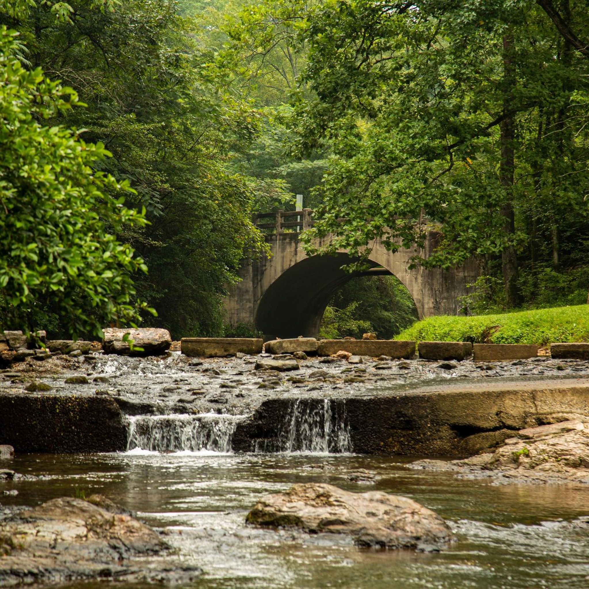
アーカンソーでのハイキング
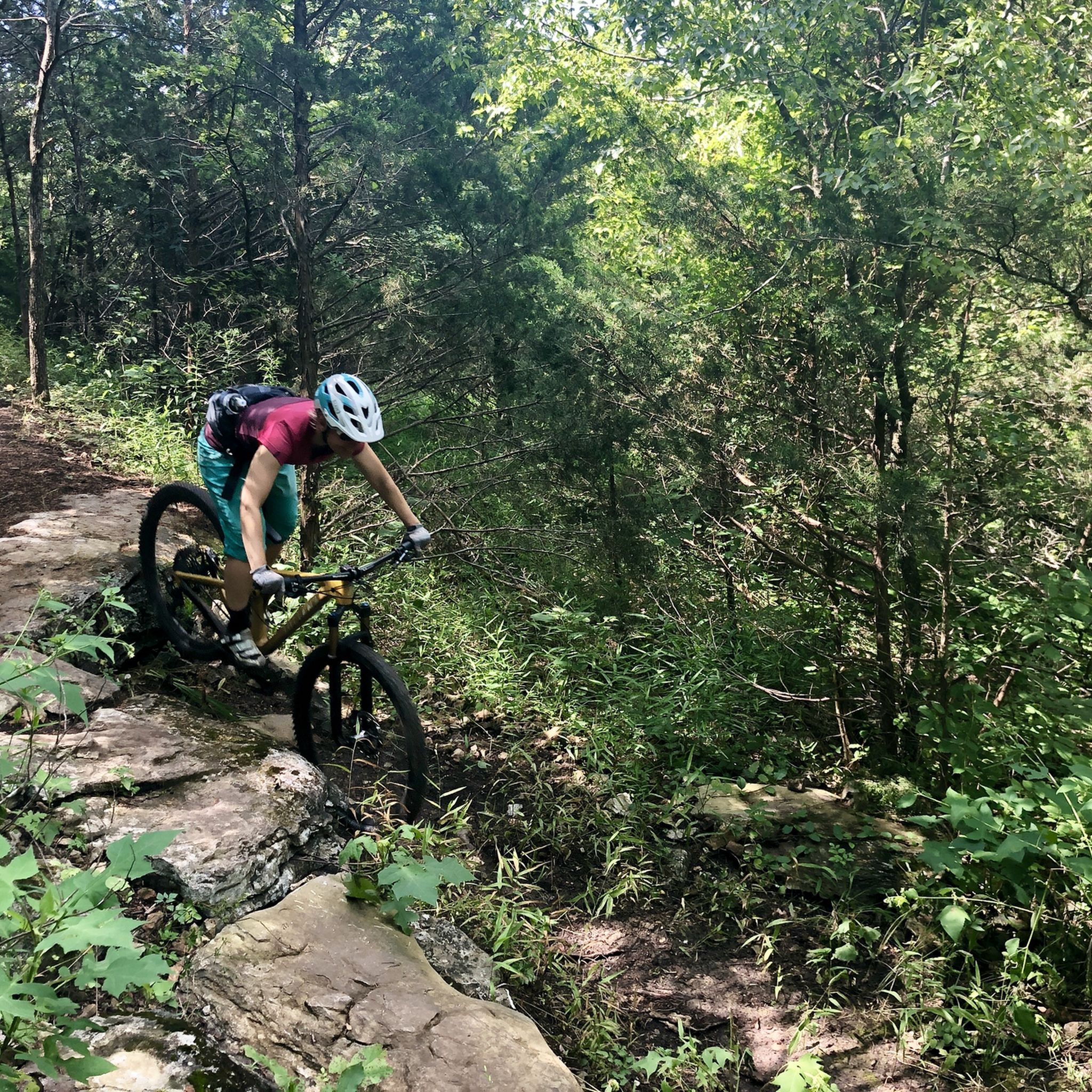
アーカンソーのMTBトレイル
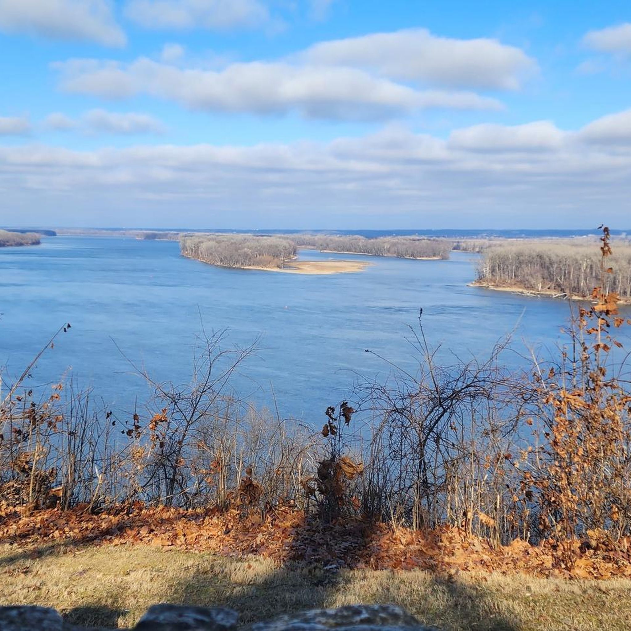
アーカンソーでのサイクリング
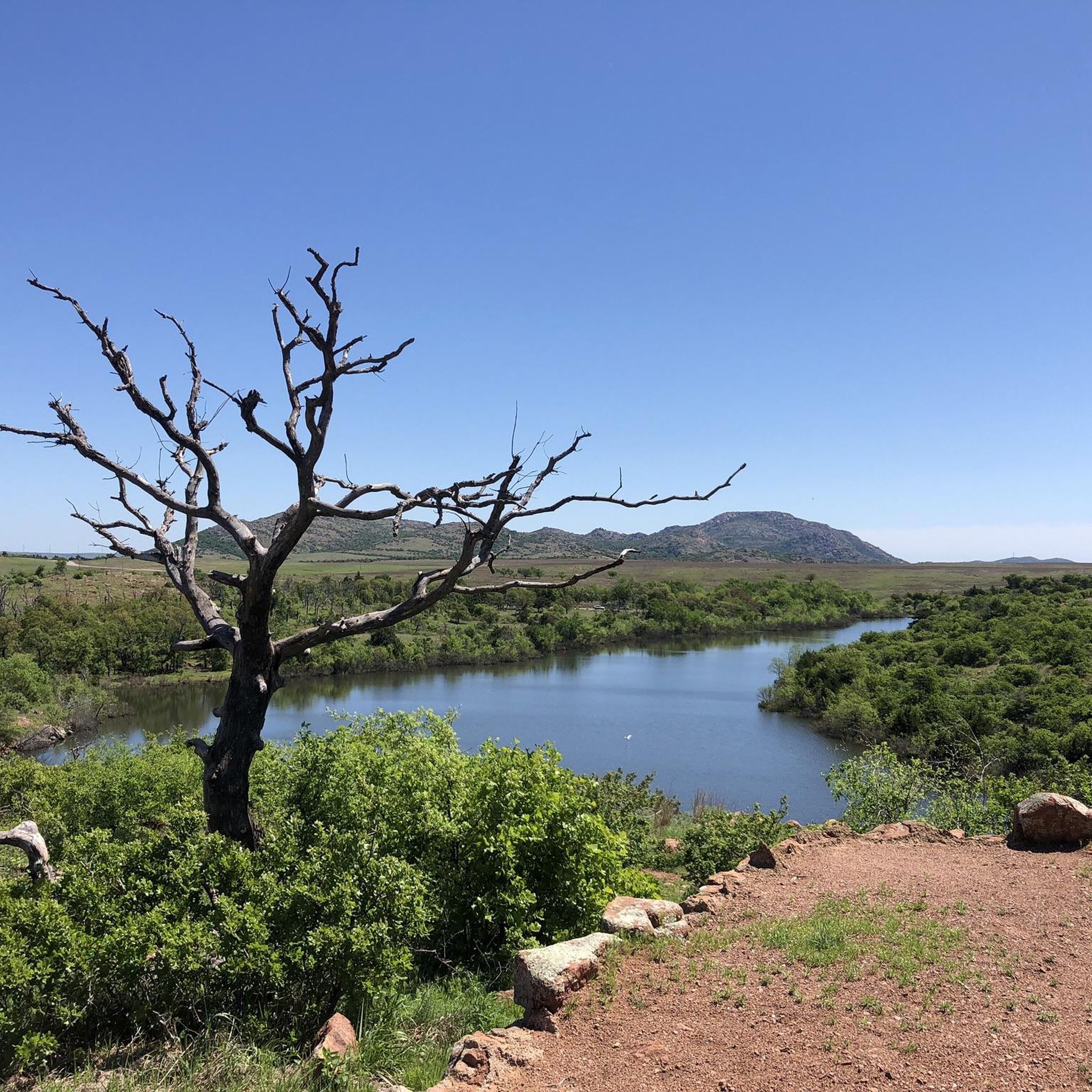
アーカンソーのランニングコース
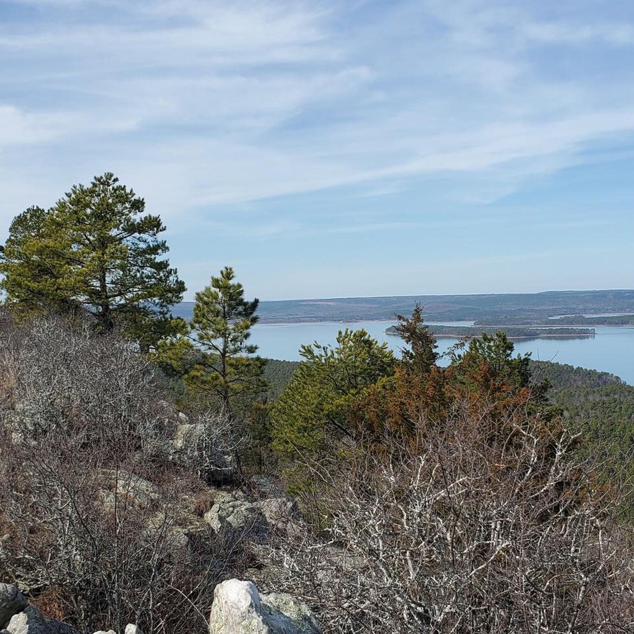
アーカンソーのロードバイクルート
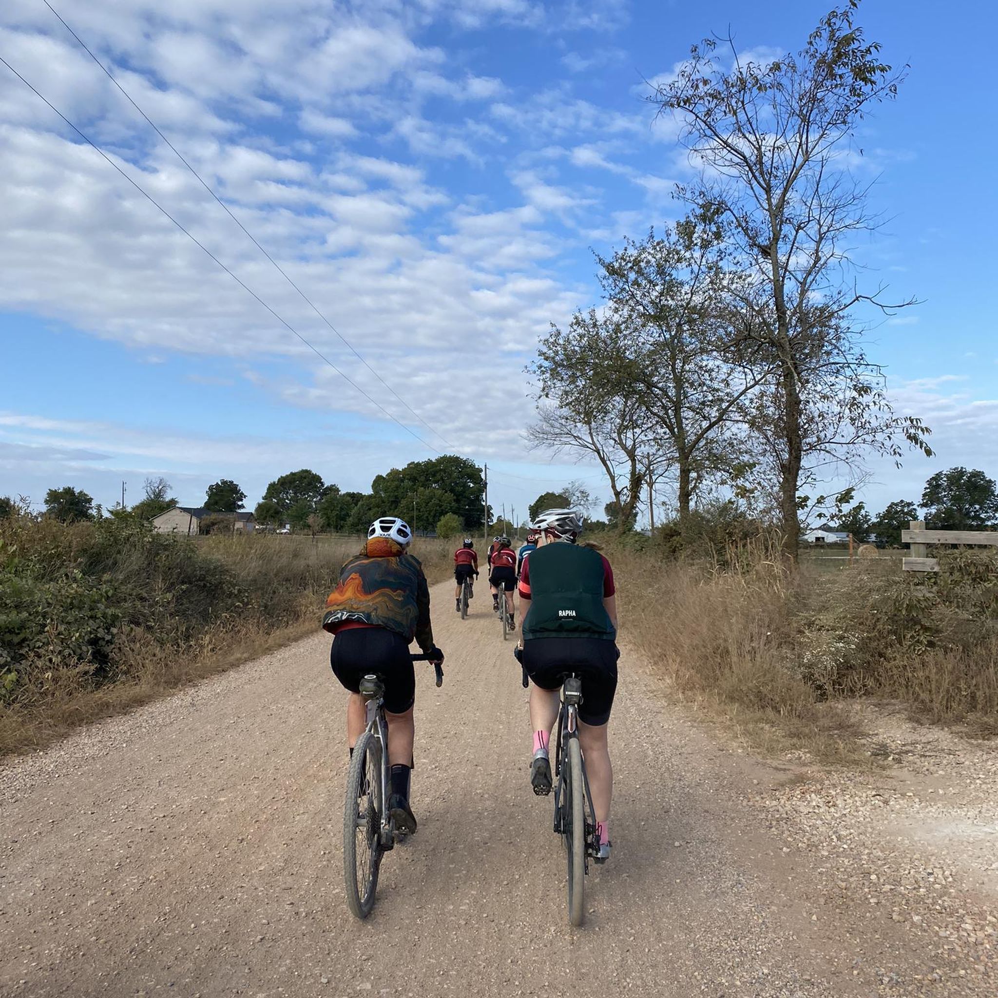
アーカンソーでののグラベルライド
アーカンソーでのの他の冒険

コミュニティからのヒント

The Hot Springs National Park Historic Baths Walk takes you past the iconic bathhouses that made this area famous. Running along Bathhouse Row, the paved route winds through the heart of downtown Hot Springs, where you’ll see early 20th-century buildings like the Fordyce, Buckstaff, and Quapaw, each with its own story in the park’s long spa tradition. Interpretive signs and restored architecture offer a glimpse into the era when this was a major health destination. It’s a short, accessible walk and you can still step inside for a soak, just as visitors did a century ago.
1
0

The Ouachita National Forest, established by President Theodore Roosevelt in 1907 and initially named the Arkansas National Forest, covers an impressive 1.8 million acres in central Arkansas and southeastern Oklahoma. It is the oldest and largest National Forest in the Southern Region. The forest features a diverse mix of pine and hickory trees with over 700 miles of trails for hiking, mountain biking, and horseback riding. There are multiple developed recreation areas, scenic vistas, shooting ranges, historical sites, wilderness areas, and one national recreation area within the forest. Most of the developed recreation areas are open from April to September, although some sites remain accessible year-round. The Ouachita National Forest is breathtaking in every season, providing expansive views of mountains that stretch for miles.
0
0

Be sure to stop by the Pea Ridge Visitor Center while visiting Pea Ridge National Military Park. There is a 28-minute orientation film, "Thunder in the Ozarks," to find out more about this park, which opened in 1963, but with all updated exhibitions. The park is open from 6 a.m. to sunset, 7 days a week, even on holidays.
0
0

The falls are just below where the trail crosses the creek as it flows out of the Lake Windsor Dam and over the drop to form the falls. Be aware that the trails just off Lago Vista East around the falls are off limits to bikes.
0
0
Not actually a cave but technically a deep bluff shelter which is an overhang in a rock cliff. Archeological findings have determined this shelter was used by native people for about 8000 years. The walls contain petroglyphs and pictographs that are believed to be between 1,000 and 2,000 years old.
0
0

This is a sacred and hallowed place, dedicated to the 23,000 plus soldiers that fought at Pea Ridge on March 7th and 8th, 1862 during the civil war. With thousands killed and wounded in the battle, the battlefield has been preserved as a National Military Park and is one of the best-preserved civil war battlefields. There is a visitor centre on site and trails around the battlefield.
0
0
Not actually a cave but technically a deep bluff shelter which is an overhang in a rock cliff. Archeological findings have determined this shelter was use in use by native people for about 8000 years. The walls contain petroglyphs and pictographs that are belived to be between 1,000 and 2,000 years old.
0
0
This loop trail travels through 4 small but specatcular canyons under a canopy of dense hardwood trees. Features include bluff lines, a natural stone arch, rock shelters and Native American bluff dwellings. This moderately strenuous trail is considered as one of the most scenic in Arkansas.
0
0
アーカンソーでのの人気観光スポット

komootモバイルアプリでインスピレーションを得よう


探していたものは見つかりませんでしたか?
地域ごとのトップハイライトをチェックして、さらに素晴らしい自然のモニュメントを見つけましょうアーカンソーでの:
さらに探索
これらのガイドで、最高の洞窟を探す範囲を広げましょうアーカンソーでの:
