オレゴンのおすすめツーリングルート
4.5
(1141)
14,033
ライダー
1,292
ライド
オレゴンでサイクリングを楽しめば、アメリカ合衆国のこのエリアをより深く知ることができます。あなたにぴったりのオレゴンでのバイクライドが見つかるように、komootがサイクリングルートのコレクション全体を評価して選び抜いたルートをご紹介します。以下のルートをクリックして標高データや舗装状態の分析などの細かな情報を把握し、さらにkomootコミュニティのメンバーがアップロードした役立つ情報や写真も閲覧しましょう。
最終更新日: 10月 11, 2026
94.9km
08:39
1,610m
1,670m
The Corvallis to the Sea Trail offers a unique touring cycling experience, guiding you from the Willamette Valley's farmlands through the picturesque rolling hills and deep temperate forests of the…
4.9
(21)
114
ライダー
47.5km
02:24
500m
500m
Embark on the Trolley and Terwilliger Trails Loop for a challenging touring bicycle adventure that spans 29.5 miles (47.5 km). You will gain 1641 feet (500 metres) in elevation, making…

5.0
(4)
156
ライダー
51.4km
03:46
1,190m
1,200m
Cycling the Rim Drive around Crater Lake is an epic journey, offering continuous, jaw-dropping views of the deep blue caldera lake. You'll wind through old-growth forests and past iconic landmarks…
4.5
(2)
67
ライダー
32.3km
02:15
610m
610m
Embark on a challenging touring bicycle ride through the deeply forested environment of Portland's Forest Park. This difficult 20.1 miles (32.3 km) loop takes you through second-growth woodlands, where you'll…
4.4
(11)
36
ライダー
51.5km
02:26
250m
250m
Embark on a moderate touring bicycle journey along the Willamette and Columbia Rivers, following parts of Portland's famous 40 Mile Loop trail. This 32.0 miles (51.5 km) route offers a…
4.5
(4)
70
ライダー
56.9km
03:30
490m
490m
Embark on the difficult Twin Bridges Loop Scenic Bikeway, a challenging touring bicycle route spanning 35.4 miles (56.9 km) with a significant 1597 feet (487 metres) of elevation gain. This…
5.0
(1)
76
ライダー
48.6km
03:11
710m
710m
Embark on the McKenzie Pass Scenic Bikeway, a challenging touring bicycle route that spans 30.2 miles (48.6 km) and climbs 2325 feet (709 metres). You will experience a dramatic shift…
5.0
(5)
60
ライダー
43.9km
02:33
120m
120m
The Middlefork Willamette Path loop from Coburg offers a serene touring cycling experience, guiding you along the scenic Middle Fork Willamette River. You'll pedal through a pleasant mix of wooded…
4.0
(6)
48
ライダー
26.6km
01:35
80m
80m
Embark on an easy touring cycling adventure along the Benham Falls via Lava-Benham Trail loop, a scenic route spanning 16.6 miles (26.6 km). You will experience a gentle elevation gain…
4.7
(13)
32
ライダー
45.9km
02:10
260m
260m
Embark on a moderate touring bicycle journey along the Burnt Bridge Creek and Lewis & Clark Trail Loop, a 28.5-mile (45.9 km) route that takes about 2 hours and 10…
さらに多くのルートや他のユーザーのおすすめ情報を確認できます。
すでにアカウントをお持ちですか?
おすすめのツアーは他のkomootユーザーが実際に経験した何千ものアクティビティに基づいています。
無料アカウントで今日から始めよう
次の冒険が待っています。
オレゴンでのの他の冒険


コミュニティからのヒント

McKenzie Passまでの往復は間違いなく行く価値があります。ここには非常にきれいに維持されているトイレがあります。階段がありますが、天文台の下部までアクセスしやすい緩やかな道もあります。追加の溶岩ツアーパスも完全に舗装されており、アクセス可能です。
0
0

This gate in the entrance to the Sugar Bowl Creek segment along the Corvallis-to-the-Sea Trail. The paved road is closed to cars, but open to cyclists, so make sure to keep an eye out for bikes as you are hiking the road.
0
0

Brian Booth State Park has two main areas: Ona Beach and Beaver Creek State Natural Area. Here, you can explore miles of trails, fish, birdwatch, and if you're brave enough to jump into the freezing Pacific, it's a nice place for a swim! This park is a great alternative to the beaches along the coast. It's located between Seal Rock and Newport.
0
0
The Siuslaw National Forest stretches from coastal mountain forests to the expansive Oregon Dunes and the wild Pacific coastline. It's home to a wide variety of plant species, including towering Douglas fir, western hemlock, and Sitka spruce.
0
0
At this juncture, the trail splits. If you are coming from Harlan, stay straight to head to Big Elk Campground. The route to the coast turns left onto Grant Creek Road. If you are coming from Grant Creek Road, make a right to head toward Harlan and continue on the C2C Trail. Make a left and go about 0.5 miles to reach Big Elk Campground.
0
0
This gate gives way to the Sugar Bowl Creek Segment. Continue on the road for just over a mile as it eventually veers left. As you descend, you will reach the bottom, where the trail meets an old roadbed. This segment is closed to bicycles from October 16 through May 15 and there is no alternate route.
0
0
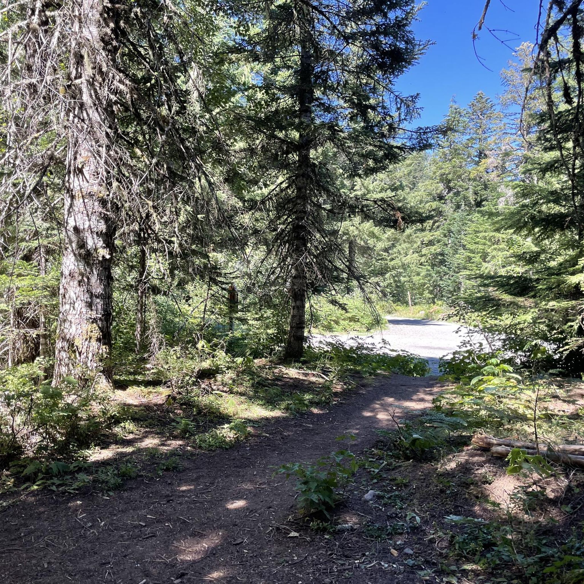
As you continue along the upper part of forest service road, you’ll pass a gate and a sign directing you to the C2C trail. If you started from Corvallis follow the signs and turn left onto the North Ridge Extension Trail. The North Ridge Extension Trail is closed to bicycles from October 16 through May 15. Woods Creek Road runs parallel and remains open all year round, so if you prefer this route, continue straight and make a left. If you are coming from the North Ridge Extension Trail, you can make a right here to head toward Old Peak Road.
0
0

komootモバイルアプリでインスピレーションを得よう


探していたものは見つかりませんでしたか?
オレゴンの下にある他のサイクリングルートをチェックして、目的地で完璧なルートを見つけましょう。
さらに探索
他の地域の最高のサイクリングルートを見てみましょう。
