アニヴィエのおすすめウォーキング&ハイキングルート
4.6
(1257)
12,826
ハイカー
249
ハイキング
アニヴィエ周辺でのハイキングは、景色を満喫するのに最適な手段のひとつですが、適切なハイキングルートを見つけることは簡単ではありません。 アニヴィエ周辺の人気ハイキング&ウォーキングコースを参考にすれば、行きたいルートをすぐに見つけられます。
最終更新日: 8月 30, 2026
4.9
(56)
420
ハイカー
14.3km
06:45
1,070m
1,070m
難しいハイキング. 標準以上のフィットネスレベルが必要です。 安定して歩行できる技術、丈夫な靴、高標高地での登山経験が必要です。
4.6
(8)
244
ハイカー
3.88km
01:04
60m
60m
This easy 2.4-mile loop from Zinal follows the Navizence river through the Lée Plain, offering views of the valley and Besso mountain.

無料新規登録
4.6
(19)
198
ハイカー
12.9km
04:41
750m
750m
難しいハイキング. ある程度のフィットネスレベルが必要です。 安定して歩行できる技術、丈夫な靴、高標高地での登山経験が必要です。
4.4
(16)
141
ハイカー
19.6km
07:48
930m
940m
難しいハイキング. 標準以上のフィットネスレベルが必要です。 全般的に進みやすいルートです。安定して歩行できる技術が必要です。
4.0
(8)
103
ハイカー
13.6km
04:59
700m
690m
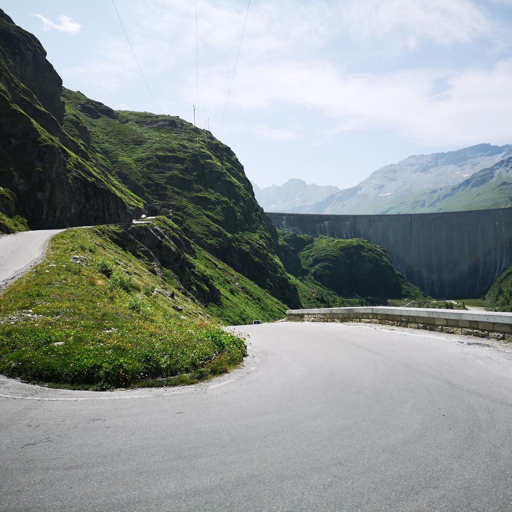
Hike the moderate 8.5-mile (13.6 km) From Grimentz to the Moiry Dam circuit for stunning alpine views and turquoise waters.
さらに多くのルートや他のユーザーのおすすめ情報を確認できます。
無料新規登録
すでにアカウントをお持ちですか?
おすすめのツアーは他のkomootユーザーが実際に経験した何千ものアクティビティに基づいています。
無料アカウントで今日から始めよう
次の冒険が待っています。
ログインまたは登録
アニヴィエ周辺で人気
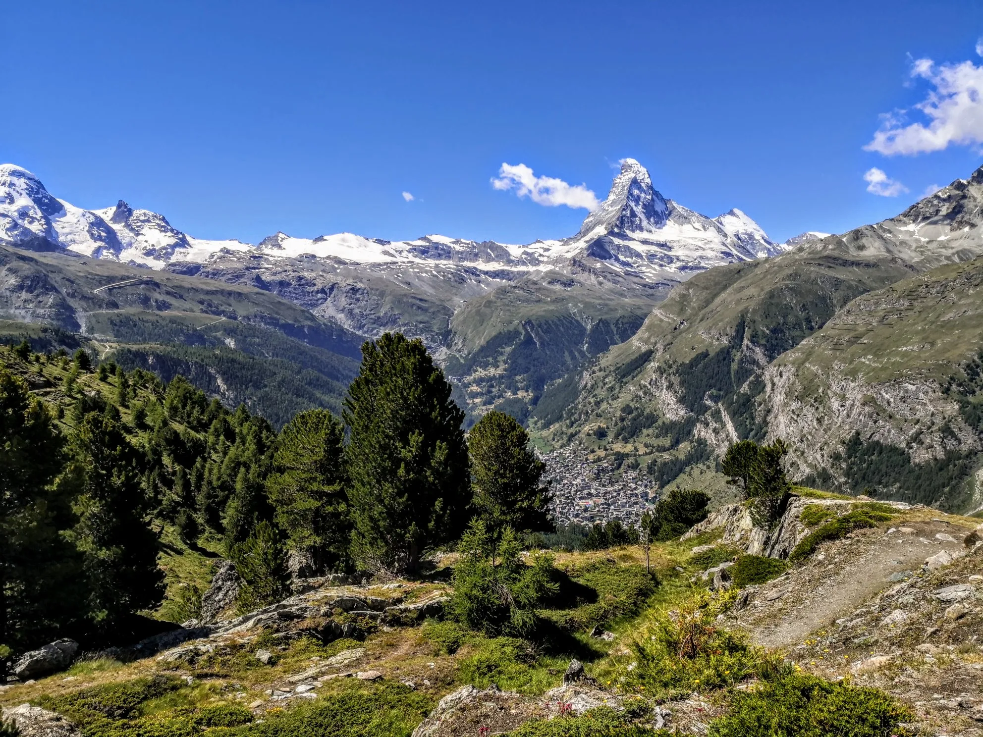
究極のアルパイン・アドベンチャー - ウォーカーズ・オート・ルート

Alpine Passes Trail - サウファーシラールトリアルド 700km インスラールト

純粋な山の楽しみの34ステージ - スイスのアルプス山峠トレイルでハイキング
Teva Playground Explorers: Adventures Mapped by Us. Made for You.
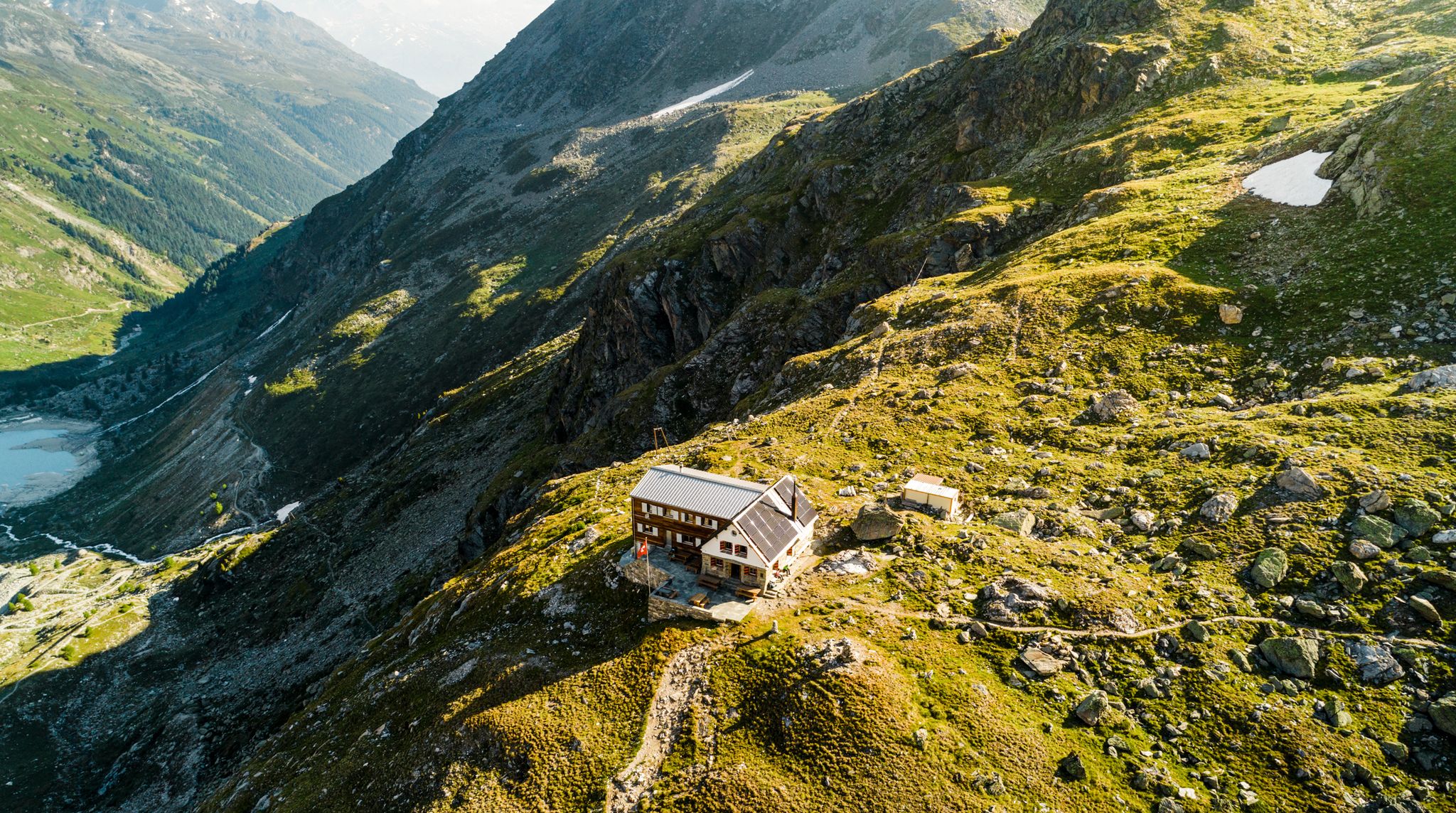
Valais — Making the mountain your home

リスボンへの道 – アルプス、ピレネース、ピコス・デ・エウロパをバイクパッキング
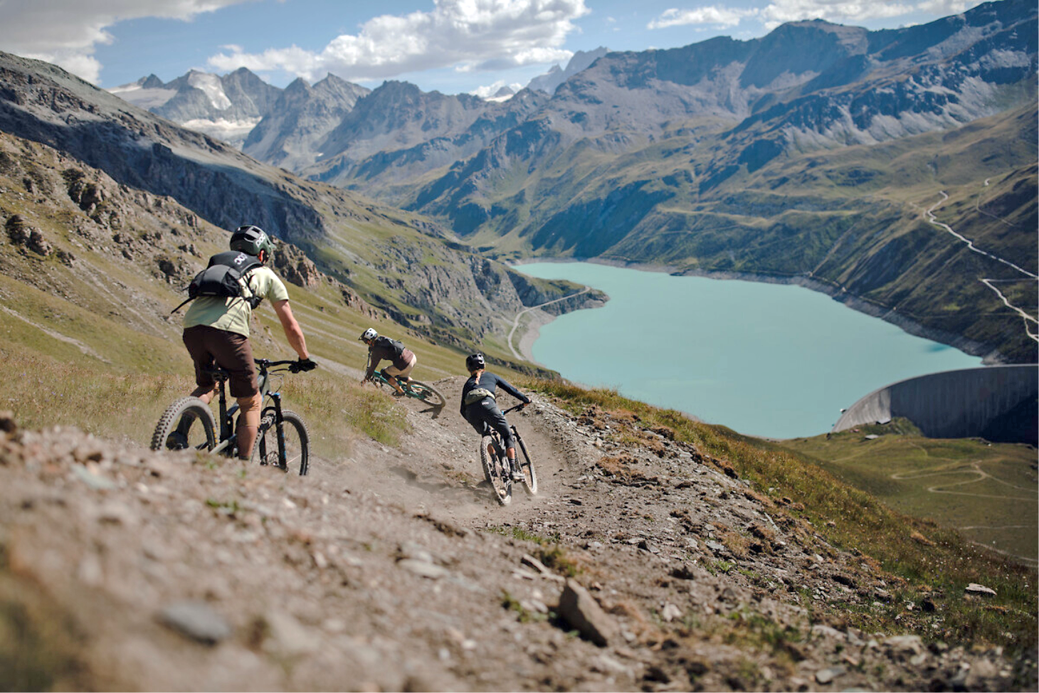
The most beautiful trails in Valais through the Alps – Valais Alpine Bike
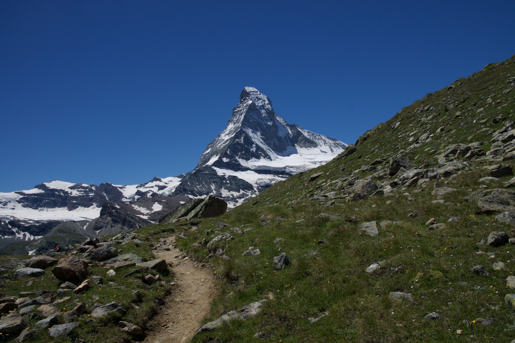
アルプスの貴族の岩 - Cervino Matterhorn Ultra Race
情熱をもって走る - シャモニーからツェルマットのオートルート
アニヴィエのMTBトレイル
アニヴィエでのの他の冒険


コミュニティからのヒント

I did this hike in early May 2024, just a few days after the ski season was over and the slopes had closed. The valley was completely deserted and it felt magical! The peaks were still covered in snow, but the first signs of spring were beckoning. On the final stretch to Lac d'Arpitetta, I was wading through snow up to my knees. Without proper gear I couldn’t get any farther than the small lake. The view on that crystal-clear spring day was absolutely fantastic! Check the picture I uploaded with all the peak names added.
0
0

Magnificent views on this hike. You can do the loop in both directions, the difficulty is there.
1
0

The bridge was destroyed in the flood in June 2024. A wooden bridge was built a little way upstream. That means about a half hour detour, but you can cross the river dry-footed and the area is just great, so the few extra steps don't matter.
2
0

Good restaurant, you can sit outside and inside, there are hot and cold food and drinks. Perfect for a little break.
1
0
A beautiful view of the valley. High chance of seeing chamois moving gracefully around the rocks. Try not to make a lot of sounds and you will be able to spot them.
0
0
From the terrace you have a superb view of Grimentz and the Val d'Anniviers. During the winter season you can eat very well here. And many hikes start from here.
1
0
The climb to the village of Villa is very beautiful; you pass many historic residential buildings. Overall, it's a manageable distance for the day's walk from Moiry Dam and return via this location.
0
1
Easy to access from Lake Arpitettaz. You will see the Moming glacier which is 3km long and located at an altitude of 2850 m. It is subject to climate change and melts slowly... be careful in these areas in spring.
0
0

komootモバイルアプリでインスピレーションを得よう


さらに探索
他の地域の最高のハイキングを見てみましょう。
