ブリティッシュコロンビアのおすすめ登山&山歩きルート
4.8
(5)
81
ハイカー
8
ハイキング
カナダの山々をもっと探索しませんか?このガイドでご紹介するのは、komootがブリティッシュコロンビアでの登山&山歩きのコレクション全体を評価して選び抜いた、このエリアの人気ルートです。あなたに合ったルートを見つけるには、他のユーザーがアップロードした役立つ情報や写真を閲覧し、クリック操作で簡単に表示できる詳細なデータを参考にしましょう。ブリティッシュコロンビアでの次の冒険にぴったりの登山&山歩きルートが見つかるはずです。
最終更新日: 8月 19, 2026
5.0
(1)
21
ハイカー
13.8km
04:25
580m
580m
中程度の登山ルート. ある程度のフィットネスレベルが必要です。 進みやすいルートです。あらゆるスキルレベルに適しています。
12
ハイカー
19.6km
06:46
1,090m
1,090m
難しい登山ルート. 標準以上のフィットネスレベルが必要です。 進みやすいルートです。あらゆるスキルレベルに適しています。

無料新規登録
5.0
(2)
13
ハイカー
難しい登山ルート. ある程度のフィットネスレベルが必要です。 安定して歩行できる技術、丈夫な靴、高標高地での登山経験が必要です。
14
ハイカー
20.2km
06:55
1,090m
1,090m
難しい登山ルート. 標準以上のフィットネスレベルが必要です。 進みやすいルートです。あらゆるスキルレベルに適しています。
10
ハイカー
13.4km
03:58
400m
400m
中程度の登山ルート. ある程度のフィットネスレベルが必要です。 進みやすいルートです。あらゆるスキルレベルに適しています。
5.0
(1)
7
ハイカー
20.5km
06:31
780m
780m
難しい登山ルート. 標準以上のフィットネスレベルが必要です。 進みやすいルートです。あらゆるスキルレベルに適しています。
5
ハイカー
6.32km
01:40
50m
50m
初級者向け登山ルート. あらゆるフィットネスレベルに適しています。 進みやすいルートです。あらゆるスキルレベルに適しています。
おすすめのツアーは他のkomootユーザーが実際に経験した何千ものアクティビティに基づいています。
無料アカウントで今日から始めよう
次の冒険が待っています。
ログインまたは登録
ブリティッシュコロンビア周辺で人気
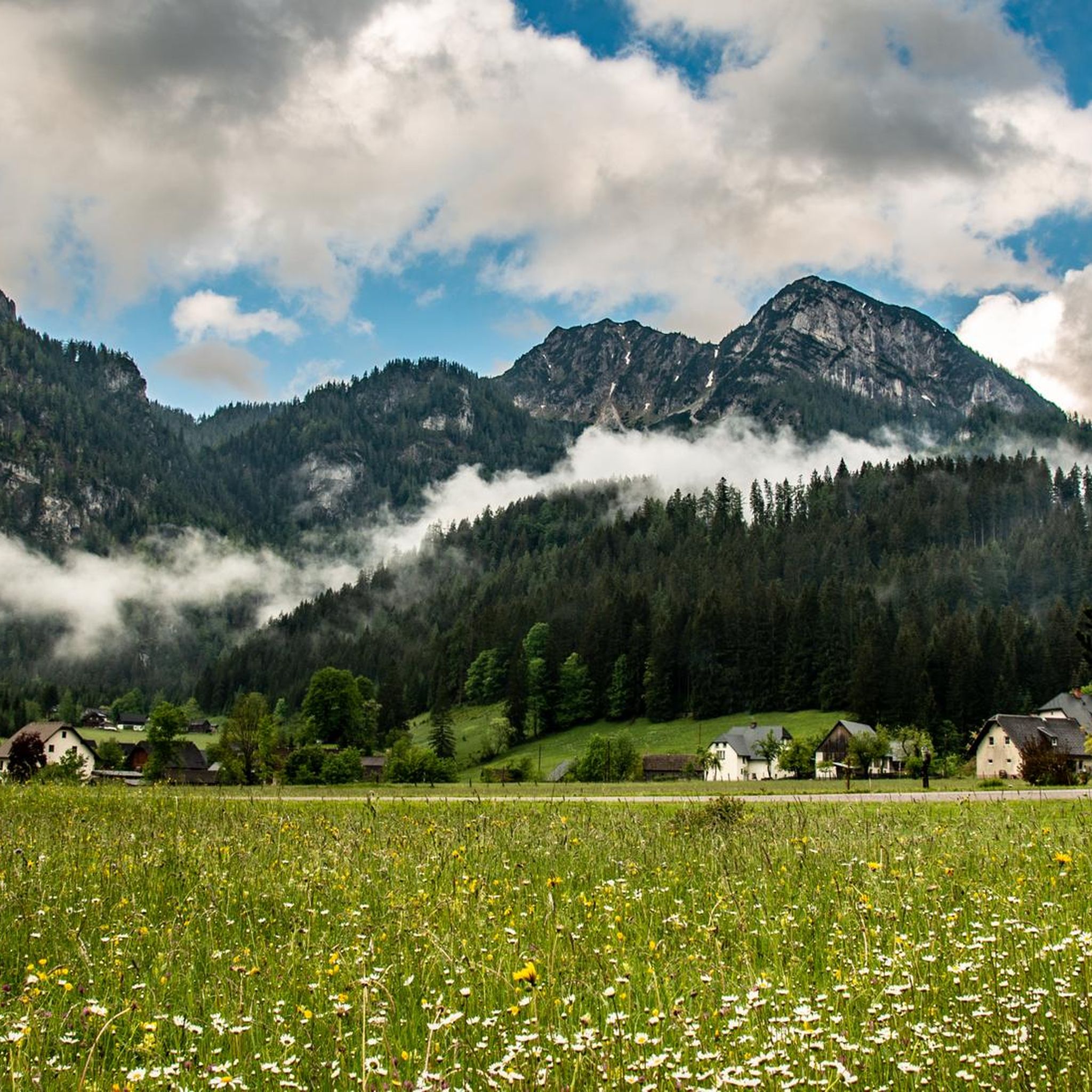
ロッキー山脈での登山&山歩き
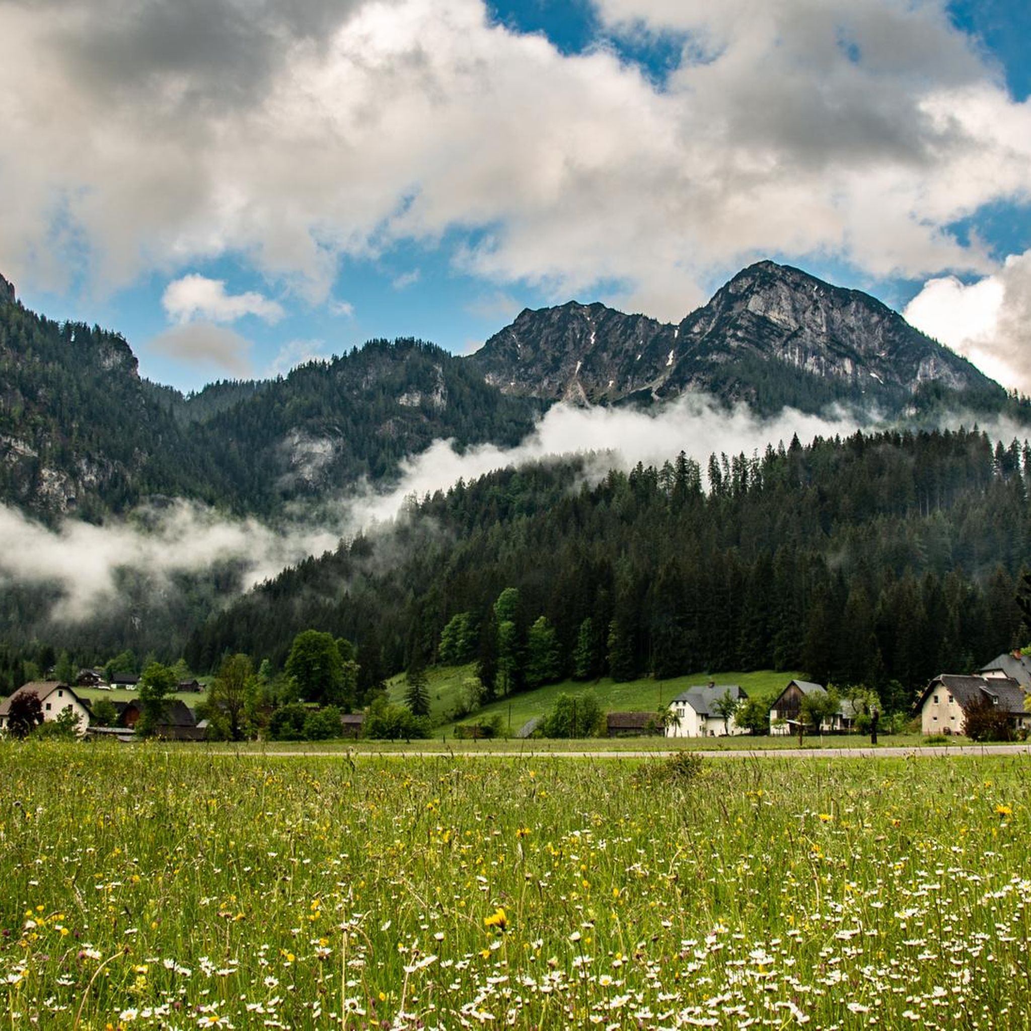
Columbia-Shuswap Aでの登山&山歩き
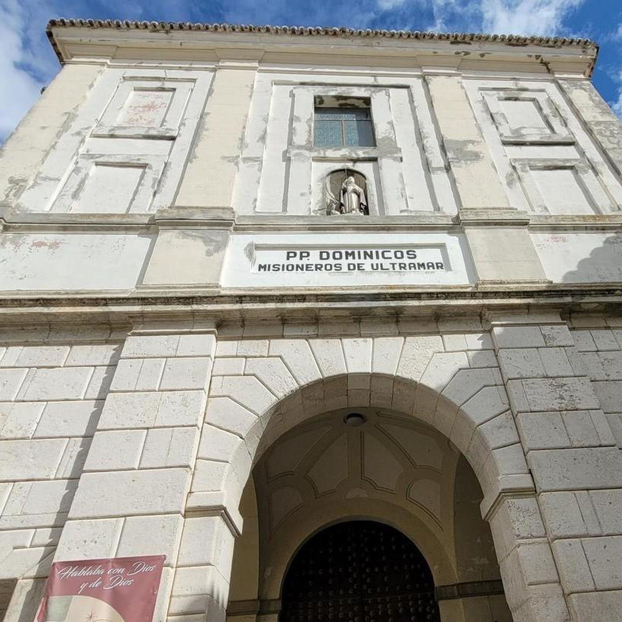
Yoho National Parkでの登山&山歩き
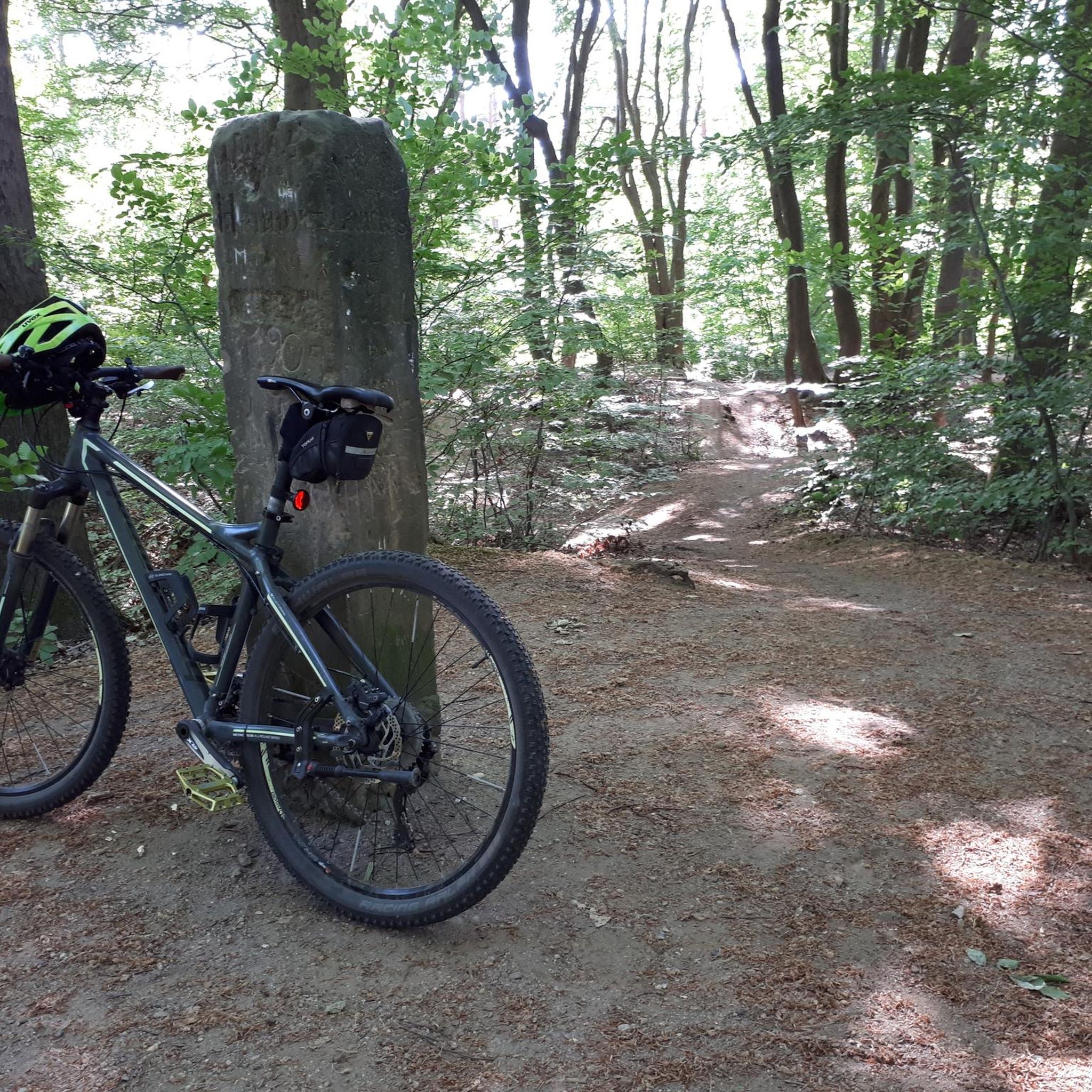
コースト山脈での登山&山歩き
Squamish-Lillooet Dでの登山&山歩き
チルクートトレイル — そびえ立つ山々の間のゴールドラッシュの歴史

グレート・ディバイド・マウンテンバイク・ルート - 大陸の背骨をサイクリング
Long-distance hiking in Canada – between mountains and coast

Cross Canada Ride — 東へ6,800km進む

4,200キロメートルの荒野 - 太平洋水分線トレイルからメキシコにカナダ
ブリティッシュコロンビアでのの他の冒険


コミュニティからのヒント

ヨーホー国立公園にある、見事に配置された湖です。湖の左側はハイキングに適しています。右側は泥濘地が多く、少し難易度が高いですが、現在状況を改善するために遊歩道が建設中です。現在、丈夫な靴を強くお勧めします。 素晴らしい山の景色を眺めながらのボートクルーズが、ハイキングを締めくくります。非常におすすめです。
0
0

この小さくて美しい滝は、チーフ・ピークス・トレイルの短いが急なハイキングでアクセスできます。山への長いハイキングの休憩地点として、または短い往復ハイキングの目的地および折り返し地点として使用できます。
0
0

Laughing Falls is a thundering waterfall with a mountain-energy vibe along the Little Yoho River. There are simple wooden bridges for river crossings, picnic benches, and backcountry camping, with bear bag hangs. A Parks Canada pass is required for entry, and a backcountry permit is required for camping.
0
0


The direct route from the parking lot to Garibaldi Lake is easily doable even in early May, as the snow on the trails is already packed. Before that, we hiked up to Panaroma Ridge, which is almost impossible without snowshoes or something similar at this time of year (1.80 meters of snow), but at least you're completely alone there.
0
0

Area: Approximately 0.5 km². Maximum Depth: Around 30 meters. Perimeter length: Approximately 5.2 km.
2
0
It was discovered in 1882 by Tom Wilson, a guide for the Canadian Pacific Railway. He was working on the construction of the railway when a group of Stoney Nakoda guided him towards the lake. He was so impressed by the color of the water that he named it Emerald Lake, in honor of its vibrant emerald green hue.
2
0

The entire hike around the lake is highly recommended and offers great views. I would recommend walking around the lake anti-clockwise so you don't have to walk with the crowds.
0
0
ブリティッシュコロンビアでのの人気ルート

komootモバイルアプリでインスピレーションを得よう


探していたものは見つかりませんでしたか?
ブリティッシュコロンビアの下にある他の登山ハイキング & ルートをチェックして、目的地で完璧なルートを見つけましょう。
