ブリティッシュコロンビアの湖・トップ20
次の冒険でブリティッシュコロンビアの素晴らしい湖を訪れてみませんか?湖畔の穏やかな雰囲気や、天気が良い日のひと泳ぎは格別です。komootコミュニティがおすすめするブリティッシュコロンビアの素晴らしい湖の一覧を参考にして、次の冒険では湖をもっと満喫しましょう。
最終更新日: 8月 25, 2026
スタンレーパークのトーテムポール
ハイライト • 記念碑
翻訳者 Google •
役立つ情報 は

ロスト・レイク
ハイライト • 湖
翻訳を表示中
役立つ情報 は

今すぐサインアップして、こんな場所を発見しよう
最高のシングルトラック、ピーク、その他のエキサイティングなアウトドアスポットのおすすめを受け取ろう。
無料新規登録
エメラルド湖
ハイライト • 湖
翻訳者 Google •
役立つ情報 は

キニー湖
ハイライト • 湖
翻訳者 Google •
役立つ情報 は

ガリバルディ湖
ハイライト • 湖
翻訳者 Google •
役立つ情報 は

バーグレイク・トレイル
ハイライト • トレイル
翻訳者 Google •
役立つ情報 は

ローワー・ジョフリー湖
ハイライト • 湖
The lake receives water from nearby glaciers, mainly …
翻訳者 Google •
役立つ情報 は

ジョフリー湖トレイル
ハイライト • トレイル
役立つ情報 は
アッパー・ジョフリー・レイク
ハイライト • 湖
役立つ情報 は

無料アカウントで今日から始めよう
次の冒険が待っています。
ログインまたは登録
ブリティッシュコロンビア周辺で人気
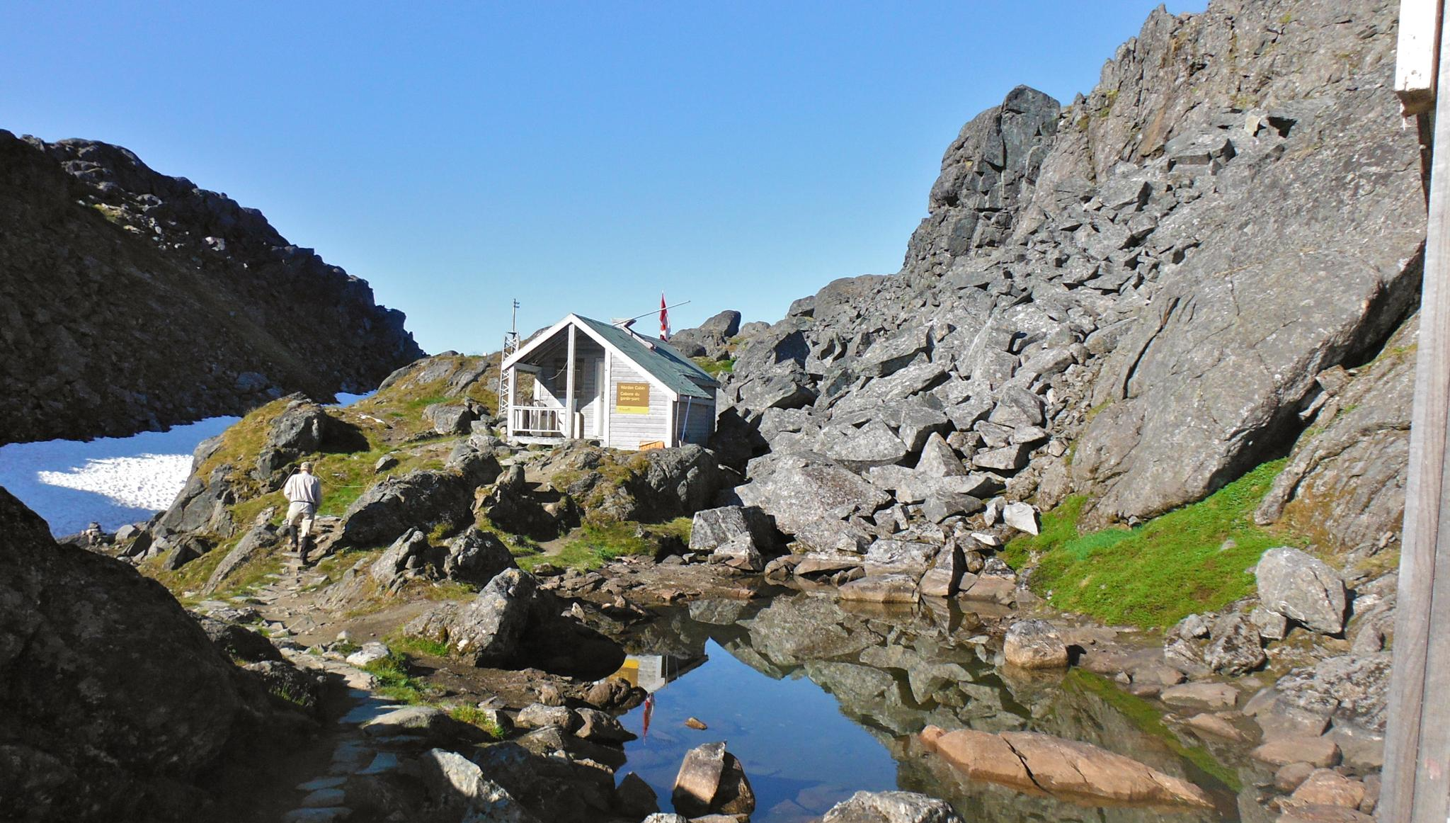
チルクートトレイル — そびえ立つ山々の間のゴールドラッシュの歴史

グレート・ディバイド・マウンテンバイク・ルート - 大陸の背骨をサイクリング
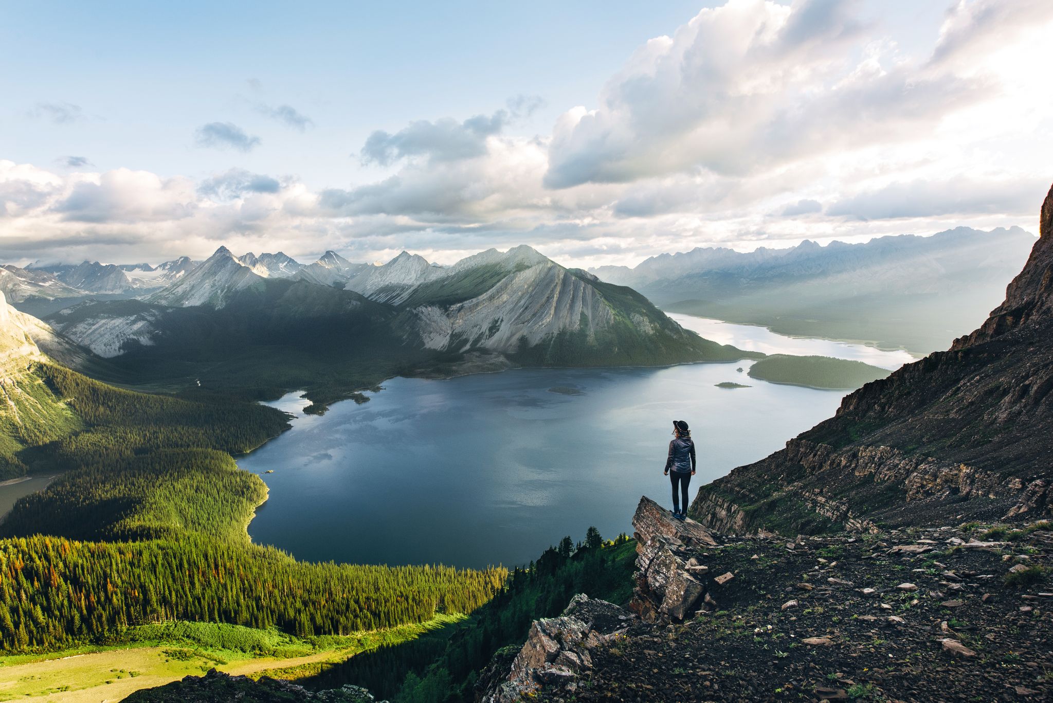
Long-distance hiking in Canada – between mountains and coast

Cross Canada Ride — 東へ6,800km進む

4,200キロメートルの荒野 - 太平洋水分線トレイルからメキシコにカナダ

BC エピック 1000

アルアランドの入力が80日な
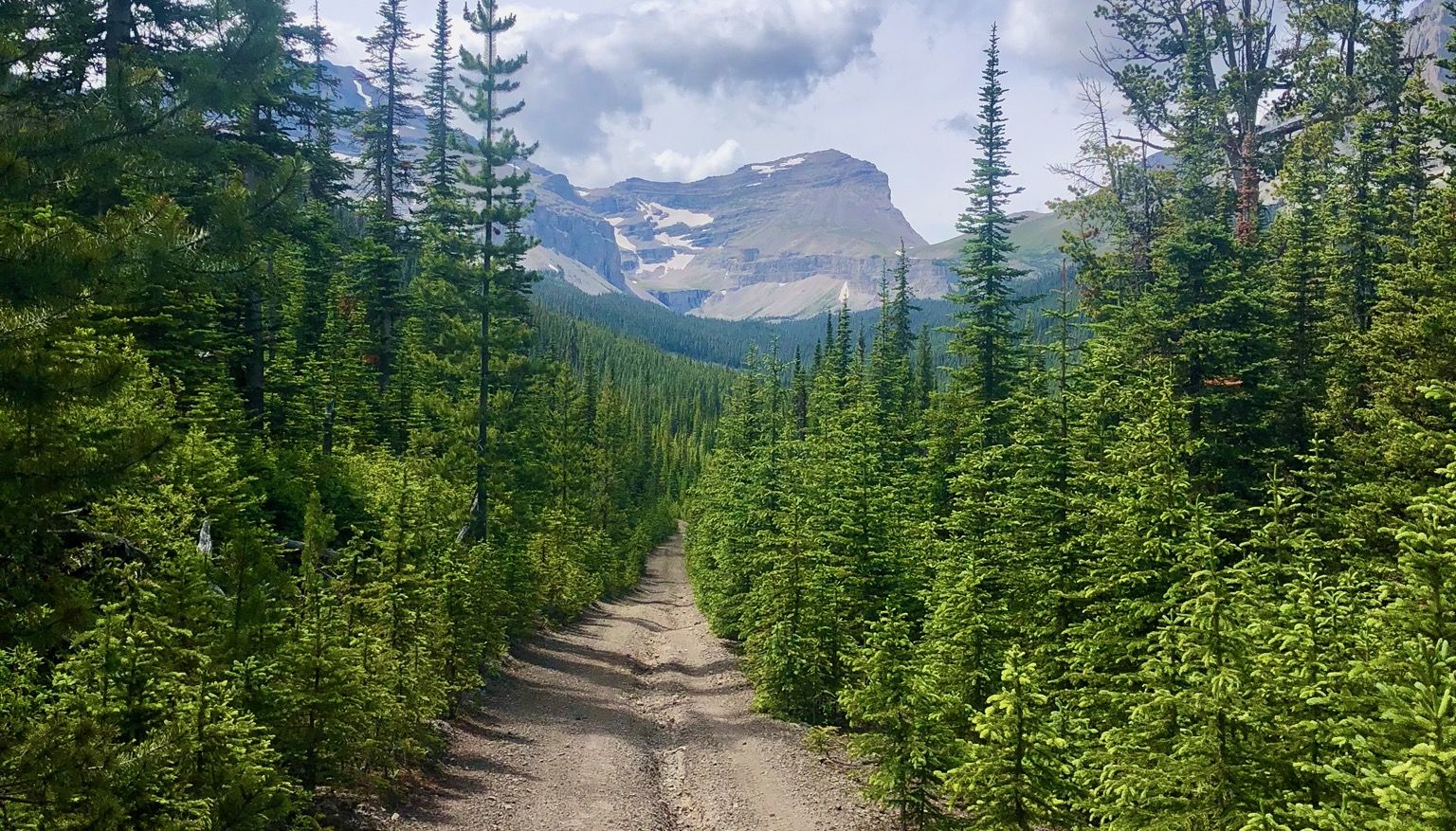
ロッキー山脈を走れ - マウンテンランジングファストパッキング #5

Bikepacking British Columbia — Vancouver 往復
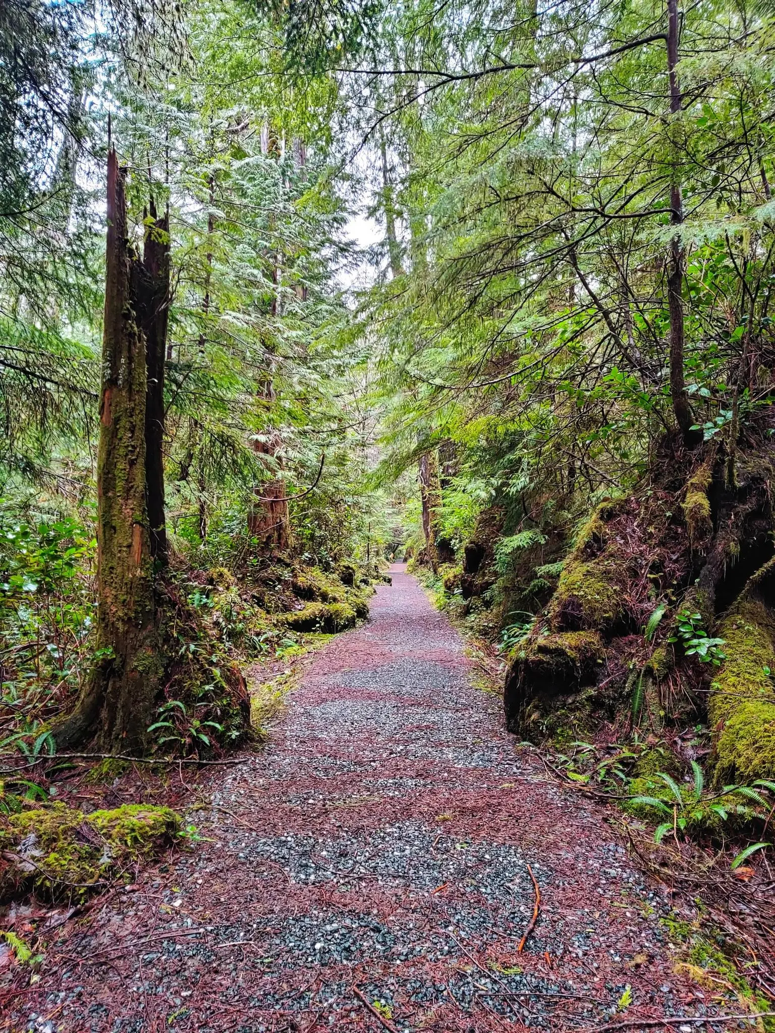
ノースコーストトレイル — バンクーバー島の最もワイルドな冒険
ブリティッシュコロンビアでのの他の冒険


コミュニティからのヒント


ヨーホー国立公園にある、見事に配置された湖です。湖の左側はハイキングに適しています。右側は泥濘地が多く、少し難易度が高いですが、現在状況を改善するために遊歩道が建設中です。現在、丈夫な靴を強くお勧めします。 素晴らしい山の景色を眺めながらのボートクルーズが、ハイキングを締めくくります。非常におすすめです。
0
0

A very beautiful mountain lake and a great ensemble with the mountains.
1
0


In Vancouver's beautiful Stanley Park, you can admire several totem poles for free. Each one has an explanation, and the path to the pole is signposted.
1
0

Access to the Joffre Lakes Trail is located at the top of a pass. Joffre Creek drains west into the Lillooet River, while Cayoosh Creek flows east and empties into Duffey Lake, which drains into the Fraser River. During the summer months, you must register for the Joffre Lakes Trail free of charge – for information, see the following website: https://bcparks.ca/reservations/day-use-passes/#joffre-lakes Registration is required to ensure a manageable number of hikers in the park – a maximum of 500 people per day. The trail leads to the park's three lakes: Lower Lake, Middle Lake, and Upper Lake. The Lower Joffre Lake is just a few hundred meters from the parking lot. Joffre Lakes Park is known for its turquoise lakes and panoramic views of snow-capped peaks; the base of the Matier Glacier is visible. Below the Upper Joffre Lake, Holloway Falls plunge into the depths. The trail ends at Upper Joffre Lake, but it is possible to continue along the western shore to the Joffre Lakes Backcountry Campground and further to the southern end of the lake, where rushing streams carry the waters of the Matier Glacier. (Visit May 28, 2025)
2
0
Upper Joffre Lake lies at an elevation of 1,570 m and is easily accessible along a shady forest trail. Below the lake, the ascent takes you past the rushing Holloway Falls. There is an elevation difference of approximately 60 meters between Middle and Upper Joffre Lake. The lakeshore offers a stunning panorama, including Joffre Peak and Slalok Mountain, as well as the glacial base of Mount Matier; the mountain peak itself is not visible from here. (Visit May 28, 2025)
2
0
Lost Lake was formed when glaciers retreated from the valley, leaving behind a buried block of ice. After the ice melted, a circular depression was created that filled with water, forming a so-called kettle lake. https://fireandicegeoregion.ca/geosite/lost-lake/ https://www.legendswhistler.com/whistler/news/2019/4/11/lost-lake-whistler/
2
0
ブリティッシュコロンビアでのの人気ルート

komootモバイルアプリでインスピレーションを得よう


探していたものは見つかりませんでしたか?
地域ごとの最高の湖を見つけましょうブリティッシュコロンビアでの:
さらに探索
まだ完璧な湖が見つかりませんかブリティッシュコロンビアでの?これらの地域のガイドをチェックして、さらに美しい場所を見てみましょう。
