ウェールズの峠・トップ20
風景を楽しんだり、上りや下りを満喫したり、峠には楽しみ方がたくさんあります。ウェールズの素晴らしい峠の一覧を参照して、思い出に残るアドベンチャーに出かけましょう。コミュニティのメンバーがコミュニティのために投稿した峠のハイライトは、他のユーザーが実際におすすめする情報なので、どれも信頼できるものです。気に入った峠にさっそく向かってみましょう。
最終更新日: 8月 20, 2026
クニヒト山頂
ハイライト • 自然記念物
役立つ情報 は

ブールク・グラス峠
ハイライト • 自然記念物
役立つ情報 は

今すぐサインアップして、こんな場所を発見しよう
最高のシングルトラック、ピーク、その他のエキサイティングなアウトドアスポットのおすすめを受け取ろう。
無料新規登録
ギャップ峠
ハイライト (セグメント) • 展望台
役立つ情報 は

ザ・ギャップ(バナウ・ブリヘイニオグ国立公園)
ハイライト • 山道
Best ridden from south …
役立つ情報 は

ゴスペル・パス(Bwlch yr Efengyl)
ハイライト (セグメント) • 山道
役立つ情報 は

ホースシューパス(Bwlch yr Oernant)ラングレンからの登り
ハイライト (セグメント) • 山道
役立つ情報 は

ギャップ峠(Bwlch ar y Fan)、バナウ・ブリチェニオグ国立公園
ハイライト (セグメント) • 展望台
役立つ情報 は

ラヌベリス峠 – ペン・イ・パスの登り
ハイライト (セグメント) • 登山
役立つ情報 は
ポント・アバーからのブラックマウンテンクライム
ハイライト (セグメント) • 登山
役立つ情報 は

トレオーキーからのブウルク山の登り
ハイライト (セグメント) • 展望台
役立つ情報 は

無料でサインアップして、さらに多くの山道を発見しましょう ウェールズでの。
無料新規登録
すでにアカウントをお持ちですか?
無料アカウントで今日から始めよう
次の冒険が待っています。
ログインまたは登録
ウェールズ周辺で人気
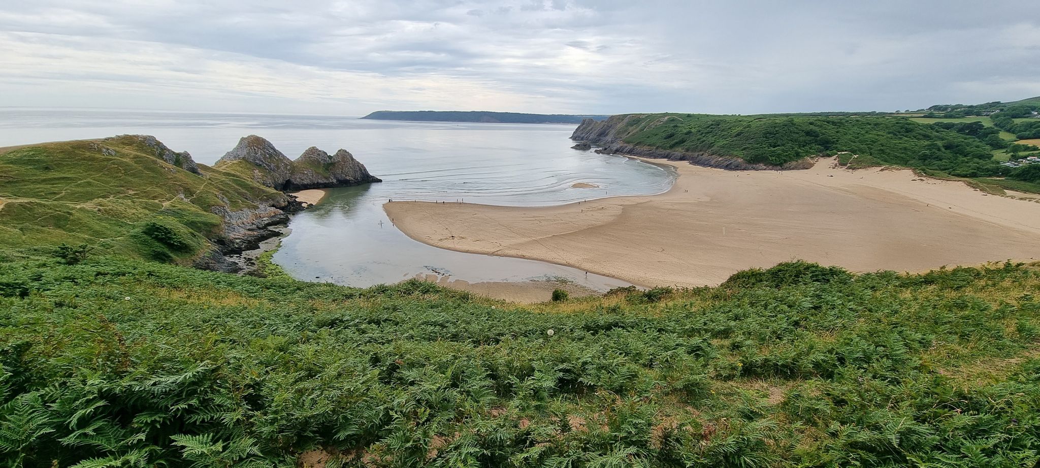
The Gower Edit — Love Trails with komoot
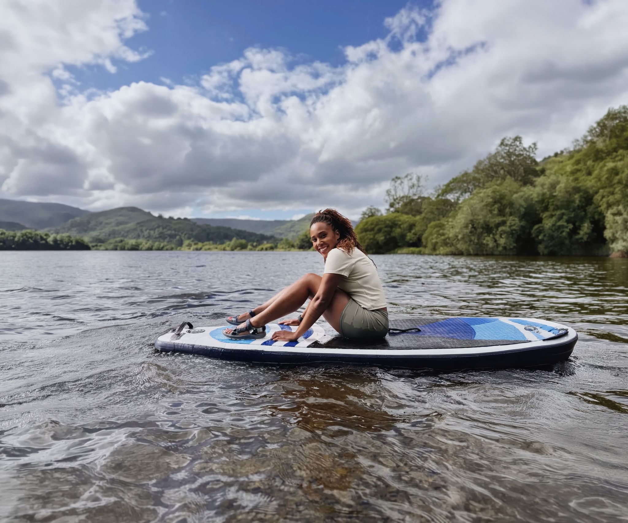
Scenic hikes to stand-up paddleboarding locations in the UK
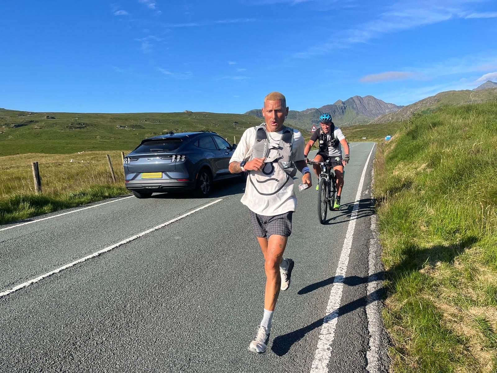
Supporting the National Three Peaks FKT in true Green Runners’ Style
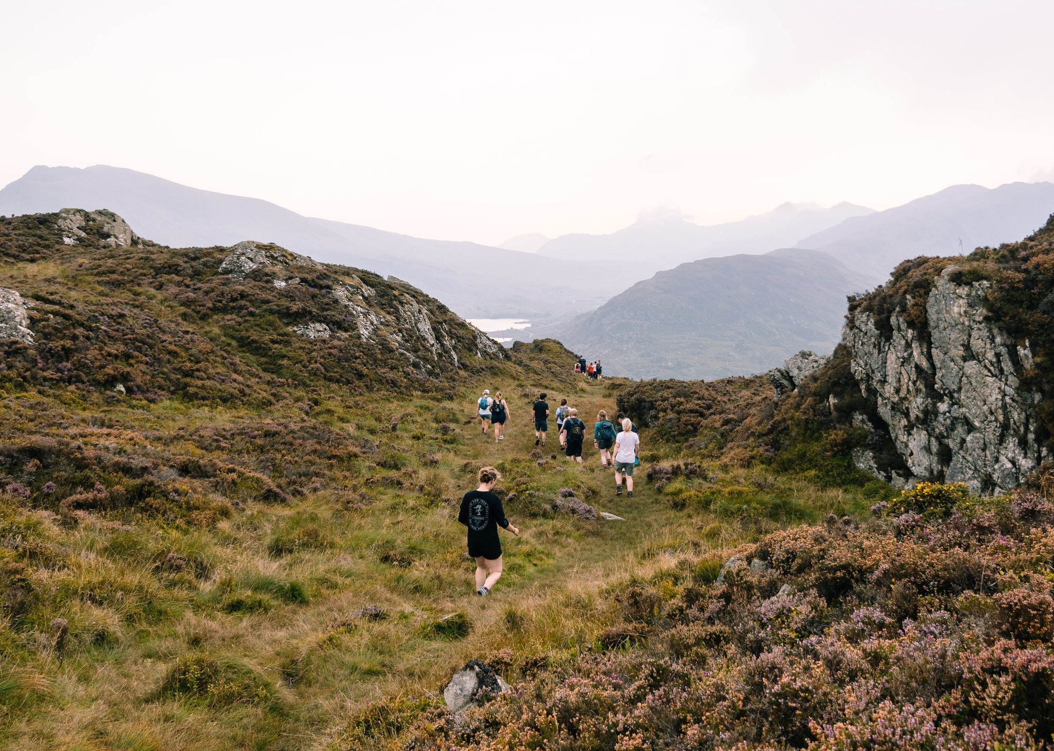
Connect with Nature – Purposeful Adventures in 2024
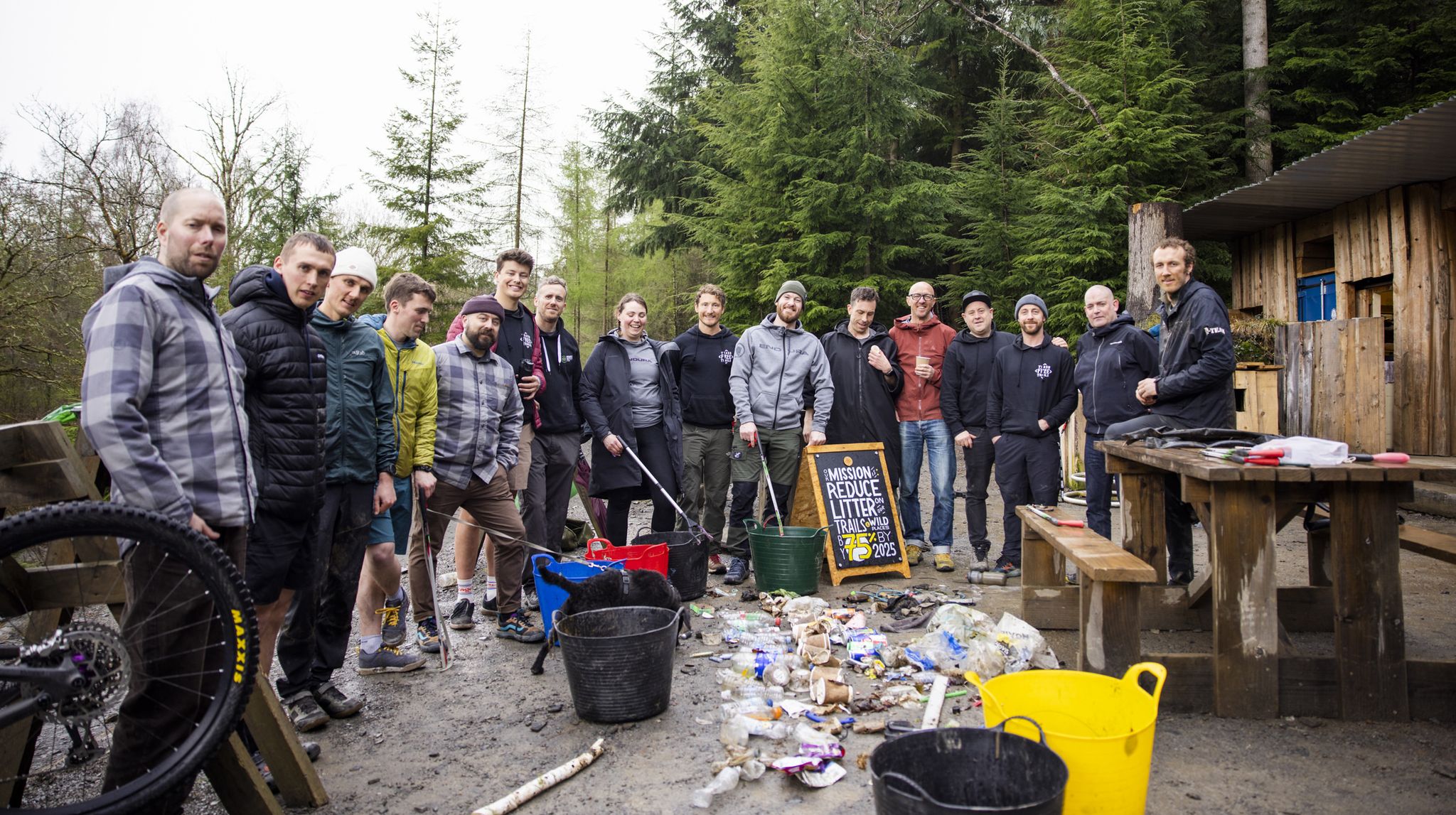
Adventures with a Purpose – our A-TEAMers’ best routes
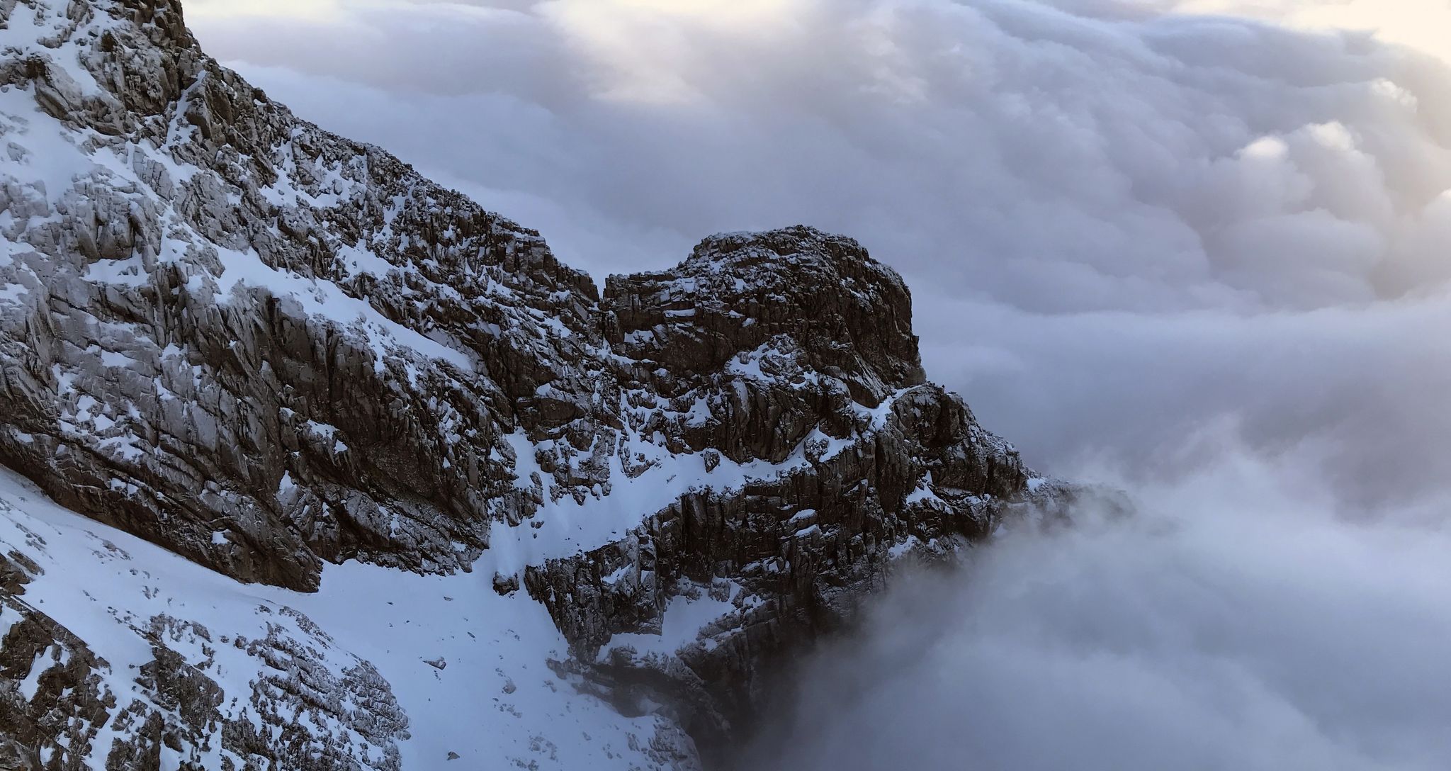
エフェメラルライン - イギリスの冬のリッジはすごい
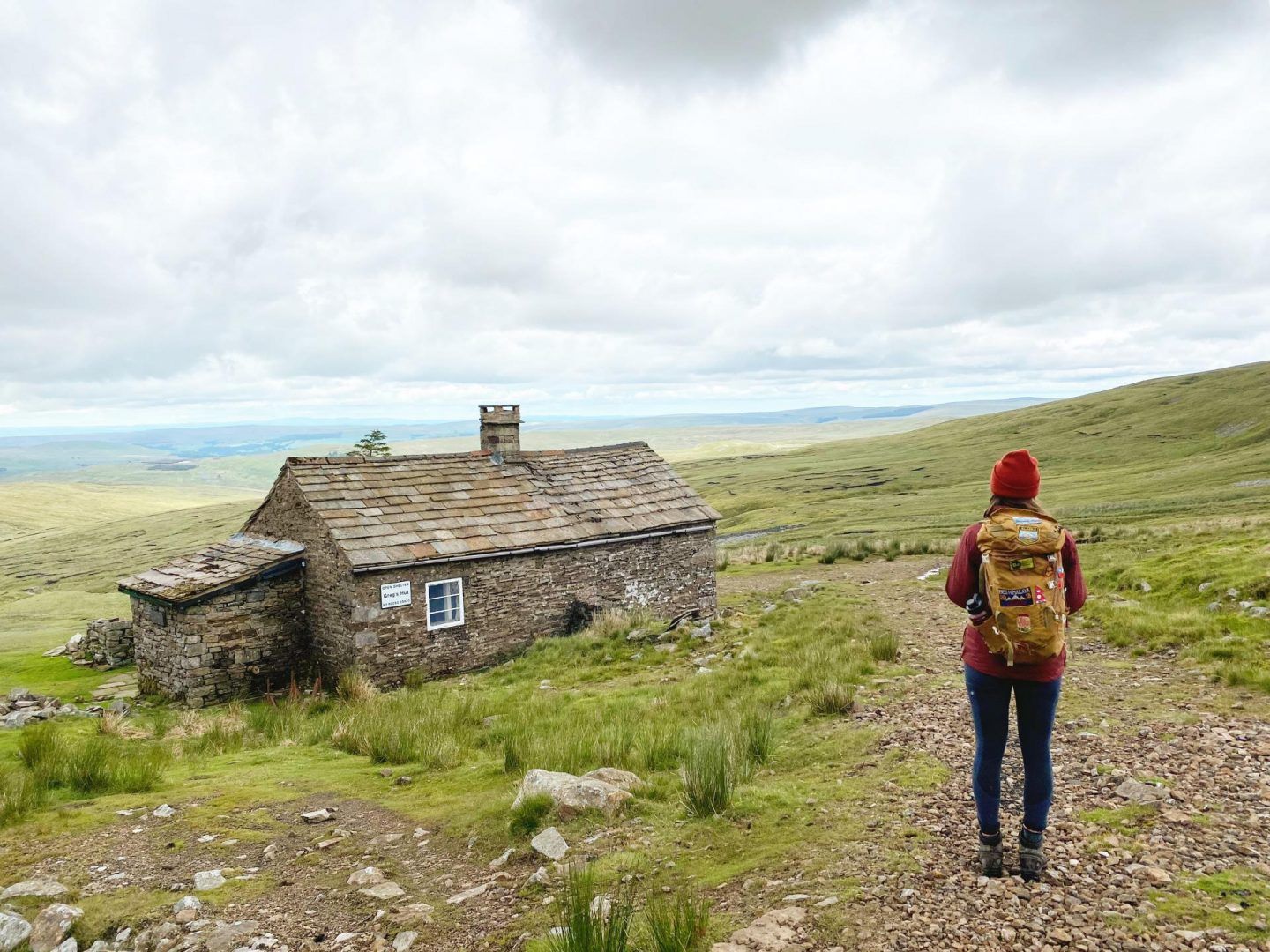
ブリテインのボーシーズ:ユニークな山のシェルターへのハイキングとサイクリングアドベンチャー
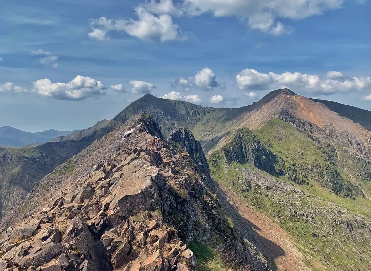
ドラゴンの背中-ウェールズの背骨を走る
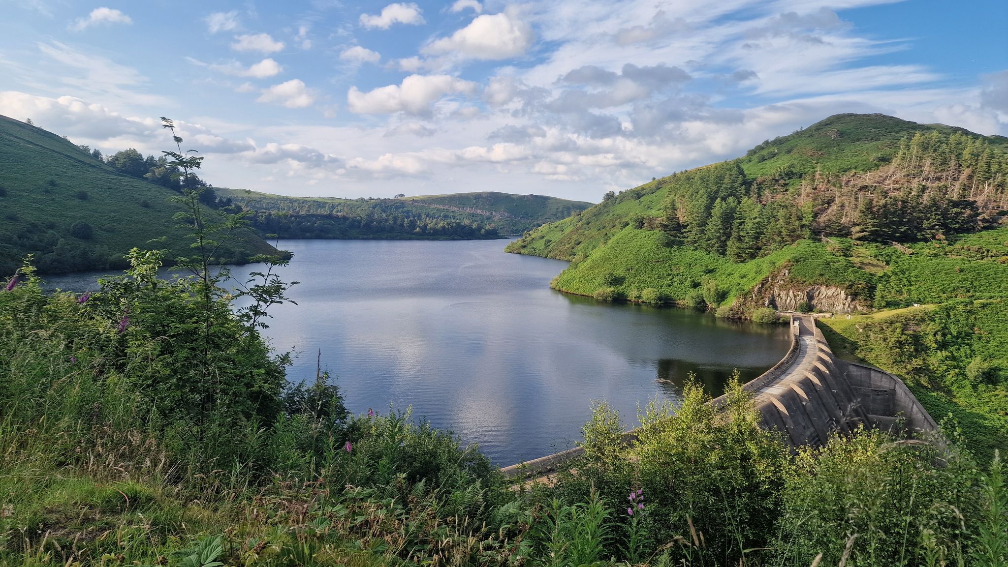
Glyndŵ's Way - ウェールズの英雄の足跡をたどるハイキング
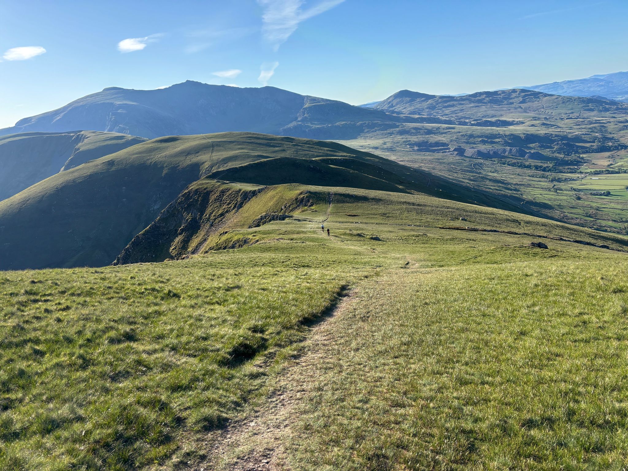
100 エピックマイル in Eryri - Ultra Trail Snowdonia by UTMB
ウェールズでのの他の冒険


コミュニティからのヒント

Rainbows on mountains tend to be a mixed blessing as they are a pretty sure sign that you are about to get wet! However from the photographers point of view they can also signal some great light, with sun mixed in with dark moody clouds. This was the view from near the summit of Cnicht - otherwise sometimes called the Welsh Matterhorn due to its pointy appearance from the village of Croesor. To the right of the picture is Moel Hebog which rises steeply above the pictuesque village of Beddgelert.
0
0
A fine rocky and in places narrow ridge, and you will often have it all to yourself!
0
0

Beautiful hike, too bad it was cloudy at the top. 12.3 km isn't the actual distance you'll be hiking: it's definitely 10 km more because you can't walk a straight line on this path. It's very busy on this trail; there's a queue to reach the top.
0
0

Crazy hiking all the way up and then seeing a train pass you on the final section!
0
0

Great climb, long but not too steep. Views are absolutely amazing !!!
0
0

As you descend to this section to the viewpoint I've shared, please be aware that you have rocks and drops to descend that can be slippery when they are wet.
0
0

Gap Road. This was the first track to enable horse-drawn carriages to cross the mountain range. It's thought to be a Roman road, although no archaeological evidence has been found as yet. Turn right onto the gap road and follow this route all the way back to the car park, and to your starting point.
0
0

Great piece of road with dramatic views, a speedy descent toward Llanberis
0
0

komootモバイルアプリでインスピレーションを得よう


