アルジャンヴィリエのおすすめライド
4.1
(14)
254
ライダー
92
ライド
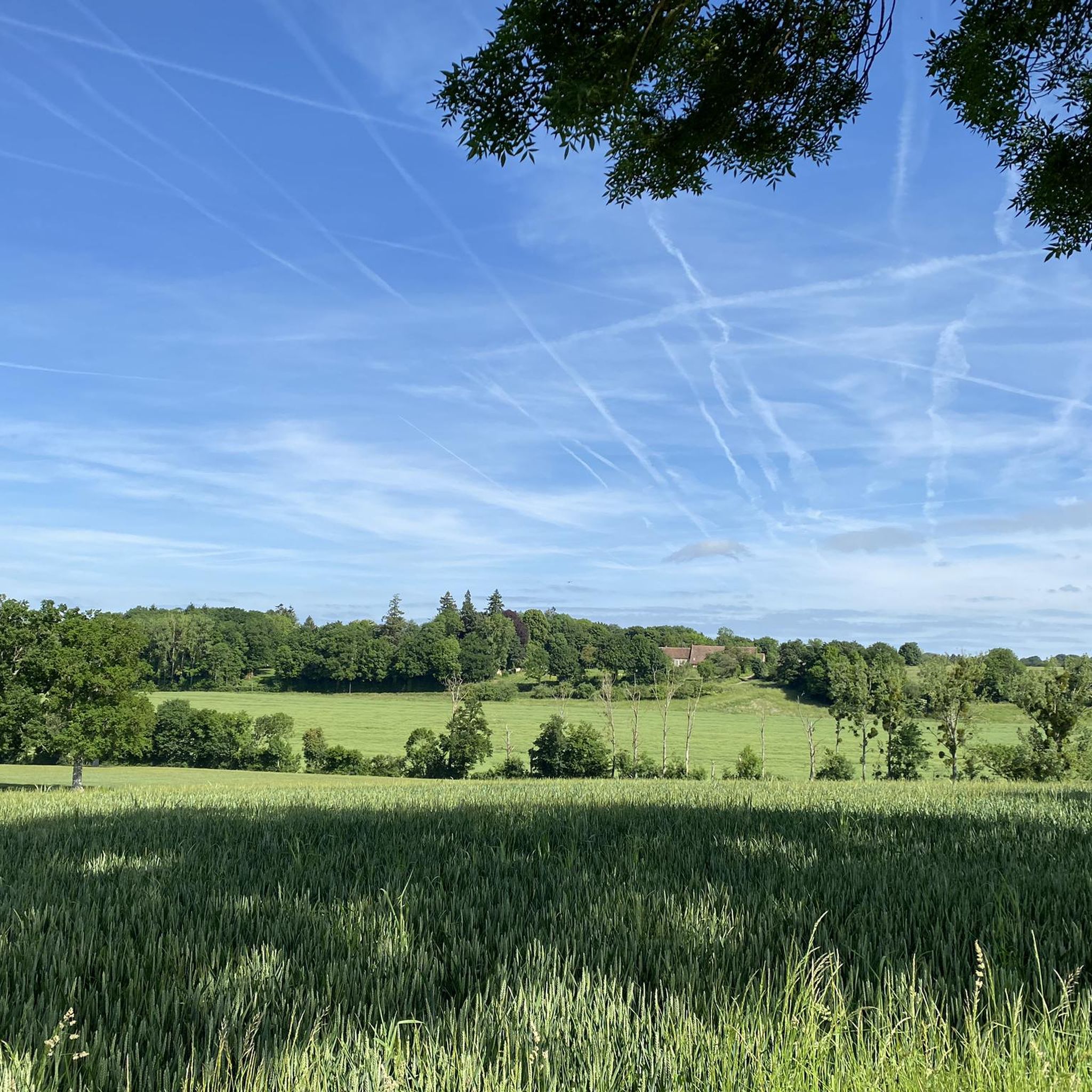
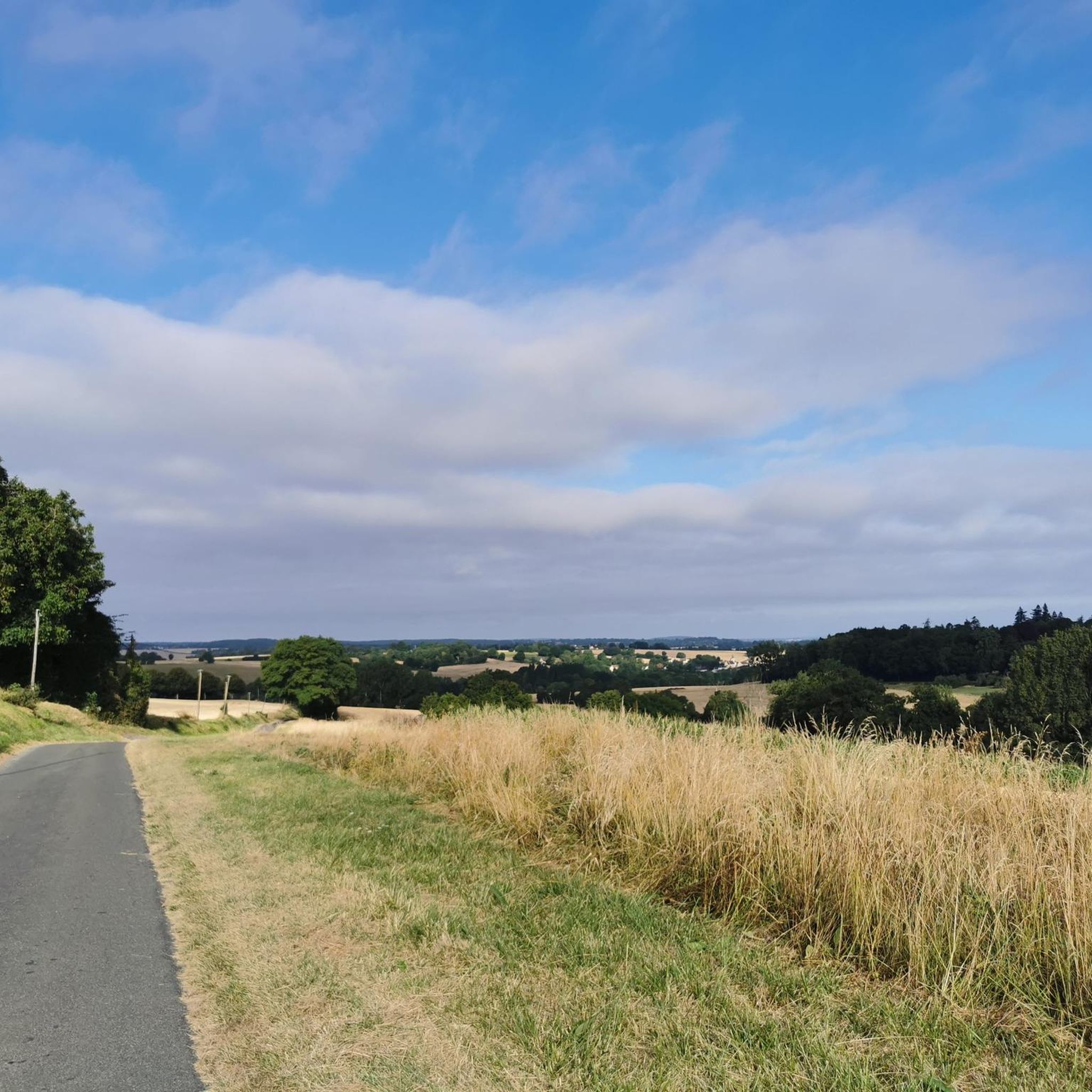
アルジェンヴィリエ周辺のロードサイクリングルートは、ペルシュ自然地域公園に隣接するユール=エ=ロワール県の、穏やかで起伏のある田園地帯に設定されています。この地域は起伏のある地形が特徴で、標高は173メートルから283メートルまで変化し、サイクリストに多様な勾配を提供します。曲がりくねった田舎道は、森林地帯と開けた景観を横切り、登りと下りの両方を楽しめます。この地域は自然環境に恵まれており、多様なルートを求めるロードサイクリストに適しています。
アルジェンヴィリエ周辺の最高のロードサイクリングルート
- 最も人気のあるロードサイクリングルートは、ティロン修道院 – ラ・ゴードネからのヴロセニー・ループ第1ステージで、距離は19.7マイル(31.6 km)、所要時間は1時間25分です。この適度な難易度のルートからは、ペルシュの田園風景の美しい眺めが楽しめます。
- 地元のロードサイクリストに人気のもう一つのルートは、ノートルダム教会 – ラ・ゴードネからのヴロセニー・ループ第1ステージで、適度な難易度の33.8マイル(54.3 km)のコースです。このルートは変化に富んだ地形が特徴で、地元の村々を通り抜けます。
- 地元のロードサイクリストは、フラゼ – フラゼ城ループ(ラ・ゴードネ発)も気に入っています。この40.3マイル(64.8 km)のルートは、起伏のある丘陵地帯を通り抜け、フラゼ城を通過し、所要時間は約2時間38分です。
- アルジェンヴィリエ周辺のロードサイクリングは、ペルシュ自然地域公園内の、なだらかな丘、曲がりくねった田舎道、そして森林地帯が特徴です。このネットワークは、初級、中級、上級のルートを提供しており、様々なレベルのサイクリストに対応しています。
- アルジェンヴィリエのルートは、komootコミュニティから平均4.2つ星(10件以上のレビュー)と高く評価されています。300人以上のロードサイクリストがkomootを利用して、アルジェンヴィリエの多様な地形を探索しています。
最終更新日: 8月 28, 2026
4.8
(4)
37
ライダー
31.4km
01:27
340m
340m
中程度のロードライド. ある程度のフィットネスレベルが必要です。 全般的に舗装状態が良好で走行しやすい道です。
9
ライダー
54.3km
02:18
420m
410m
中程度のロードライド. ある程度のフィットネスレベルが必要です。 全般的に舗装状態が良好で走行しやすい道です。

無料新規登録
6
ライダー
64.8km
02:39
390m
390m
中程度のロードライド. ある程度のフィットネスレベルが必要です。 全般的に舗装状態が良好で走行しやすい道です。
5.0
(1)
7
ライダー
31.3km
01:18
210m
210m
初級者向けロードバイクライド. あらゆるフィットネスレベルに適しています。 全般的に舗装状態が良好で走行しやすい道です。
5
ライダー
46.8km
02:03
430m
430m
中程度のロードライド. ある程度のフィットネスレベルが必要です。 全般的に舗装状態が良好で走行しやすい道です。
さらに多くのルートや他のユーザーのおすすめ情報を確認できます。
無料新規登録
すでにアカウントをお持ちですか?
おすすめのツアーは他のkomootユーザーが実際に経験した何千ものアクティビティに基づいています。
無料アカウントで今日から始めよう
次の冒険が待っています。
ログインまたは登録
コミュニティからのヒント


This ancient fortified castle dominates the Huisne Valley at 360° with its imposing keep. The building, with its troubled history, has undergone numerous modifications in its architecture and functions. A visit is essential to understand the complexity of its history and to observe the architectural evolutions.
0
0

The inhabitants of Margon can admire the church of Notre-Dame du Mont-Carmel, proudly dominating the old town on its rocky spur, at the corner of two green valleys. It was later given an aisle during the 16th century, but its Romanesque portal has been preserved. It reigns benevolently over the old cemetery which surrounds it and which has recently been enlarged due to the increase in the population of the commune.
0
0

A must-see that overlooks the valley.
0
0

Built on an old feudal motte, which is still visible and was completely destroyed during the Hundred Years' War, it was replaced in the second half of the 15th century by the castle, the remains of which can still be seen today. The Saint-François Tower remains as it was, with its Grisons base and rows of white stone. Halfway up the circle is the Cord of Saint Francis of Assisi, with its coils and knots. A Renaissance building was added in the 16th century, and new buildings were constructed in the 17th and 18th centuries.
0
0
The Saint-Lubin church, built on a sloping site, is a vast building with juxtaposed constructions, bearing witness to renovations and additions up to the 19th century, the oldest distinguished by the presence of grison, the most recent by limestone and flint. The sanctuary was ceded in 1077 by the monks of Saint-Denis de Nogent-le-Rotrou to the monks of the Saint-Père de Chartres abbey. Built in the 11th-12th century, the nave extended by a semi-circular apse is the oldest part of the church, in Romanesque style. In the thickness of the north walls of the nave are still visible the grison bonds which bear witness to the original openings. The building was considerably enlarged in the 15th and 16th centuries by the construction of a large transept, formed of two chapels, and a south aisle forming an alignment of gables attached to the slopes decorated with leafy motifs and finished with chimeras. The construction of the north aisle, just begun, was not finished. On the outside, on the west wall of the chapel, we can see the beginning of a first bay (stone arch and walls removed that remained unfinished). On the gable of the north transept, the walled door can be seen from the pointed arch and the ornate pinnacles, characteristic of the end of the 15th century. In the center, two animals present a coat of arms. On each side of the door, niches with canopies once housed statues. Above, we can still see a coat of arms presented by two bearded figures and probably surmounted by God the Father. According to local tradition, all or part of the extensions were due to the generosity of Florimont Robertet, who owned the barony of Brou from 1509 until his death in 1527, and it was because of this that the work was interrupted. Occupied by the revolutionaries, the building became a ten-day temple in 1794; it was finally returned to worship in 1802. Burnt down by lightning in 1813, the upper part of the bell tower, which was a slender spire, was replaced by the construction of a square limestone tower pierced with louvers. On the southern part of the bell tower, a turret provides access to the bells. In the southern part of the nave, a door, now blocked and highlighted by a basket-handle arch topped with a pinnacle, provided access to the cemetery that once surrounded the church. The building can boast of having preserved very uniform oak furniture, most of which was made in the second half of the 18th century.
0
0
Occupying mainly a hill dominated by a curious dome-shaped bell tower, the territory of Brunelles has a rich historical past, sometimes even bordering on the marvelous. If the very ancient occupation of the place is attested to in Bois-Jahan, the disappearance of the village of La Ferrière and its church of La Madeleine during the Hundred Years' War (14th-15th century), give the hamlet of Vieux Murs a legendary air... A fortified castle and a chapel below probably stood here. Furthermore, because the lords of Brunelles who were the vassals of the Rotrou, were required to guard the Saint-Jean castle, one of the towers of the Nogent castle still bears the name of the village today. Situated on a rocky peak, the Saint-Martin church is visible from afar. Built in the 15th century, most of it, including the spire, was unfortunately destroyed by fire, and only the stone choir with a semi-circular vault is original. The nave is lit on each side by three flamboyant-style windows, and in the choir you can admire the beautiful stone altarpiece that has recently been restored. You will also notice an oculus on the south face, found during the 1998 restoration campaign, and enriched with a recent stained glass window illustrating the Creation. Finally, visitors should not fail to stop by the relics of the young Alexander, tortured for refusing to renounce his faith in Christ, as were other saints called martyrs for this, from the Greek "witnesses". There are thus many relics in our churches: they can be found at the first origin of basilicas, often built on ancient funerary areas on the outskirts of ancient cities. The relics of the saints are to be considered as the very humble signs of what their bodies were, the evocation of their human condition: it is with their bodies that the saints acted, thought, prayed, worked, suffered and experienced death. The monastery of the Val d’Arcisses was the first foundation of the monk Bernard d’Abbeville, later called Bernard de Thiron, because the monks of St.-Denis de Nogent-le-Rotrou would not let him do it! Bernard had to settle nearby, in the parish of Gardais, under the protection of the bishop of Chartres, Saint Yves and de Rotrou, Count of Perche. He had been established in a manor located between Brunelles and Ozée. The Notre-Dame-du-Val-d’Arcisses abbey welcomed Benedictine nuns during the 17th and 18th centuries. Destroyed during the Revolution, all that remains is the gatehouse, a beautiful arch embedded in a façade. One of the monks' major works was to dig the Arcisses canal, a diversion from the Cloche: it irrigated the abbey's lands and supplied the fountain which flowed near the Notre-Dame church in Nogent-le-Rotrou.
0
0
よくある質問
アルジャンヴィリエ周辺のロードサイクリングルートではどのような地形が予想されますか?
アルジャンヴィリエ周辺、特にペルシュ地域自然公園内は、「起伏のある」地形が特徴です。交通量の非常に少ない無数の田舎道で、上り坂と下り坂が組み合わさっており、長い山岳パスなしで景色の良い眺めとやりがいのある挑戦の両方を提供します。標高は通常173メートルから283メートルの間です。
初心者や楽なライドを求める人向けのルートはありますか?
はい、この地域には様々なレベルのライダー向けのオプションがあります。多くのルートは起伏のある地形ですが、16のイージー(簡単)ルートが利用可能です。例えば、ラ・ゴードレーヌ発、グリ・ペーヌ峠(240m)~サン・マルタン教会ループは、適度な獲得標高を持つ30.8kmのイージー(簡単)ルートで、よりリラックスしたライドに最適です。
ロードサイクリングルート沿いには、どのような注目すべきアトラクションやランドマークがありますか?
ペルシュ地域は歴史的および自然の美しさに富んでいます。ライド中には、魅力的な村、古い邸宅、水車小屋、教会などに出会うかもしれません。具体的な見どころとしては、歴史的なシャトー・ド・フラゼ、印象的なノジャン=ル=ロトル城、そして静かなティロン=ガルデ修道院庭園があります。多くのルートでは、畑や景色の良い展望台を通る美しい区間も楽しめます。
アルジャンヴィリエ地域を通る長距離サイクリングルートはありますか?
はい、パリとモン・サン=ミッシェルを結ぶ有名な長距離サイクリングルート「ラ・ヴェロセニー」がペルシュ地域自然公園を通過しています。このルートの一部は、緑豊かな道やウイザン川沿いの道など、壮観で変化に富んだ景観を提供します。例えば、ノートルダム教会~ラ・ゴードレーヌ発ヴェロセニー・ループ第1ステージのようなルートでその一部を体験できます。
アルジャンヴィリエでのロードサイクリングに最適な時期はいつですか?
ペルシュ地域でのロードサイクリングに最適な季節は春と秋です。この時期は気候が穏やかで、風景は特に鮮やかでカラフルになり、非常に快適なサイクリング体験ができます。
ロードサイクリスト向けのループルートはありますか?
はい、この地域には多くのルートがループとして設計されており、同じ地点からスタートして同じ地点に戻ることができます。「ペルシュの静かなルート」ネットワークには、60kmから100kmまでの9つのループがあります。例として、ラ・ゴードレーヌ発、フラゼ~シャトー・ド・フラゼ・ループは、なだらかな丘陵地帯を走る64.8kmのルートです。
アルジャンヴィリエでのサイクリングについて、他のロードサイクリストが最も楽しんでいる点は何ですか?
この地域はkomootコミュニティから高く評価されており、平均スコアは4.2つ星です。レビューでは、静かでなだらかな田園地帯、田舎道の交通量の少なさ、そして緑豊かな森と開けた畑、魅力的な村々を組み合わせた多様な景観がしばしば称賛されています。
アルジャンヴィリエへのロードサイクリング旅行を計画する際、駐車場はどこで見つけられますか?
各トレイルヘッドの具体的な駐車場は詳細に記載されていませんが、ペルシュの探索に便利な拠点となるノジャン=ル=ロトルなどの町には、駐車場を含む様々な施設があります。多くのルートはラ・ゴードレーヌのような村から始まっており、そこには地元の駐車場が利用できる場合があります。
ルート沿いにはカフェやレストランのような施設はありますか?
この地域には魅力的な村が点在しています。ノジャン=ル=ロトルなどの大きな町には、ライドの前後に便利な休憩場所となるレストランやカフェなどの様々な施設があります。ルート沿いの多くの地元の村にも、小さなお店や飲食店がある場合があります。
アルジャンヴィリエ地域でロードバイクをレンタルできますか?
ノジャン=ル=ロトルなどの近隣の町で自転車レンタルサービスが利用可能です。旅行のためにレンタルを手配するには、事前に地元の観光案内所やスポーツショップに確認することをお勧めします。
アルジャンヴィリエ周辺には、ロードサイクリングルートはいくつありますか?
アルジャンヴィリエ周辺にはkomootに85以上のロードサイクリングルートが掲載されており、イール=エ=ル=ル県とペルシュ地域自然公園を探索するための、様々な距離と難易度のルートが用意されています。
経験豊富なライダー向けの、特に挑戦的なロードサイクリングルートはありますか?
はい、地形は一般的に起伏がありますが、ペルシュ内のいくつかのルートでは1,000メートルを超える獲得標高があり、よりハードなライドを求める人に対応しています。難易度「難しい」と評価されているルートが1つあり、難易度「普通」と評価されているルートは68あり、経験豊富なサイクリストにとって十分な挑戦を提供します。
アルジャンヴィリエでのの人気観光スポット

komootモバイルアプリでインスピレーションを得よう


さらに探索
他の地域の最高のロードサイクリングルートを見てみましょう。
