レピーヌのおすすめライド
4.3
(134)
2,998
ライダー
215
ライド
レピーヌ周辺のロードバイクルートをお探しですか?ここでは、komootが提供するレピーヌでのロードバイクライドのコレクション全体を評価して選び抜いた人気ルートをご紹介します。各ライドの詳細をぜひご覧ください。
最終更新日: 9月 5, 2026
4.5
(19)
300
ライダー
中程度のロードライド. ある程度のフィットネスレベルが必要です。 全般的に舗装状態が良好で走行しやすい道です。
4.3
(9)
215
ライダー
74.7km
03:13
110m
110m
中程度のロードライド. ある程度のフィットネスレベルが必要です。 全般的に舗装状態が良好で走行しやすい道です。

無料新規登録
4.5
(13)
43
ライダー
58.9km
02:31
240m
240m
中程度のロードライド. ある程度のフィットネスレベルが必要です。 全般的に舗装状態が良好で走行しやすい道です。
4.4
(5)
111
ライダー
37.5km
01:29
90m
90m
初級者向けロードバイクライド. あらゆるフィットネスレベルに適しています。 全般的に舗装状態が良好で走行しやすい道です。
3.0
(1)
29
ライダー
49.7km
02:05
90m
90m
中程度のロードライド. ある程度のフィットネスレベルが必要です。 全般的に舗装状態が良好で走行しやすい道です。
さらに多くのルートや他のユーザーのおすすめ情報を確認できます。
無料新規登録
すでにアカウントをお持ちですか?
おすすめのツアーは他のkomootユーザーが実際に経験した何千ものアクティビティに基づいています。
無料アカウントで今日から始めよう
次の冒険が待っています。
ログインまたは登録



コミュニティからのヒント

MERLIMONT ☀️🌴😎2026年4月7日 そのビーチと砂丘の広大さ 🏖️ ル・トゥケの約10キロ南、ベルク・シュル・メールのビーチと連続する美しいメリモン・ビーチは、12kmの細かい砂と広大な砂丘を誇っています。見渡す限りのビーチは、家族向けでもありスポーツ向けでもあり、夏でもすぐに人混みから逃れることができます。
0
0

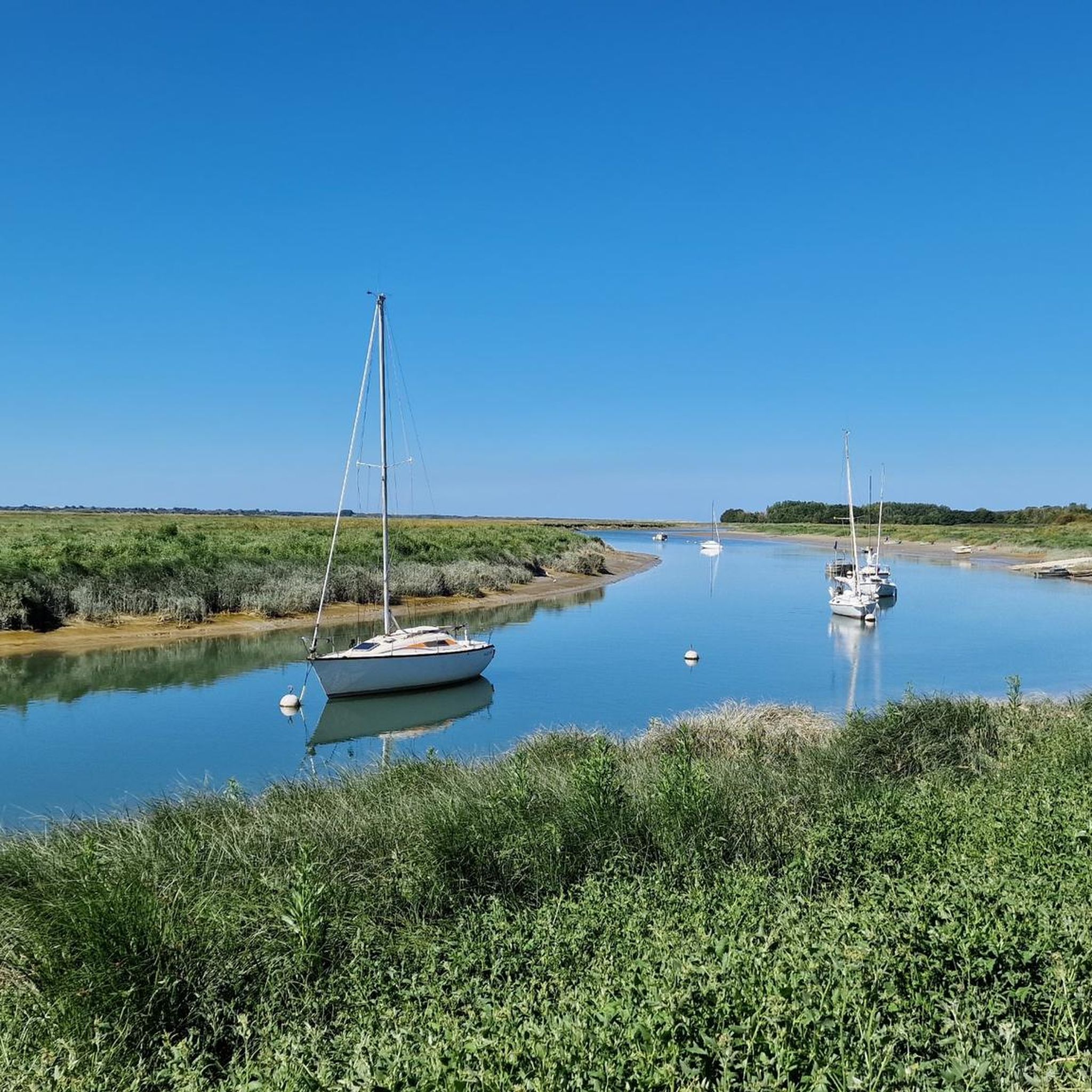
The port of La Madelon is a marina located on the Authie, near its mouth at the bottom of the Bay of Authie[1]; the location of the port, in the place called "La Madelon", is shared between the communes of Waben and Groffliers, in the department of Pas-de-Calais.
0
0
Easily navigable, highly recommended
1
0
The Canche (Dutch: Kwinte) is a river in France, flowing through the Pas-de-Calais department in the Hauts-de-France region. It originates in the Ternois region, within the commune of Gouy-en-Ternois. Initially flowing southeast, it then turns northwest and, after approximately 100 kilometers, empties into the English Channel as an estuary north of Étaples and Le Touquet-Paris-Plage. Here, the Canche is strongly influenced by the tides. This results in significant fluctuations in the river's water level and the formation of extensive salt marshes.
0
0

Go and have a look at low tide, when the oxen and horses are close by
0
0

Beautiful. Even more beautiful during the week. And in the late afternoon.
0
0
レピーヌでのの人気観光スポット

komootモバイルアプリでインスピレーションを得よう


さらに探索
他の地域の最高のロードサイクリングルートを見てみましょう。
