モリーゼのおすすめランニングルート
4.5
(21)
2,005
ランナー
149
ランニング
モリーゼでランニングを楽しめば、このエリアをより深く知ることができます。ランニングに適した美しいルートが見つかるように、komootがモリーゼでのルートのコレクション全体を評価して選び抜いた、人気ランニングトレイルをご紹介します。ルートをクリックして詳細を表示し、他のユーザーがアップロードした役立つ情報や写真を閲覧しましょう。
最終更新日: 10月 10, 2026
3
ランナー
13.2km
02:34
1,000m
1,000m
難しいジョギング. 標準以上のフィットネスレベルが必要です。 安定して歩行できる技術、丈夫な靴、高標高地での登山経験が必要です。
3
ランナー
4.83km
00:30
40m
40m
初級者向けランニング. あらゆるフィットネスレベルに適しています。 全般的に舗装された状態です。あらゆるスキルレベルに適しています。

3
ランナー
14.6km
02:03
650m
650m
難しいジョギング. 標準以上のフィットネスレベルが必要です。 全般的に舗装された状態です。あらゆるスキルレベルに適しています。
4
ランナー
9.00km
01:34
620m
620m
難しいジョギング. 標準以上のフィットネスレベルが必要です。 安定して歩行できる技術、丈夫な靴、高標高地での登山経験が必要です。
1
ランナー
5.01km
00:34
130m
130m
中程度のジョギング. ある程度のフィットネスレベルが必要です。 全般的に舗装された状態です。あらゆるスキルレベルに適しています。
3
ランナー
13.6km
01:45
400m
400m
難しいジョギング. 標準以上のフィットネスレベルが必要です。 全般的に舗装された状態です。あらゆるスキルレベルに適しています。
1
ランナー
9.37km
01:20
380m
380m
難しいジョギング. 標準以上のフィットネスレベルが必要です。 安定して歩行できる技術、丈夫な靴、高標高地での登山経験が必要です。
1
ランナー
4.21km
00:30
90m
90m
初級者向けランニング. あらゆるフィットネスレベルに適しています。 全般的に舗装された状態です。あらゆるスキルレベルに適しています。
7.05km
00:57
210m
210m
中程度のジョギング. ある程度のフィットネスレベルが必要です。 全般的に舗装された状態です。あらゆるスキルレベルに適しています。
8.70km
01:04
300m
300m
難しいジョギング. 標準以上のフィットネスレベルが必要です。 全般的に舗装された状態です。あらゆるスキルレベルに適しています。
さらに多くのルートや他のユーザーのおすすめ情報を確認できます。
すでにアカウントをお持ちですか?
おすすめのツアーは他のkomootユーザーが実際に経験した何千ものアクティビティに基づいています。


コミュニティからのヒント

A short hike with no particular difficulties. The trailhead from Campitello Matese is unmarked and difficult to identify. The trail itself is poorly marked. For those like me who'd never done it, it's essential to follow the trail on an app or similar. The descent was made by descending from the chairlift side (which doesn't operate and doesn't appear to be in operation anymore), then descending along the ski slope, which halfway through features a barbed wire barrier (!) that I had to cross.
0
0

The Sant'Egidio refuge is an alpine structure located in Molise, at around 1,100 meters above sea level, surrounded by beech forests on the north-eastern side of the Matese, above the town of Bojano. Nearby is the hermitage of the same name and the Fosso Colle Mancini. The hermitage of Sant'Egidio is an ancient monastery consisting of a single nave church with a statue of the saint. It was founded by the Cistercians or Templars in the 9th century and restored in the 20th century. The paths to reach this place are very easy to follow by running, and this location is an excellent stopping point for exploring the Matese.
1
0

From the chalet at the top of the chairlift, you can enjoy a breathtaking view as far as the Campanian Islands!
0
0
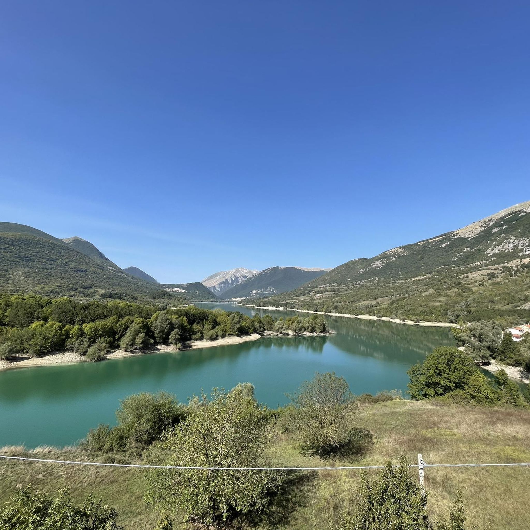
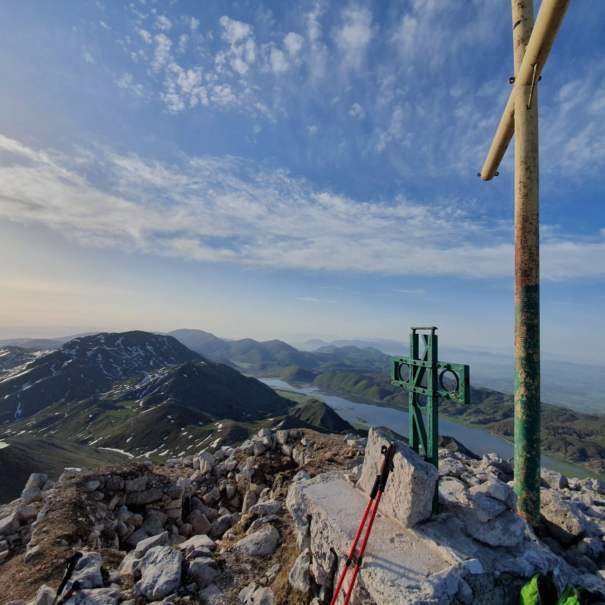
Mount Miletto (2,050 meters above sea level) straddles Campania and Molise and offers a 360° view of the Apennines, Lake Matese and the Mediterranean Sea in the distance.
0
0

From the summit 2050 MT. you can sense the curvature of blue ozone 🌍
0
0

The hermitage of Sant'Egidio is an ancient monastery on the north-eastern side of the Matese above the town of Bojano. It consists of a church with a single nave with a statue of the saint and is flanked by a mountain refuge equipped with picnic tables and a spring for water.
2
0
The panoramic terrace of Civita Superiore is a belvedere on the edge of the village from where you can admire the plain of Bojano and the Matese massif. Civita Superiore is an ancient and fortified village that still retains part of the walls and the Rocca dei Pandone, the castle that overlooked the town.
1
0

komootモバイルアプリでインスピレーションを得よう


さらに探索
他の地域の最高のランニングトレイル & ルートを見てみましょう。
