タバルツのおすすめ登山&山歩きルート
4.8
(6)
42
ハイカー
3
ハイキング
ゴータの山々をもっと探索しませんか?このガイドでご紹介するのは、komootがタバルツでの登山&山歩きのコレクション全体を評価して選び抜いた、このエリアの人気ルートです。あなたに合ったルートを見つけるには、他のユーザーがアップロードした役立つ情報や写真を閲覧し、クリック操作で簡単に表示できる詳細なデータを参考にしましょう。タバルツでの次の冒険にぴったりの登山&山歩きルートが見つかるはずです。
最終更新日: 11月 1, 2026
4.8
(6)
30
ハイカー
8.59km
02:53
330m
330m
中程度の登山ルート. ある程度のフィットネスレベルが必要です。 ほとんどが歩ける道です。足元への注意が必要です。
11
ハイカー
6.49km
01:52
160m
160m
初級者向け登山ルート. 歩きやすい道です。

15.6km
04:26
360m
360m
中程度の登山ルート. ある程度のフィットネスレベルが必要です。 歩きやすい道です。
1
ハイカー
5.88km
01:38
100m
100m
初級者向け登山ルート. 歩きやすい道です。
おすすめのツアーは他のkomootユーザーが実際に経験した何千ものアクティビティに基づいています。
無料アカウントで今日から始めよう
次の冒険が待っています。
タバルツ周辺で人気
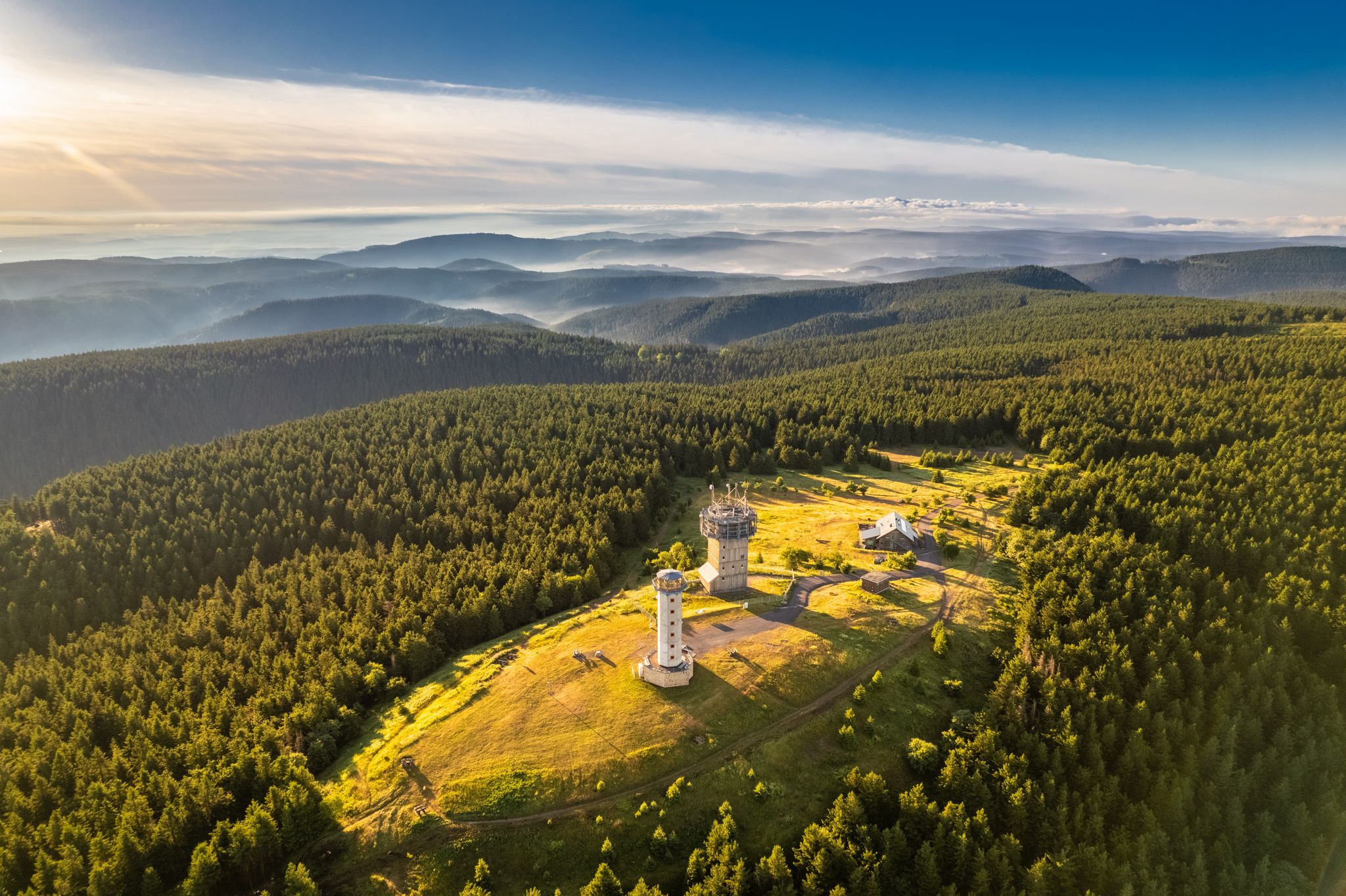
Forest, vastness and water – day trips in the Thuringian Forest
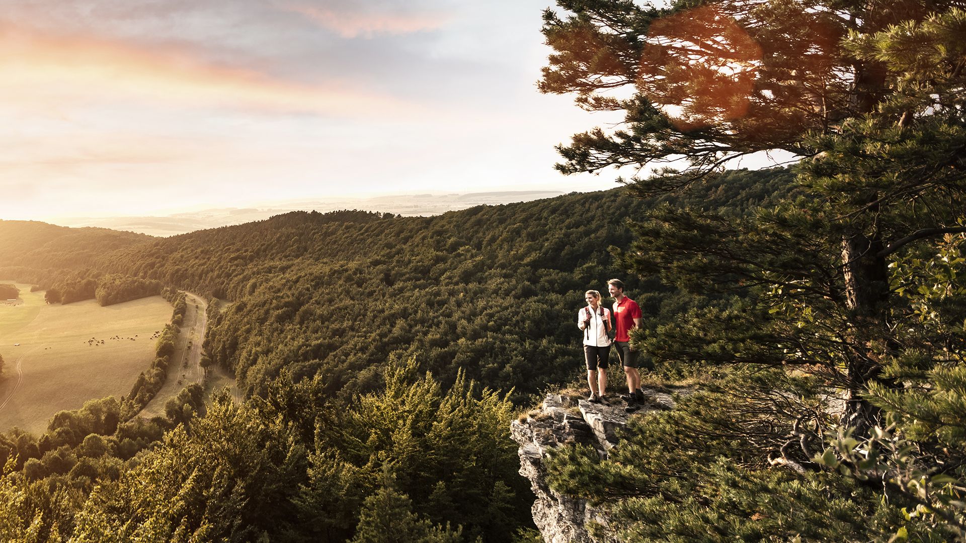
Spend time outdoors – active hikes in Germany’s Thuringia
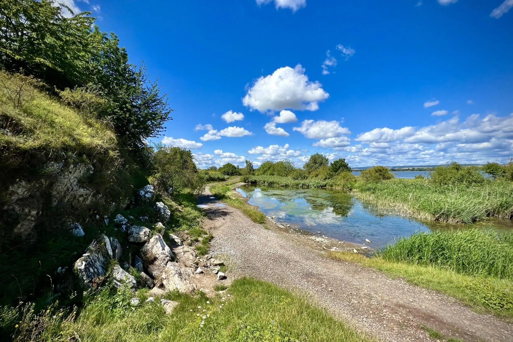
Die Nationalen Naturlandschaften in Thüringen

Mountainbike Rundstrecken Thüringer Wald mit Community Paten
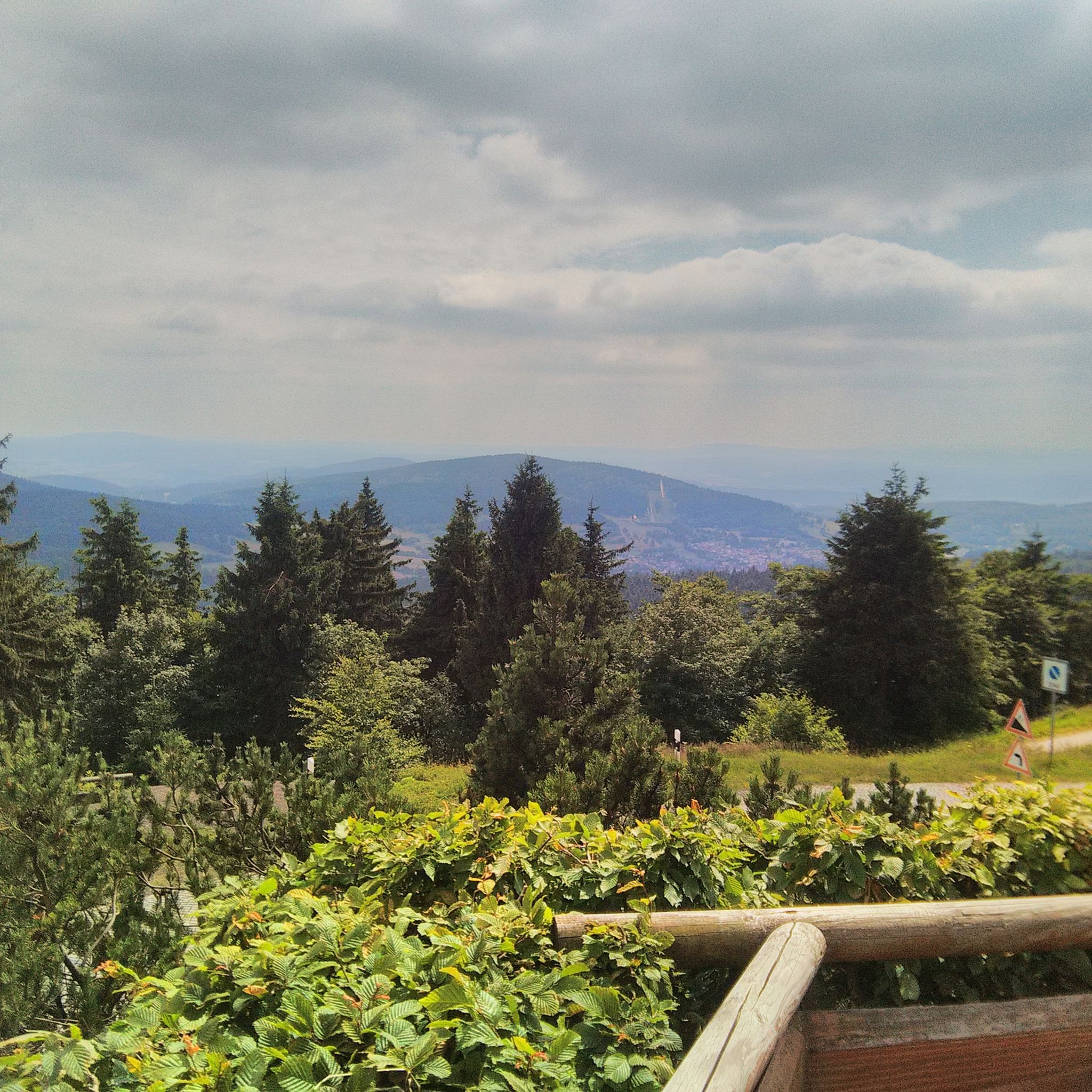
タバルツでのハイキング
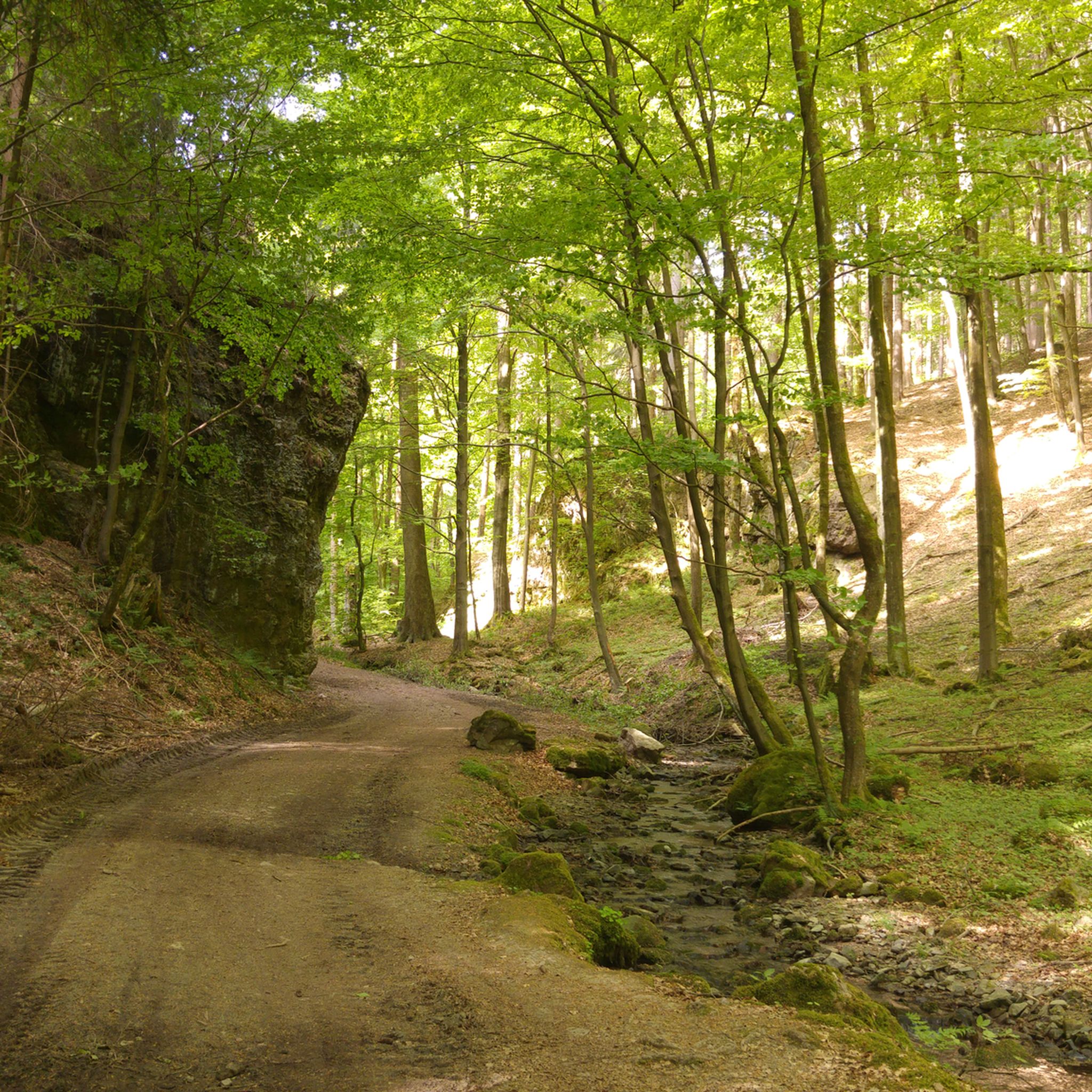
タバルツのMTBトレイル
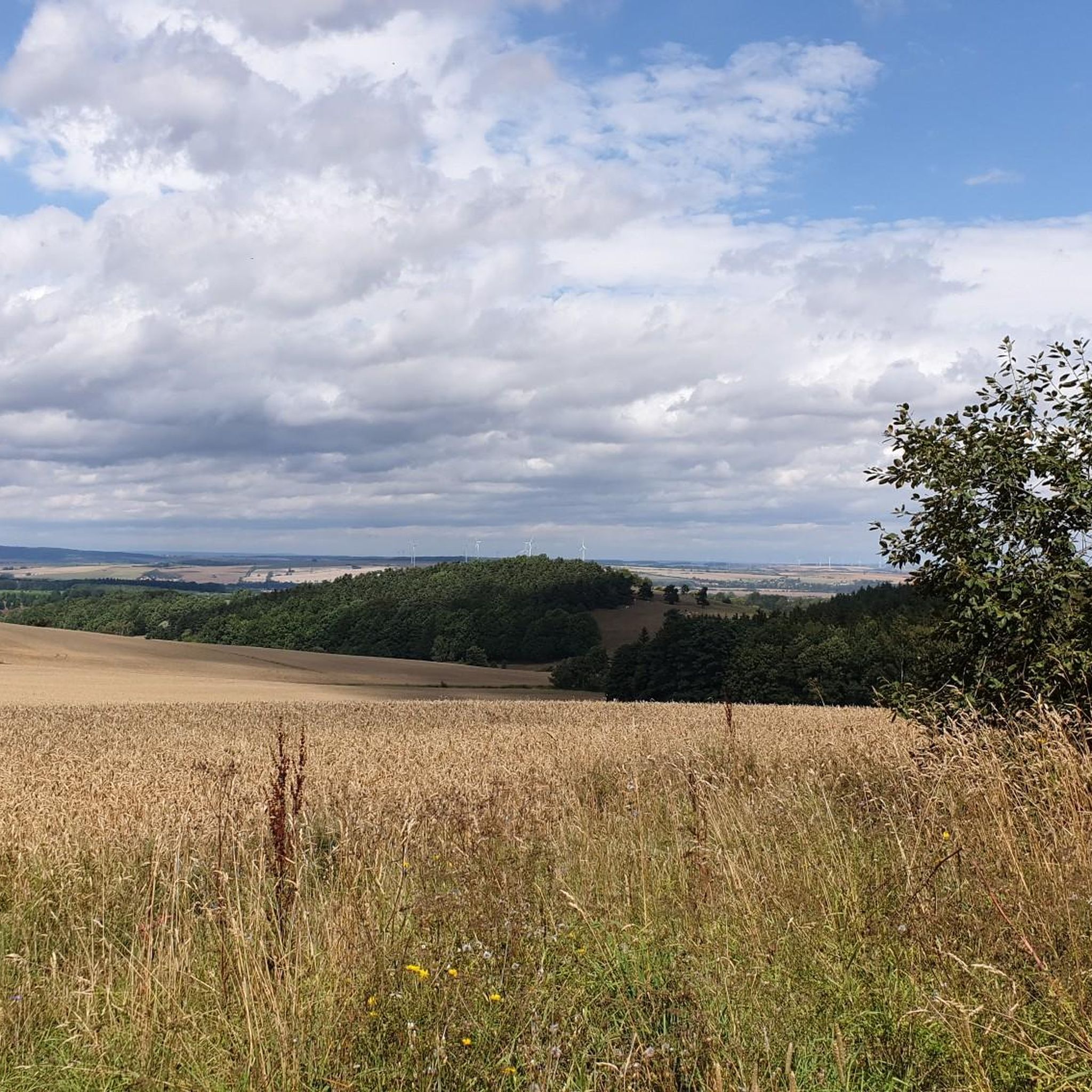
タバルツでのサイクリング
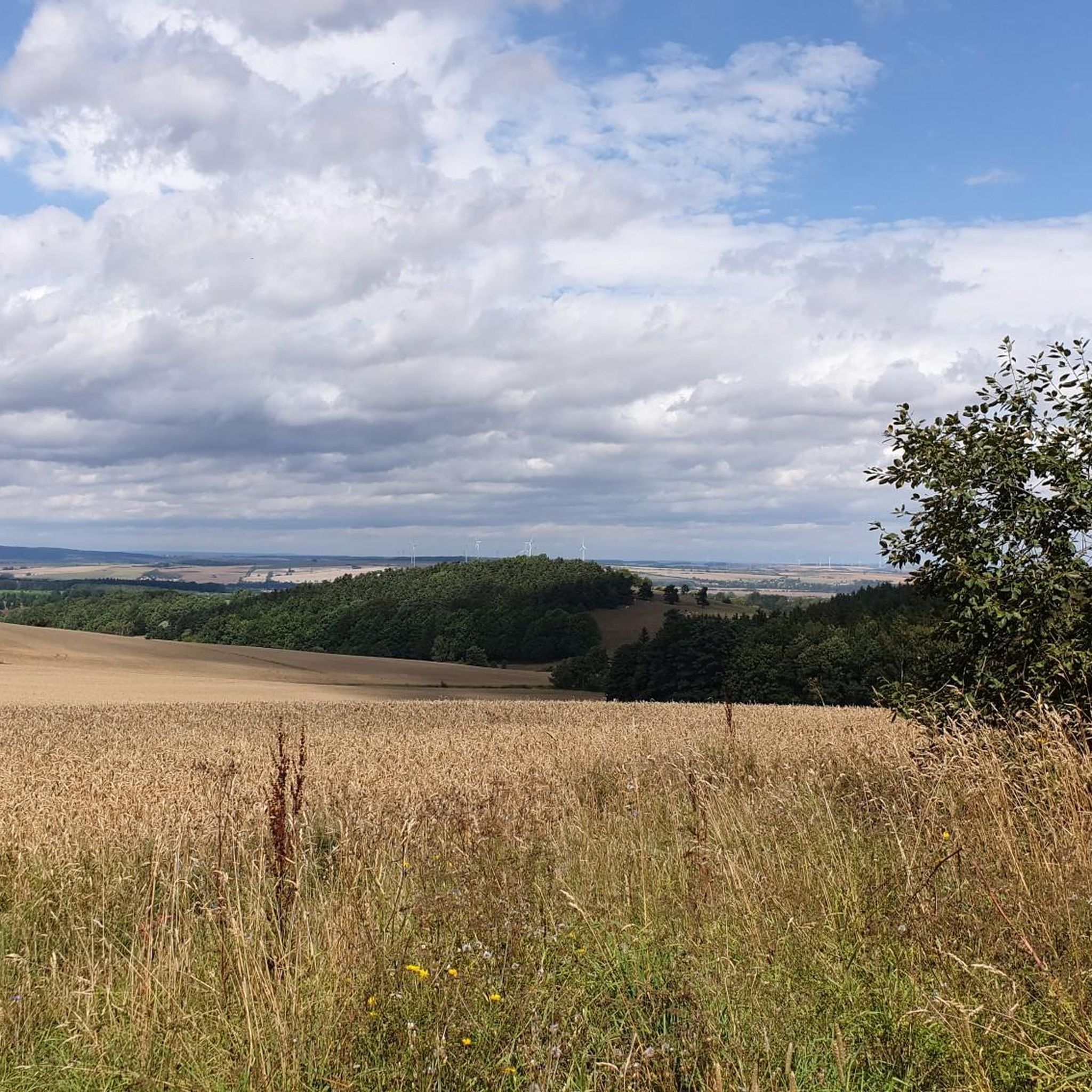
タバルツのロードバイクルート

タバルツのランニングコース

タバルツでののグラベルライド
タバルツでのの他の冒険


コミュニティからのヒント

「ノイエ・アウスパンネ」はテューリンゲン森林の中心的な結節点であり、シュマルカルデンとタンバッハ=ディータース間の州道L1028がレンンシュタイク高地ハイキングコースと直接交差しています。標高約714メートルに位置し、オーバーホーフ近郊のグレンツァドラーまでの約14キロメートルのレンンシュタイクハイキング(第3ステージ)の完璧な出発点となります。
6
0


From this stop on the Thuringian Forest Railway (Line 4), it's just 200 meters to the Marienglashöhle (Marienglas Cave). Guided tours are offered hourly and are very interesting.
0
0

The climb is worth it…
0
0


Here you can cool your feet in the water after a hike. There's also a barefoot path on the grounds, and you can also see dinosaurs here...a place to relax and unwind...
3
0

Even in the 19th century, the Rennsteig was the official border between small central German states over long stretches (Hesse and Thuringia). The area north of the ridge path between Inselberg and Oberhof belonged to the Duchy of Saxe-Coburg and Gotha. (1826) The southern territory of the later Schmalkalden district was an exclave of the Electorate of Hesse-Kassel (since 1803), which became Prussian as a result of the war of 1866. The intersections of the Schmalkaldic border with main roads were marked with the Prussian eagle, which became known as the "border eagle".
0
0

Ideal for a short rest
0
0

komootモバイルアプリでインスピレーションを得よう


さらに探索
他の地域の最高の登山ハイキング & ルートを見てみましょう。
