Zaman çizelgesi
Westerwald-Sieg ve Westerwald - Die Urlaubsregion bir yürüyüş planladı
30 Haziran 2021
Süre
Mesafe
Hız
Çıkış
İniş
Westerwald-Sieg ve Westerwald - Die Urlaubsregion bir yürüyüş planladı
30 Haziran 2021
Süre
Mesafe
Hız
Çıkış
İniş
30 Haziran 2021
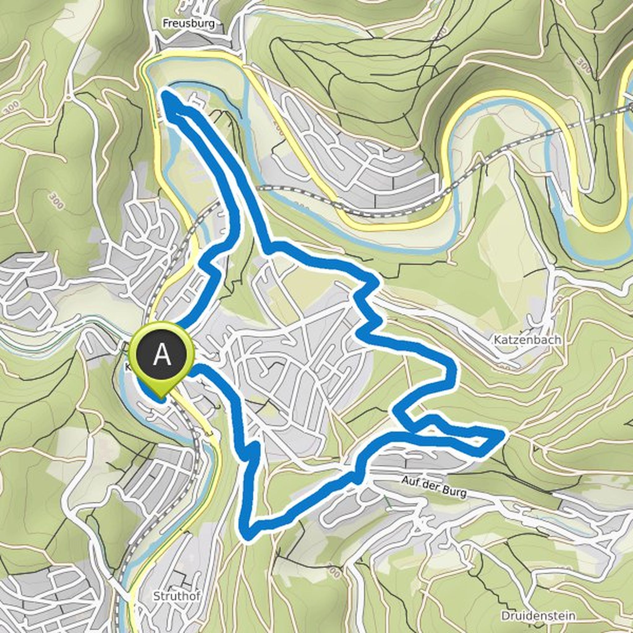
Once around the city churches. In a nutshell, this is how the ten-kilometer Ottoturm circular route runs. It leads you over forest and meadow paths, but also partly through the city itself. The highlight of this tour is the Ottoturm observation tower. Climbing the 102 steps is worthwhile, because here
Çeviren Google •
Westerwald-Sieg ve Westerwald - Die Urlaubsregion bir yürüyüş planladı
30 Haziran 2021
Süre
Mesafe
Hız
Çıkış
İniş
30 Haziran 2021
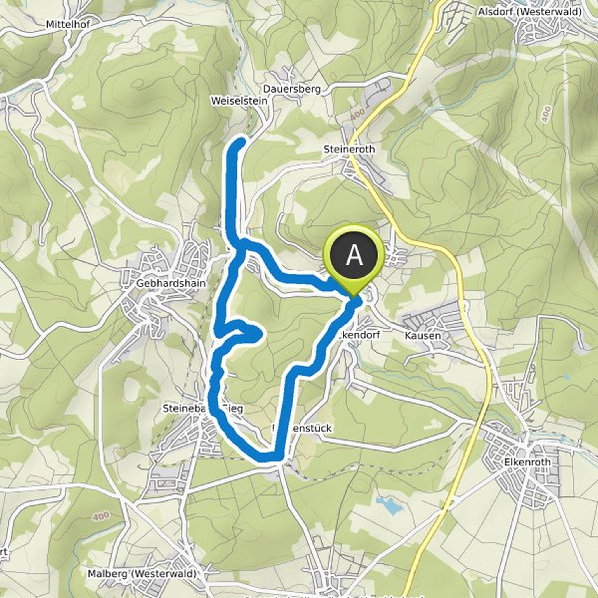
A black mill wheel on a white background accompanies you as a trail marker on the approximately eleven kilometer circular mill path. You will not only pay a visit to two still functional mills, but also discover the tranquil Elbbachtal and get to know a former mine.
You start your hiking tour from the
Çeviren Google •
Westerwald-Sieg bir bisiklet sürüşü planladı
30 Mart 2021
Süre
Mesafe
Hız
Çıkış
İniş
Westerwälder bunu beğendi.
30 Mart 2021
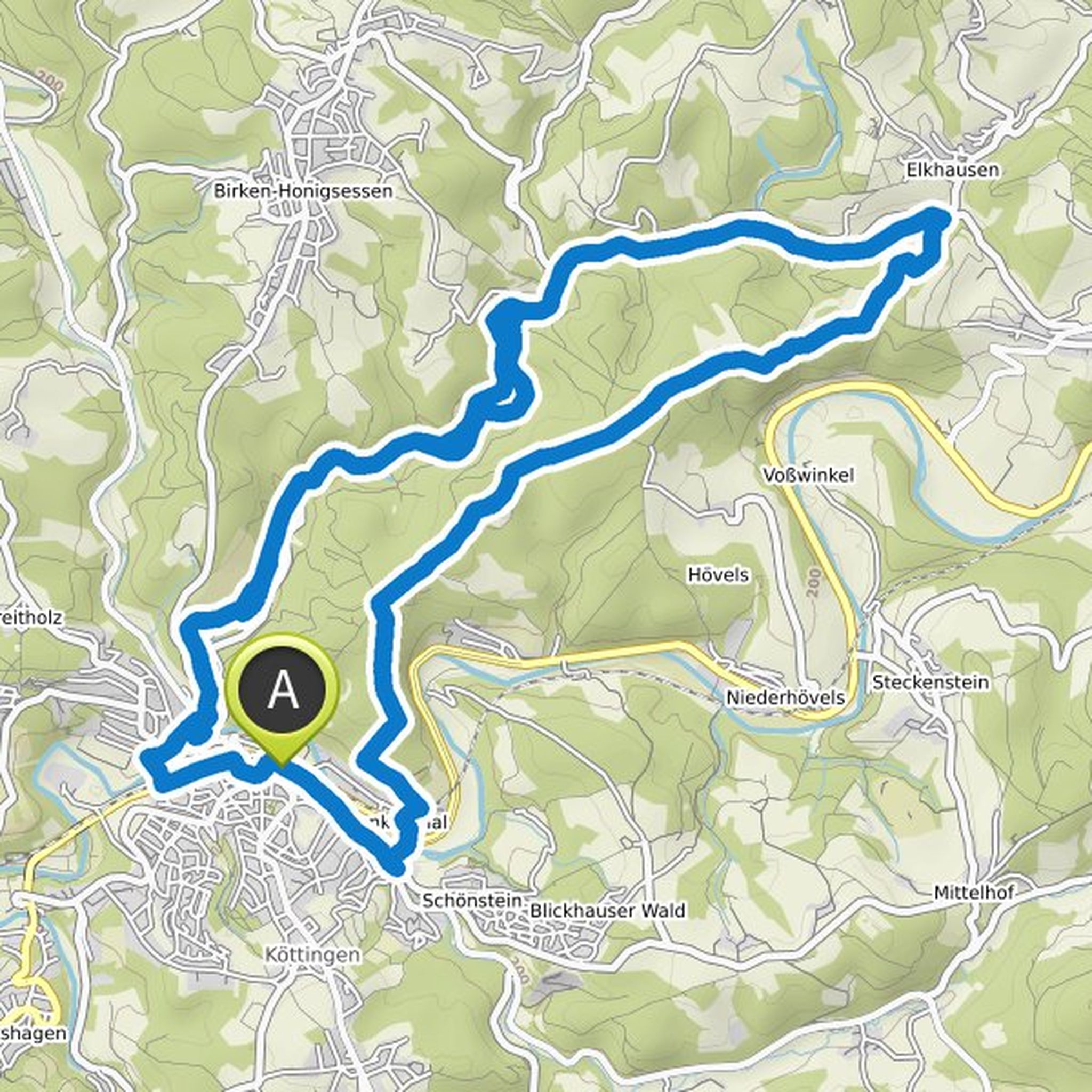
This tour is not signposted, you can find the gpx file here. Right at the beginning you master the ascent to the Kucksberg. The effort is rewarded with a magnificent view. You can descend into the Brölbachtal via the "Alte Post" high-speed route, which gives this tour its name. Listen to the babbling
Çeviren Google •
Westerwald-Sieg bir bisiklet sürüşü planladı
30 Mart 2021
Süre
Mesafe
Hız
Çıkış
İniş
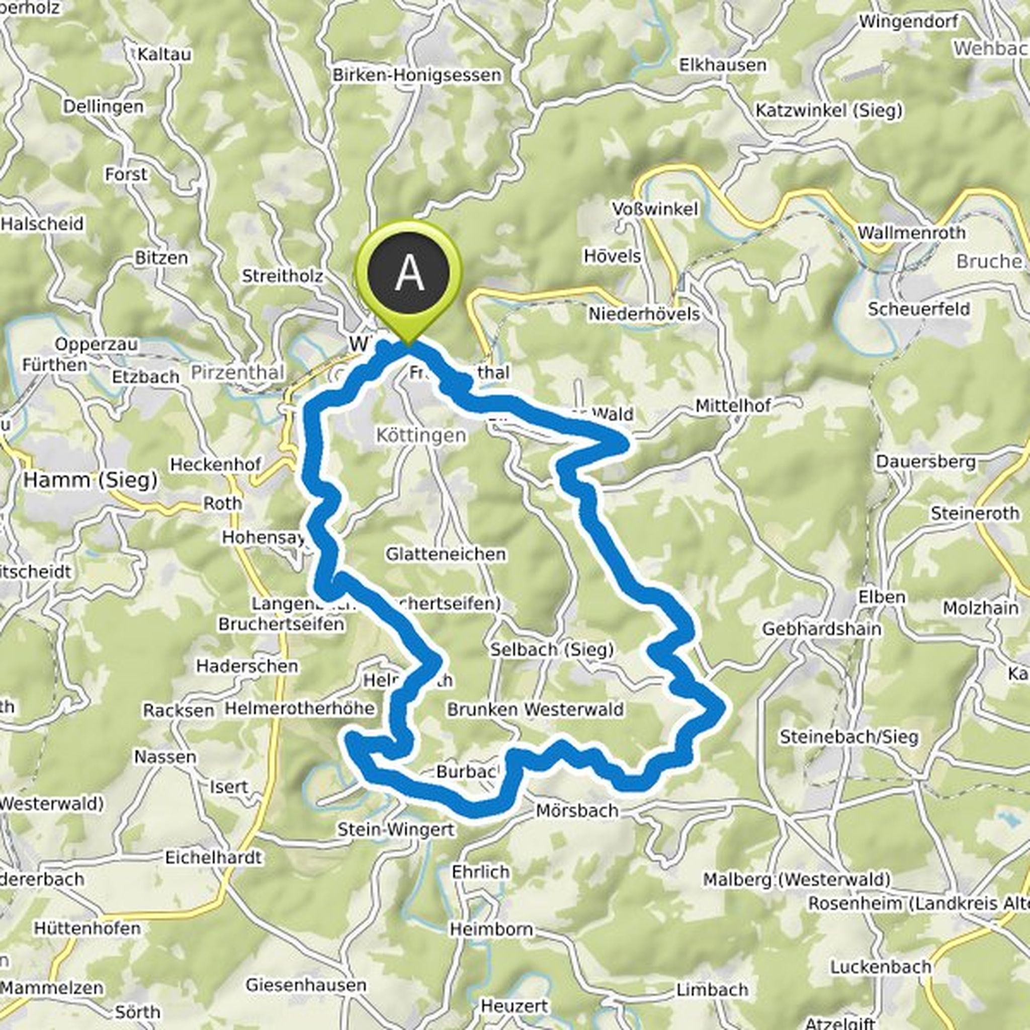
30 Mart 2021
This tour is a real insider tip. The route is not signposted, you can get the gpx track here. About half of the tour takes you on forest roads. It starts in Wissen, not far from the historic Schönstein Castle. You cycle through the enchanting Nistertal to the mountain hills of Kroppacher Switzerland
Çeviren Google •
Westerwald-Sieg bir dağ bisikleti sürüşü planladı
30 Mart 2021
Süre
Mesafe
Hız
Çıkış
İniş
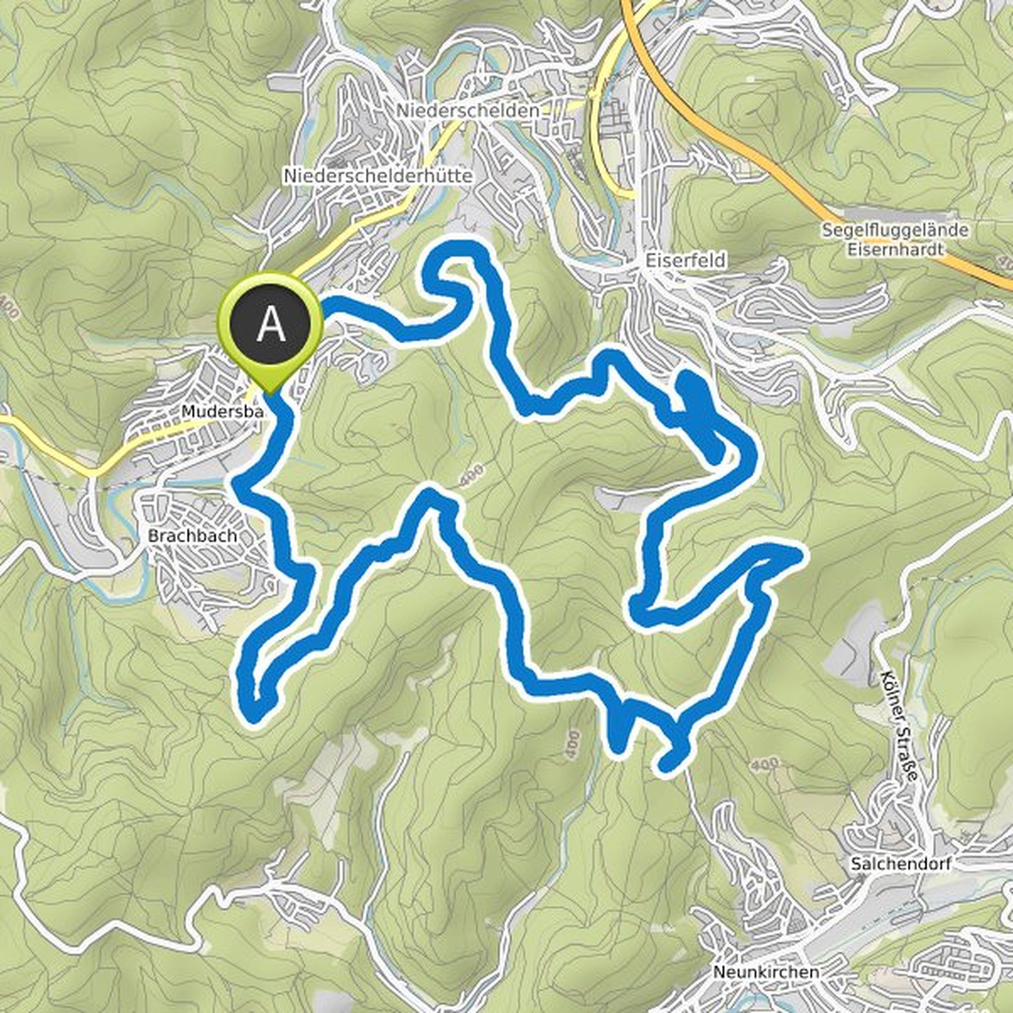
30 Mart 2021
Immerse yourself in the history of mining in the region on your mountain bike. The tour is not signposted, you can get the gpx track here.
It starts in Mudersbach, time and again you discover disused tunnel entrances in a fascinating landscape. You can visit the former Josefglück gallery after registering
Çeviren Google •
Westerwald-Sieg bir yürüyüş planladı
29 Mart 2021
Süre
Mesafe
Hız
Çıkış
İniş
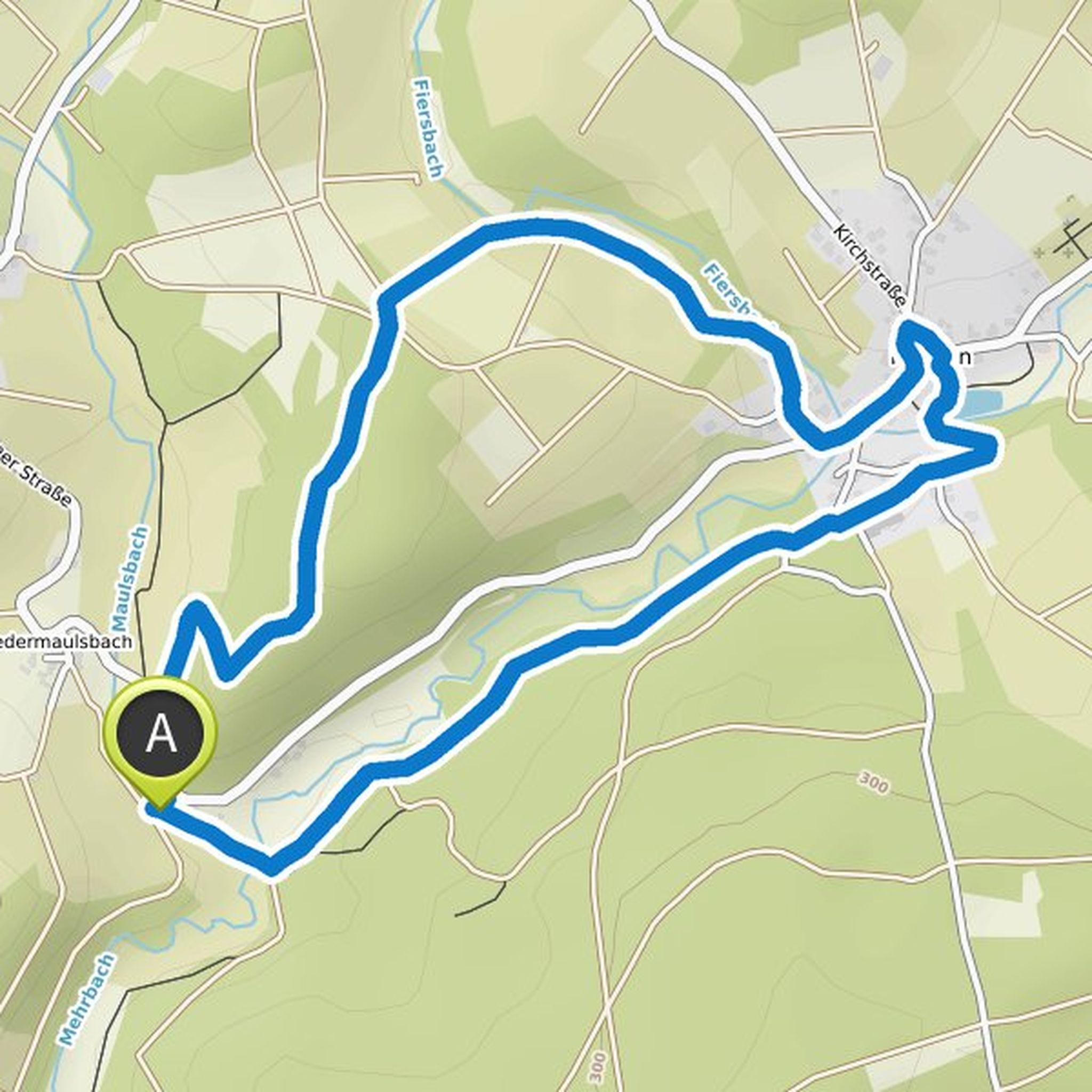
29 Mart 2021
The Kleiner Wäller “Sagenweg” theme trail leads you around Mehren through the romantic Mehrbachtal. Along the way, themed panels explain the Westerwald legends that play in this region. The tour runs mostly on wide forest and field paths and in the village of Mehren on well-developed roads. The half
Çeviren Google •
Westerwald-Sieg bir yürüyüş planladı
29 Mart 2021
Süre
Mesafe
Hız
Çıkış
İniş
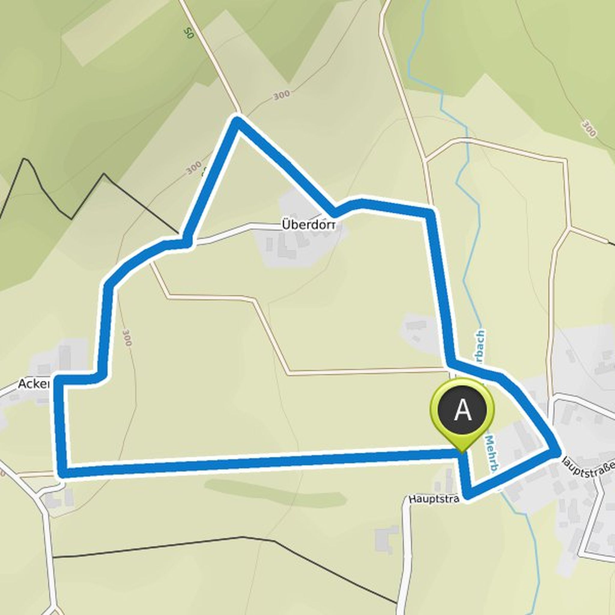
29 Mart 2021
The Kleine Wäller “Path of the Senses” in Werkhausen is ideal for families with children. The route runs over tarred paths, field and meadow paths and offers beautiful views again and again. There is a lot to discover along the way. On the 2.2 km short path, young and old researchers can test all their
Çeviren Google •
Westerwald-Sieg ve Naturregion Sieg bir yürüyüş planladı
29 Mart 2021
Süre
Mesafe
Hız
Çıkış
İniş
29 Mart 2021
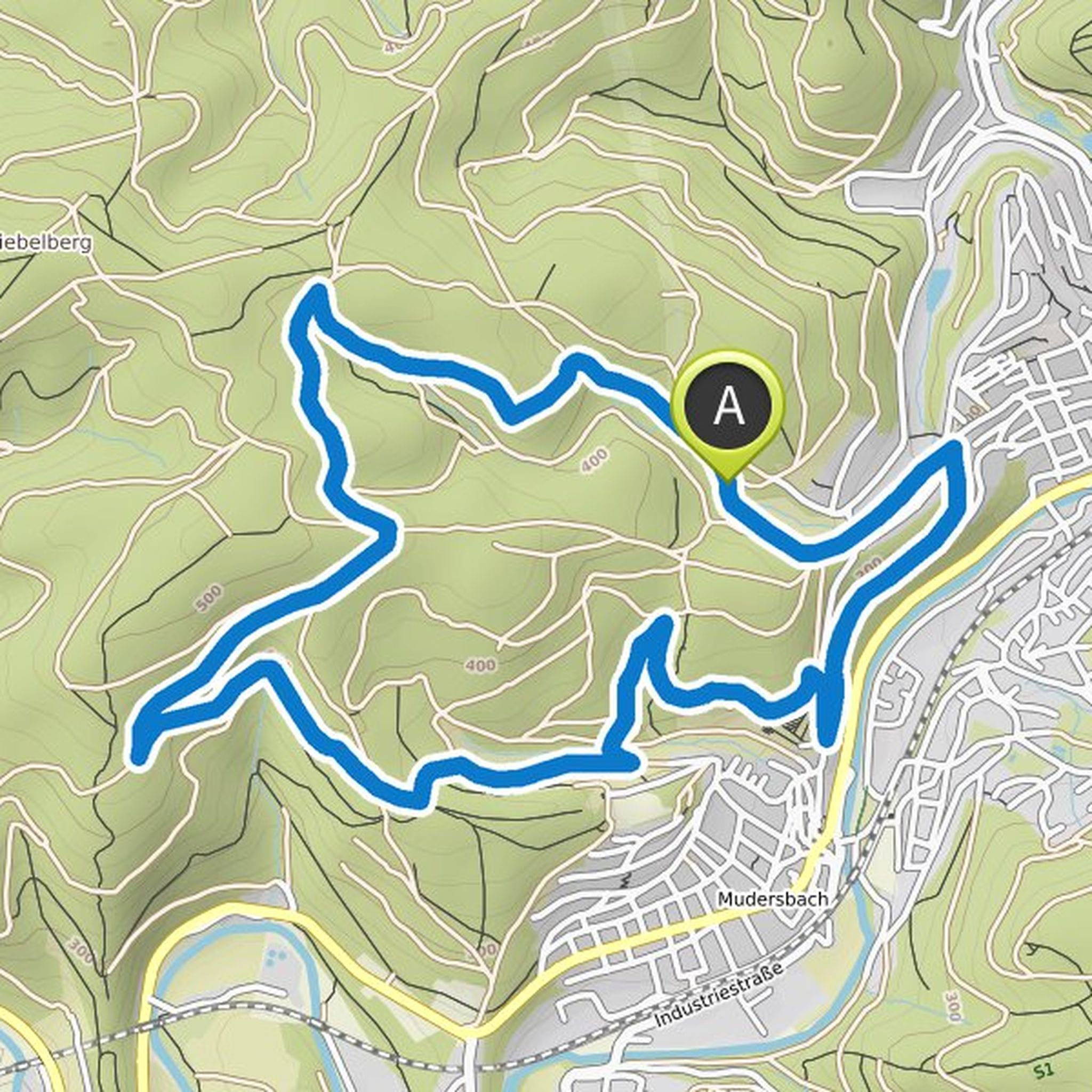
You will discover mining, beer and giant trees on the challenging 12 kilometer long Erzquellweg in Mudersbach. Through the gable forest it goes to the ore spring tunnel. The Erzquell brewery located in the village has been brewing beer with this water since 1885. The path leads again and again to relics
Çeviren Google •
Westerwald-Sieg ve Naturregion Sieg bir yürüyüş planladı
29 Mart 2021
Süre
Mesafe
Hız
Çıkış
İniş
29 Mart 2021
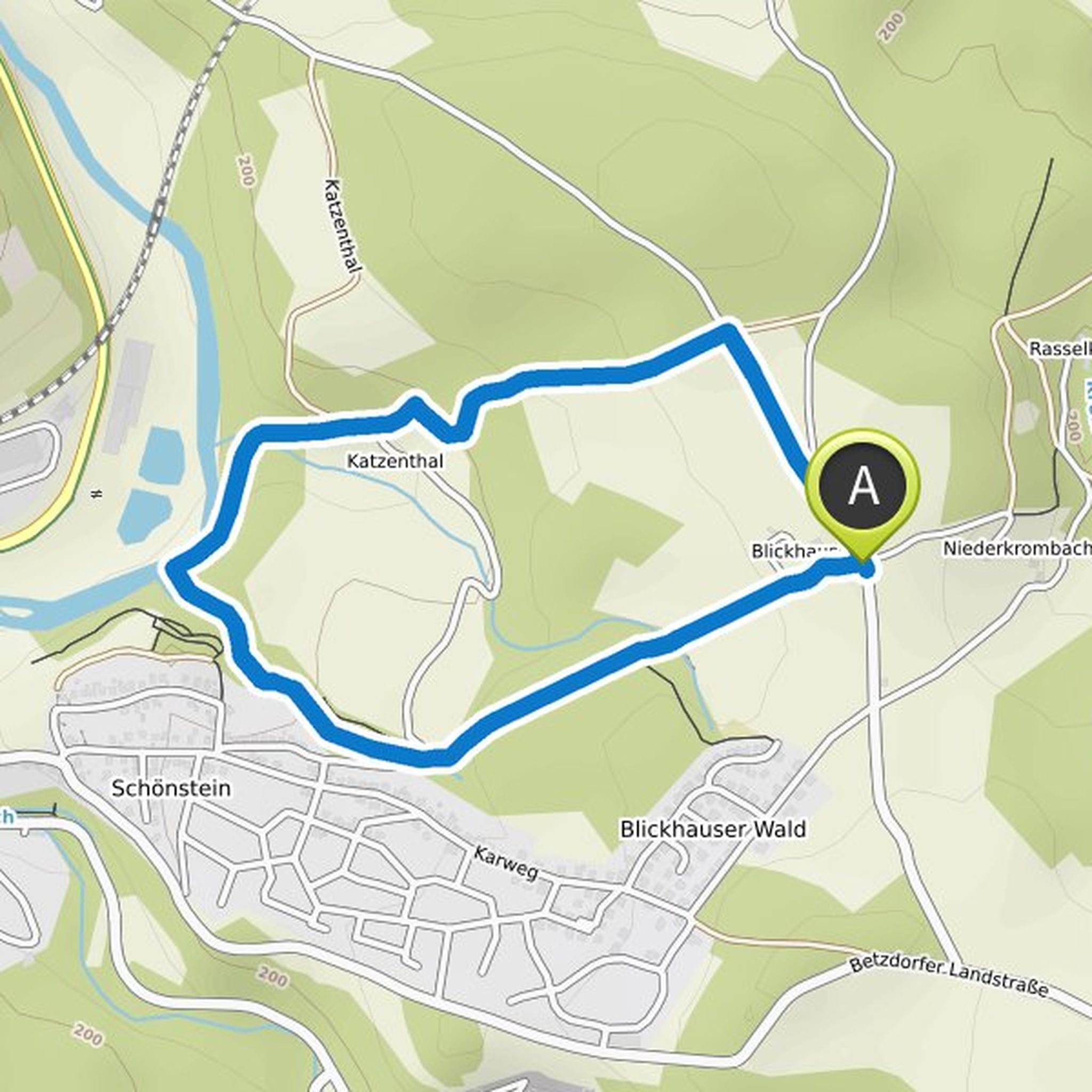
There are many carved wooden figures on the 3-kilometer circular route, reminiscent of the fantastic mythical creatures from the novels by J.R.R. Tolkien remember, discover. The mystical forests, narrow paths above the Sieg and wide meadow landscapes seem like from another world - and give the mythical
Çeviren Google •
Westerwald-Sieg ve Naturregion Sieg bir yürüyüş planladı
29 Mart 2021
Süre
Mesafe
Hız
Çıkış
İniş
29 Mart 2021
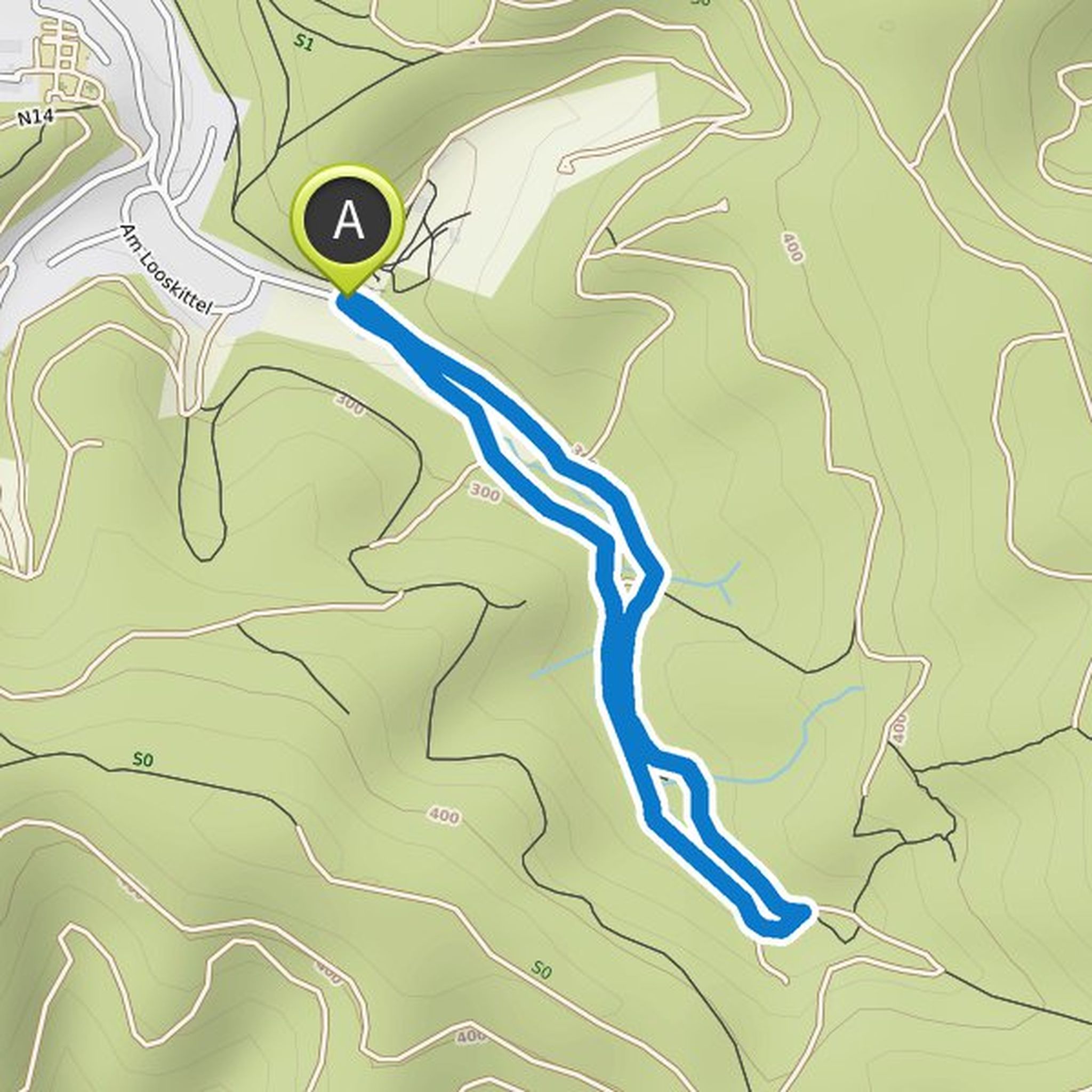
This great hike is all about the imposing little squirrel. The scenic, four-kilometer squirrel trail starts at the Niederfischbach zoo. The tour is specially designed for families with children and can also be walked with a stroller. On the information boards you can find out a lot of interesting facts
Çeviren Google •
Westerwald-Sieg ve Naturregion Sieg bir yürüyüş planladı
29 Mart 2021
Süre
Mesafe
Hız
Çıkış
İniş
29 Mart 2021
This 2.9-kilometer path runs through the spa forest of the Cologne Archdiocese and through the monastery village of Marienthal. Signs along the way provide information about the origins of the veneration of Mary in Marienthal. The Marienthal Monastery is still a well-known place of pilgrimage today
Çeviren Google •
Westerwald-Sieg ve Naturregion Sieg bir yürüyüş planladı
29 Mart 2021
Süre
Mesafe
Hız
Çıkış
İniş
29 Mart 2021
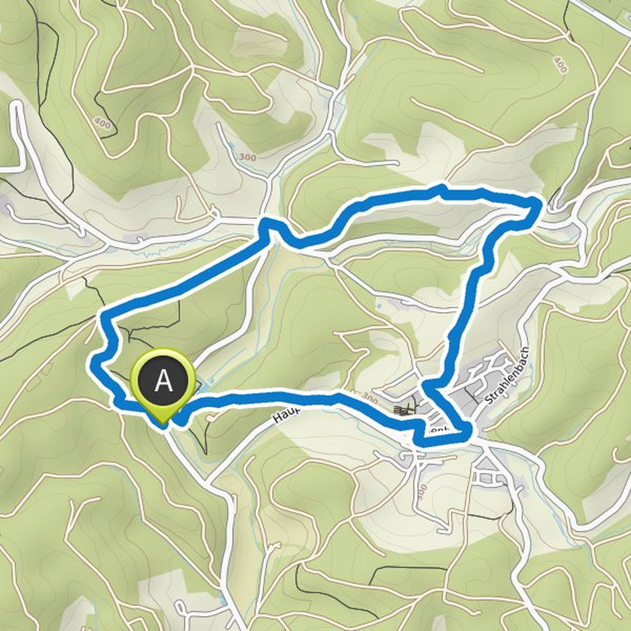
The Hexenweg in Wildenburger Land conveys a dark chapter of history over 7.9 kilometers. In the early modern period, the region around Wildenburg Castle with the Friesenhagen parish was a stronghold of witch hunts. The memory of the time of the witch hunt in the region is still alive today. The red chapel
Çeviren Google •
Westerwald-Sieg ve Naturregion Sieg bir yürüyüş planladı
29 Mart 2021
Süre
Mesafe
Hız
Çıkış
İniş
29 Mart 2021
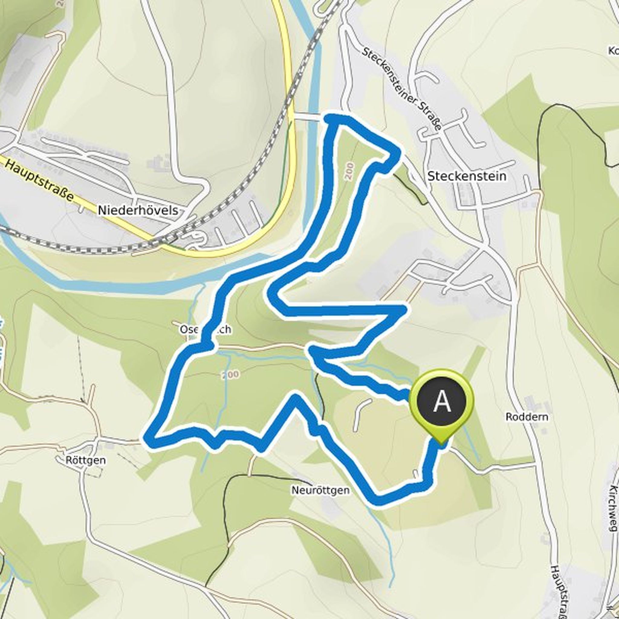
Adventurers big and small can find out on the robber trail whether you have what it takes to become a real robber. On the way, various tasks have to be solved in the forest before the robber's diploma is awarded at the campsite for the oak forest. The 4.6 km long path is a bit more demanding in some
Çeviren Google •
Westerwald-Sieg ve Naturregion Sieg bir yürüyüş planladı
29 Mart 2021
Süre
Mesafe
Hız
Çıkış
İniş
29 Mart 2021
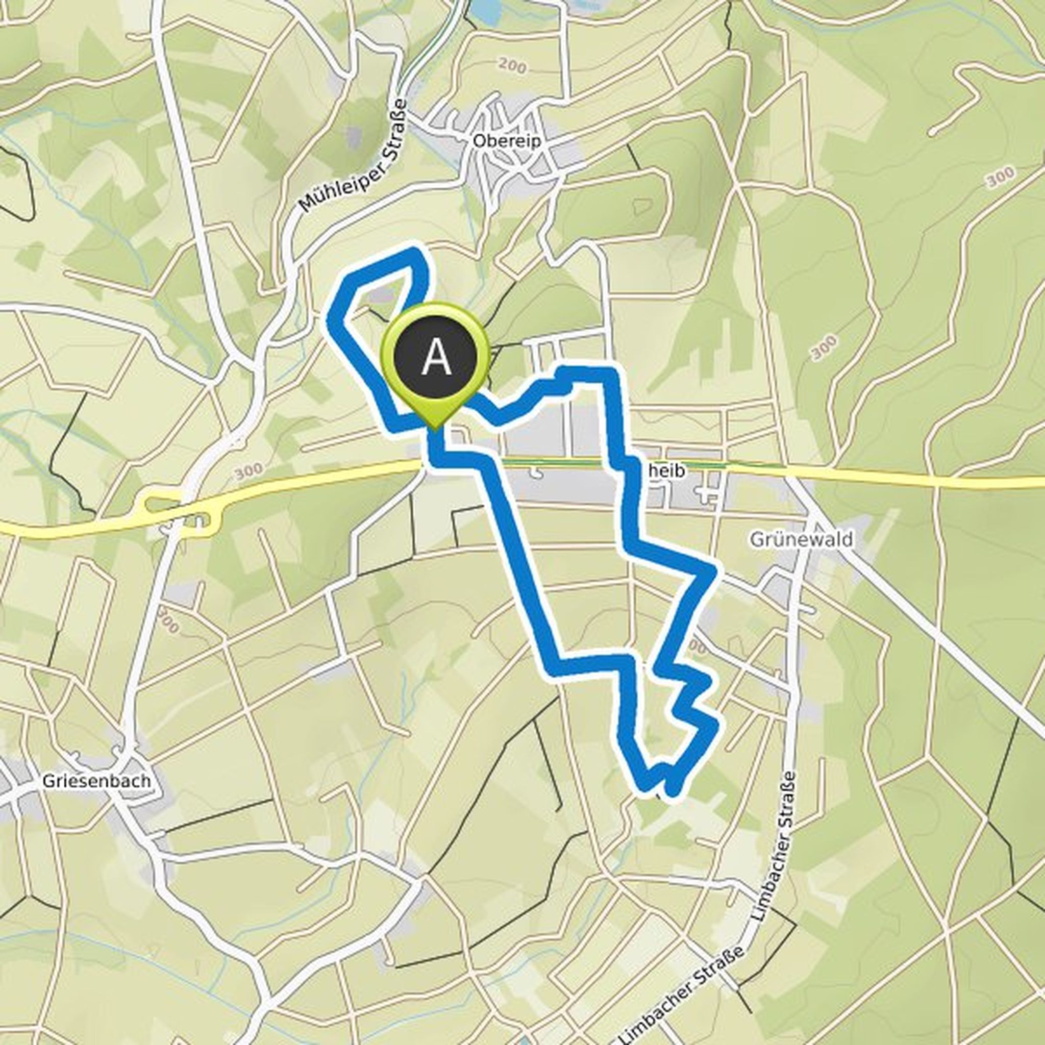
On this hike you can discover nature and history equally well: On this 6.3 kilometer hike, medieval ramparts, a moth and an old church testify to the region's long history of settlement around the village of Kircheib. The easy hike without major inclines takes you over meadow paths around and on asphalt
Çeviren Google •
30 Haziran 2021
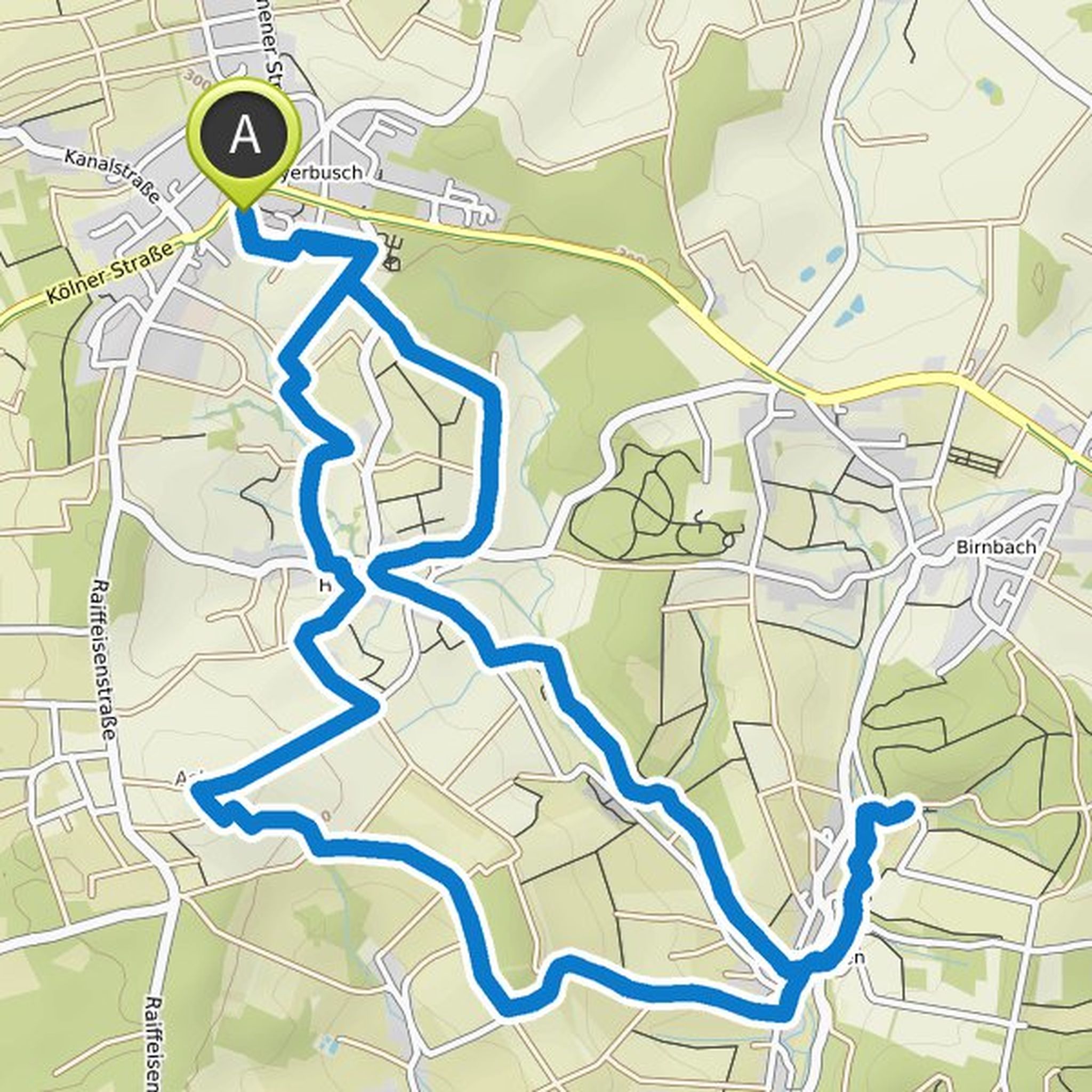
The name of this circular hiking trail south of Weyerbusch says it all. On the almost eleven kilometer long circular route, you not only expect great views from Asberg, the highest elevation of the circular route, but there are also countless opportunities to take a look at the idyllic and village-like
Çeviren Google •