Zaman çizelgesi
Steinplatte Waidring bir yürüyüş planladı
4 Haziran 2025
Süre
Mesafe
Hız
Çıkış
İniş
Steinplatte Waidring bir yürüyüş planladı
4 Haziran 2025
Süre
Mesafe
Hız
Çıkış
İniş
27 Temmuz 2021
This tour may look easy due to its length and duration, but should be enjoyed with caution: The Wieslochsteig, a section of the round, requires a little experience and at least surefootedness from you. The goal, the 1,869-meter-high summit of the Steinplatte, could hardly be more impressive.
The hiking
Çeviren Google •
Steinplatte Waidring bir yürüyüş planladı
4 Haziran 2025
Süre
Mesafe
Hız
Çıkış
İniş
27 Temmuz 2021
The Klemmerichsteig is popular among hikers and not without reason: It leads through a wild and romantic landscape from the Steinplatte to the Almenwelt Lofer. An experience that passionate mountain enthusiasts should not miss in this region.
Like all tours in this collection, this one starts at the mountain
Çeviren Google •
Steinplatte Waidring bir yürüyüş planladı
6 Ocak 2023
Süre
Mesafe
Hız
Çıkış
İniş
9 Ocak 2023
Instead of taking the gondola from Seegatterl up to the Winkelmoosalm, this winter hike, which is a good six kilometers long, takes you through snow-covered forest and meadow landscapes to the top on foot. It starts at the Seegatterl valley station.
First follow the summer path to the Winkelmoosalm and
Çeviren Google •
Steinplatte Waidring bir yürüyüş planladı
6 Ocak 2023
Süre
Mesafe
Hız
Çıkış
İniş
9 Ocak 2023
A short walk connects the mountain station of the Steinplatte gondola with the "Koralle" viewing platform on the Steinplatte. After you have relaxedly taken the gondola up the mountain from Waidring, you follow the short hiking trail over the Steinplatte and then past the Kammerköralm and the Triassic
Çeviren Google •
Steinplatte Waidring bir yürüyüş planladı
27 Temmuz 2021
Süre
Mesafe
Hız
Çıkış
İniş
27 Temmuz 2021
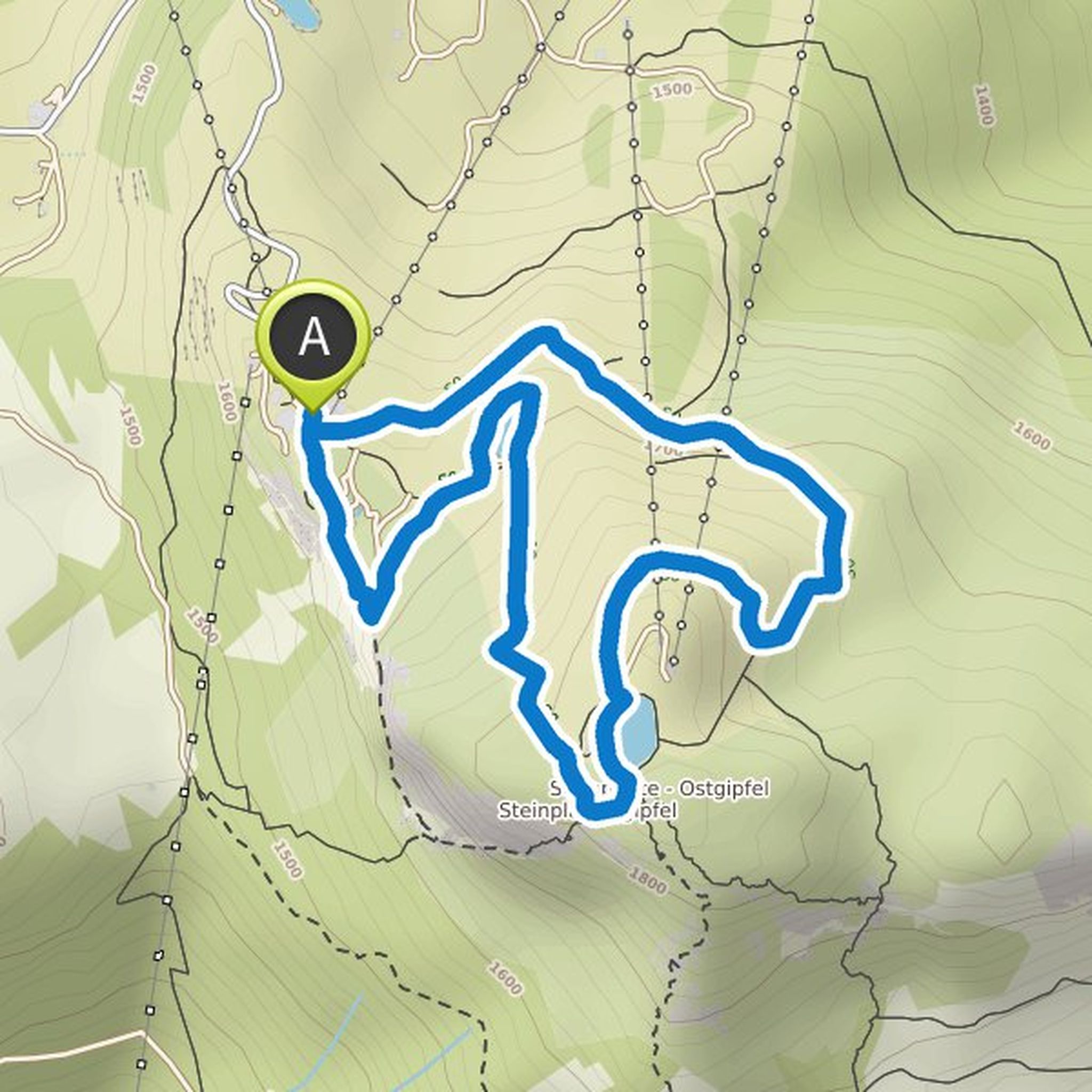
Dinosaurs in the mountains? Correctly seen: On the Triassic Trail at the Steinplattengipfel you can see the "terrible lizards" up close. The peaks of the Limestone Alps were located on the sea floor at the time of the dinosaurs and therefore you can discover a particularly large number of fossils here
Çeviren Google •
Steinplatte Waidring bir yürüyüş planladı
21 Temmuz 2021
Süre
Mesafe
Hız
Çıkış
İniş
27 Temmuz 2021
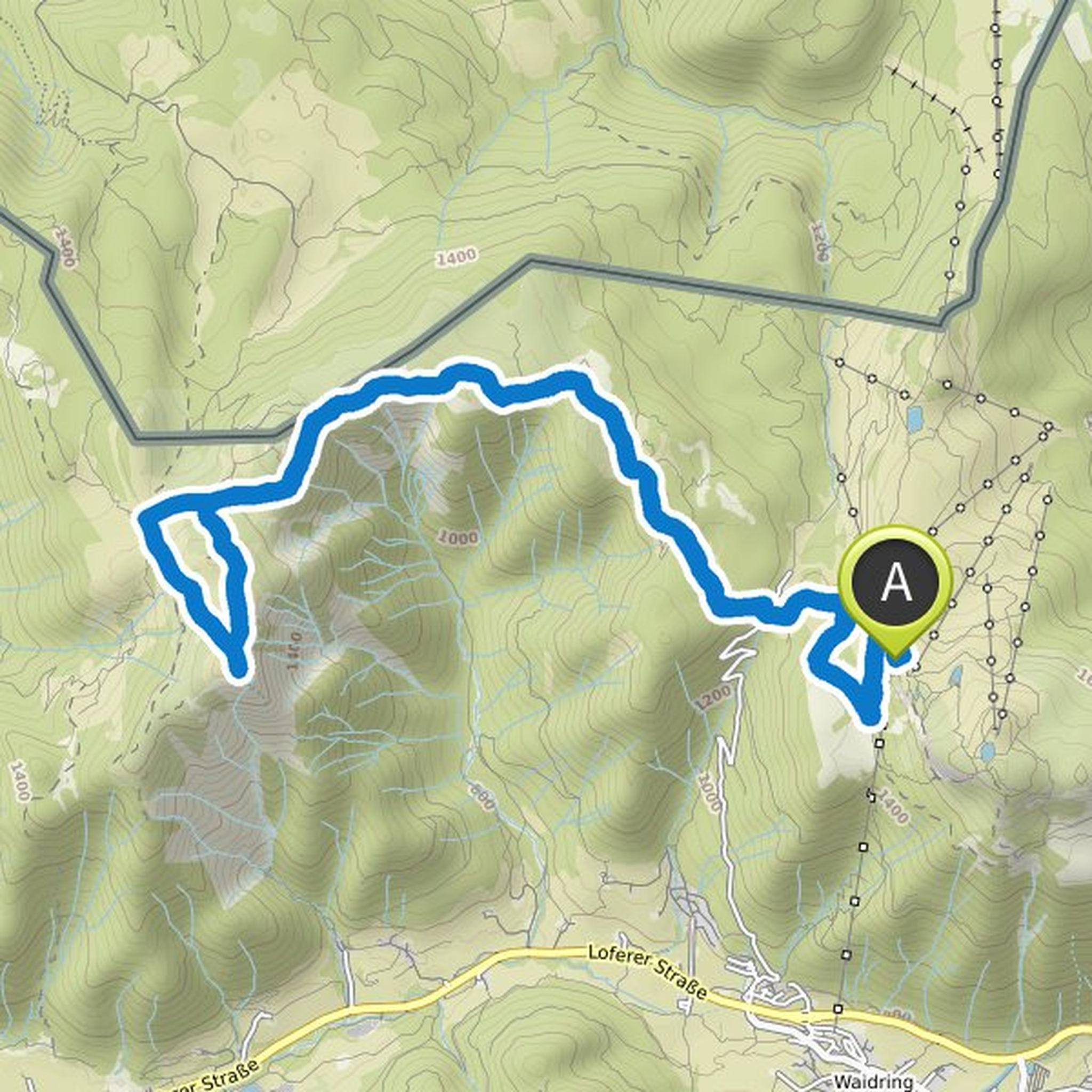
A somewhat more demanding tour awaits passionate mountain enthusiasts around the Fellhorn. You should plan a whole day for the 21.5 kilometers of this hike and be in good physical shape accordingly. In return, you enjoy all the more beautiful views and landscapes. So let's go!
The Steinplatte gondola
Çeviren Google •
Steinplatte Waidring bir yürüyüş planladı
21 Temmuz 2021
Süre
Mesafe
Hız
Çıkış
İniş
27 Temmuz 2021
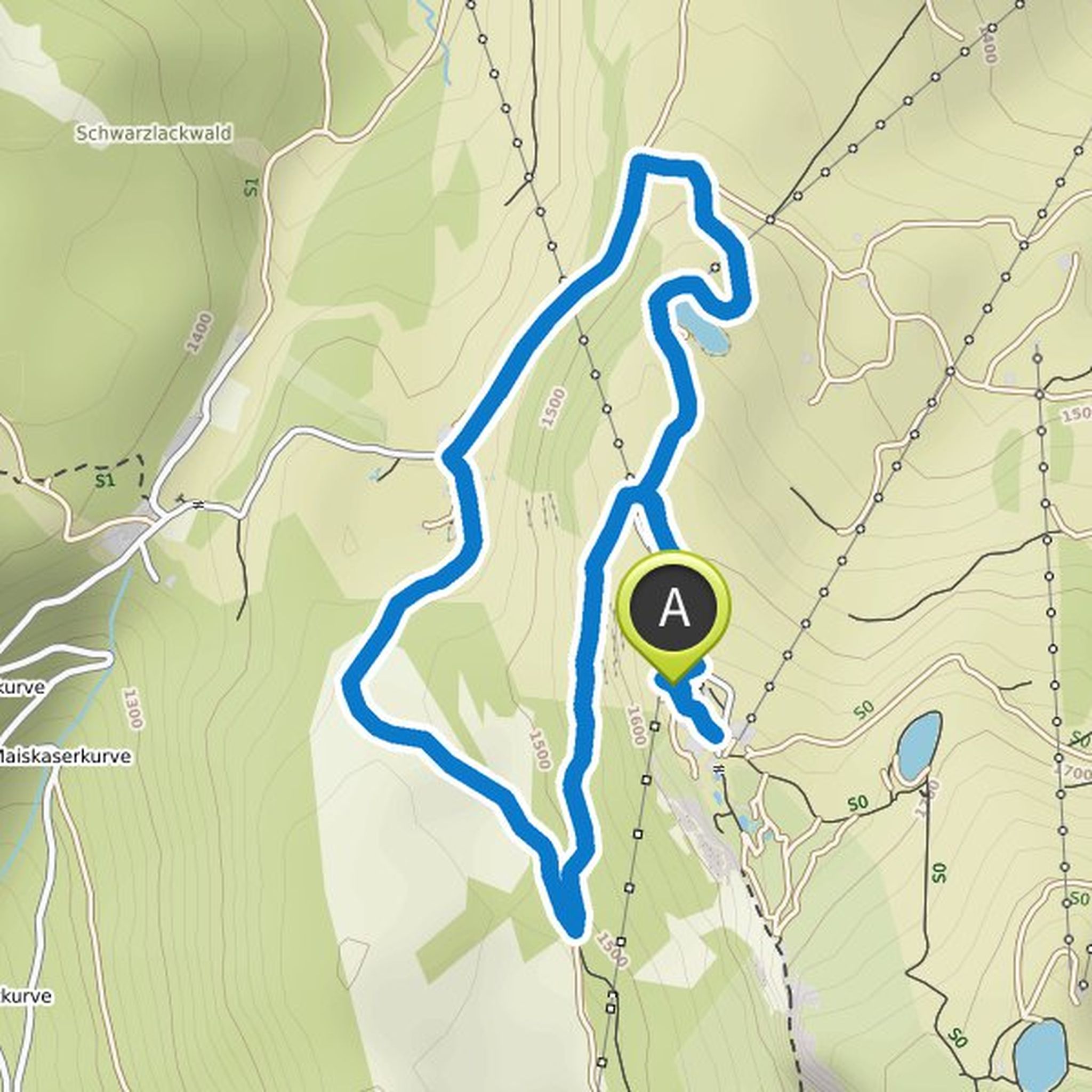
A wonderful tour that is suitable for adult leisure hikers as well as smaller hikers is this hut tour, which is almost five kilometers long. As the name suggests, the culinary arts are not neglected here. And the nature that you can experience on this hike leaves nothing to be desired.
Your tour starts
Çeviren Google •
Pillerseetal - Kitzbüheler Alpen ve diğer kişi bir yürüyüş planladı
24 Nisan 2019
Süre
Mesafe
Hız
Çıkış
İniş
25 Nisan 2019
Dinosaurs in the mountains? You're right: On the Triassic Trail at the Steinplatte summit you can see the "terrible lizards" up close. The peaks of the Limestone Alps were on the sea floor at the time of the dinosaurs and so you can discover a particularly large number of fossils here.
On the Triassic
Çeviren Google •
27 Temmuz 2021
This round tour not only gives you unique culinary experiences, but also an unforgettable journey of discovery through the Winklmoos nature reserve and European reserve. With a length of around 16 kilometers, this hike demands a bit of stamina, but is otherwise also easy to master for sporty families
Çeviren Google •