그로스브라이텐바흐 최고의 러닝 경로
4.3
(210)
2,326
달리기 하는 사람
136
러닝
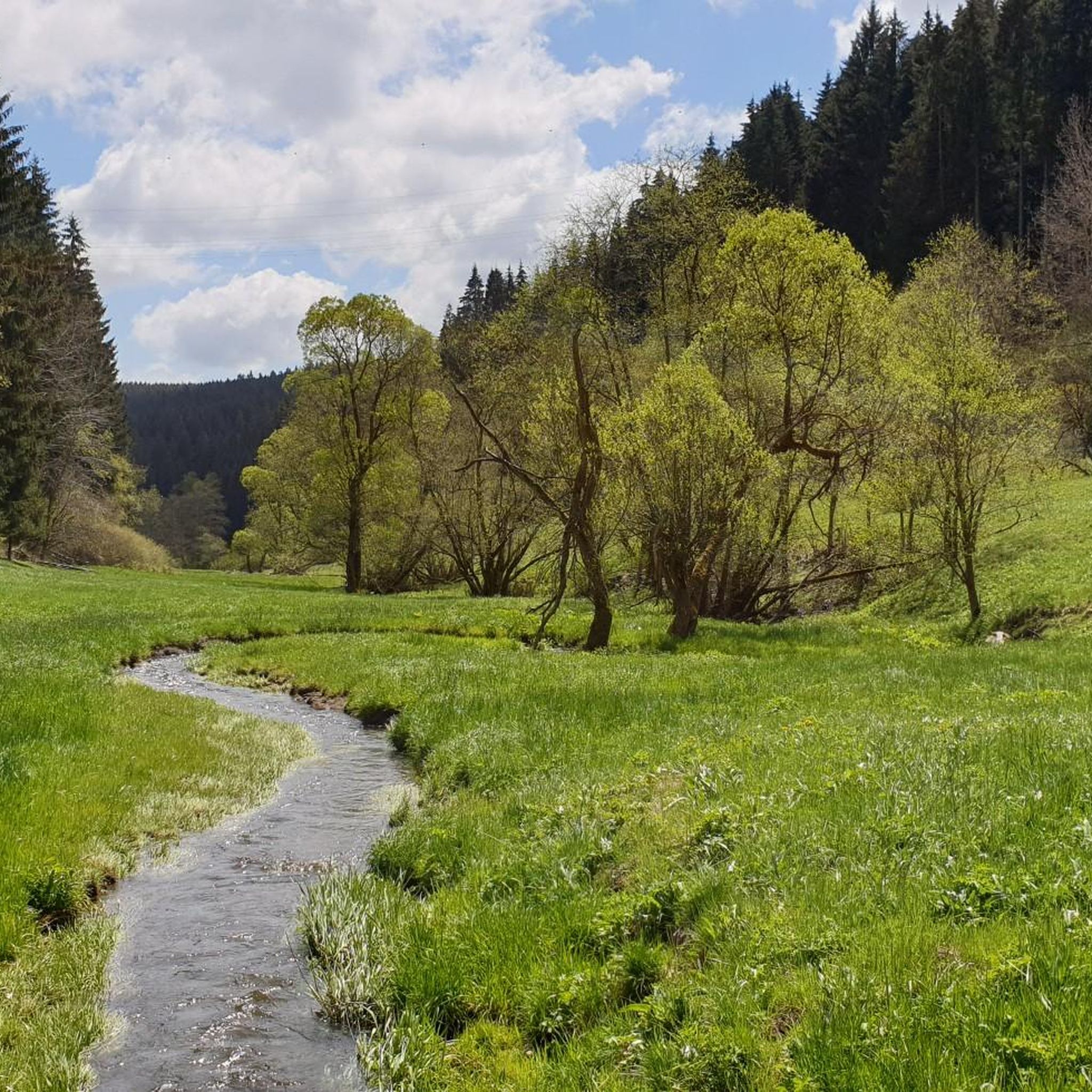
조깅을 즐기며 그로스브라이텐바흐 주변의 다양한 풍경과 투링기아 슬레이트 산맥, 높은 계곡 지형을 경험해 보세요. 이 지역은 울창한 숲, 완만한 언덕, 강 계곡으로 특징지어지며, 러너들에게 다양한 지형을 제공합니다. 투링기아 숲과 렌슈타이그 근처에 위치한 이 지역은 잘 표시된 광범위한 트레일 네트워크를 자랑합니다. 유네스코 생물권 보전 지역의 일부로서, 조용하고 상쾌한 러닝 환경을 보장합니다.
그로스브라이텐바흐 주변 최고의 조깅 코스
- 가장 인기 있는 조깅 코스는 뵤렌에서 출발하는 히르슈캄 루프로, 7.2km 길이의 이 트레일은 완료하는 데 47분이 소요됩니다. 이 코스는 아름다운 경치와 숲길 및 탁…
마지막 업데이트: 9월 28, 2026
8
달리기 하는 사람
7.18km
00:47
140m
140m
보통 조깅. 좋은 체력 필요. 대부분 포장된 지면. 실력과 관계없이 누구나 갈 수 있음.
7
달리기 하는 사람
9.39km
01:01
160m
160m
보통 조깅. 좋은 체력 필요. 대부분 포장된 지면. 실력과 관계없이 누구나 갈 수 있음.

5.0
(1)
8
달리기 하는 사람
4.99km
00:32
80m
80m
초급용 러닝. 모든 체력 수준에 적합. 대부분 포장된 지면. 실력과 관계없이 누구나 갈 수 있음.
1.0
(1)
5
달리기 하는 사람
6.55km
00:45
160m
150m
보통 조깅. 좋은 체력 필요. 대부분 포장된 지면. 실력과 관계없이 누구나 갈 수 있음.
4.0
(11)
5
달리기 하는 사람
9.33km
01:00
140m
140m
보통 조깅. 좋은 체력 필요. 대부분 갈 수 있는 길. 일부 구간에서 미끄러지지 않게 조심해야 함.
더 다양한 경로와 다른 탐험가들의 추천을 살펴보세요.
이미 komoot 계정이 있나요?
투어 추천은 다른 사람들이 komoot에서 완료한 수천 개의 활동을 바탕으로 구성되어 있습니다.
오늘 무료 계정으로 시작하세요
다음 모험이 기다리고 있어요.

커뮤니티 팁

Named after Andrea Henkel, one of Germany's most successful biathletes, the "Andrea Henkel" Biathlon Center is a central training facility for the Großbreitenbach Ski Club and an important location for junior biathlon athletes in Thuringia. The facility offers modern training opportunities for young biathletes, including a roller ski track and an air rifle shooting range. The diverse altitude of the surrounding area creates ideal conditions for fitness training in both summer and winter.
0
0


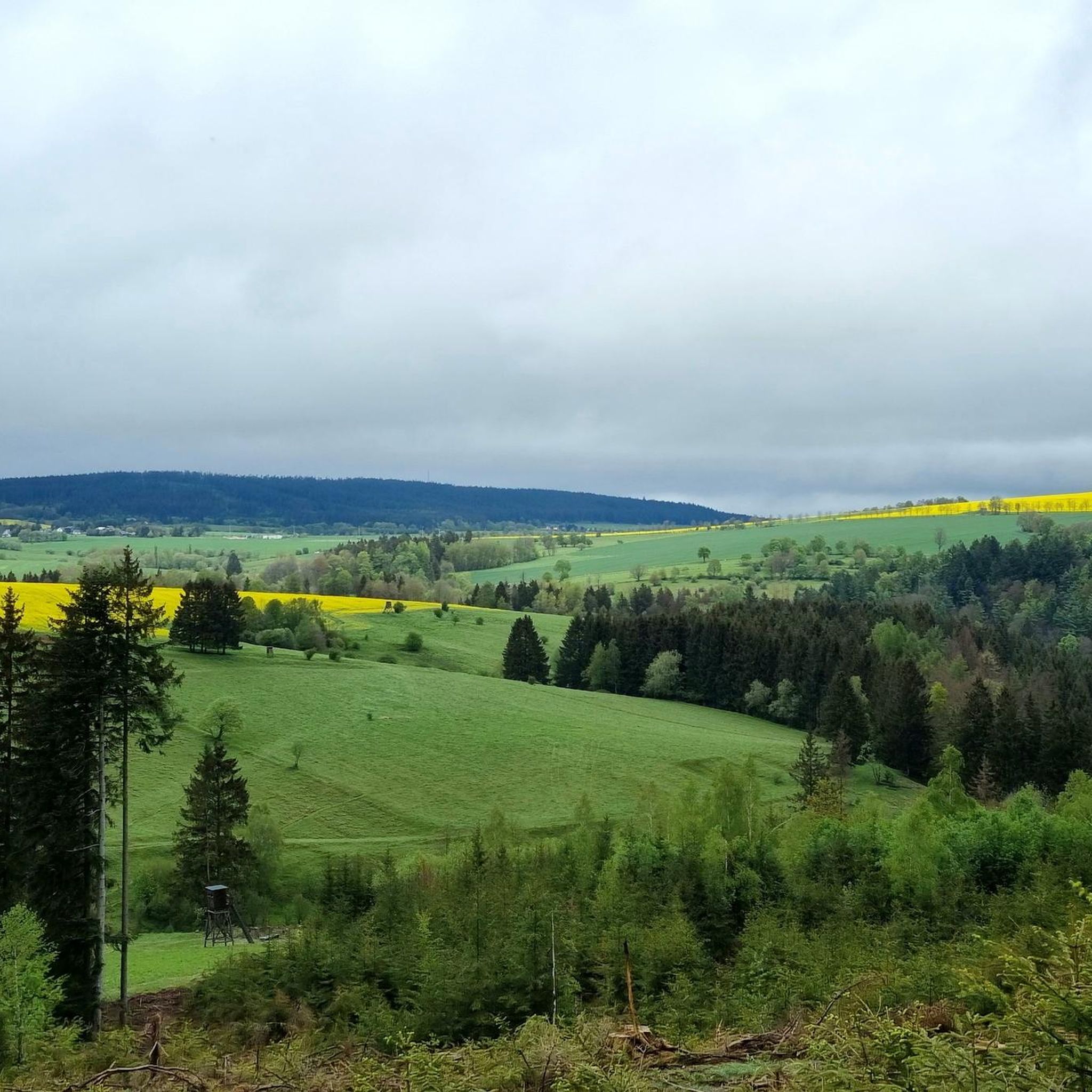
Which sick brain makes a highlight on Komoot out of a bait?
0
1

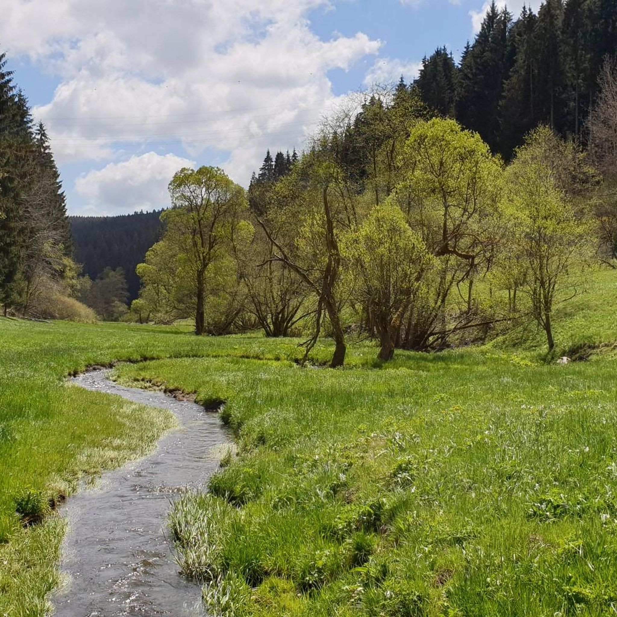
Recommendable, beautiful inn in the valley of the Weißen Schwarza with nice service and fresh fish, open Fri-Sun 11 am-8pm
3
0

According to German law, the hunter calls a feeding place a place for spreading grain, such as B. maize, or other non-meat substances (also from eggs and cheese), which are sought by game as food. It is "bait feeding". The process itself is called "jarring" or "jarring". The animals to be circled are predominantly omnivores (e.g. wild boar) [1] and herbivores. Wild boar is most often chirred (preferably with maize), but also game birds (e.g. pheasant, partridge) and some small game. In some cases, lick stones are also counted as part of the feeding places. The purpose of feeding is to lure the game to a certain place and to keep it occupied there long enough to be able to hunt and / or observe it. The attracting of predatory game, which mainly feeds on meat, is done with offal and meat from exclusively game. In this case, the hunter speaks of Luder, Luderplatz and of "lousy". In the respective (state) hunting laws it is stipulated that the number of feeding places per unit of area is limited and may not take on the character of feeding (amount and extent of feeding place). In addition, it is often stipulated that the food to be found can only be accessed by a certain species of game (e.g. wild boar). This is to be ensured by structural measures of the feeding place. Feeding areas are laid out in accordance with the species of game to be circled: laid out openly, buried or secured by containers that dispense crockery when moving (e.g. "sow circle"). In order to avoid increased peeling damage, night-time use should not be used in and around dumping areas. [2] Feeding places are often provided with game clocks or photo traps to give the hunter an overview of the "operation" at the feeding place. Source: Wikipedia
0
1

Training facility for the young biathletes in Großbreitenbach.
2
0


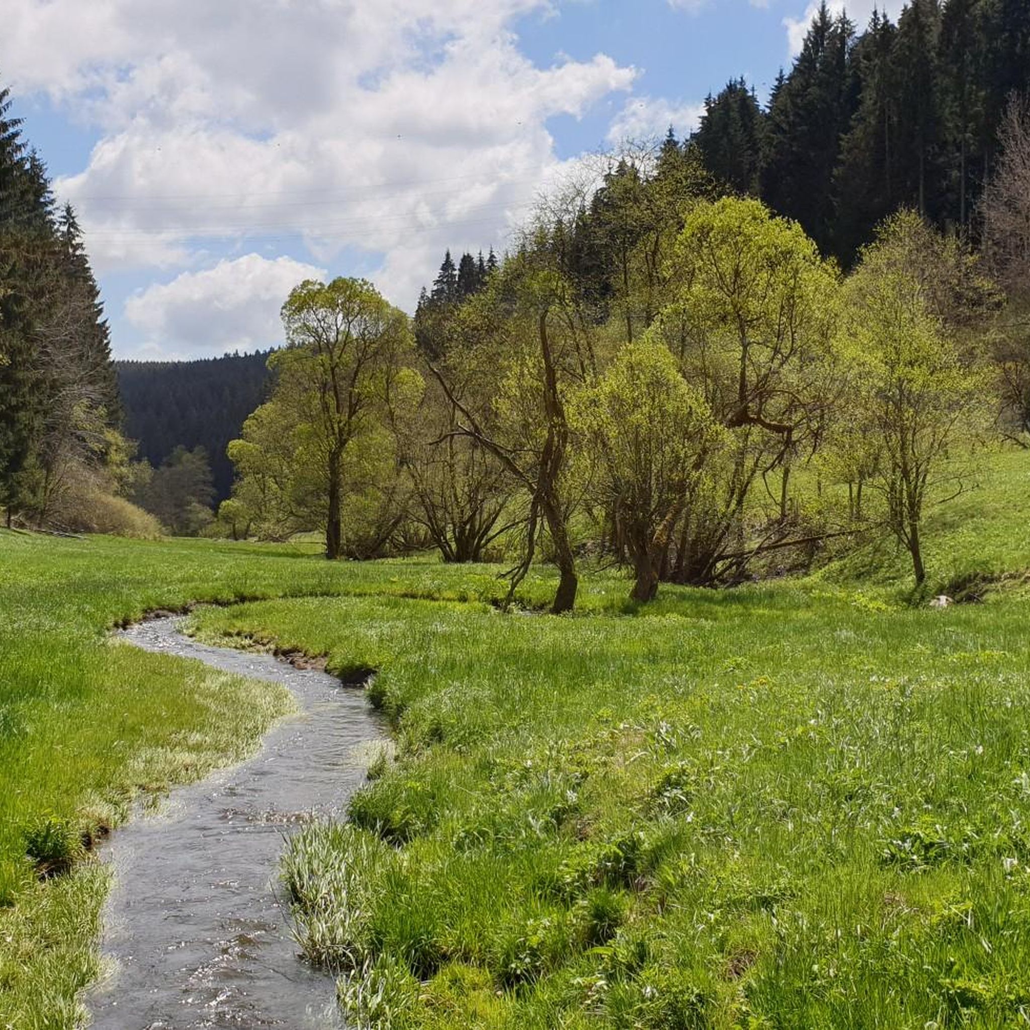
From Katzhütte via Amselheim uphill. Nice cuddly rise.
2
0
그로스브라이텐바흐 주변에서 가장 인기 있는 명소


더 살펴보기
다른 지역의 최고의 러닝 트레일 & 경로를 살펴보세요.
