비바리오 최고의 사이클링 경로
4.6
(104)
1,146
자전거 타는 사람
11
라이딩
비바리오 최고의 사이클링 경로를 따라 지역을 둘러볼까요? 비바리오에서 가장 멋진 자전거 라이딩 장소 중에서 가장 마음에 드는 라이딩을 선택해보세요.
마지막 업데이트: 10월 15, 2026
4.8
(12)
165
자전거 타는 사람
108km
07:44
2,300m
2,300m
어려운 자전거 타기. 우수한 체력 필요. 대부분 포장된 지면. 실력과 관계없이 누구나 갈 수 있음.
5.0
(3)
32
자전거 타는 사람
72.0km
05:49
1,840m
1,840m
어려운 자전거 타기. 우수한 체력 필요. 대부분 포장된 지면. 실력과 관계없이 누구나 갈 수 있음.

5.0
(3)
17
자전거 타는 사람
38.0km
03:14
1,310m
1,310m
어려운 자전거 타기. 우수한 체력 필요. 대부분 포장된 지면. 실력과 관계없이 누구나 갈 수 있음.
4.5
(2)
18
자전거 타는 사람
115km
07:57
2,170m
2,170m
어려운 자전거 타기. 우수한 체력 필요. 대부분 포장된 지면. 실력과 관계없이 누구나 갈 수 있음.
5
자전거 타는 사람
74.1km
05:52
2,130m
2,130m
어려운 자전거 타기. 우수한 체력 필요. 대부분 포장된 지면. 실력과 관계없이 누구나 갈 수 있음.
더 다양한 경로와 다른 탐험가들의 추천을 살펴보세요.
이미 komoot 계정이 있나요?
투어 추천은 다른 사람들이 komoot에서 완료한 수천 개의 활동을 바탕으로 구성되어 있습니다.
오늘 무료 계정으로 시작하세요
다음 모험이 기다리고 있어요.



커뮤니티 팁


Instead of pasta, paninis, and cakes, they serve entrecôte and salad. Not for cyclists or hikers.
0
0

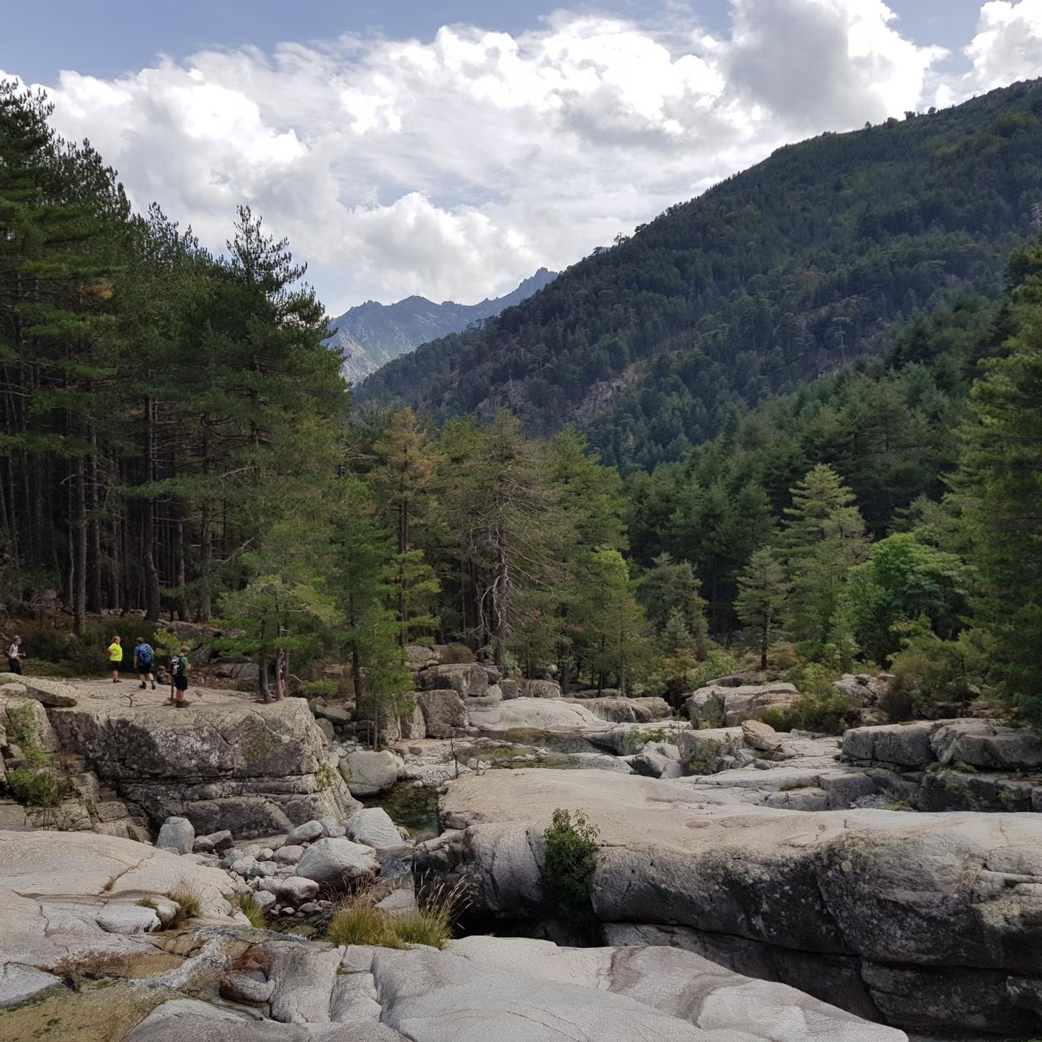
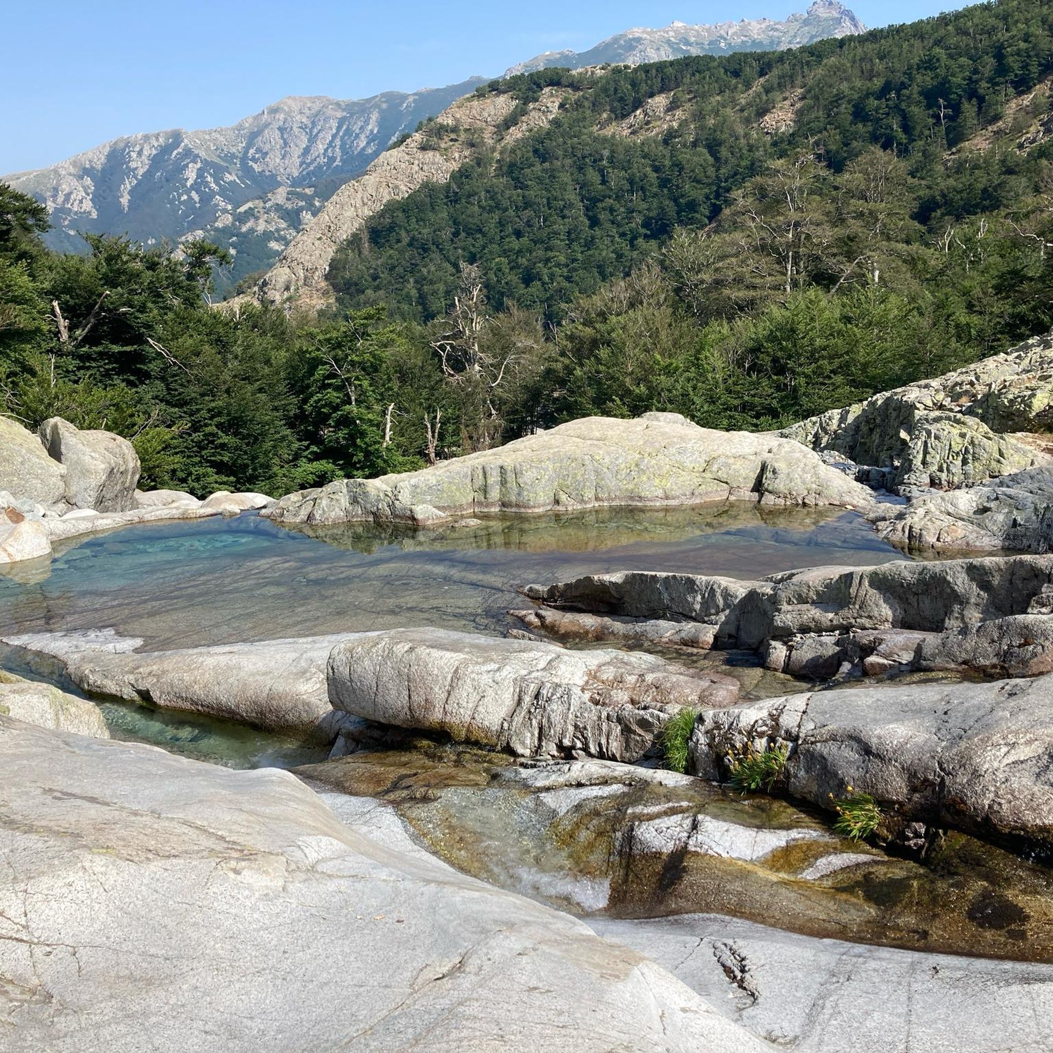
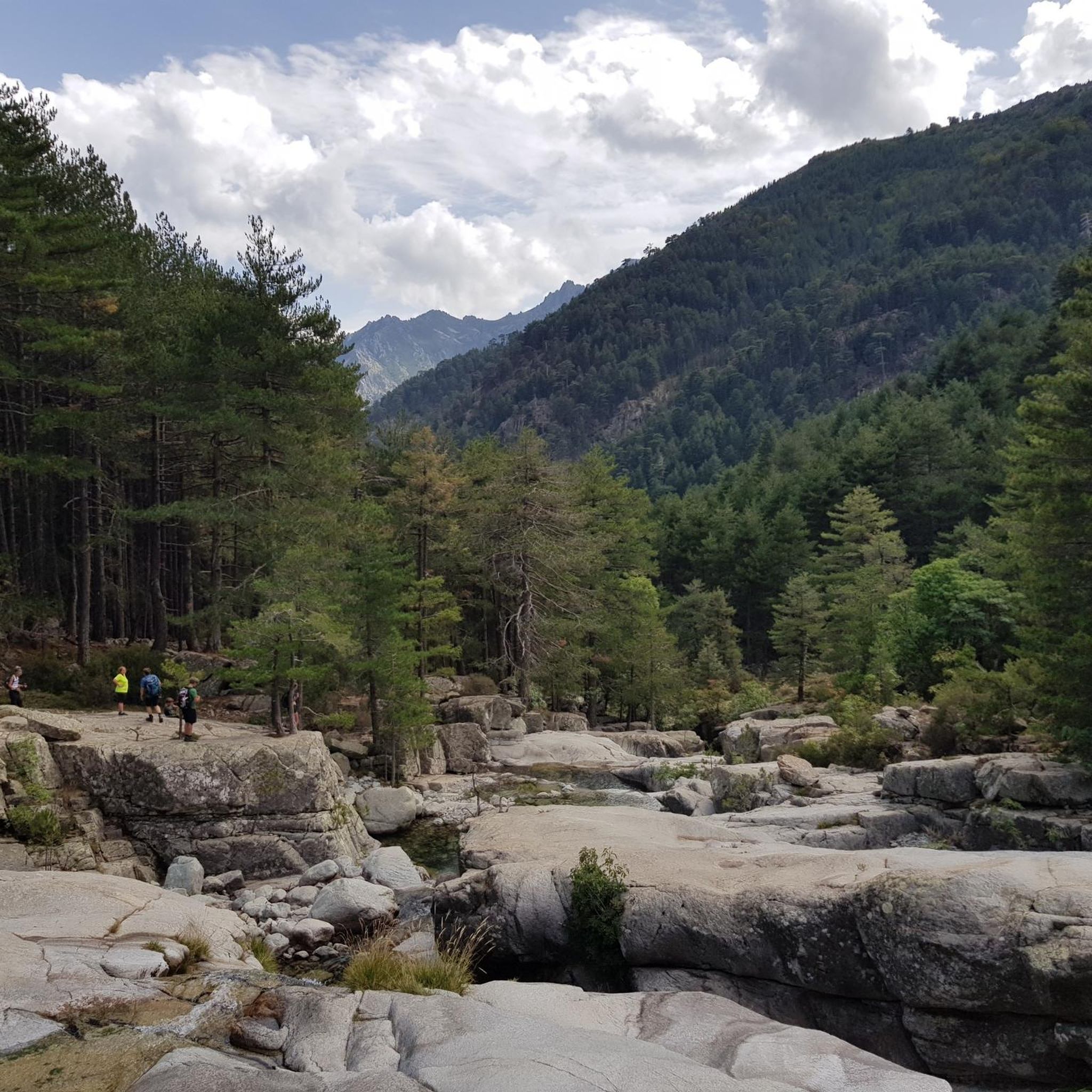
The Vecchio rises on the Monte d'Oro and is initially called Agnone. This river is best known for its Cascades des Anglais, which attract hundreds of tourists every day in high season. From the hamlet of Vizzavona onwards, the river is called Vecchio and you only meet very few people. Shortly after entering Canaglia, it joins the Manganello. Here the Vecchio valley becomes very lonely. On the right-hand side, far above the riverbed, the railway line winds its way along the hills, barely visible. You don't notice the busy T20, which lies behind the hills. You only see it when you get off at the Ponte Vecchio. High above us, it crosses the Vecchio valley on the new bridge. Later, the Vecchio flows into the Tavignano, which reaches the sea near Aléria.
1
0
Muracciole (Corsican: I Muraccioli) is a municipality in the French department of Haute-Corse on the Mediterranean island of Corsica. It belongs to the canton of Corte in the arrondissement of Corte. The inhabitants call themselves Muracciolais or Muracciaschi. The settlement area consists of the villages of Muracciole and Arca. The neighboring municipalities are Noceta to the north and east, Vezzani to the southeast, Ghisoni to the south, Vivario to the west and Venaco to the northwest.
2
0
The Route Forestière 6 was a road in Corsica established in 1854 by the Décret Imperial 1782. It was built to develop one of Corsica's forests for the timber industry. Operated by the state, it had the status of a national road. The F6 branched off from the National Road 198 south of Aléria and led to Vivario. It was 45 kilometers long. It was downgraded in 1973.
1
0
The Vecchio rises on the Monte d'Oro and is initially called Agnone. This river is best known for its Cascades des Anglais, which attract hundreds of tourists every day in high season. From the hamlet of Vizzavona onwards, the river is called Vecchio and you only meet very few people. Shortly after entering Canaglia, it joins the Manganello. Here the Vecchio valley becomes very lonely. On the right-hand side, far above the riverbed, the railway line winds its way along the hills, barely visible. You don't notice the busy T20, which lies behind the hills. You only see it when you get off at the Ponte Vecchio. High above us, it crosses the Vecchio valley on the new bridge. Later, the Vecchio flows into the Tavignano, which reaches the sea near Aléria.
1
0

A pass is always an outcome, therefore a moment of contentment and joy: 1311 meters. great
1
0

We left the past behind twice during the passage and enjoyed fresh seafood at Etang D'urbino and Etang Diana
0
0
비바리오 주변에서 가장 인기 있는 경로


더 살펴보기
다른 지역의 최고의 자전거 경로를 살펴보세요.
