타이락 최고의 러닝 경로
3.6
(8)
840
달리기 하는 사람
50
러닝
타이락에서 하이킹하며 에이젠 구석 부분까지 살펴볼까요? 타이락에 있는 모든 하이킹 및 워킹 경로 컬렉션 중 가장 멋진 하이킹 경로를 엄선하여 소개해드릴게요. 다른 하이커가 공유한 실제 팁과 사진을 살펴보고 후기를 읽으며 마음에 드는 타이락 워킹 경로를 찾아보세요.
마지막 업데이트: 9월 14, 2026
11
달리기 하는 사람
24.2km
03:00
560m
560m
어려운 조깅. 우수한 체력 필요. 대부분 포장된 지면. 실력과 관계없이 누구나 갈 수 있음.
5
달리기 하는 사람
13.1km
01:33
210m
210m
보통 조깅. 좋은 체력 필요. 대부분 포장된 지면. 실력과 관계없이 누구나 갈 수 있음.

6
달리기 하는 사람
18.8km
02:15
290m
290m
어려운 조깅. 우수한 체력 필요. 대부분 포장된 지면. 실력과 관계없이 누구나 갈 수 있음.
5.0
(1)
6
달리기 하는 사람
14.2km
01:44
280m
280m
보통 조깅. 좋은 체력 필요. 대부분 포장된 지면. 실력과 관계없이 누구나 갈 수 있음.
5
달리기 하는 사람
8.31km
00:59
120m
120m
보통 조깅. 좋은 체력 필요. 대부분 포장된 지면. 실력과 관계없이 누구나 갈 수 있음.
더 다양한 경로와 다른 탐험가들의 추천을 살펴보세요.
이미 komoot 계정이 있나요?
투어 추천은 다른 사람들이 komoot에서 완료한 수천 개의 활동을 바탕으로 구성되어 있습니다.
오늘 무료 계정으로 시작하세요
다음 모험이 기다리고 있어요.
타이락 주변 인기 장소

커뮤니티 팁

Perched on a rocky spur overlooking the Séoune Valley, Puymirol is a fortified town founded in 1246, making it the oldest in Lot-et-Garonne. Its narrow streets lined with white stone houses and its central square surrounded by arcades reflect its rich medieval past.
0
0

Combebonnet would have originally been the center of a rural exploitation. To defend it, its owner would have built a small fortress. The original castle had the shape of a right triangle whose east and west angles were topped with cantilevered watchtowers. Two of the sides were naturally fortified. At the end of the 13th or beginning of the 14th century, a square tower armed with cross pattée loopholes was added to the north corner. The castle was remodeled and enlarged at the end of the 15th or beginning of the 16th century. It was perhaps at this time that buildings, now demolished, were attached to the east, and a chapel was built as well as the enclosure which defended some houses. In the 17th century, the castle was extended on the north side. The two semi-circular portals decorated with columns, giving access to the courtyard, date from this period. To the west stands a chapel with a flat apse.
0
0

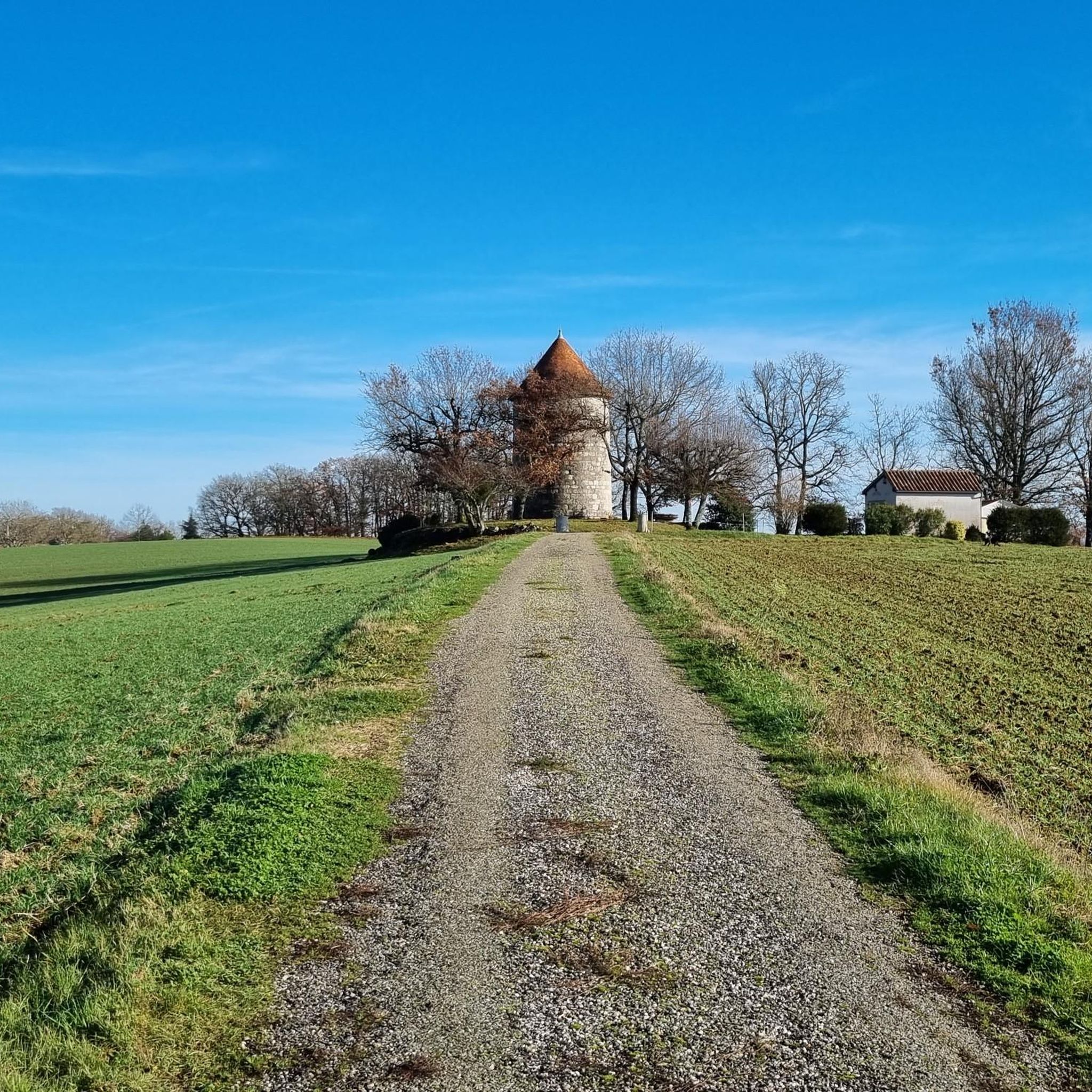
The first mention of this castle dates from around 1350. It dominates a deep valley and is visible from the east and south. It is not known exactly why, but in 1790 local troublemakers threatened to burn the castle, but the villagers came to its aid.
3
0
타이락 주변에서 가장 인기 있는 경로
타이락 주변에서 가장 인기 있는 명소


더 살펴보기
다른 지역의 최고의 러닝 트레일 & 경로를 살펴보세요.
