라베이세네 최고의 사이클링 경로
4.8
(76)
1,300
자전거 타는 사람
96
라이딩
라베이세네 최고의 사이클링 경로를 따라 지역을 둘러볼까요? 라베이세네에서 가장 멋진 자전거 라이딩 장소 중에서 가장 마음에 드는 라이딩을 선택해보세요.
마지막 업데이트: 10월 30, 2026
4.9
(7)
193
자전거 타는 사람
65.4km
04:56
1,610m
1,610m
어려운 자전거 타기. 우수한 체력 필요. 대부분 포장된 노면.
5.0
(5)
52
자전거 타는 사람
54.6km
04:16
1,310m
1,310m
어려운 자전거 타기. 우수한 체력 필요. 대부분 포장된 노면.

5.0
(1)
27
자전거 타는 사람
66.4km
04:45
1,410m
1,410m
어려운 자전거 타기. 우수한 체력 필요. 대부분 포장된 노면.
4.3
(3)
16
자전거 타는 사람
35.9km
02:40
760m
760m
어려운 자전거 타기. 우수한 체력 필요. 대부분 포장된 노면.
11
자전거 타는 사람
23.4km
02:10
550m
550m
어려운 자전거 타기. 우수한 체력 필요. 대부분 포장된 노면.
더 다양한 경로와 다른 탐험가들의 추천을 살펴보세요.
이미 komoot 계정이 있나요?
투어 추천은 다른 사람들이 komoot에서 완료한 수천 개의 활동을 바탕으로 구성되어 있습니다.
오늘 무료 계정으로 시작하세요
다음 모험이 기다리고 있어요.
커뮤니티 팁

A drinking water fountain... and fresh!
1
0

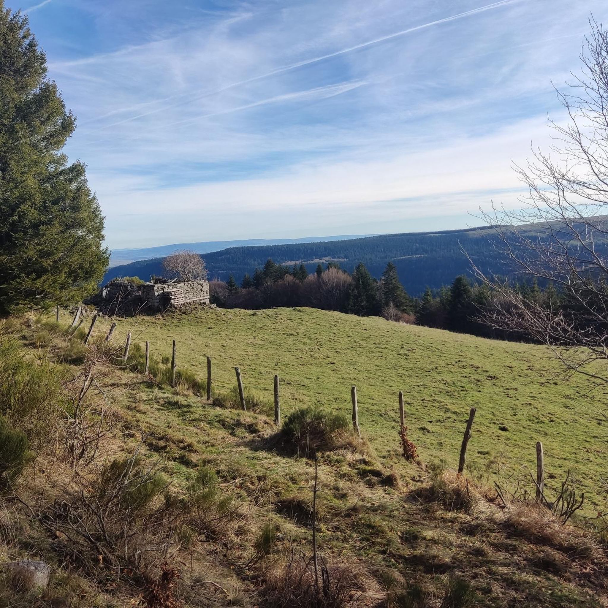
A beautiful, partly shady climb from Claux to the pass. Then the real challenge begins at Puy Mary.
0
0

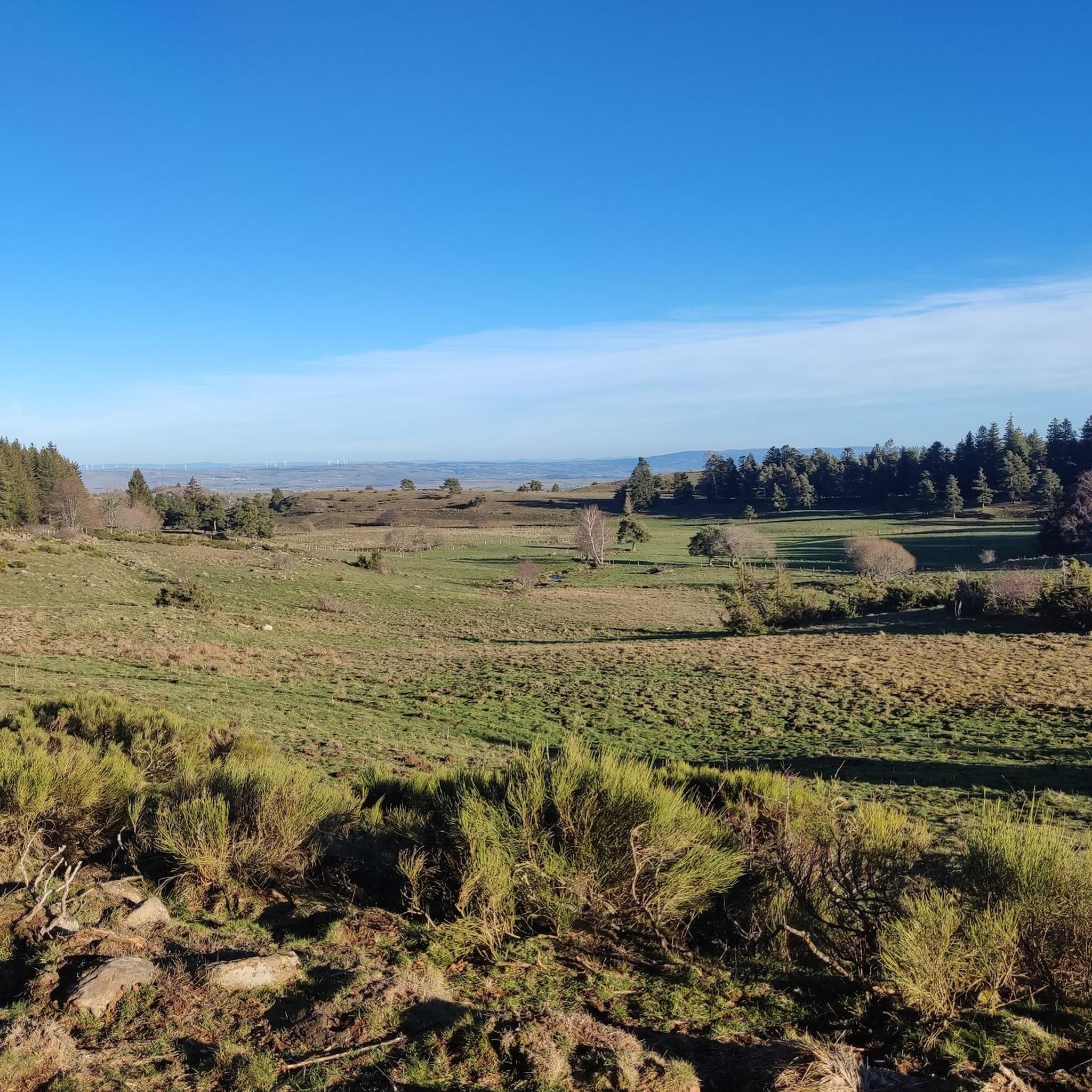
an extraordinary view of Cantal.
0
0

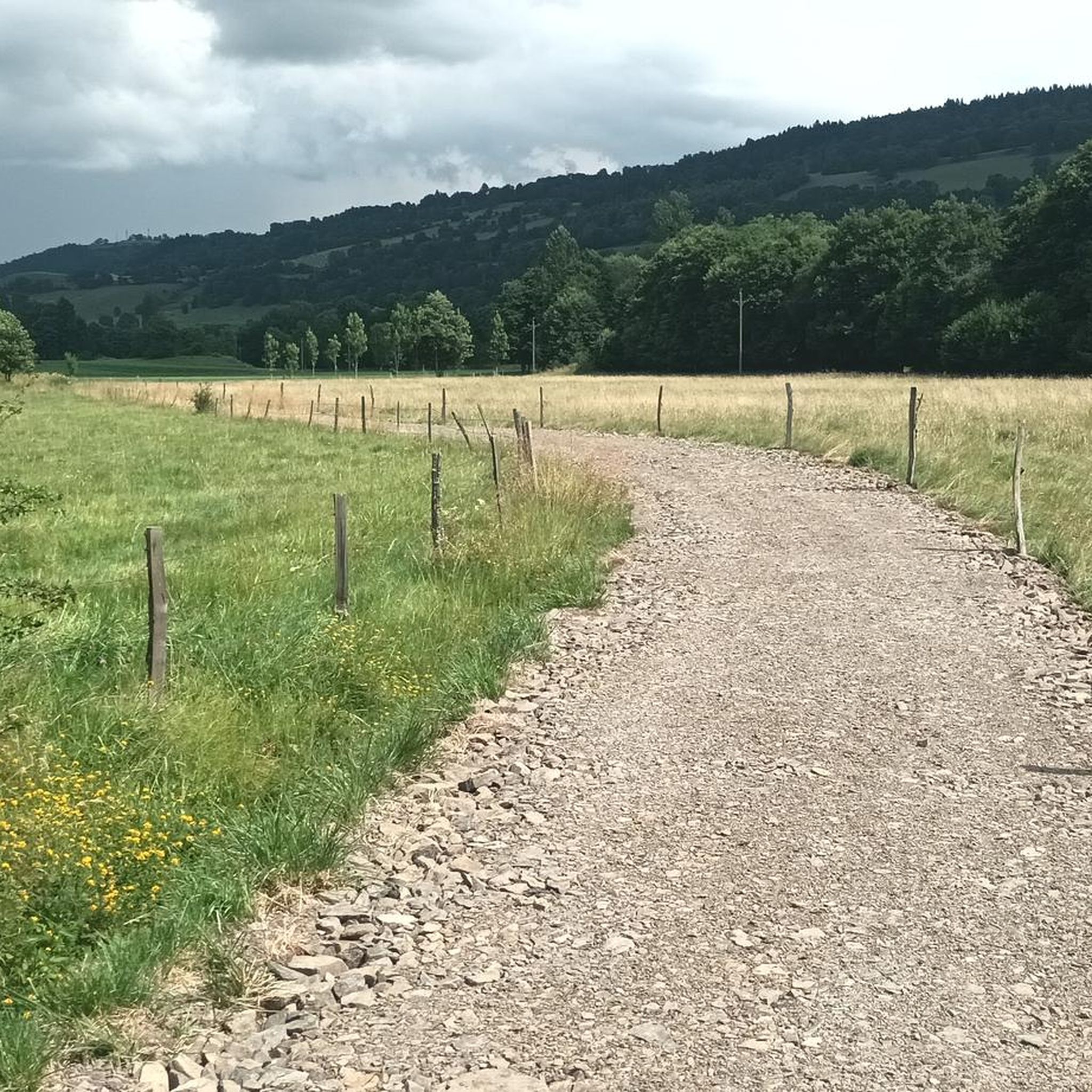
The route takes you through incredibly beautiful scenery as you head up the valley.
1
0

This pass is rather easy if we compare it with what awaits us, the Puy Mary
1
0
A pretty medieval city to cross by bike
0
0

At an altitude of 1,588 meters, the Pas de Peyrol is located between the Puy Mary and the Puy de la Tourte. It is known to be the highest road pass in the Massif Central and is worth it, because the last few kilometers have high percentages. There you can admire Puy Mary which peaks at an altitude of 1,783 metres. It is one of the peaks of the Cantal mountains. It is easily recognizable with its pyramidal silhouette.
1
0
라베이세네 주변에서 가장 인기 있는 명소


더 살펴보기
다른 지역의 최고의 자전거 경로를 살펴보세요.
