꼬디에 드 콩플랑 최고의 라이딩 경로
4.4
(92)
6,338
자전거 타는 사람
47
라이딩
꼬디에 드 콩플랑의 로드 사이클링 경로를 찾으시나요? 그렇다면 꼬디에 드 콩플랑 로드 라이딩 컬렉션 중에서 가장 멋진 라이딩 장소를 아래에서 살펴보세요.
마지막 업데이트: 8월 25, 2026
4.5
(4)
185
자전거 타는 사람
32.9km
02:06
960m
960m
This difficult 20.5-mile (32.9 km) racebike route between Juell Pass and Llose Pass climbs 3161 feet (963 meters) in the French Pyrenees.
4.6
(8)
155
자전거 타는 사람
27.2km
01:40
710m
710m
보통 도로 자전거 타기. 좋은 체력 필요. 지면 대부분이 잘 포장되어 있고 라이딩하기 쉬움.

무료 회원 가입
4.0
(4)
135
자전거 타는 사람
15.0km
00:45
220m
220m
Cycle an easy 9.3 miles (15.0 km) around Lake Matemale, enjoying scenic Pyrenees views and gaining 706 feet (215 metres).
1
자전거 타는 사람
14.9km
01:00
400m
400m
Cycle Towards the peak of la Tosse, a moderate 9.3-mile (14.9 km) road cycling route in the Parc Naturel Régional des Pyrénées Catalanes.
3.0
(1)
35
자전거 타는 사람
22.0km
01:04
290m
290m
보통 도로 자전거 타기. 모든 체력 수준에 적합. 투어 중 라이딩하기 어려운 비포장 구간이 있을 수 있음.
더 다양한 경로와 다른 탐험가들의 추천을 살펴보세요.
무료 회원 가입
이미 komoot 계정이 있나요?
투어 추천은 다른 사람들이 komoot에서 완료한 수천 개의 활동을 바탕으로 구성되어 있습니다.
오늘 무료 계정으로 시작하세요
다음 모험이 기다리고 있어요.
로그인 또는 가입하기
커뮤니티 팁


Fountain in the charming little village of Ayguatebia to refill your water before the final of the Col de la Llose or the Col de Jouël.
0
0

It is a town to breathe the tranquility of the mountains in all its expression. It is located halfway between the climb to the Col de la Llosa and the Coll de Jouell, therefore, it is a common stopover for cyclists who cover the Route du Cols. Like any good town, it has a beautiful fountain where we can recharge water for the challenges we are going to face.
0
0
It is a small elevation that allows you to connect Railleu and Caudiès-de-Conflent with Aiguatèbia in the most direct way possible. The road is very narrow although it has been recently paved and the asphalt is simply perfect. On the Aiguatèbia slope it is approximately 3 km very hard, although with wonderful views of the valley. You can not lose this!
1
0
It is a simply spectacular port that unites the regions of Conflent and Capcir. It is one of the most beautiful ports in the easternmost Pyrenees. It is very close to the Col de la Llosa, and you can take a circular route that is known as the "Route des Cols". It is also indicated on nearby road signs. The hardest slope is the one that begins in Olette (Conflent) and goes up through Aiguatèbia. There are almost 22 km of ascent and 1,089 meters of elevation gain. It has 3 very different zones: (1) the first is a constant 5 km at 7%; (2) the second is 10 km at 4% and with some very pleasant rest areas, with beautiful views; (3) The final part is 6 km on average at 7%, since it passes the town of Railleu, although the hard part is the last 3 km, with several ramps that exceed 10%. The road is narrow and has uneven asphalt, with hardly any cars and motorcycles. For me, the final part of this port is truly spectacular and should not be missed. The west slope begins in the town of Matamala (Capcir) and is 3 km with an average of close to 8%. It is a long irregular stretch along a narrow and very quiet road, with panoramic views of the valley when the thick black pine forest gives some opportunity.
0
0

A little disappointing: the pass is in the middle of the forest and offers no view. The climb from (and to!) Railleu is nevertheless superb. A nice picnic area to have a bite to eat.
1
0
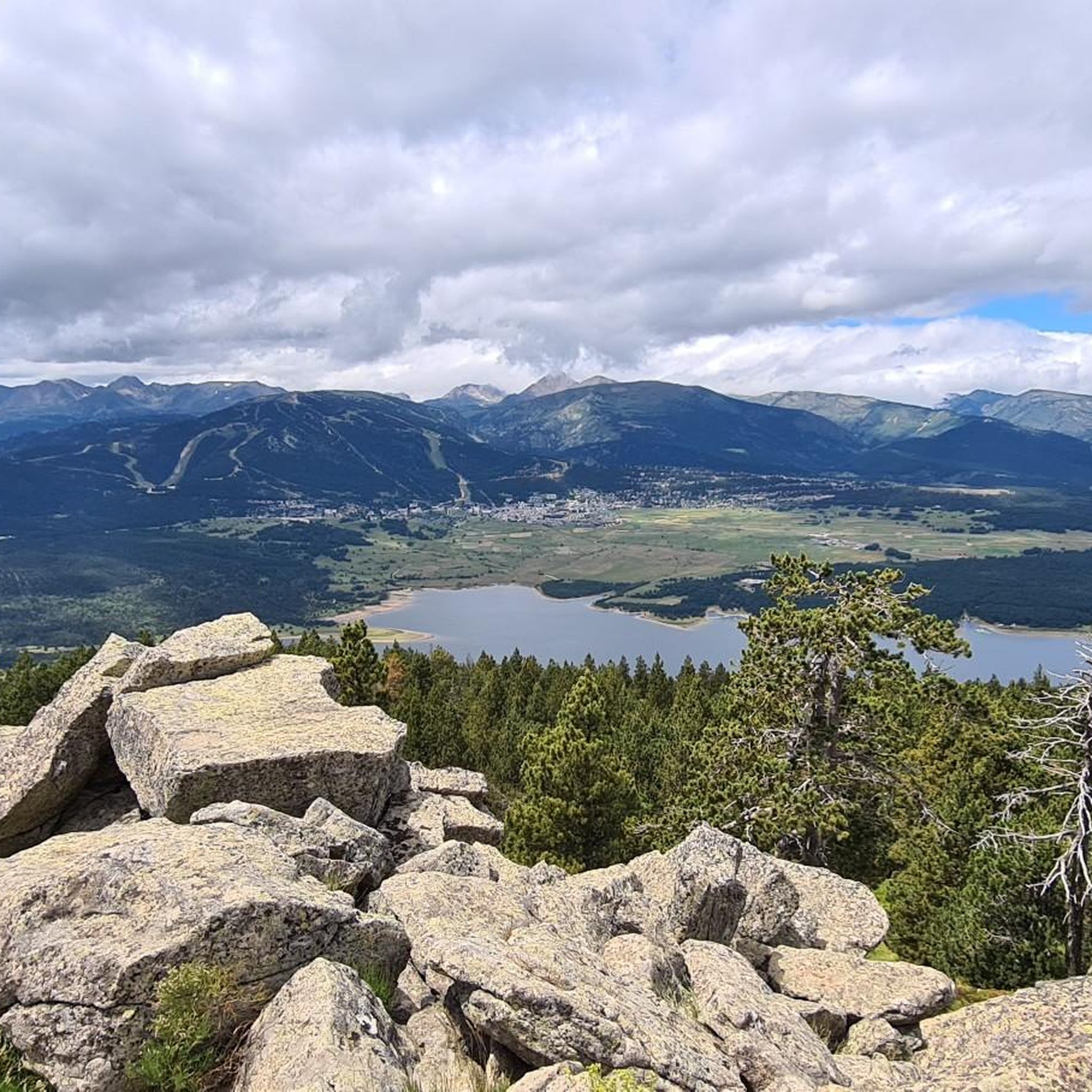
Lake at the foot of Les Angles and next to the Col de la Quillane. I recommend you take a walk around it, passing through the points indicated above.
0
0
I attach the link with the detailed profile of the climb produced by @cyclingcols -- https://www.cyclingcols.com/col/Tossa
0
0
꼬디에 드 콩플랑 주변에서 가장 인기 있는 명소


더 살펴보기
다른 지역의 최고의 로드 사이클링 경로를 살펴보세요.
