땅 최고의 MTB 라이딩 경로
4.5
(59)
184
자전거 타는 사람
40
라이딩
Åland 주변의 산악자전거는 붉은 화강암 절벽, 울창한 숲, 수많은 섬으로 특징지어지는 군도 풍경 전반에 걸쳐 다양한 지형을 제공합니다. 이 지역은 해안 길에서 구릉까지 다양한 지형을 제공하여 산악자전거 타는 사람들에게 매력적인 환경을 조성합니다. 트레일은 종종 숲이 우거진 지역, 탁 트인 풍경, 역사 유적지를 넘나들며, 일반적으로 경사 변화가 적습니다.
Aland 주변 최고의 산악자전거 트레일
- 가장 인기 있는 산악자전거 트레일은 비텐베르게에서 출발하는 엘베 둑길 자전거 코스 – 강 전망 루프로, 26.7마일(42.9km) 길이이며 완료하는 데 2시간 50분이 걸립니다. 이 경로는 강 전망을 제공합니다. …
마지막 업데이트: 11월 11, 2026
4.3
(4)
16
자전거 타는 사람
42.7km
02:55
70m
70m
보통 산악 자전거 타기. 좋은 체력 필요.
4.6
(7)
21
자전거 타는 사람
66.6km
04:03
90m
90m
보통 산악 자전거 타기. 좋은 체력 필요.

4.6
(5)
16
자전거 타는 사람
31.9km
01:48
70m
70m
초급용 산악자전거 라이딩.
5.0
(1)
10
자전거 타는 사람
50.5km
02:45
80m
80m
보통 산악 자전거 타기. 좋은 체력 필요.
4.5
(2)
8
자전거 타는 사람
28.6km
01:51
40m
40m
초급용 산악자전거 라이딩.
더 다양한 경로와 다른 탐험가들의 추천을 살펴보세요.
이미 komoot 계정이 있나요?
투어 추천은 다른 사람들이 komoot에서 완료한 수천 개의 활동을 바탕으로 구성되어 있습니다.


커뮤니티 팁

비텐베르크의 새로운 B189 다리는 A14 고속도로 확장 공사의 일부이며, 북쪽에 인접한 낡은 구 다리(1978년 건설, 가장 긴 구 동독 도로 다리)입니다. 2026년 중반부터 교통을 수용할 신축 다리는 엘베 강 횡단 시설을 현대화하고 오래된 구조물을 교체하기 위한 대규모 인프라 프로젝트의 일부로 건설됩니다.
3
0
Wittenberge 근처의 새로운 B189 다리는 A14 고속도로 확장 공사의 일부이며, 북쪽에 인접한 1978년에 건설된 동독에서 가장 긴 도로 다리인 낡은 기존 다리의 일부입니다. 2026년 중반부터 교통을 수용할 예정인 신축 다리는 엘베 강 횡단 시설을 현대화하고 기존 구조물을 교체하기 위한 대규모 인프라 프로젝트의 일환으로 건설되고 있습니다.
4
0
Hitzacker-Wittenberge 구간은 유네스코 "엘베 강 풍경" 생물권 보전 지역에 통합된 자연과 역사가 엘베 자전거 도로의 흥미로운 구간을 제공합니다. 마을 사이의 고요함과 황새, 두루미, 비버, 양이 있는 다채로운 야생 동물은 풍경의 원시성을 엿볼 수 있게 합니다. 봄과 가을에는 형성됩니다.
4
0

The observation tower on the Elbe Cycle Path near Bälow is situated in the heart of the Elbe floodplains and offers a panoramic view of the river landscape, dikes, and meadows of the Prignitz region. It primarily serves as a rest stop and viewpoint for cyclists on the Elbe Cycle Path, as well as an observation point for the diverse birdlife of the Elbe River Landscape Biosphere Reserve. From the elevated platform, numerous water birds and meadow birds can be observed, especially during migration seasons, thus combining landscape observation with a nature experience.
0
0
The village church of Bälow, a striking brick building, dominates the village landscape. It was erected in 1914/15 according to plans by the Royal Building Councilor Georg Büttner, reusing building materials from the older church dating back to 1661. The rectangular structure with its projecting tower and spire was built after several relocations of the village due to Elbe River floods, as well as the fire and subsequent demolition of the earlier timber-framed church. Now a listed historical monument, the church stands today as a testament to the eventful history of the village and the religious life of the Prignitz region along the Elbe River.
0
0
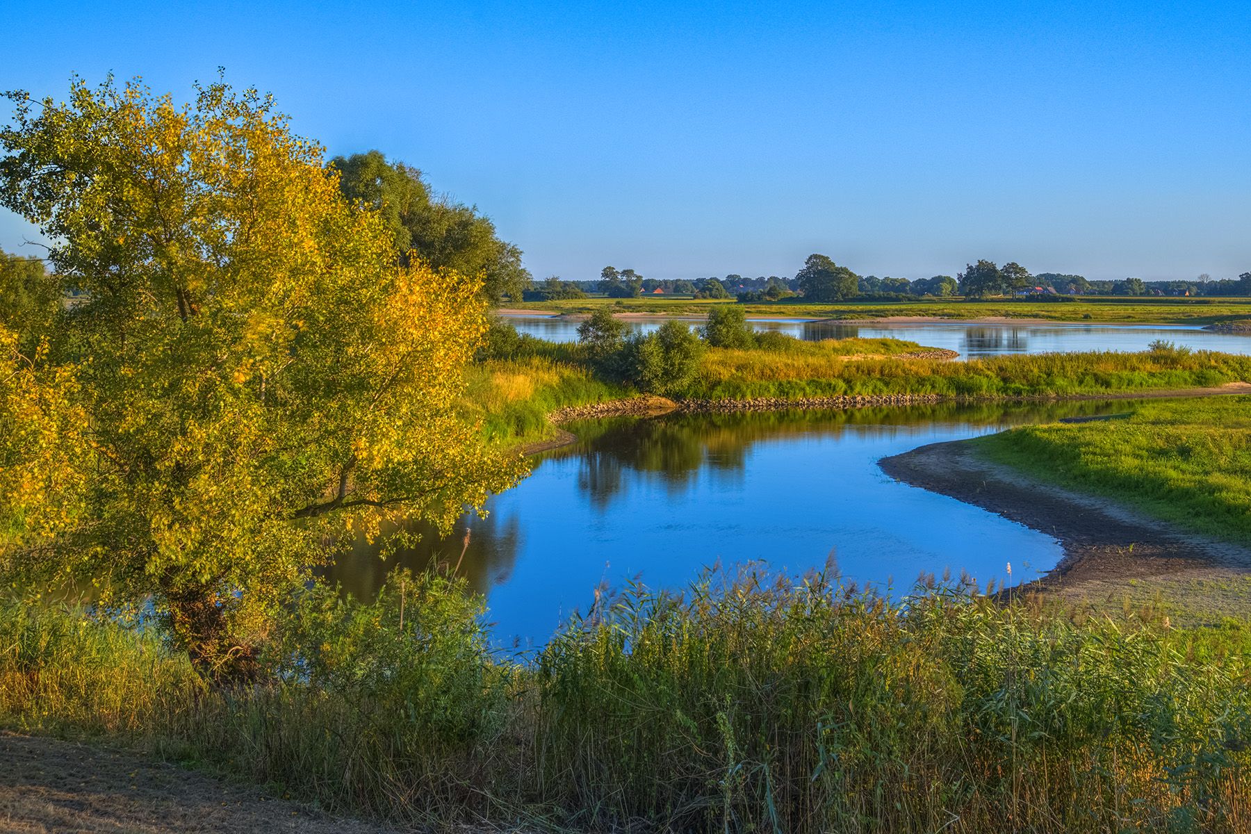
A sprawling, flat river landscape characterized by waterways, meadows, and groups of trees. The lowlands serve as a natural floodplain and change their appearance depending on the water level and season. Open vistas are characteristic, making the area a typical example of a near-natural Elbe floodplain landscape.
0
0
The Heisterbusch Gründerzeit district is characterized by its magnificent residential buildings dating from around 1900, richly decorated with Art Nouveau and Jugendstil elements. Designed by city architect Friede Everhard Bruns starting in 1902, it became one of the most beautiful historic residential areas in Northern Germany, distinguished by its ornamental facades, turrets, and elaborate details. As a typical Gründerzeit district, it reflects the economic boom of the turn of the century and attracts visitors interested in historical urban development and artistic architecture.
1
0
The bridge over the Stepenitz is an important crossing just before the river flows into the Elbe. It connects central urban areas with adjacent residential and recreational areas and is used by vehicular traffic, pedestrians, and cyclists. Its location in the river and floodplain landscape offers unobstructed views of the Stepenitz and the surrounding countryside. It is a defining element of Wittenberge's cityscape.
1
0
땅 주변에서 가장 인기 있는 명소


더 살펴보기
다른 지역의 최고의 MTB 트레일를 살펴보세요.
