생히폴리트 최고의 러닝 경로
5.0
(5)
938
달리기 하는 사람
81
러닝
Jogging around Saint-Hippolyte offers diverse terrain within the Laurentian Mountains of Quebec, Canada. The region features a landscape of wooded areas, hills, and serene waters, providing varied options for runners. Trails often wind through forests and alongside natural features like lakes and rivers, including the Rivière du Nord. This environment presents opportunities for both challenging routes with elevation changes and more tranquil paths.
Best jogging routes around Saint-Hippolyte
- The most popular jogging route is Roussillou Pond – Viaduc de Barajol…
마지막 업데이트: 10월 2, 2026
29
달리기 하는 사람
21.6km
03:05
900m
900m
어려운 조깅. 우수한 체력 필요. 튼튼한 신발을 신고 미끄러지지 않게 조심해야 하며, 높은 산을 오른 경험이 있어야 함.
12
달리기 하는 사람
7.00km
00:46
80m
80m
보통 조깅. 좋은 체력 필요. 대부분 포장된 지면. 실력과 관계없이 누구나 갈 수 있음.

11
달리기 하는 사람
5.90km
00:37
50m
50m
보통 조깅. 좋은 체력 필요. 대부분 포장된 지면. 실력과 관계없이 누구나 갈 수 있음.
8
달리기 하는 사람
5.56km
00:43
190m
190m
보통 조깅. 좋은 체력 필요. 대부분 포장된 지면. 실력과 관계없이 누구나 갈 수 있음.
9
달리기 하는 사람
6.66km
00:44
100m
100m
보통 조깅. 좋은 체력 필요. 대부분 포장된 지면. 실력과 관계없이 누구나 갈 수 있음.
더 다양한 경로와 다른 탐험가들의 추천을 살펴보세요.
이미 komoot 계정이 있나요?
투어 추천은 다른 사람들이 komoot에서 완료한 수천 개의 활동을 바탕으로 구성되어 있습니다.
오늘 무료 계정으로 시작하세요
다음 모험이 기다리고 있어요.

커뮤니티 팁


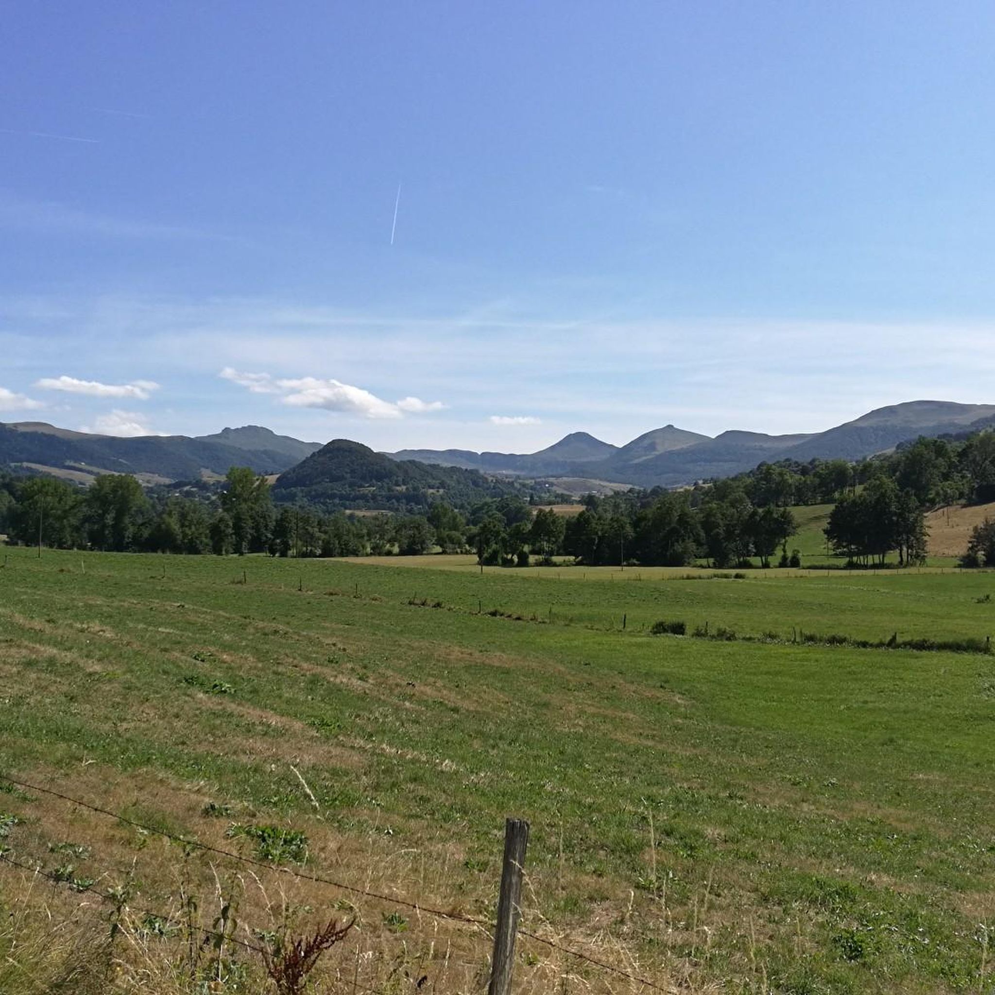
A beautiful, partly shady climb from Claux to the pass. Then the real challenge begins at Puy Mary.
0
0


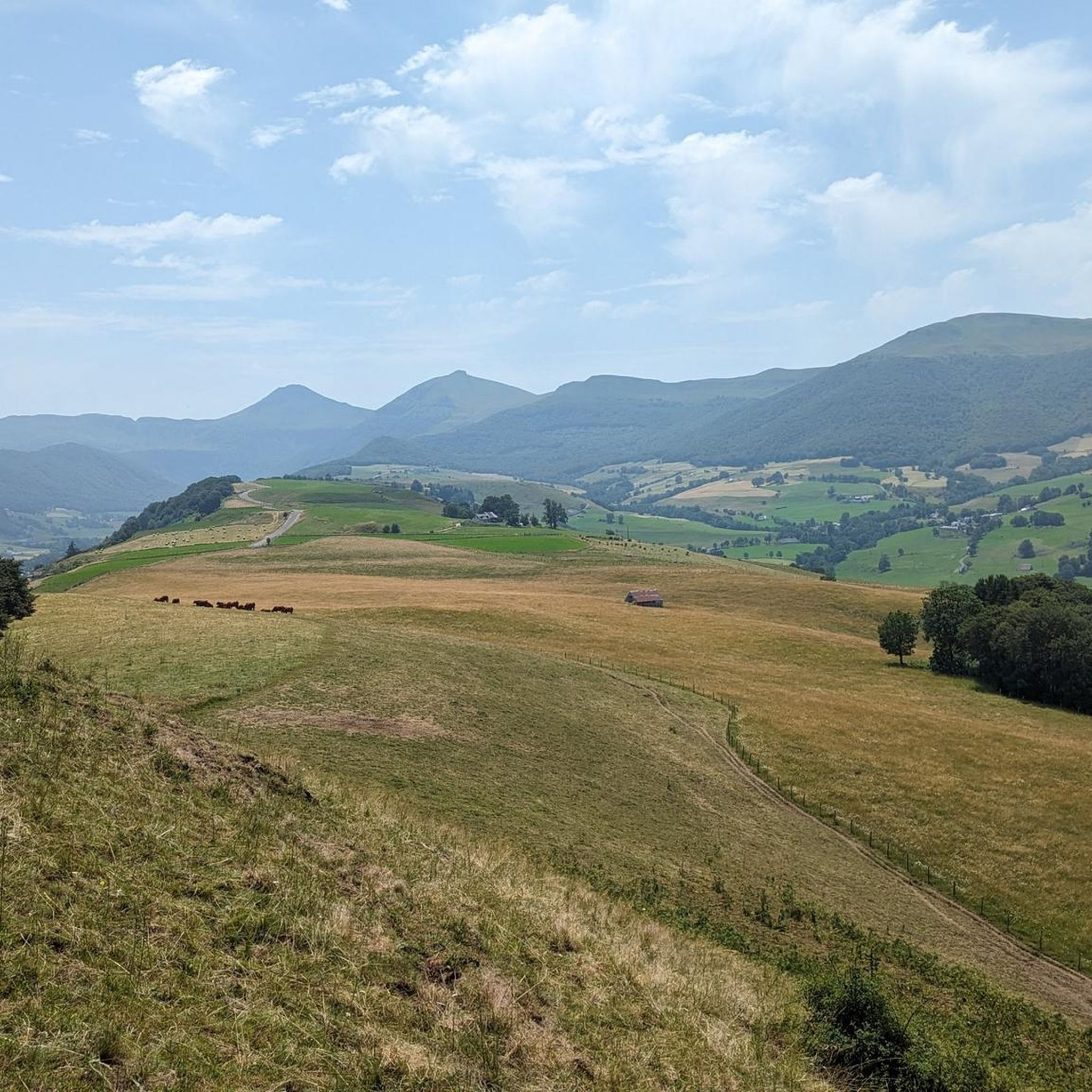
The route takes you through incredibly beautiful scenery as you head up the valley.
1
0

The Haut-Cantal Puy Mary Nordic area offers more than 60 kilometres of snowshoe and cross-country ski trails. The area is accessible via two gateways: Lascourt and the Col de Serre, here at an altitude of 1,200 metres.
0
0

This pass is rather easy if we compare it with what awaits us, the Puy Mary
1
0

At an altitude of 1,588 meters, the Pas de Peyrol is located between the Puy Mary and the Puy de la Tourte. It is known to be the highest road pass in the Massif Central and is worth it, because the last few kilometers have high percentages. There you can admire Puy Mary which peaks at an altitude of 1,783 metres. It is one of the peaks of the Cantal mountains. It is easily recognizable with its pyramidal silhouette.
1
0

In a wind that dehorns the oxen, sublime landscapes in all seasons!
2
0
생히폴리트 주변에서 가장 인기 있는 명소


더 살펴보기
다른 지역의 최고의 러닝 트레일 & 경로를 살펴보세요.
