안티냑 최고의 라이딩 경로
4.7
(87)
1,716
자전거 타는 사람
142
라이딩
안티냑의 로드 사이클링 경로를 찾으시나요? 그렇다면 안티냑 로드 라이딩 컬렉션 중에서 가장 멋진 라이딩 장소를 아래에서 살펴보세요.
마지막 업데이트: 10월 16, 2026
27
자전거 타는 사람
102km
05:11
1,530m
1,530m
어려운 도로 자전거 타기. 우수한 체력 필요. 지면 대부분이 잘 포장되어 있고 라이딩하기 쉬움.
4.8
(6)
179
자전거 타는 사람
86.0km
04:53
1,930m
1,930m
어려운 도로 자전거 타기. 우수한 체력 필요. 투어 중 라이딩하기 어려운 비포장 구간이 있을 수 있음.

27
자전거 타는 사람
74.7km
03:52
1,320m
1,320m
어려운 도로 자전거 타기. 우수한 체력 필요. 지면 대부분이 잘 포장되어 있고 라이딩하기 쉬움.
13
자전거 타는 사람
82.4km
04:48
1,910m
1,910m
어려운 도로 자전거 타기. 우수한 체력 필요. 지면 대부분이 잘 포장되어 있고 라이딩하기 쉬움.
10
자전거 타는 사람
44.4km
02:25
830m
830m
보통 도로 자전거 타기. 좋은 체력 필요. 지면 대부분이 잘 포장되어 있고 라이딩하기 쉬움.
더 다양한 경로와 다른 탐험가들의 추천을 살펴보세요.
이미 komoot 계정이 있나요?
투어 추천은 다른 사람들이 komoot에서 완료한 수천 개의 활동을 바탕으로 구성되어 있습니다.
오늘 무료 계정으로 시작하세요
다음 모험이 기다리고 있어요.
안티냑 주변 인기 장소

커뮤니티 팁

A beautiful, partly shady climb from Claux to the pass. Then the real challenge begins at Puy Mary.
0
0
Small village before the climb to Puy Mary. A bit deserted on Whit Monday.
3
0

The route takes you through incredibly beautiful scenery as you head up the valley.
1
0

This pass is rather easy if we compare it with what awaits us, the Puy Mary
1
0
It's steep but you absolutely have to do this pass because the landscape is magnificent.
1
0

Wikipedia has information about the dam: FR: https://de.wikipedia.org/wiki/Barrage_de_Bort-les-Orgues DE: https://fr.wikipedia.org/wiki/Barrage_de_Bort-les-Orgues
1
1

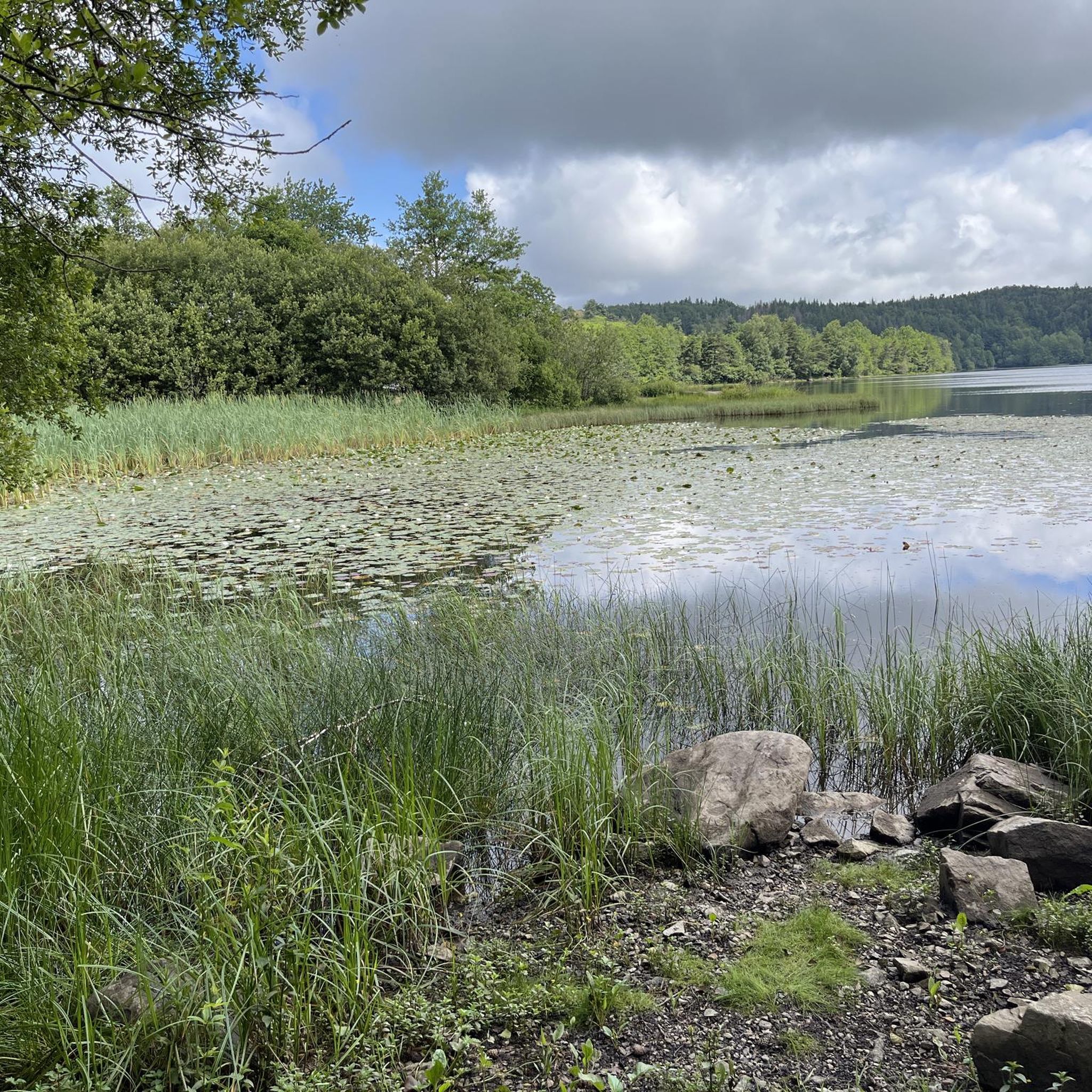
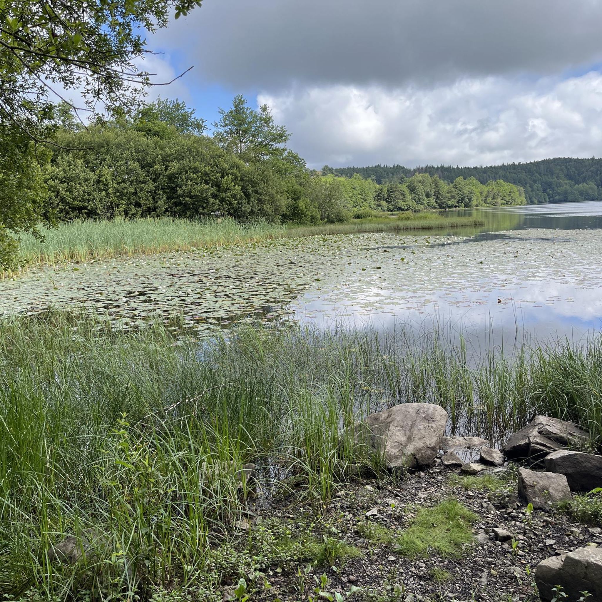
Unobstructed view of Lake Lastouille, which is very popular for swimming and fishing. It is entirely bordered by forests and summer pastures and is one of the largest water reservoirs in the Dordogne basin. Absolutely perfect for a dip in hot weather!
0
0
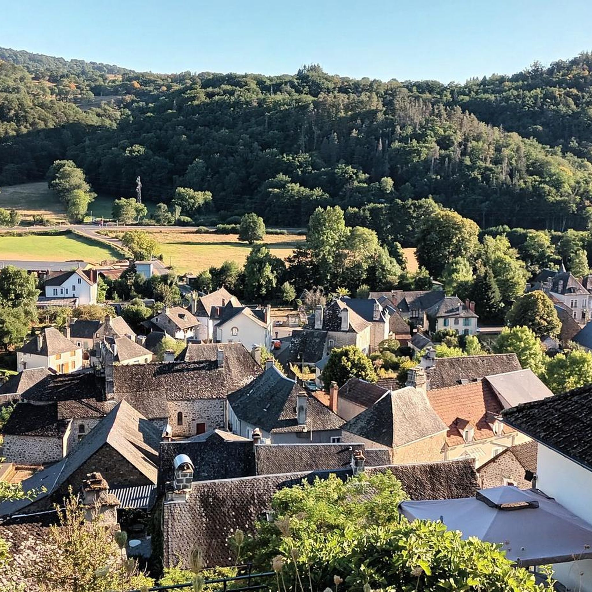
All asphalted greenway, which passes through the small village of Ydes. In the heart of the Massif Central, it extends over fourteen kilometers and connects Cheyssac to Parensol.
1
0
안티냑 주변에서 가장 인기 있는 경로
안티냑 주변에서 가장 인기 있는 명소


더 살펴보기
다른 지역의 최고의 로드 사이클링 경로를 살펴보세요.
