컬몬트 최고의 워킹 & 하이킹 경로
4.2
(283)
1,323
등산객
78
하이킹
정확한 경로를 찾는 것이 때로는 어렵지만 컬몬트에서 하이킹을 하면 다양한 경치를 마음껏 감상할 수 있답니다. 컬몬트에서 가장 멋진 하이킹과 워킹 중에서 마음에 드는 활동을 시작해보세요.
마지막 업데이트: 10월 10, 2026
4.5
(37)
179
등산객
15.4km
03:58
80m
80m
보통 하이킹. 좋은 체력 필요. 실력과 관계없이 누구나 쉽게 갈 수 있는 길.
3.0
(1)
6
등산객
24.9km
06:49
350m
470m
어려운 하이킹. 우수한 체력 필요. 실력과 관계없이 누구나 쉽게 갈 수 있는 길.

4.1
(10)
25
등산객
14.6km
03:58
210m
210m
보통 하이킹. 좋은 체력 필요. 실력과 관계없이 누구나 쉽게 갈 수 있는 길.
3.8
(8)
33
등산객
5.91km
01:34
60m
60m
초급용 하이킹. 모든 체력 수준에 적합. 실력과 관계없이 누구나 쉽게 갈 수 있는 길.
4.5
(12)
47
등산객
7.40km
01:53
20m
20m
초급용 하이킹. 모든 체력 수준에 적합. 실력과 관계없이 누구나 쉽게 갈 수 있는 길.
더 다양한 경로와 다른 탐험가들의 추천을 살펴보세요.
이미 komoot 계정이 있나요?
투어 추천은 다른 사람들이 komoot에서 완료한 수천 개의 활동을 바탕으로 구성되어 있습니다.
오늘 무료 계정으로 시작하세요
다음 모험이 기다리고 있어요.


커뮤니티 팁


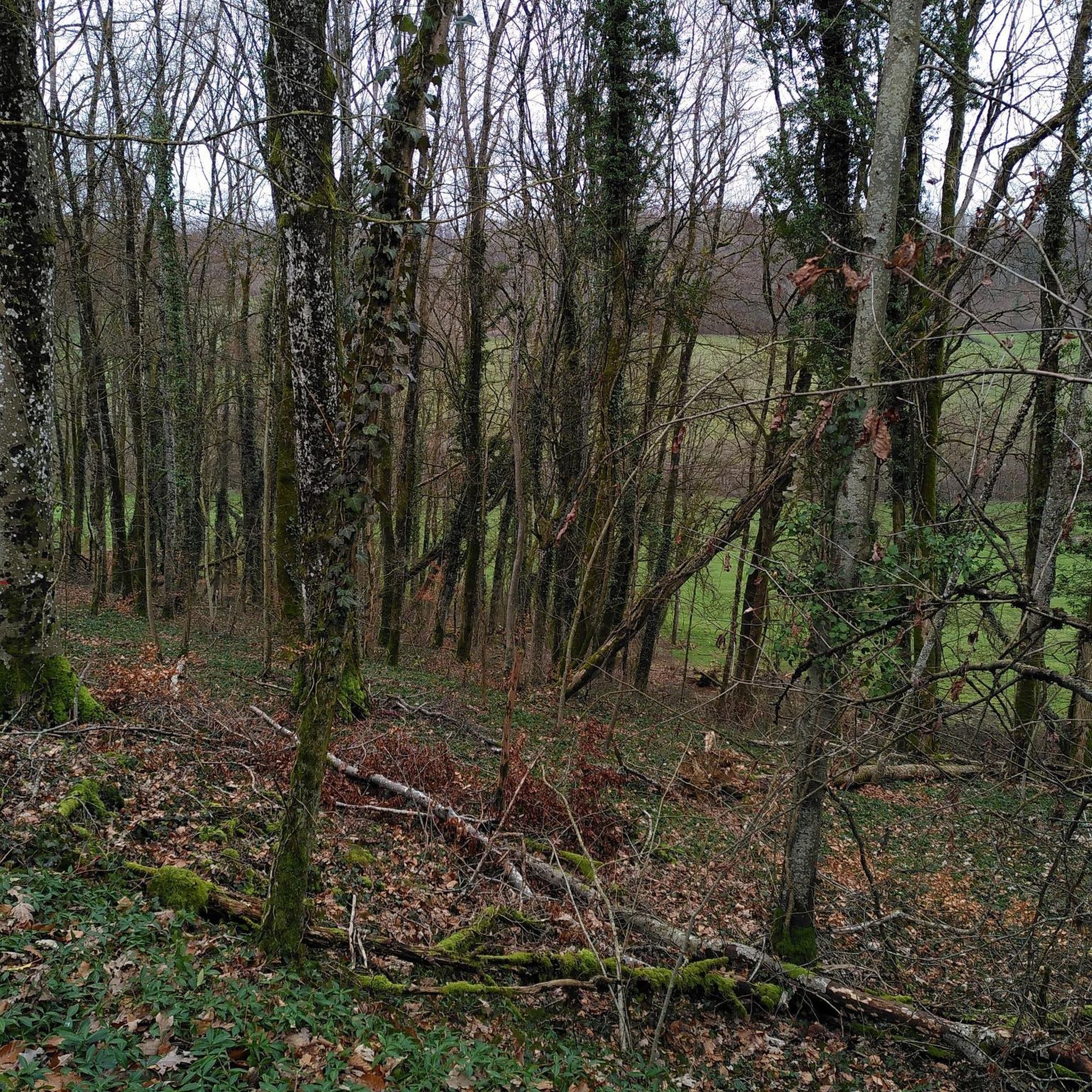
근처에 주차장과 피크닉 공간이 있는 즐거운 하이킹입니다. 샘으로 이어지는 길은 약간 가파르고 비가 오면 미끄러울 수 있습니다. 사비누스 동굴은 방문할 가치가 있으며, 아이들과 함께 갈 때는 주의하세요.
0
0

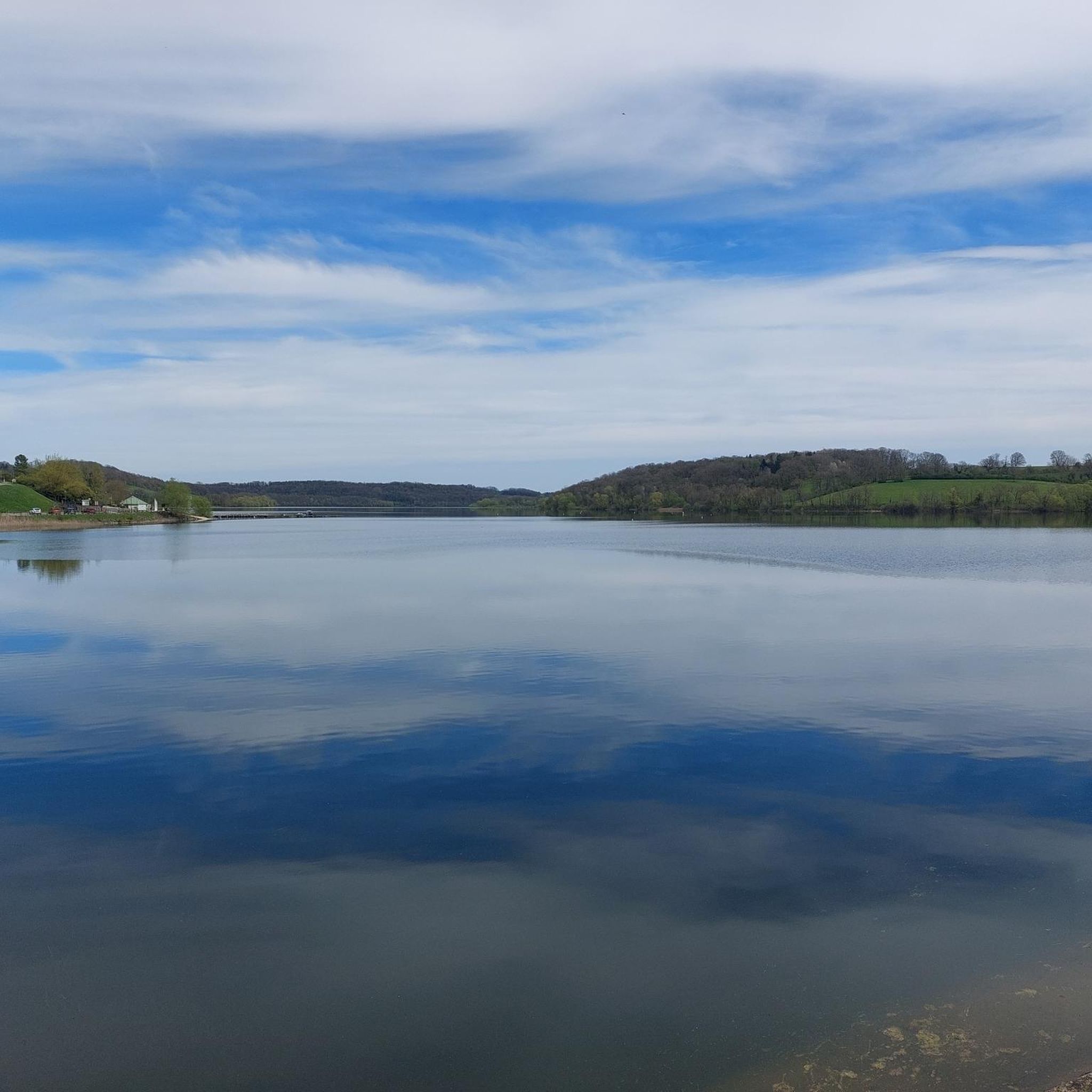
A beautiful local recreation area for hiking, swimming, and other recreational activities. The path around the lake is more suitable for hiking than cycling. We still managed it, though.
1
0

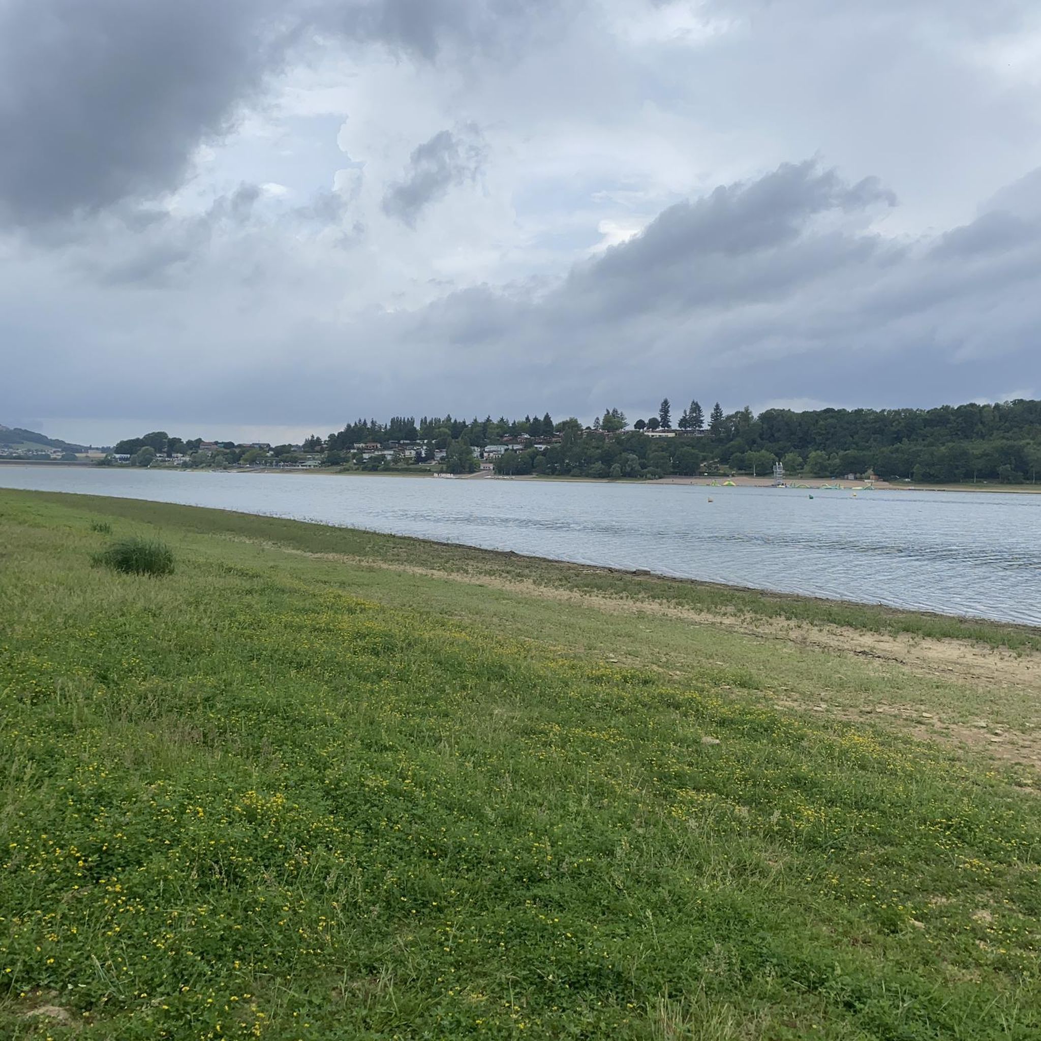
A very beautiful circular route around Lac de la Liez, whether on foot or by bike.
0
0

From this road you have a wonderful view of Langres, which rises on the hill opposite.
1
0

This vast expanse of water of 290 ha allows the practice of many activities. If you have a sporty soul, a 16 km route even allows you to go around it on foot or by mountain bike.
2
0

The Marne (Latin Matrona) is a river in France. It rises on the plateau of Langres, in the municipality of Balesmes-sur-Marne, at an altitude of about 420 meters. It initially drains to the northwest, later turns to the west and southwest and flows into the Seine as a right tributary after about 514 kilometers between Charenton-le-Pont and Ivry-sur-Seine, just southeast of Paris. Several French departments are named after the Marne, namely Haute-Marne, Marne, Seine-et-Marne and Val-de-Marne.
3
0

Originally, Lake Liez was called “Lecey dyke”. This is linked to the digging of the Marne-Saône canal. The Liez dam is 490 meters long and 16 meters high. It is the largest of the four feeding lakes of the upper reach of the canal between Champagne and Burgundy.
2
0
컬몬트 주변에서 가장 인기 있는 명소


더 살펴보기
다른 지역의 최고의 하이킹를 살펴보세요.
