론샤임 최고의 러닝 경로
4.4
(188)
2,507
달리기 하는 사람
260
러닝
론샤임에서 하이킹하며 알제이 웜스 구석 부분까지 살펴볼까요? 론샤임에 있는 모든 하이킹 및 워킹 경로 컬렉션 중 가장 멋진 하이킹 경로를 엄선하여 소개해드릴게요. 다른 하이커가 공유한 실제 팁과 사진을 살펴보고 후기를 읽으며 마음에 드는 론샤임 워킹 경로를 찾아보세요.
마지막 업데이트: 10월 3, 2026
9
달리기 하는 사람
7.25km
00:49
130m
130m
보통 조깅. 좋은 체력 필요. 대부분 포장된 지면. 실력과 관계없이 누구나 갈 수 있음.
8
달리기 하는 사람
21.2km
02:20
310m
310m
어려운 조깅. 우수한 체력 필요. 대부분 포장된 지면. 실력과 관계없이 누구나 갈 수 있음.

6
달리기 하는 사람
10.2km
01:07
130m
130m
보통 조깅. 좋은 체력 필요. 대부분 포장된 지면. 실력과 관계없이 누구나 갈 수 있음.
4
달리기 하는 사람
8.63km
00:58
120m
120m
보통 조깅. 좋은 체력 필요. 대부분 포장된 지면. 실력과 관계없이 누구나 갈 수 있음.
4
달리기 하는 사람
8.06km
00:52
60m
60m
보통 조깅. 좋은 체력 필요. 대부분 포장된 지면. 실력과 관계없이 누구나 갈 수 있음.
더 다양한 경로와 다른 탐험가들의 추천을 살펴보세요.
이미 komoot 계정이 있나요?
투어 추천은 다른 사람들이 komoot에서 완료한 수천 개의 활동을 바탕으로 구성되어 있습니다.
오늘 무료 계정으로 시작하세요
다음 모험이 기다리고 있어요.
커뮤니티 팁

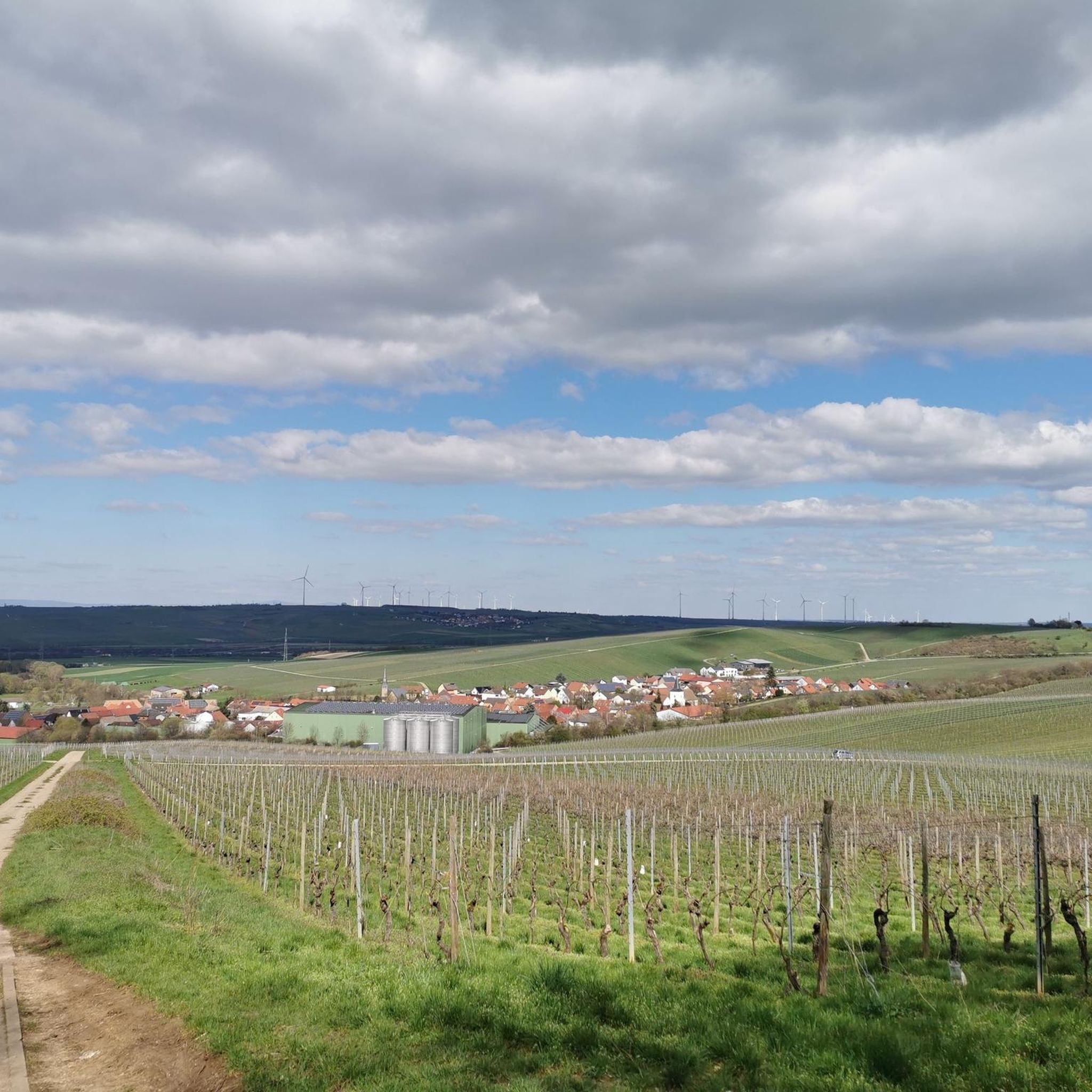
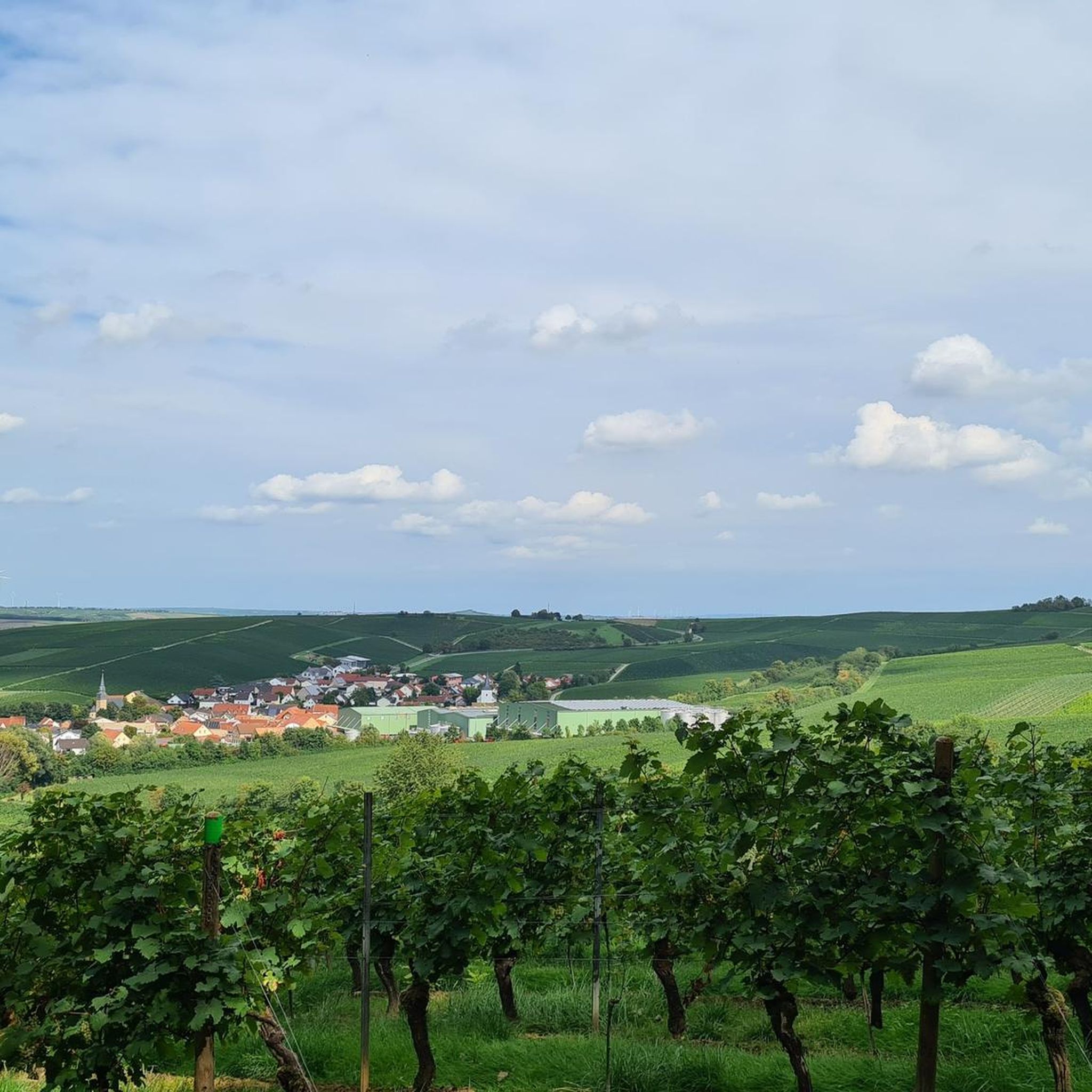
Galgenberg은 실제로 Albig와 Alzey-Schafhausen 사이에 있는 250m 높이의 언덕입니다. 처음에는 믿고 싶지 않았습니다. 그 이유는 저희 지역에서는 산 이름이 대부분 포도밭 이름으로 사용되기 때문이며, Sprendlingen 근처 Badenheim에는 "Galgenberg"라는 이름의 포도밭이 있지만 Alzey 근처에는 없습니다. 또 하나 배웠습니다. 그럼에도 불구하고 이 지역을 추천할 수 있습니다. 오늘 제 투어에서 Taunus의 Felderberg, Bergstraße의 Melibokus, Petersberg(Gau-Odernheim), Hornberg(Framersheim), Wartberg(Alzey) 및 Donnersberg를 모두 보았습니다. 정말 대단한 수확입니다!
0
0

The Aulheim Valley lies within the Flonheim district in Rheinhessen. Geologically, Rheinhessen largely corresponds to the Mainz Basin, the northeastern edge of the Upper Rhine Graben. When the Upper Rhine Graben collapsed millions of years ago during the folding of the Alps, a connection was created via the Rhone Valley to a subtropical sea in the south and via the Hessian Depression to what is now the North Sea. This led to two flooding phases in the Oligocene and Miocene. The Vorholz Peninsula was only briefly flooded. The floor of the Mainz Basin consists of rock formations from the Rotliegend or Permian periods (296–251 million years ago). There was volcanic activity here from fissure volcanoes that covered the surface with layers of lava. In the Aulheim Valley, the lava was fast-flowing, low-silica lava, which cooled quickly and solidified into porous sediment with numerous gas inclusions. This made andesite unsuitable as a building material. Water and minerals penetrated the inclusions, and after the water evaporated, agates and geodes slowly formed. On the path through the Aulheim Valley from the Geistermühle to the Aulheimer Mühle, you can still see the retaining walls of the slope on the side facing Flonheim. Boundary stones can still be found here, marking the old district boundary.
1
0

Seating inside the hut, picnic table with two benches outside
0
0

The Naturfreundehaus Flonheim is an ideal place for a coffee and cake break. Please note: only open on Sundays and public holidays! A little further up is the Schauinsland viewpoint, which can be reached on foot. The Naturfreundehaus also has a rest area and playground. You can find more information at https://naturfreunde-flonheim.de/.
2
0

Beautiful tower visible from afar with benches in the lower part.
1
0

The lower part of the tower is open, you cannot go up because the hatch is locked.
1
0

Easy climb to Galgenberg with good views to the northeast - another beautiful section on the plateau
0
0

There used to be a coast here but that was a few days ago! 😉
2
0
론샤임 주변에서 가장 인기 있는 명소


더 살펴보기
다른 지역의 최고의 러닝 트레일 & 경로를 살펴보세요.
