케르켄 최고의 러닝 경로
4.3
(59)
505
달리기 하는 사람
65
러닝
케르켄에서 하이킹하며 클레베 구석 부분까지 살펴볼까요? 케르켄에 있는 모든 하이킹 및 워킹 경로 컬렉션 중 가장 멋진 하이킹 경로를 엄선하여 소개해드릴게요. 다른 하이커가 공유한 실제 팁과 사진을 살펴보고 후기를 읽으며 마음에 드는 케르켄 워킹 경로를 찾아보세요.
마지막 업데이트: 9월 28, 2026
4.0
(2)
21
달리기 하는 사람
6.29km
00:40
10m
10m
보통 조깅. 좋은 체력 필요. 대부분 포장된 지면. 실력과 관계없이 누구나 갈 수 있음.
5.0
(1)
26
달리기 하는 사람
6.74km
00:42
10m
10m
보통 조깅. 좋은 체력 필요. 대부분 포장된 지면. 실력과 관계없이 누구나 갈 수 있음.

4.5
(4)
21
달리기 하는 사람
9.33km
00:58
10m
10m
보통 조깅. 좋은 체력 필요. 대부분 포장된 지면. 실력과 관계없이 누구나 갈 수 있음.
3.0
(1)
15
달리기 하는 사람
11.8km
01:16
20m
20m
보통 조깅. 좋은 체력 필요. 대부분 포장된 지면. 실력과 관계없이 누구나 갈 수 있음.
3.0
(1)
17
달리기 하는 사람
5.65km
00:35
10m
10m
보통 조깅. 좋은 체력 필요. 대부분 포장된 지면. 실력과 관계없이 누구나 갈 수 있음.
더 다양한 경로와 다른 탐험가들의 추천을 살펴보세요.
이미 komoot 계정이 있나요?
투어 추천은 다른 사람들이 komoot에서 완료한 수천 개의 활동을 바탕으로 구성되어 있습니다.
오늘 무료 계정으로 시작하세요
다음 모험이 기다리고 있어요.
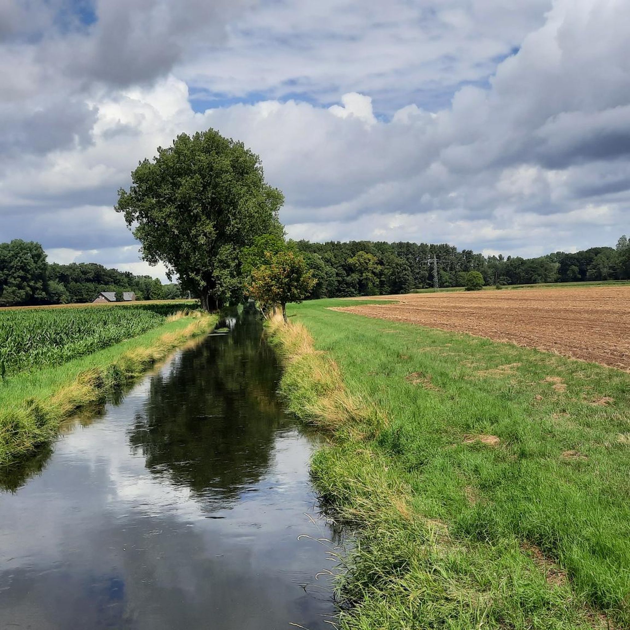
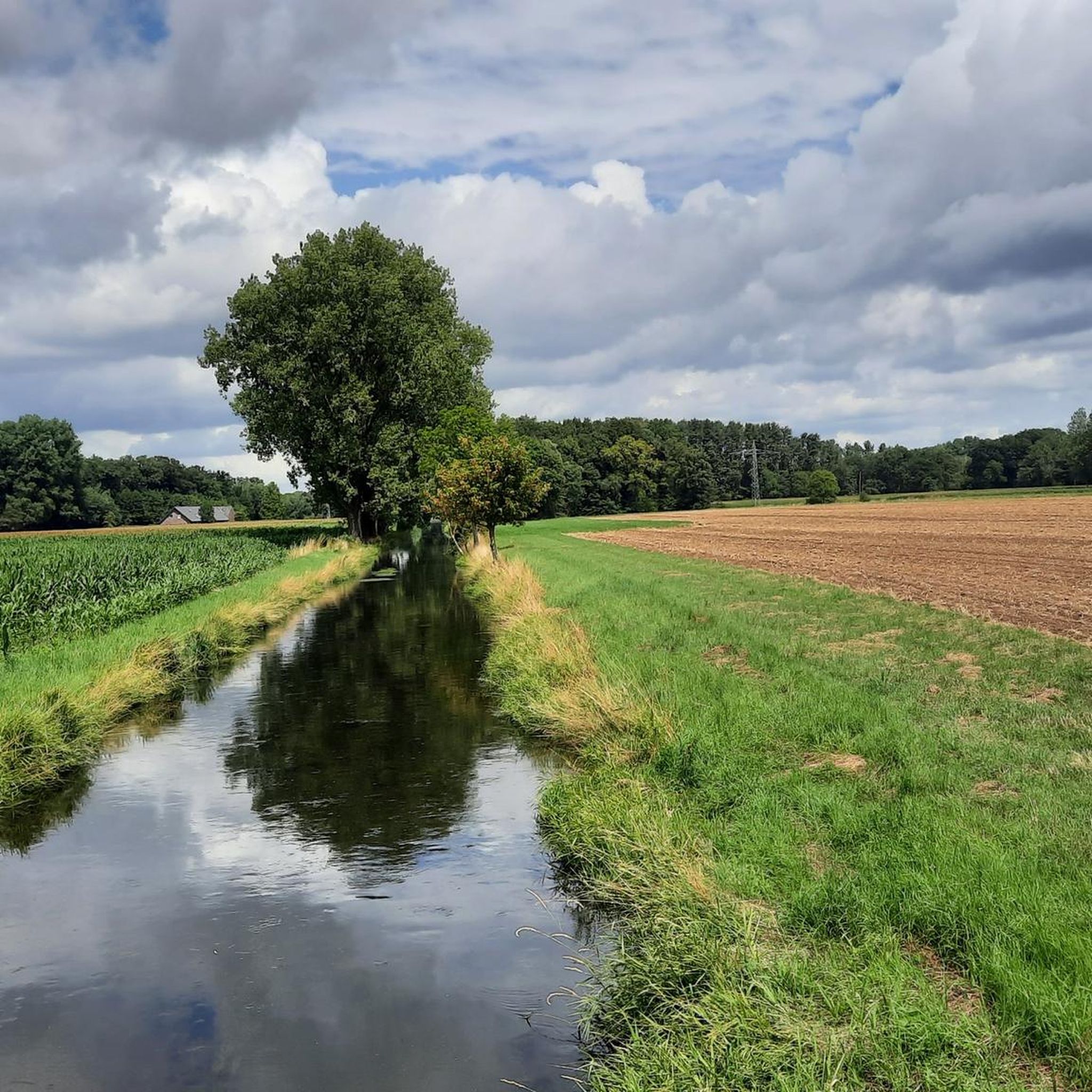
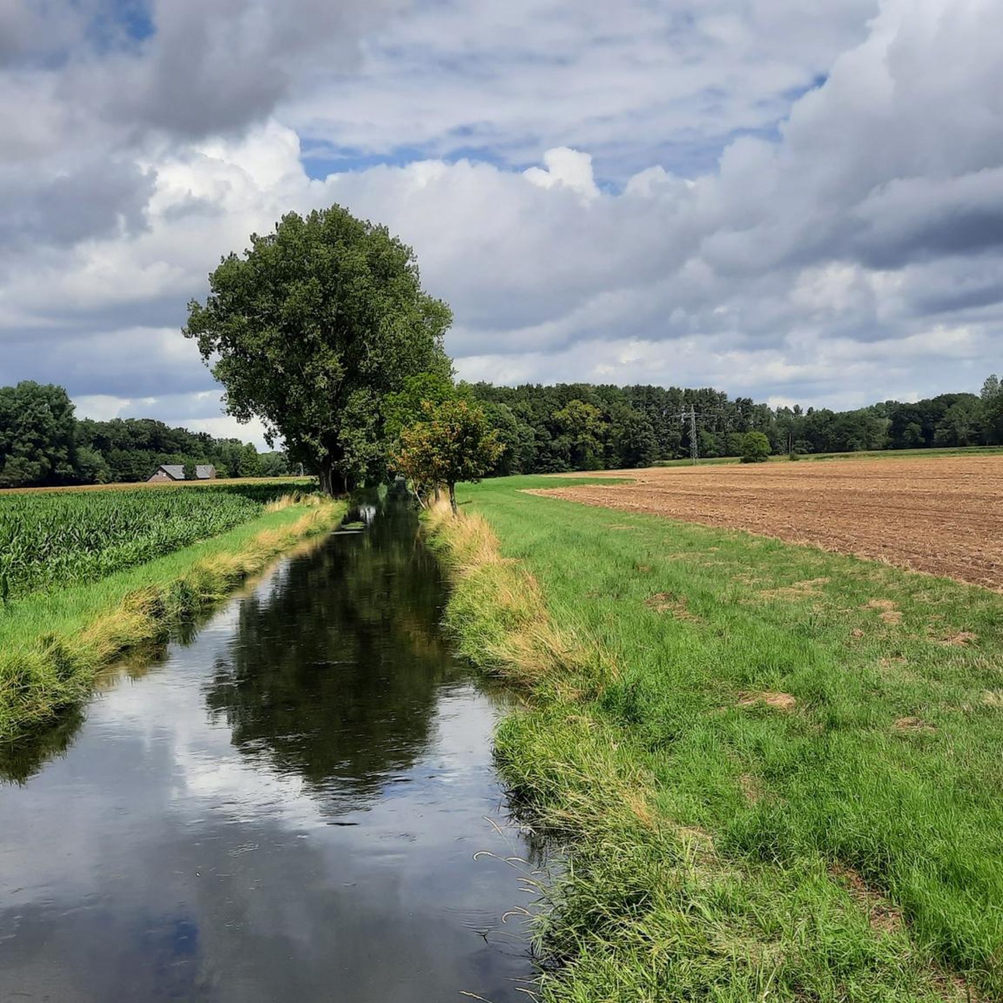
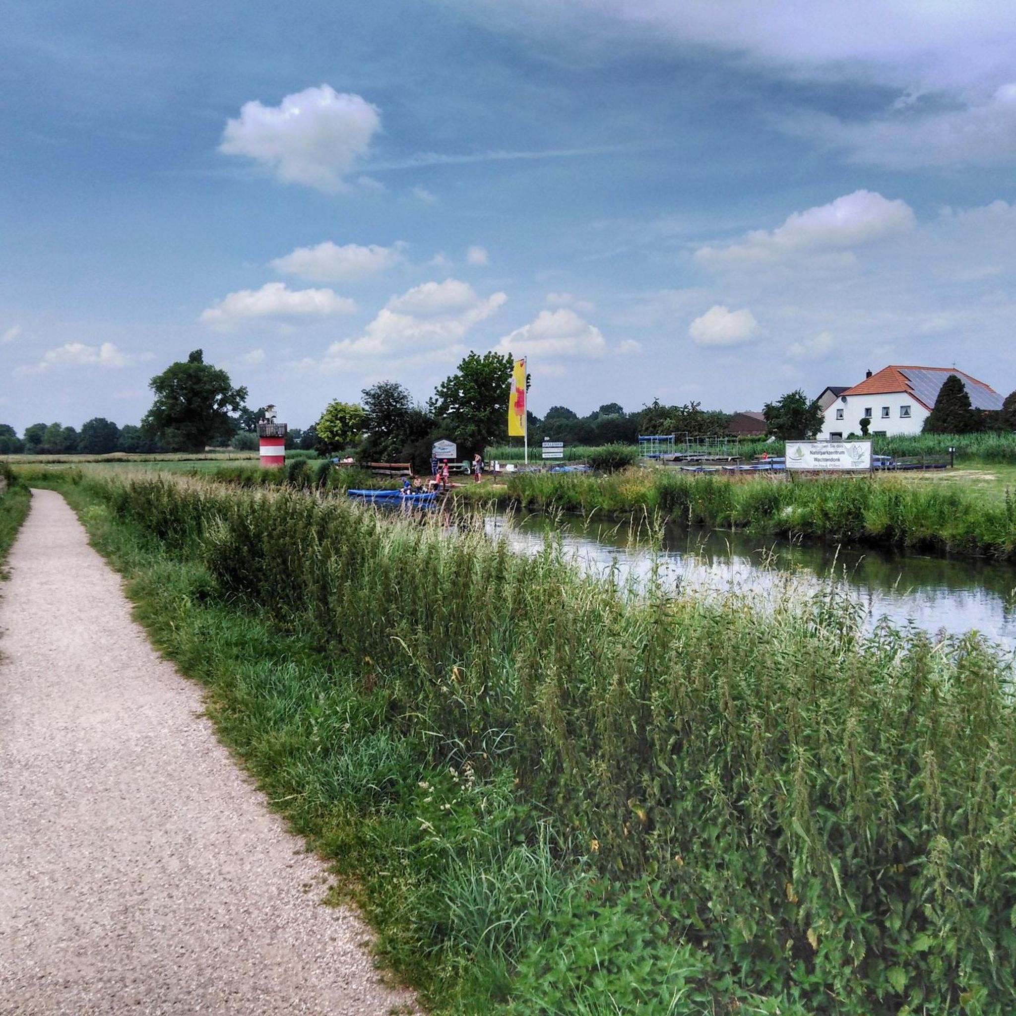

커뮤니티 팁


"The current church building dates back to the early 15th century. The core has a late Gothic appearance, while the church tower is unmistakably Neo-Gothic. The church building originates from an early 15th-century church. The core has a late Gothic appearance, while the church tower is unmistakably Neo-Gothic. The parish church of St. Peter and Paul immediately captivates its visitors and is of historical significance for the entire Lower Rhine region. Interesting guided tours, filled with stories, reveal beautiful, sometimes hidden, details." https://www.niederrhein-tourismus.de/attraktion/st.-peter-und-paul-a7d292c910
2
0
St. Hubertus Chapel Rather Weg, 47647 Kerken-Eyll "The landmark in Eyll is still quite new. The foundation stone was laid only on May 5, 2007. After initial discussions, inspired and motivated by the idea, Wim Looschelders, Paul Cladders, Mathias Teneyken, Jakob Kempkens, and Walter Stevens solidified their decision to build a new chapel in Obereyll. Renate and Theo Fürtjes provided the necessary land for the chapel. The building permit was granted in May 2006, and the new chapel was presented at the general meeting of the St. Hubertus Brotherhood on August 14, 2006. The St. Hubertus Eyll Chapel Building Association was founded, with Wim Looschelders as chairman. Two sales and information events, as well as the sale of building blocks for the chapel starting in January 2007, brought the hoped-for financial success. Much work..." The challenges were overcome by the founding members together with many helpers. The foundation stone was laid on May 5, 2007, and the tower and bell were installed on July 12. Two days later, the topping-out ceremony took place with great participation from the local population. https://www.niederrhein-tourismus.de/attraktion/st.-hubertus-kapelle-b6587dff46
2
0

In 1890, the tower was built in its current form; it is 63 meters high. The parish church is open to visitors before and after services. Tours can be booked through the local history society or the parish office.
14
0

Discover the "Kerkener Kunststrom-Radroute" circular route in Kerken
1
0
At a crossroads lies the memorial to Johannes Paulsen, who was murdered at this spot in 1668 and lived in Eyll.
1
0
<< The Black Rahm >> "The stream, designated as the Gelderner Fleuth on the watercourse map, originates in the ditch system of the Gastendonk cultural monument in Kempen. Topographical maps still refer to the stream here as the Black Rahm. After a few meters, the Fliethgraben flows in from the left, connecting the stream to the Flöthbach. The Black Rahm flows west and south past a lake, then picks up the opposing Uhlesrahm on the left, bends north, flows west past the lake, and then picks up an unnamed stream from the right, turning west again; here, the river code changes from 28641 to 28643. The Black Rahm then curves northward and changes its name to Spring in the Eyller Bruch. Only after the confluence with the Landwehrbach (Leygraaf) is it also referred to as the Gelderner Fleuth on topographical maps." https://de.wikipedia.org/wiki/Gelderner_Fleuth
1
0
"The Nieukerk Town Hall has had various locations and functions. Initially, the current municipal archive at Krefelder Straße 2 served as the town hall from 1922 to 1969. In 1890, a town hall was built on Marktstraße, which was demolished in 1970 after the merger of Aldekerk and Nieukerk to form Kerken because it was too small for the new municipality. Explanation: 1922–1969: The current municipal archive at Krefelder Straße 2 served as the town hall of the Nieukerk district. 1890: A new town hall was built on Marktstraße. 1969: Aldekerk and Nieukerk were merged to form Kerken. 1970: The town hall on Marktstraße was demolished because it was too small." Source: KI
4
0
케르켄 주변에서 가장 인기 있는 명소


더 살펴보기
다른 지역의 최고의 러닝 트레일 & 경로를 살펴보세요.
