발도로네에서 가장 멋진 20개의 산 정상
발도로네의 산 정상에 오르면 이 지역의 아름다운 모습을 제대로 구경할 수 있어요. 다만, 20
곳이나 되는 산 정상 중에서 어떤 곳을 가야 할 지 고민된다는 게 문제죠. 발도로네에서 가장 멋진 산 정상을 살펴본 후에 마음에 드는 산 정상을 다음 모험 계획에 추가해보세요.
마지막 업데이트: 8월 31, 2026


이런 장소를 발견하려면 지금 가입하세요
최고의 싱글 트랙, 봉우리 및 다양한 흥미로운 야외 장소에 대한 추천을 받아보세요.
무료 회원 가입

테트 드 라 프레마
하이라이트 • 정상
번역자 Google •
팁에 의해


오늘 무료 계정으로 시작하세요
다음 모험이 기다리고 있어요.
로그인 또는 가입하기
발도로네 주변 인기 장소

Seven MTB routes in the Southern Alps – nature, passes and valleys
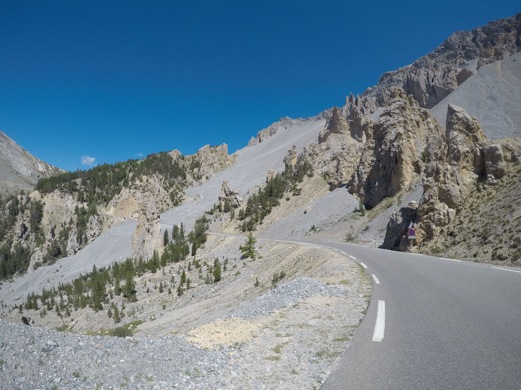
1949년 Cuneo Pinerolo - 전체 경로
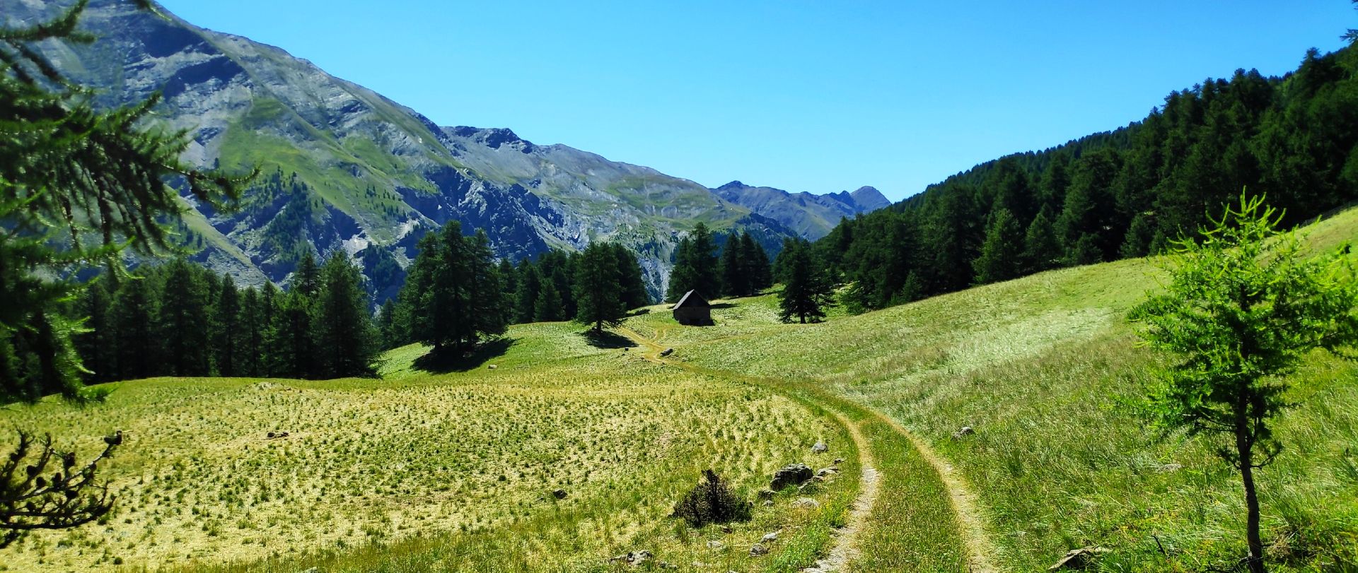
MTB 우바예 계곡 투어 – La Transubayenne

생텐디네 드 티네에서 브리앙손까지 하이킹 - 유럽 트레일 (GR 5)

산과 마르모트 — 프랑스의 우바예 트레일 (GR 56)

MigrAction - 이반일 수 스타일

The most beautiful MTB and hiking tours in the French Maritime Alps
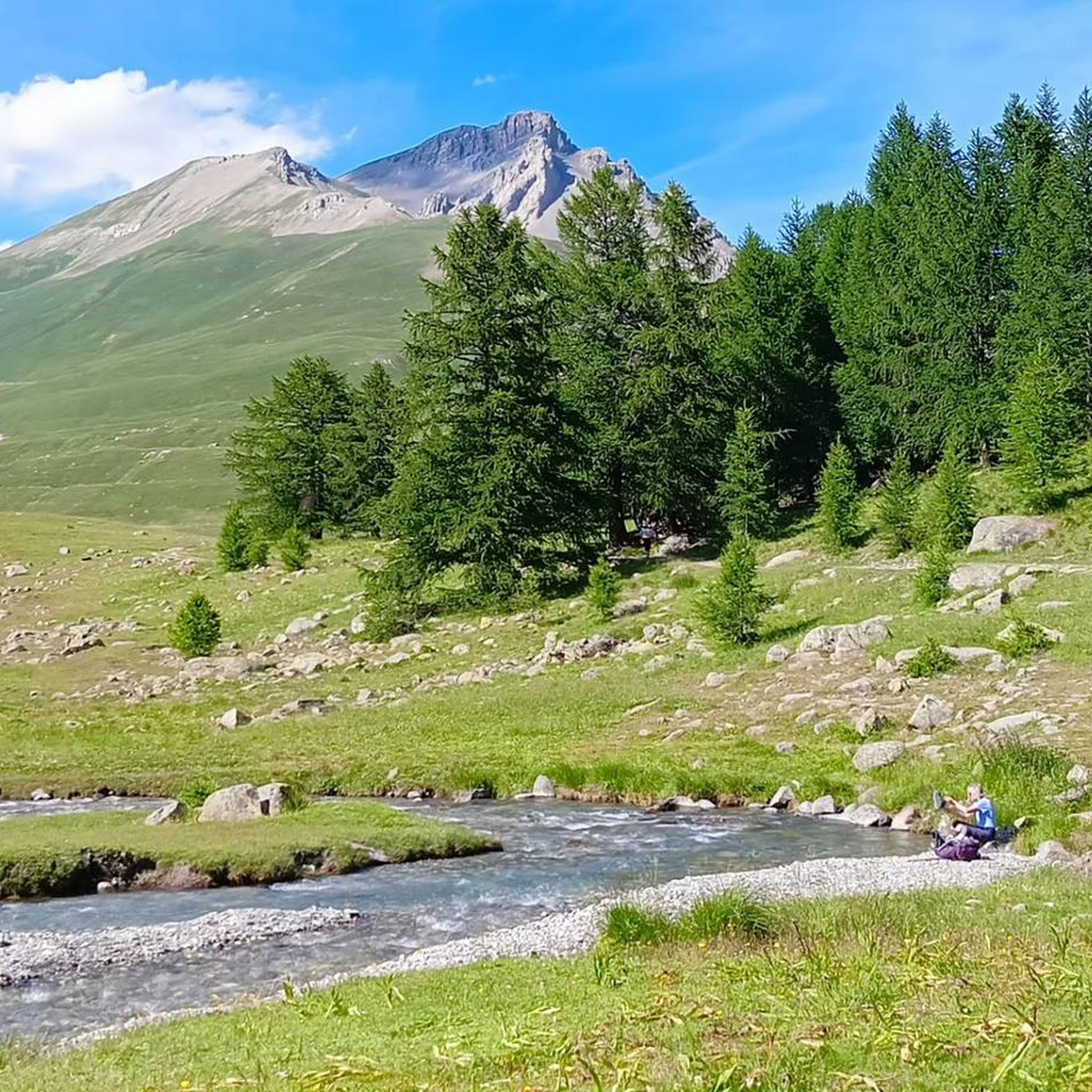
발도로네 하이킹
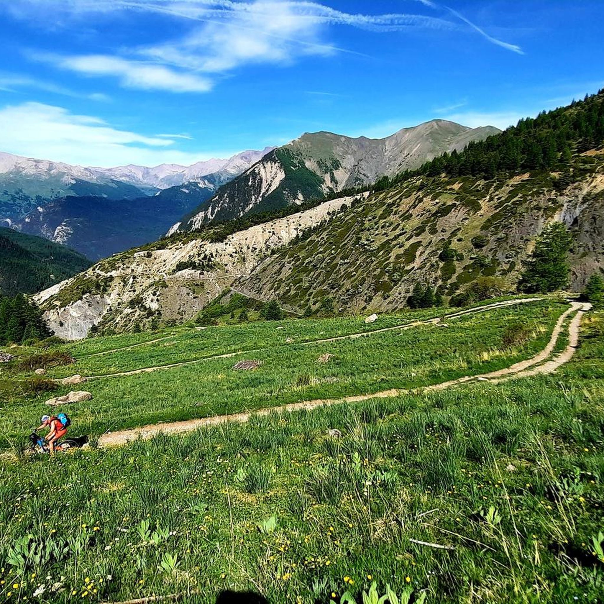
발도로네 로드 사이클링 경로
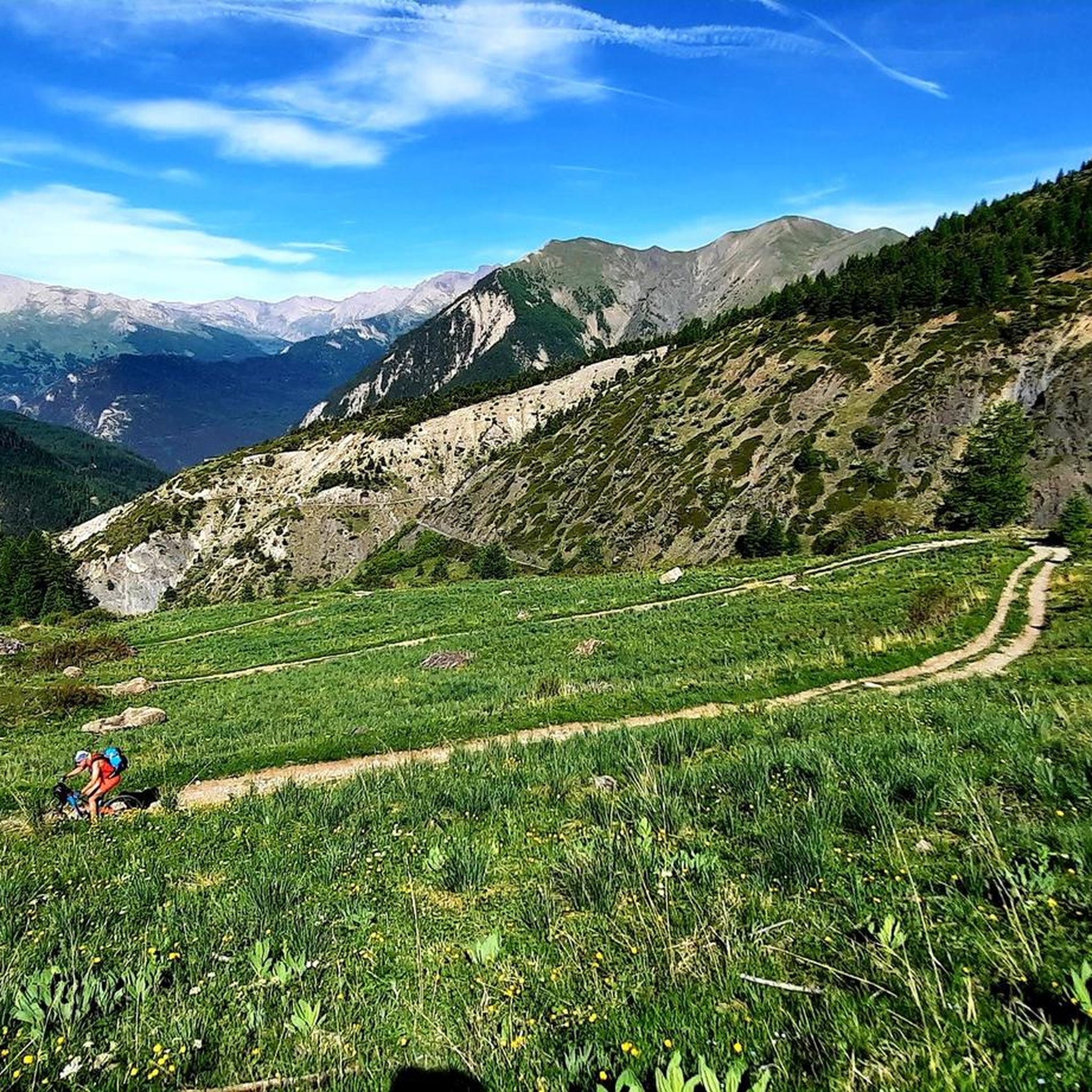
발도로네 MTB 트레일
발도로네 주변의 다른 모험


커뮤니티 팁

Easily reached from the Viviere hamlet of Acceglio along a military road that crosses beautiful pastures.
0
0

It can be reached on a good, not difficult path in about 1.40 hours, and offers an excellent view of Chiappera and the surrounding Dolomite peaks.
0
0

The ring road around the mountain comes into view once more at the end. Steep sections lead to the highest point, the Cime de la Bonette. Accessible in one direction only!
0
0


Colle del Preit welcomes you at the gates of the Gardetta plateau. The landscape here seems almost lunar with the rock that rises imposingly among the soft green meadows. You are at over 2000 meters above sea level, the climb to get there requires the right amount of effort and the atmosphere is truly unique. Admiring the panorama that surrounds you sharpens your sight and hearing, the whistle of some marmots reveals their presence among the rocks.
5
0

We also went up from Chiappera, but it's no problem for an experienced hiker. The path up to the pass is very doable, there are no exposed areas on the whole tour with great views. Highly recommended!!! 😄
1
0

Colle Greguri, at about 2350 m, offers a circular hike around Rocca Provenzale, symbol of the Maira Valley. With breathtaking views and flower-filled slopes, it offers a spectacular view of the vertical wall of Cima Provenzale.
1
0

Col de la Bonette (2715 meters above sea level) is a mountain pass in the French Alps, near the border with Italy. It is located in the Mercantour National Park on the border of the departments of Alpes-Maritimes and Alpes-de-Haute-Provence. The road over the col is the seventh highest paved road in the Alps.
0
0
발도로네 주변에서 가장 인기 있는 명소


더 살펴보기
이 가이드를 통해 발도로네 주변의 더 놀라운 정상들을 확인해보세요:
