경로

플래너

기능

업데이트

App

로그인 또는 가입

앱 다운로드

로그인 또는 가입

경로
MTB 트레일
스위스
그리손
말로자

폰트레시나

폰트레시나 최고의 MTB 라이딩 경로

4.6

(719)

6,193

자전거 타는 사람

38

라이딩

폰트레시나에 있는 멋진 산악자전거 라이딩 경로를 따라 어디로 가 볼까요? 폰트레시나에 있는 MTB 경로 컬렉션 중에서 가장 멋진 장소를 아래에서 살펴보세요.

마지막 업데이트: 8월 23, 2026

4.9

(10)

202

자전거 타는 사람

#1.

차슈나 루프 통과

74.8km

07:48

1,880m

1,880m

어려운 산악 자전거 타기. 우수한 체력 필요. 뛰어난 라이딩 실력이 필요함. 투어 중 자전거를 끌고 가야 하는 구간이 있을 수 있음.

기기에서 길안내

휴대폰으로 전송

저장

어려움

3.8

(19)

216

자전거 타는 사람

어려운 산악 자전거 타기. 우수한 체력 필요. 뛰어난 라이딩 실력이 필요함. 투어 중 자전거를 끌고 가야 하는 구간이 있을 수 있음.

어려움
guide_signup
저희가 komoot 모바일 앱로 길을 안내해 드리겠습니다.
무료 komoot 계정로 끝없는 야외 모험을 손쉽게 찾고, 맞춤 설정하며 길안내할 수 있어요.

무료 회원 가입

보통 산악 자전거 타기. 좋은 체력 필요. 뛰어난 라이딩 실력이 필요함.

보통

어려운 산악 자전거 타기. 우수한 체력 필요. 뛰어난 라이딩 실력이 필요함.

어려움

보통 산악 자전거 타기. 좋은 체력 필요. 뛰어난 라이딩 실력이 필요함.

보통
무료 회원 가입 후 폰트레시나 주변 라이딩 경로를 34개 더 확인하세요

더 다양한 경로와 다른 탐험가들의 추천을 살펴보세요.

무료 회원 가입

이미 komoot 계정이 있나요?

투어 추천은 다른 사람들이 komoot에서 완료한 수천 개의 활동을 바탕으로 구성되어 있습니다.

오늘 무료 계정으로 시작하세요

다음 모험이 기다리고 있어요.

로그인 또는 가입하기

폰트레시나 주변 인기 장소

Chur에서 Tirano까지 마운틴 바이크 & 포스트 버스를 타고 높은 고도
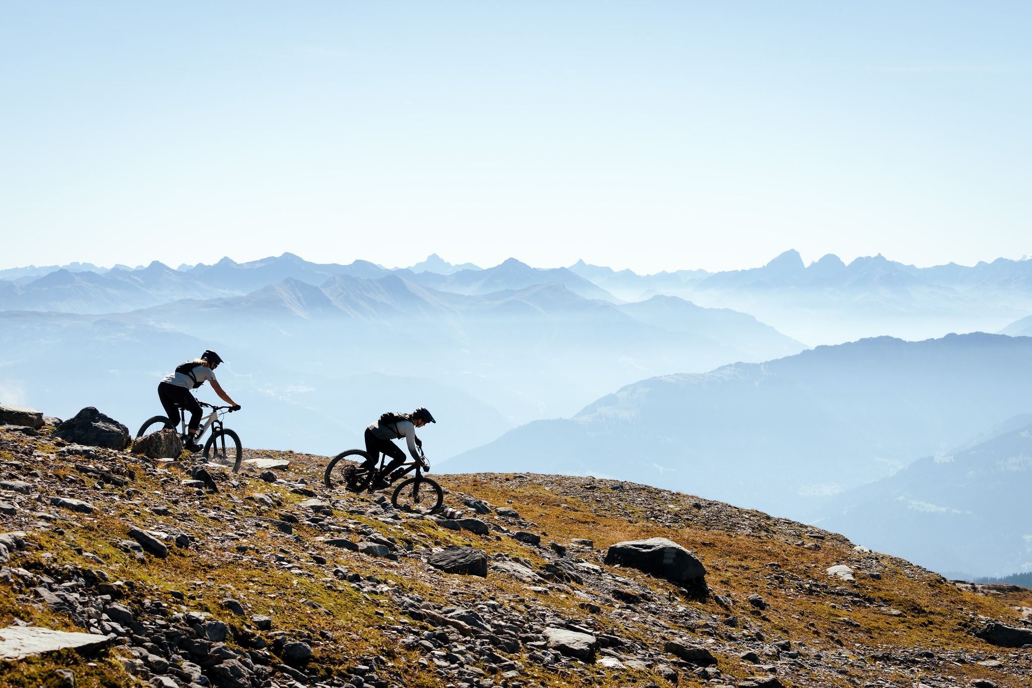
100% Women: the most beautiful MTB routes for every woman
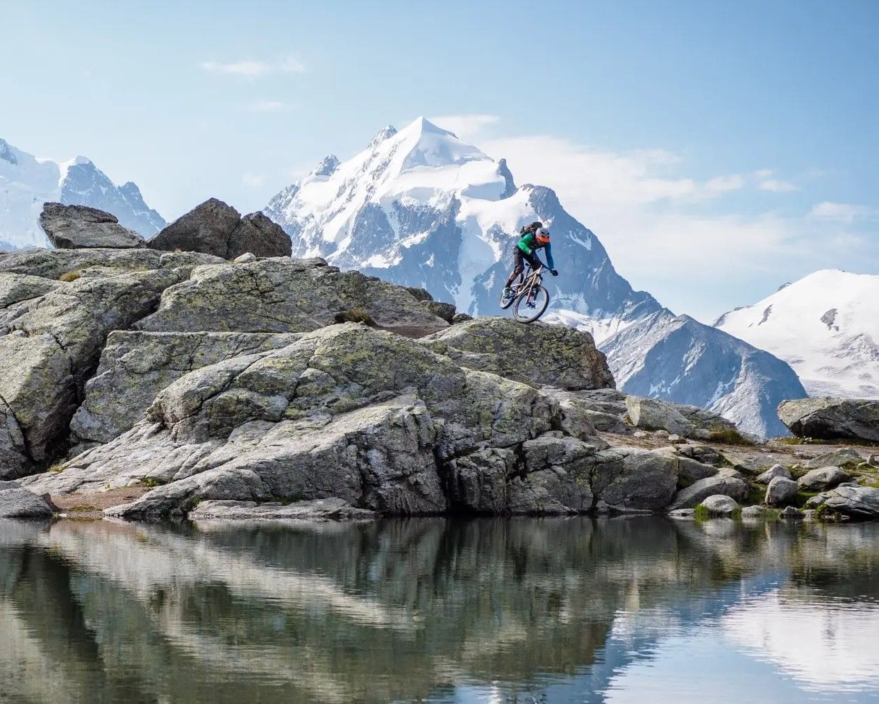
글레이셔 전망의 트레일 – 폰트레시나의 마운틴바이크
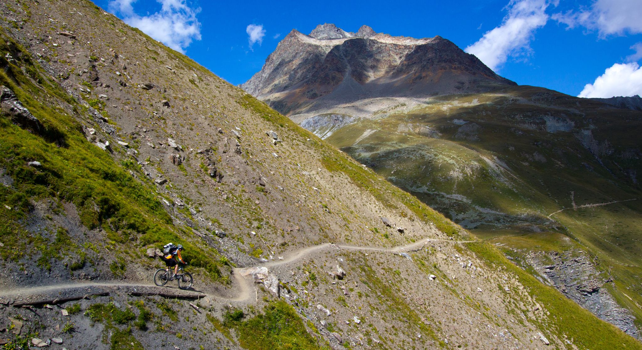
엔가딘의 플로우 트레일 400 킬로미터
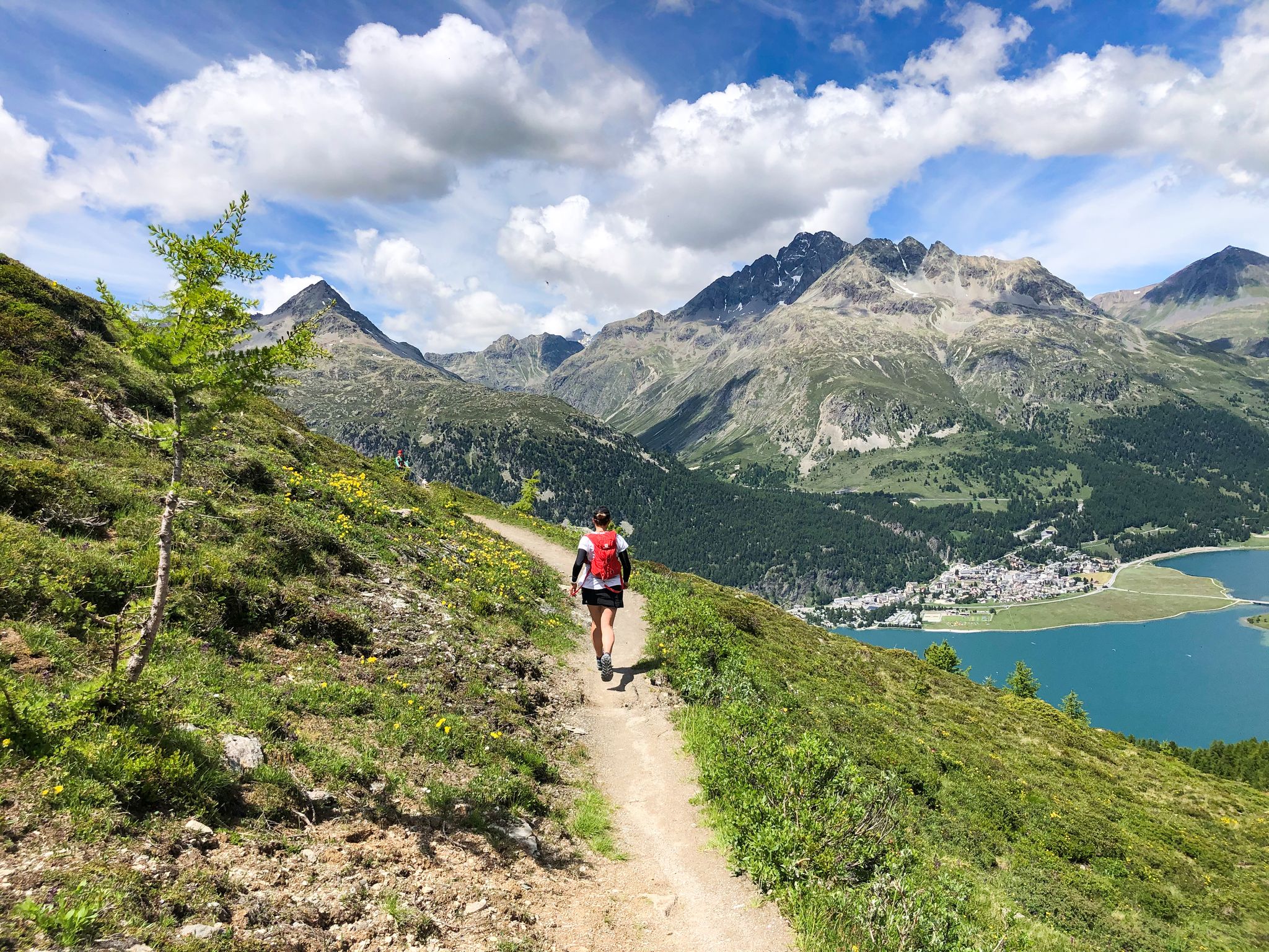
동알프스 최고의 산, 베르니나 투어 - 트레일 러닝
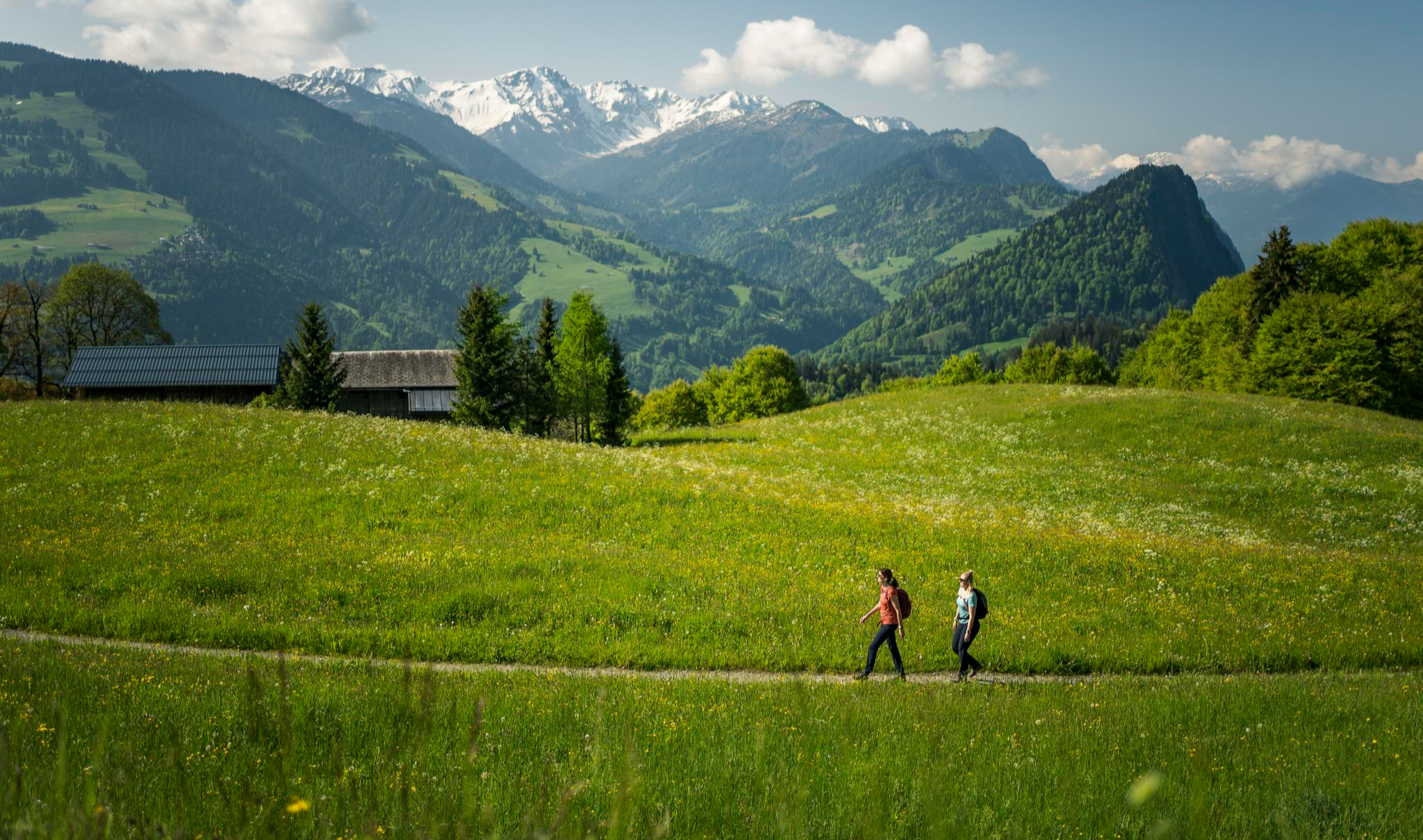
Hiking with respect and tolerance – it just makes sense!
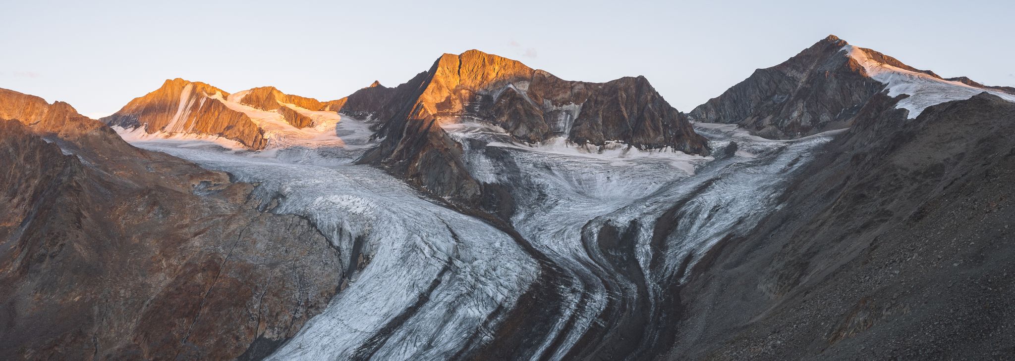
알프스의 녹는 거인들로 하는 등산
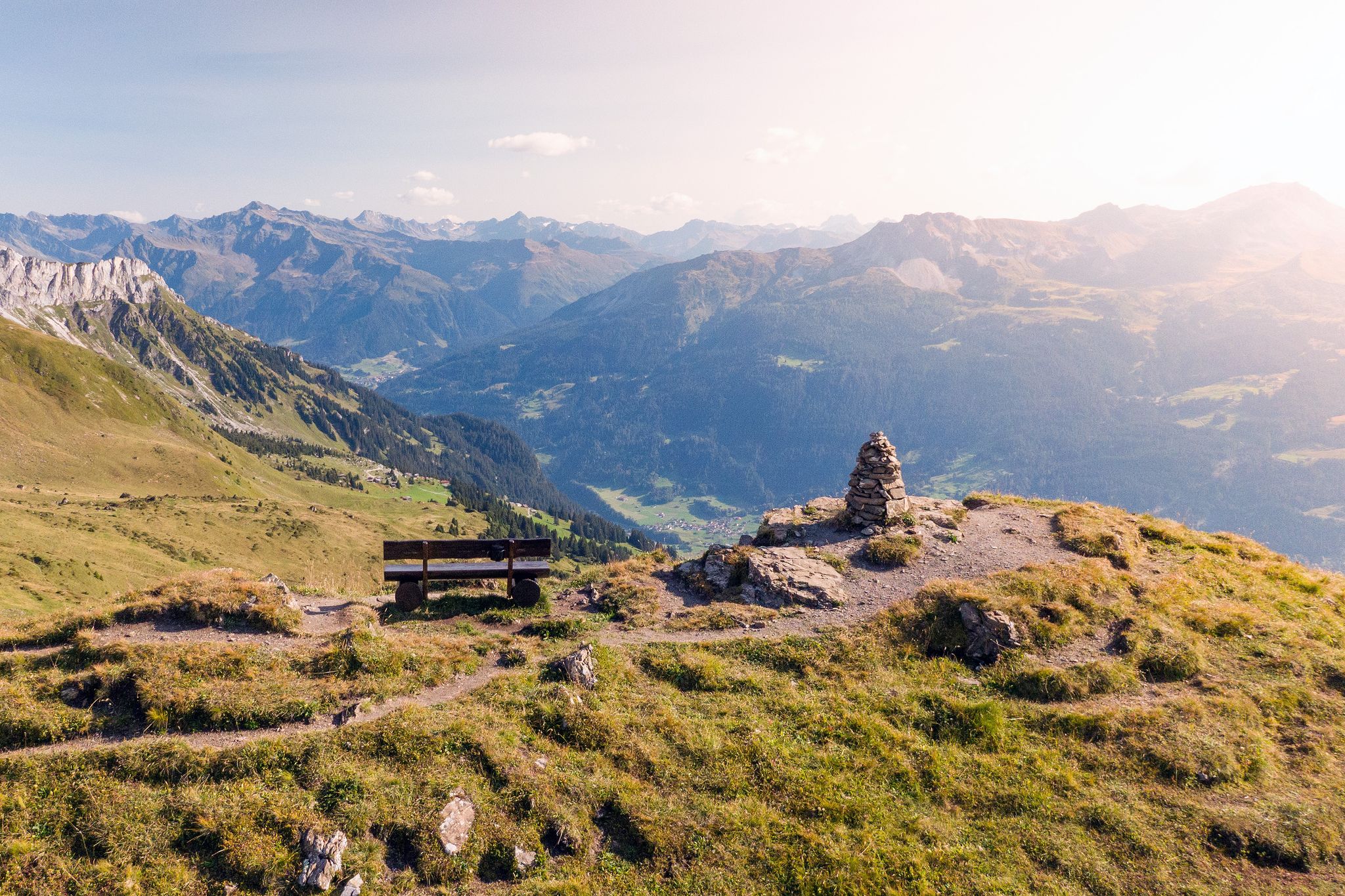
Long-distance hiking in the Grisons — 3 routes in Switzerland
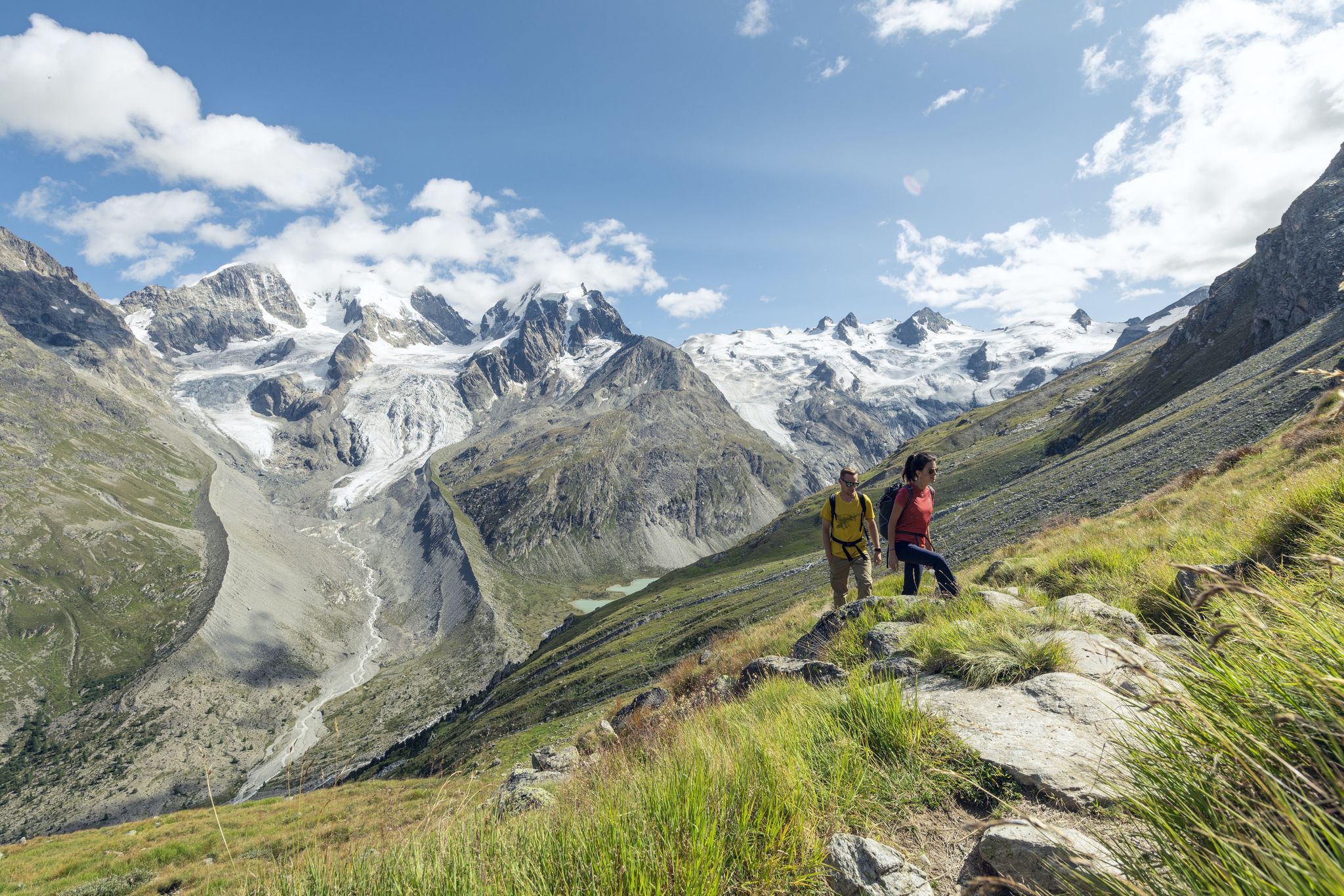
Via Engiadina와 Bernina Tour – Engadine에서의 장거리 하이킹
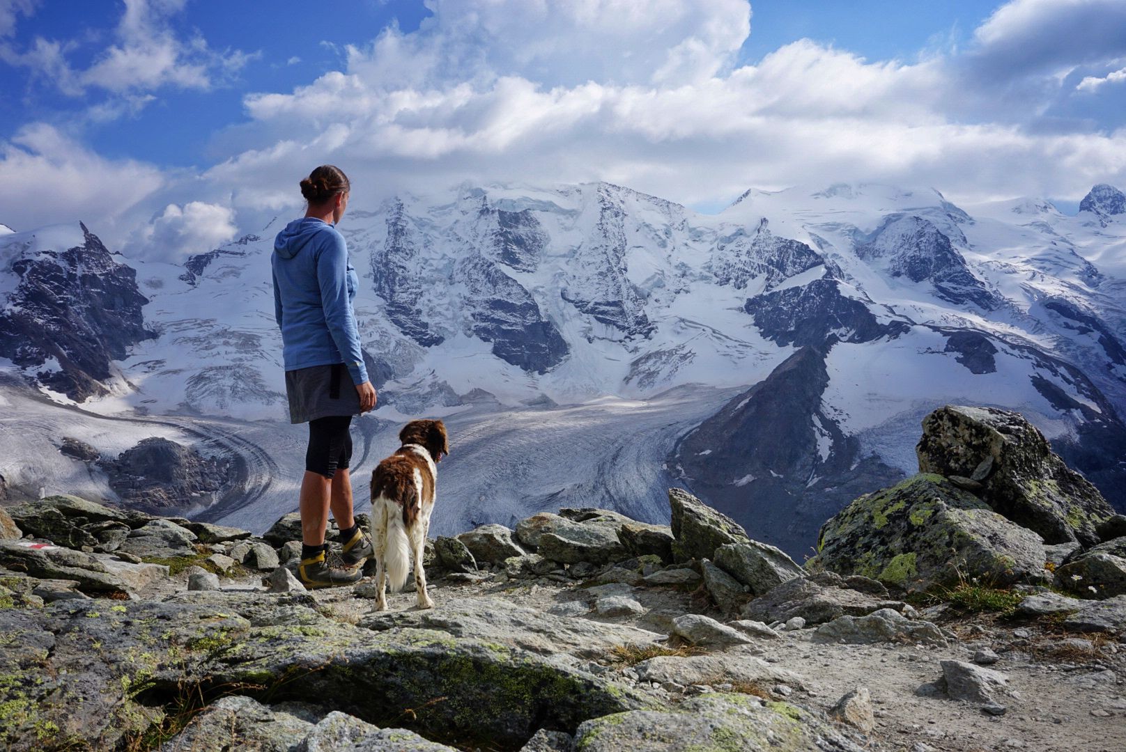
버니나 Tour – 동알프스의 유일한 4,000m 봉우리 주변 8일

폰트레시나 주변의 다른 모험

Chur에서 Tirano까지 마운틴 바이크 & 포스트 버스를 타고 높은 고도

산악자전거 라이딩 컬렉션 에 의해

Martin Donat

커뮤니티 팁

Rumchr🇦🇹
9월 1, 2026, Flowtrail Between Bernina Pass and Morteratsch

정말 아름다운 플로우 트레일입니다. 큰 어려움은 없습니다. (S0-S1)

번역: Google

0

0

Silvaplanasee는 맑은 날에는 신뢰할 수 있는 Maloja 바람이 부는 이상적인 윈드서핑 및 카이트서핑 장소입니다. 낮/밤의 큰 온도 차이로 인해 Bergell의 Maloja 패스 앞 암석이 가열되고 바람이 Inntal 계곡 아래로 불어옵니다. 이 효과는 다가오는 악천후 전선으로 인해 강화될 수 있습니다 -> 그러면 정말 제대로 됩니다. 북풍(Bise) 또는 Julier 바람의 경우 바람이 약합니다. 서핑을 위한 이상적인 출발점은 넓은 주차장이 있는 서핑 센터 옆 Silvaplana 캠핑장입니다.

번역: Google

0

0

Jenny
8월 7, 2026, Pontresina

폰트레시나는 수많은 하이킹의 출발점이며, 생모리츠로 가는 이 길은 더 힘든 활동 후에 휴식을 취하기에 좋습니다. 다양한 방법으로 확장할 수 있습니다.

번역: Google

0

0

Val da Fain 상단의 아름다운 트레일. 거의 경사가 없으며 대부분 La Stretta까지 흐르는 듯한 초원 트레일입니다. 거기서부터 가파르고 매우 긴 계단(일반적인 MTB 라이더가 탈 수 있는 구간은 가장 아래 1/3만 해당)을 통해 Livigno 계곡으로 내려가거나, 매우 노출되고 어려운 트레일을 비탈면을 따라 직접 Fuorcla di Livigno로 갈 수 있습니다. 또는 단순히 (걸어서) 근처의 작은 산악 호수로 갈 수도 있습니다.

번역: Google

0

0

Edo
7월 29, 2025, Val da Fain

To return to Livigno, at the top of the Valle del Fieno, take the path on your left, you must carry the bike by hand. DO NOT take the path on the right, it is impassable and DANGEROUS.

번역: Google

1

0

Cascada da Bernina waterfall trail The Cascada da Bernina waterfall trail The waterfall trail is a short but extremely worthwhile adventure hike along the Cascada da Bernina. In just 600 meters, it overcomes a total of 85 meters in altitude. This makes the nature all the more magnificent along the Ova da Bernina mountain stream, which rushes down into the valley over several cascades. The entrance is at the Morteratsch RhB station in the direction of the car park. From three viewing platforms you can watch the torrent make its way through the pristine mountain forest. Sometimes it falls foaming over rocks, sometimes it builds up to form natural whirlpools. On the first viewing platform, a railway viaduct on the Bernina line is at the center. On the other two platforms you can learn exciting things about hydropower and wine transport. Text / Source: Engadin Tourismus AG, Via Maistra 1, 7500 St. Moritz https://www.engadin.ch/de/bernina-glaciers/geniesser/cascada-da-bernina/

번역: Google

12

0

Paul
12월 7, 2024, Lej Nair

Tiny little lake in the middle of the most beautiful Engadin forest - well worth seeing and also a great place to take a break!

번역: Google

1

0

Paul
10월 30, 2024, Lago Bianco

Lago Bianco, Bernina Pass at 2234 meters The Lago Bianco is a reservoir at the Bernina Pass and is located in the area of the municipalities of Pontresina and Poschiavo. The lake is located directly at the pass at 2234 meters above sea level. The Lago Bianco is bordered by two dams on its north and south sides and is around three kilometers long and about 800m wide. When filled to its maximum, the depth of the Lago Bianco is over 50 meters. The reservoir on the Bernina Pass is fed by various mountain streams and glacier water, while the Cavagliasch in particular leaves the lake. The whitish, somewhat milky-looking Lago Bianco gets its name (in German "White Lake") from the inflow of sand and glacier water. The Bernina Hospice (Ospizio Bernina) is located on the western shore of Lago Bianco, and the Rhaetian Railway's train line - the Bernina Express - also runs directly along the shore. The Bernina Pass road is also located on the western side, but not directly on the lake shore. In cold winters, the lake can freeze over and in some years the beautiful black ice forms. When the reservoir is then opened by the authorities, nothing stands in the way of ice skating on Lago Bianco. Text / Source: Schweizersee.ch https://www.schweizersee.ch/lago_bianco_pontresina/

번역: Google

16

0

폰트레시나 주변에서 가장 인기 있는 경로

폰트레시나 하이킹

폰트레시나 주변에서 가장 인기 있는 명소

Huts

Store rating

komoot 모바일 앱으로 영감을 받아보세요

무료 komoot 계정로 끝없는 야외 모험을 손쉽게 찾고, 맞춤 설정하며 길안내할 수 있어요.

또는

지금 komoot에 가입하세요

Store rating

더 살펴보기

다른 지역의 최고의 MTB 트레일를 살펴보세요.

Stazerwald / 갓 다 스타즈셀레리나/슐라리그나사메단브레가글리아생모리츠레지 다 산 무레잔실스 호수실바플라나레이 다 실바플라우나레이 다 샹페르실스 임 엔가딘/세글라그 다 알비냐S-chanf주오즈레이 다 바드레트마둘랭비버라푼트샤무슈

근처 어드벤처 가이드

비앙코 호수 즐길거리

background

새로운 정복을 위한 준비를 하세요

무료로 가입하기

탐험하기
경로경로 플래너기능바우처 사용하이킹MTB 트레일로드 사이클링 경로바이크패킹사이트맵
앱 다운로드
소셜 미디어에서 팔로우하기

© komoot GmbH

개인 정보 보호 정책