디스터 최고의 등산 경로
5.0
(4)
14
등산객
3
하이킹
디스터에서 하이킹하며 하노버 구석 부분까지 살펴볼까요? 디스터에 있는 모든 하이킹 및 워킹 경로 컬렉션 중 가장 멋진 하이킹 경로를 엄선하여 소개해드릴게요. 다른 하이커가 공유한 실제 팁과 사진을 살펴보고 후기를 읽으며 마음에 드는 디스터 워킹 경로를 찾아보세요.
마지막 업데이트: 10월 10, 2026
5.0
(3)
7
등산객
10.8km
03:07
280m
280m
보통 등산 코스. 좋은 체력 필요. 실력과 관계없이 누구나 쉽게 갈 수 있는 길.
3
등산객
3.86km
01:19
180m
180m
보통 등산 코스. 모든 체력 수준에 적합. 대부분 갈 수 있는 길. 미끄러지지 않게 조심해야 함.

2
등산객
9.72km
02:53
300m
300m
보통 등산 코스. 좋은 체력 필요. 실력과 관계없이 누구나 쉽게 갈 수 있는 길.
5.0
(1)
1
등산객
16.1km
04:52
500m
500m
보통 등산 코스. 좋은 체력 필요. 실력과 관계없이 누구나 쉽게 갈 수 있는 길.
1
등산객
8.27km
02:24
220m
220m
보통 등산 코스. 좋은 체력 필요. 실력과 관계없이 누구나 쉽게 갈 수 있는 길.
투어 추천은 다른 사람들이 komoot에서 완료한 수천 개의 활동을 바탕으로 구성되어 있습니다.
오늘 무료 계정으로 시작하세요
다음 모험이 기다리고 있어요.
디스터 주변 인기 장소

Hanover trails – hiking between Steinhuder Meer and Deister
Hannover holiday region – varied cycling experiences in culture and nature
Experience nature with all your senses in the Weserbergland
하사克소니 지방 시그와르트스베그 순례 10일

33 MTB trails through German forests
디스터 하이킹
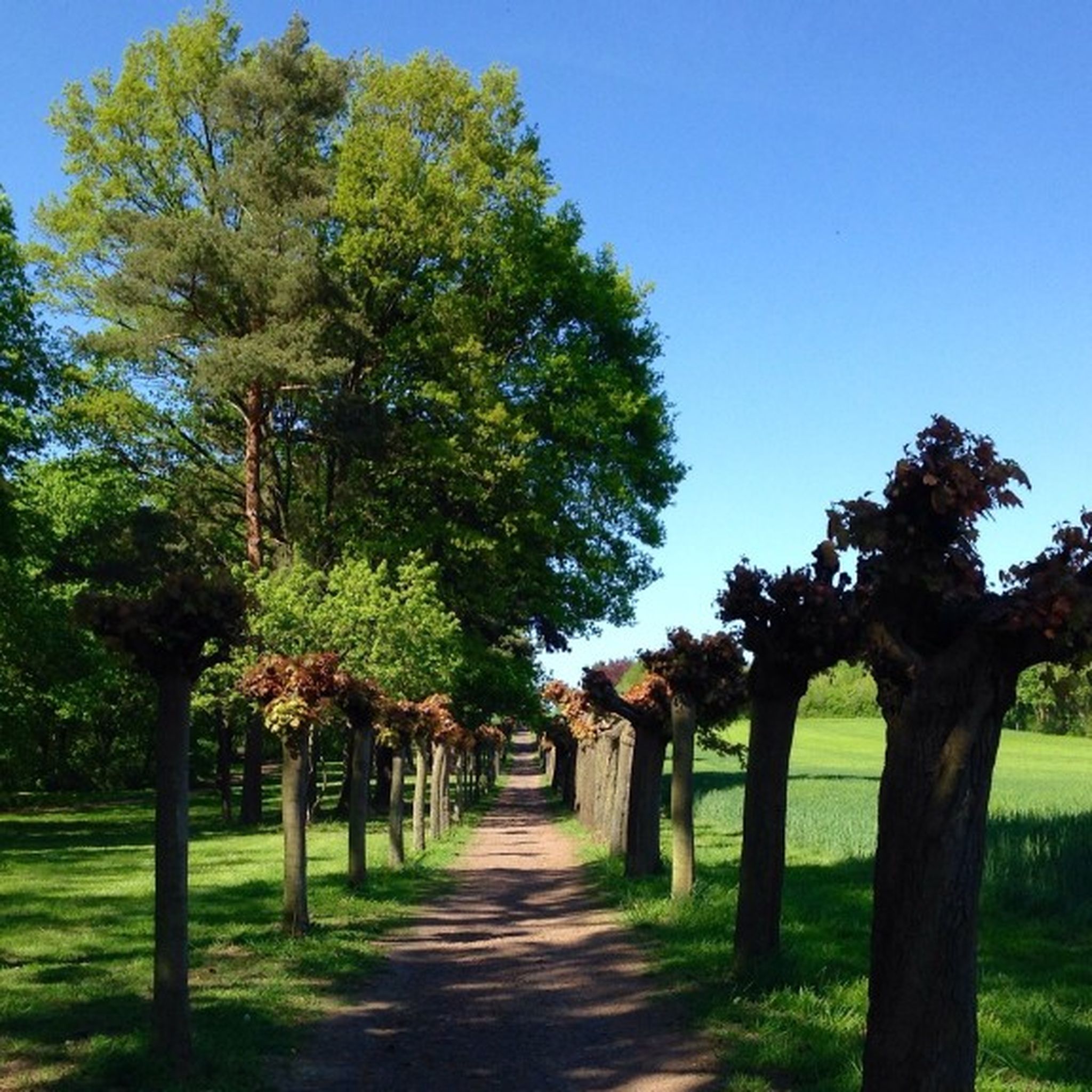
디스터 사이클링
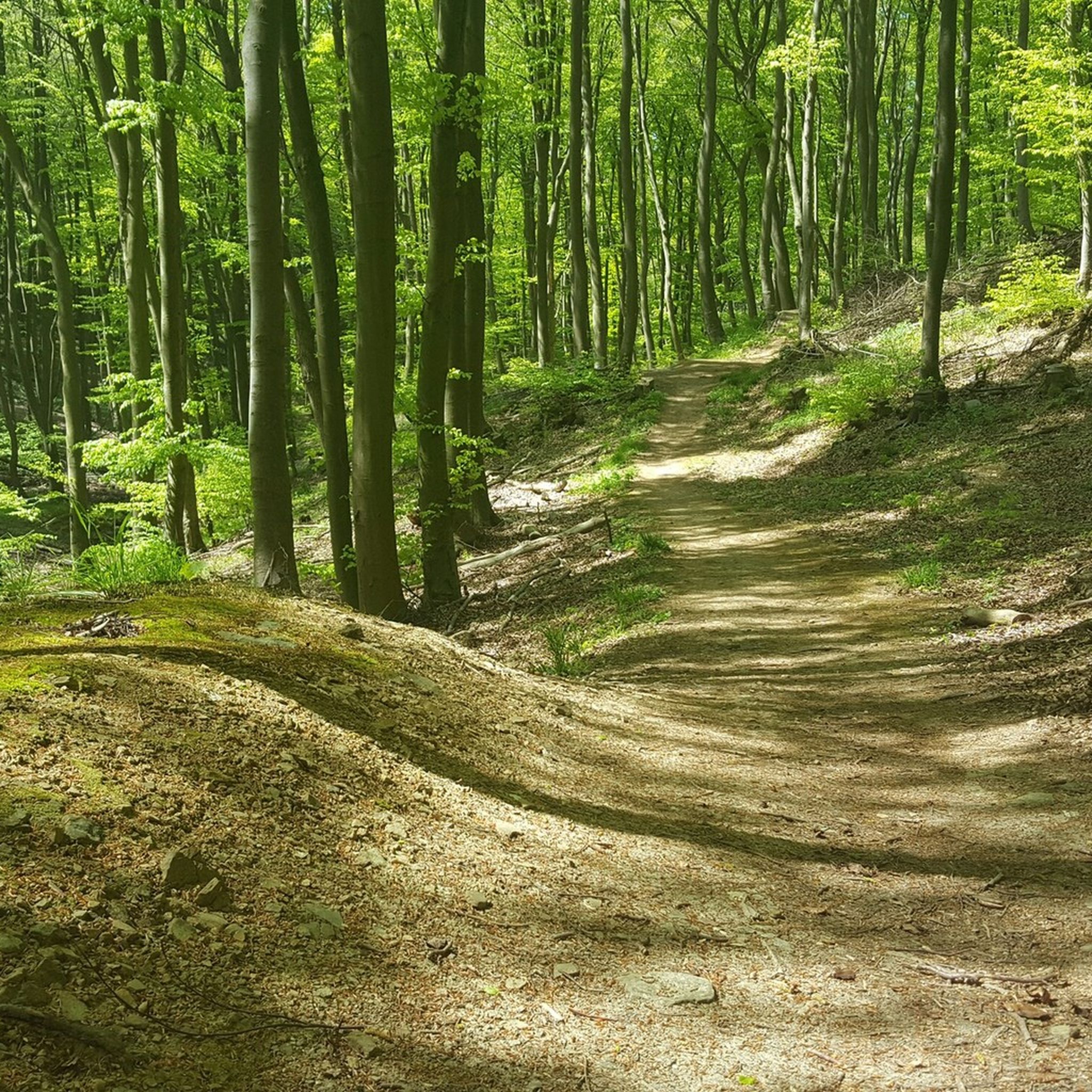
디스터 MTB 트레일
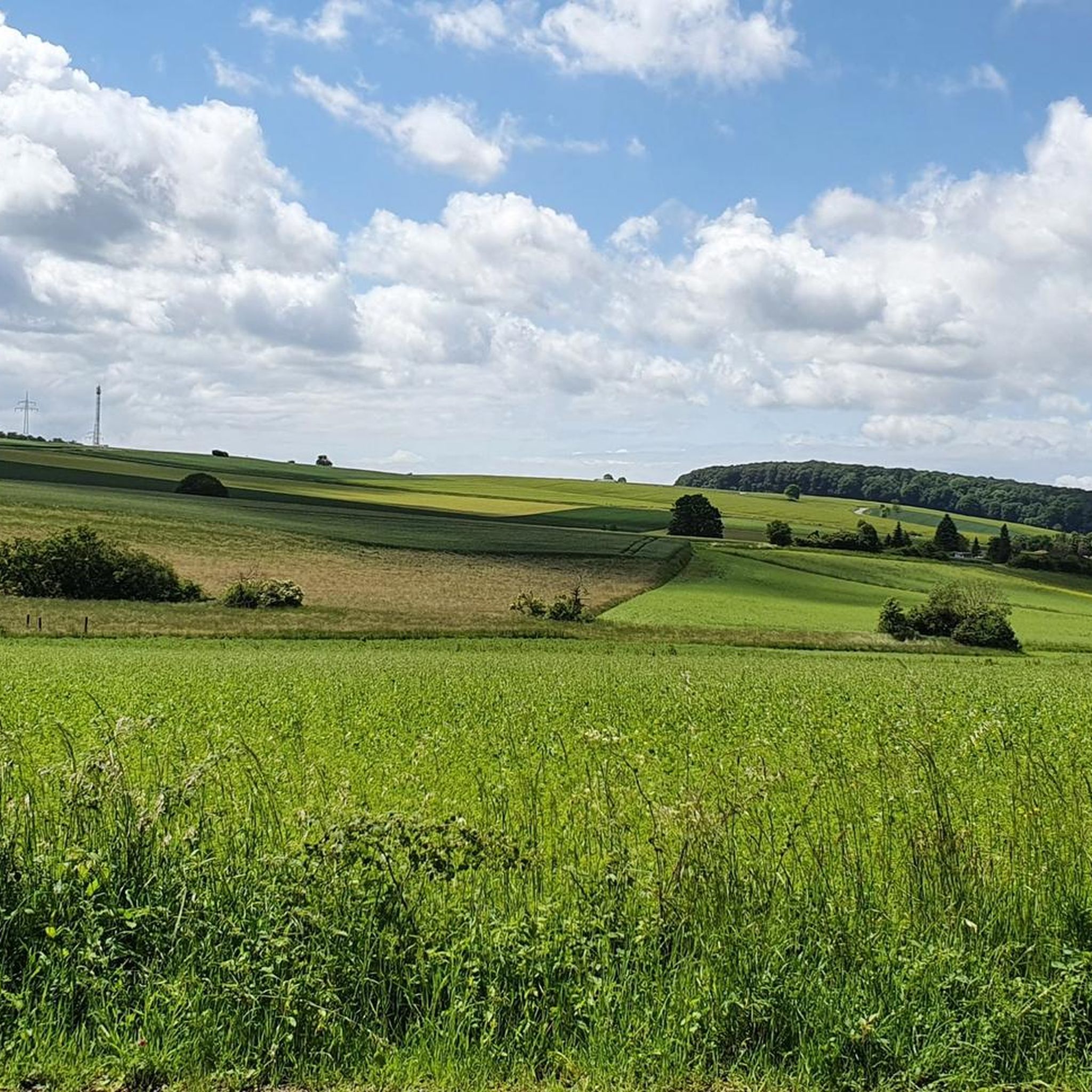
디스터 로드 사이클링 경로
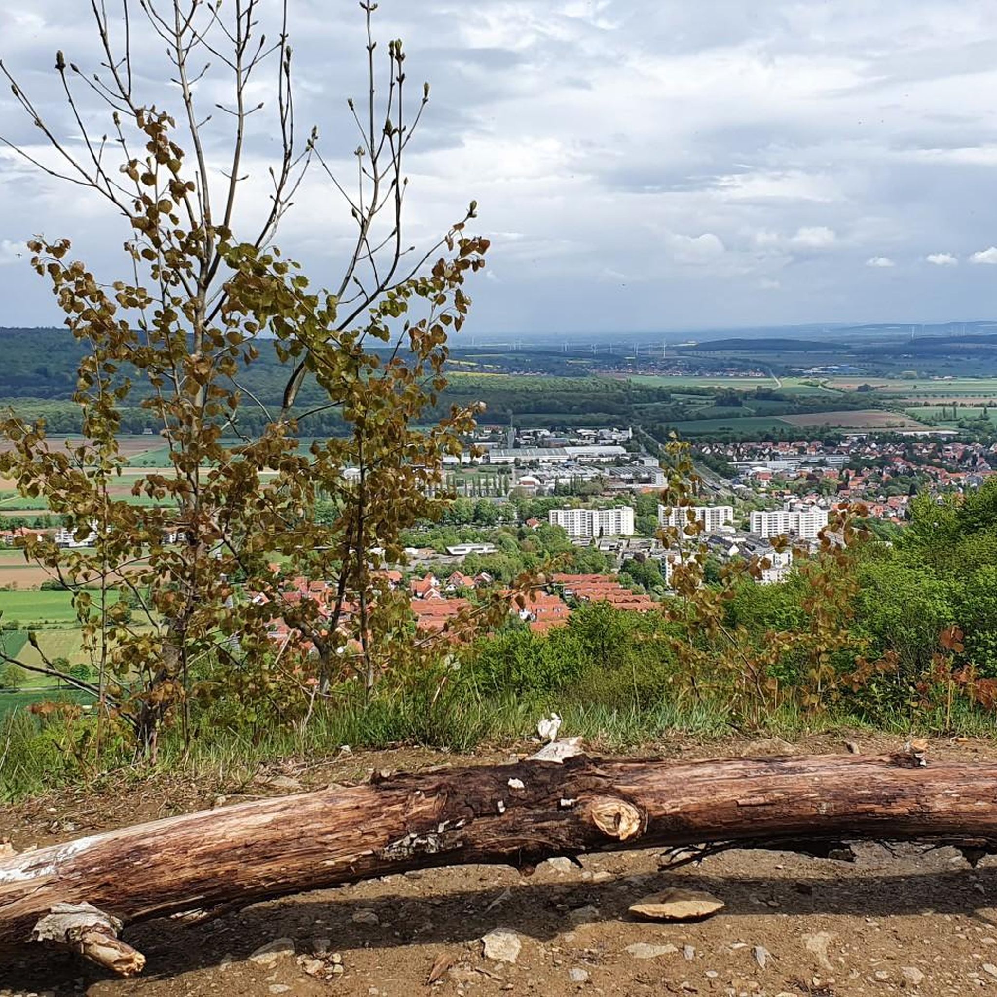
디스터 러닝 트레일
디스터의 다른 모험


커뮤니티 팁

The stone building with an information panel stands directly on the path from the open-air stage to the telecommunications tower. The door was bricked up in 1981. The inscription "1981" in the wall is unfortunately only partially preserved. "In Barsinghausen, the existing water supply was increasingly disrupted or interrupted by mining operations, and the wells ran dry. Since the mine operator was required to provide free drinking water, he had spring enclosures and reservoirs constructed in the Deister hills in 1909. Water pipes were then laid from there to the town." After mining ceased between 1956 and 1960, the Hanover district took over the water extraction facilities in 1962 and transferred them to a newly founded water association in 1964. Waterworks I ceased operation in 1980.
2
0

The Süntel Tower is temporarily closed. It may reopen on April 1st, 2026.
2
0
The Hohenstein in the Süntel hills is a striking rock formation and one of the most popular viewpoints in the Weser Uplands. From the approximately 340-meter-high cliff, there is a sweeping view across the Weser Valley and the surrounding hills. The Hohenstein's rocks are made of sandstone and drop steeply southward into the valley. From the natural viewpoints, especially the so-called "pulpit," the course of the Weser River, which meanders through the landscape in wide bends, is clearly visible. The area is part of the Süntel Nature Reserve and provides habitat for numerous animal and plant species.
1
0

Beginning of the nature reserve - please stay on the paths!
0
0

Not suitable for people with a fear of heights
0
0

The Teufelskanzel (Devil's Pulpit) is a striking vantage point in the Weser Mountains near Hessisch Oldendorf, about 16 kilometers northwest of Rinteln. It is located on the Hohenstein, a wooded plateau at an altitude of approximately 340 meters, and offers impressive views over the Weser Valley and the surrounding Weser Uplands. The Teufelskanzel rock formation is part of the Hohenstein cliffs, which are up to 40 meters high and also include the "Green Altar" and the "Hirschsprung" (Deer Leap). These cliffs drop steeply to the Weser River and are accessible via well-marked hiking trails. The ascent involves some steep steps and requires surefootedness. Once at the top, the view rewards the effort with a magnificent panorama. The region around the Teufelskanzel is rich in myths and legends. It is said that the devil once preached here, which gave the rock formation its name. Other points of interest are nearby, such as the "Green Altar," which is considered a historically significant site and may have once served as a sacrificial site. For hikers, there's a circular route that leads from Zersen through the Blutbach Valley up to Hohenstein. The route is approximately eight kilometers long and leads through diverse landscapes with deciduous forests and open rocks. There are several rest stops along the way, including the Baxmannbaude hut, which is a great place to stop for a break.
0
0

Historical facility related to coal mining in the region
0
0


더 살펴보기
다른 지역의 최고의 산악 하이킹 & 경로를 살펴보세요.
