롱덴 최고의 워킹 & 하이킹 경로
4.5
(961)
8,207
등산객
335
하이킹
Komoot에 등록된 롱덴 내 트레일 및 경로 컬렉션 중에서 하이킹과 워킹을 가장 멋지게 즐길 수 있는 곳을 알려드릴게요. 아래에서 각 경로의 상세 정보를 모두 확인한 후, 롱덴 속 자연에서 즐거운 시간을 누려보세요.
마지막 업데이트: 10월 12, 2026
4.4
(5)
60
등산객
3.54km
01:11
170m
170m
Embark on the Pontesford & Earl's Hill loop for an easy 2.2 miles (3.5 km) hike that still offers a good workout with 547 feet (167 metres) of elevation gain, typically completed in about 1 hour and 10 minutes. This route takes you through lush woodlands, vibrant with native trees like oak and beech, before opening up to expansive fields. While generally considered easy, be prepared for some steep climbs, especially as you ascend towards the summits of Pontesford Hill and Earl's Hill. From these vantage points, you'll be rewarded with sweeping 360-degree panoramic views across the Shropshire Hills Area of Outstanding Natural Beauty, reaching as far as the Cheshire Plains and the distinctive outlines of the Stiperstones. The paths vary from hard-stoned surfaces to rocky sections, which can become muddy after wet weather, adding to the adventure.
When planning your visit, be aware that the initial climb from the car park is noted as very steep, so wear appropriate footwear. The Shropshire Wildlife Trust manages parts of the reserve and offers two waymarked routes: green signs for an easier path and purple signs for a more demanding route that leads to the summit. If you aim for the hilltops, you should be prepared for significant elevation gain and potentially uneven terrain. The trail is accessible year-round, but spring offers the added beauty of woodlands vibrant with wild garlic, bluebells, and various blossoms.
This loop is particularly notable for its rich history and ecological significance. Both Pontesford Hill and Earl's Hill are home to Iron Age hillforts, where you can still see remnants of ancient earthworks and ditches, offering a glimpse into their strategic past. Earl's Hill is also designated as a Site of Special Scientific Interest (SSSI) due to its unique flora and fauna, having been the Shropshire Wildlife Trust's first nature reserve. The hills themselves were formed millions of years ago by volcanic activity, contributing to their distinctive
5.0
(3)
70
등산객
3.65km
01:13
170m
170m
초급용 하이킹. 모든 체력 수준에 적합. 실력과 관계없이 누구나 쉽게 갈 수 있는 길.

4.8
(5)
57
등산객
9.10km
02:42
250m
250m
보통 하이킹. 좋은 체력 필요. 실력과 관계없이 누구나 쉽게 갈 수 있는 길.
4.8
(4)
45
등산객
6.98km
02:09
230m
230m
보통 하이킹. 좋은 체력 필요. 실력과 관계없이 누구나 쉽게 갈 수 있는 길.
4.3
(10)
41
등산객
6.10km
01:38
70m
70m
초급용 하이킹. 모든 체력 수준에 적합. 실력과 관계없이 누구나 쉽게 갈 수 있는 길.
더 다양한 경로와 다른 탐험가들의 추천을 살펴보세요.
이미 komoot 계정이 있나요?
투어 추천은 다른 사람들이 komoot에서 완료한 수천 개의 활동을 바탕으로 구성되어 있습니다.
오늘 무료 계정으로 시작하세요
다음 모험이 기다리고 있어요.
커뮤니티 팁

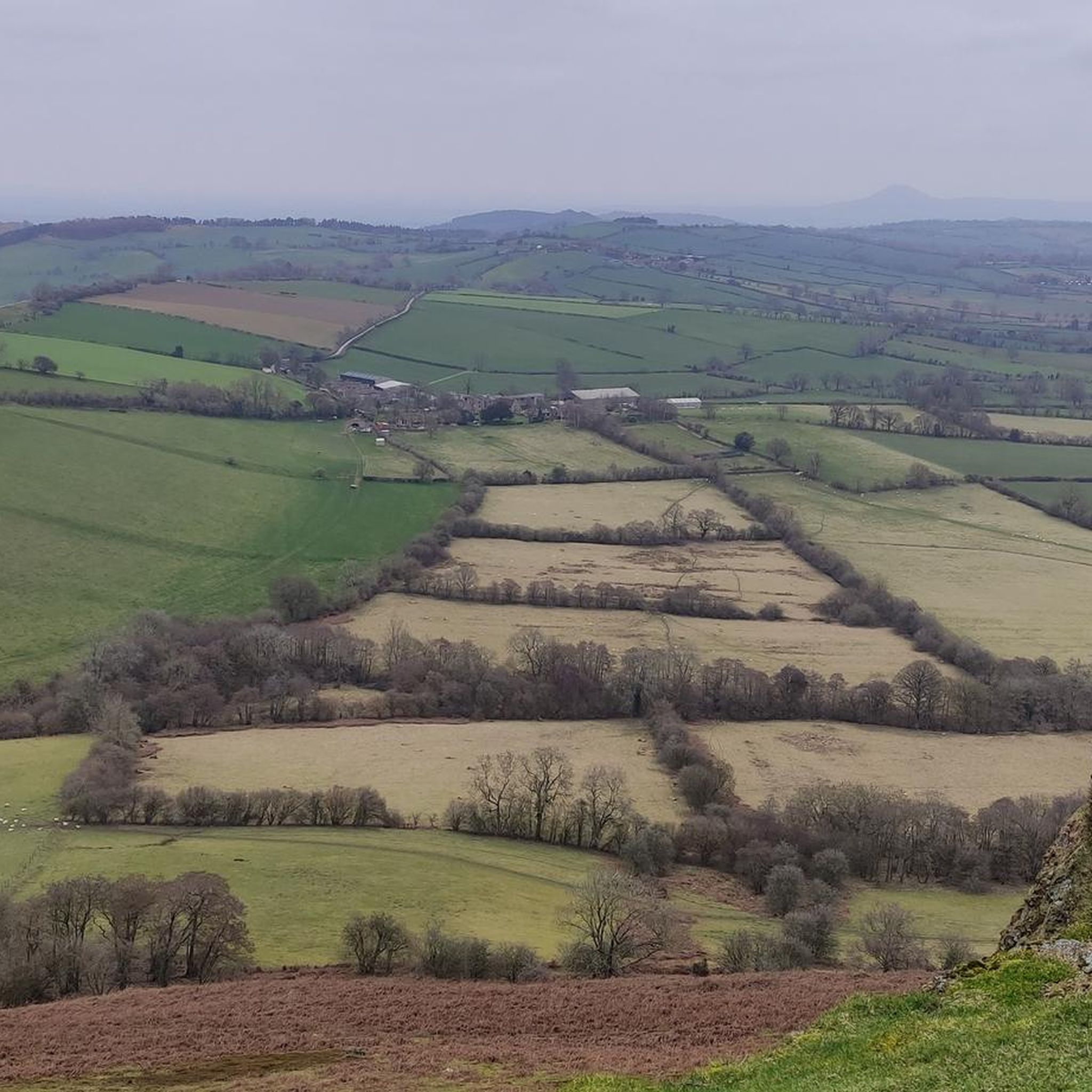
Earl’s Hill 319.5m P146 (1048ft) [List Objective: English Humps] (DoBIH Hill ID: 2849) [JNSA 12703] Shropshire National Landscape Definitive List summit.
0
0


Really good path. There is another one closer to the stream but it isn’t in good shape. Great for running too.
0
0

Said to resemble the shape of a sleeping dragon, the twin peaks of Earl's Hill and Pontesbury Hill have their firey origin in a volcano some 650 million years ago. Glorious views from the summit - an Iron Age hillfort - stretch out to Wales and across the Shropshire Hills.
0
0

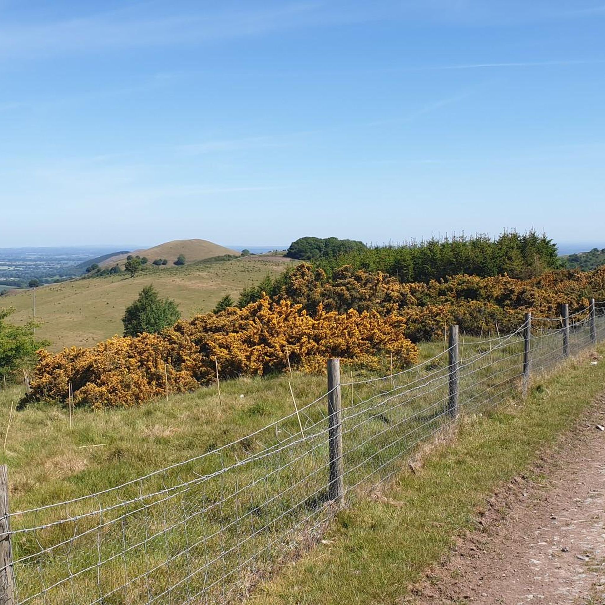
Absolutley wonderful gravel track with amazing views, however the way up from the south, is rocky and you'll likely neeed to walk.
0
0
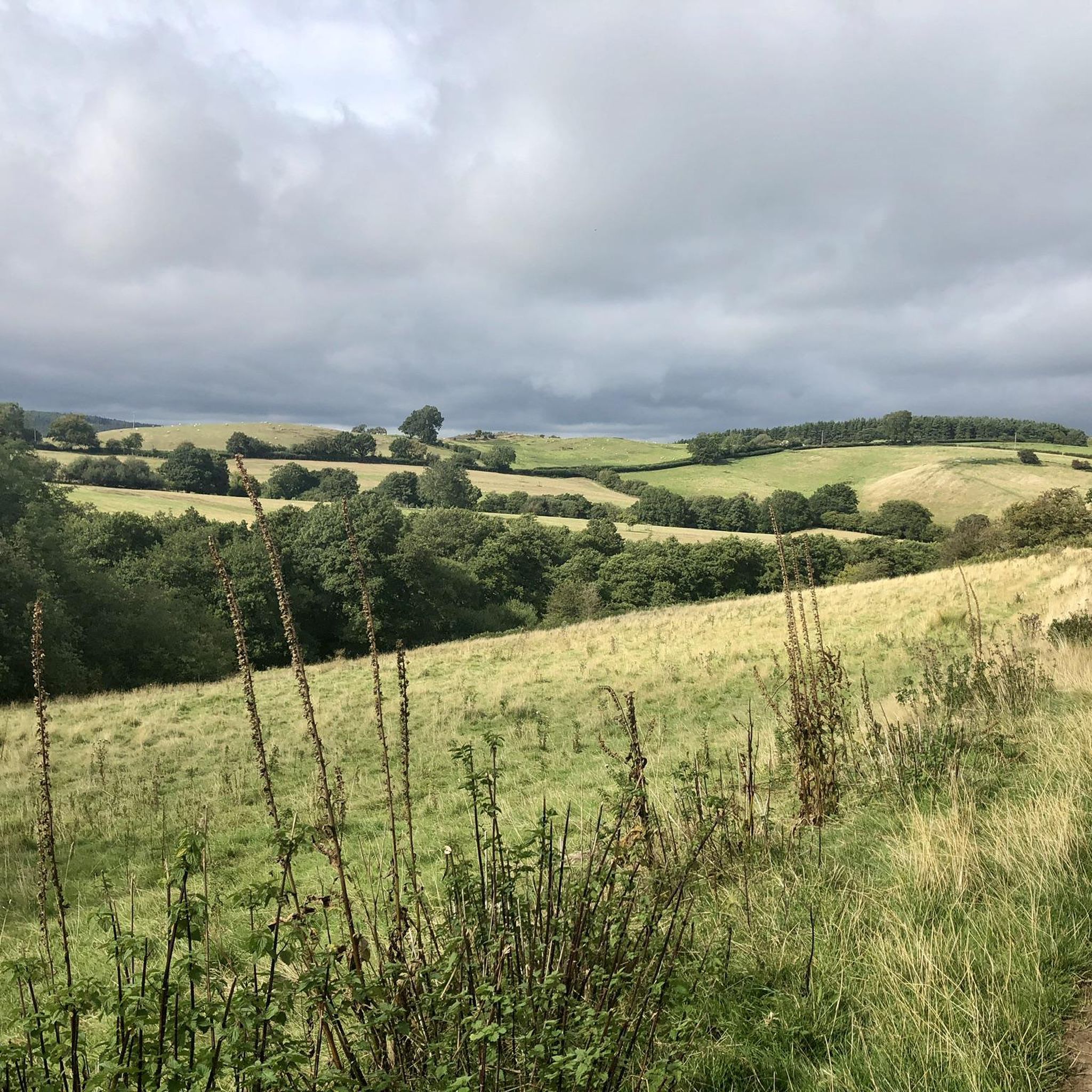
Wonderful place to stop and take in the view of Shropshire out to Wales.
0
0

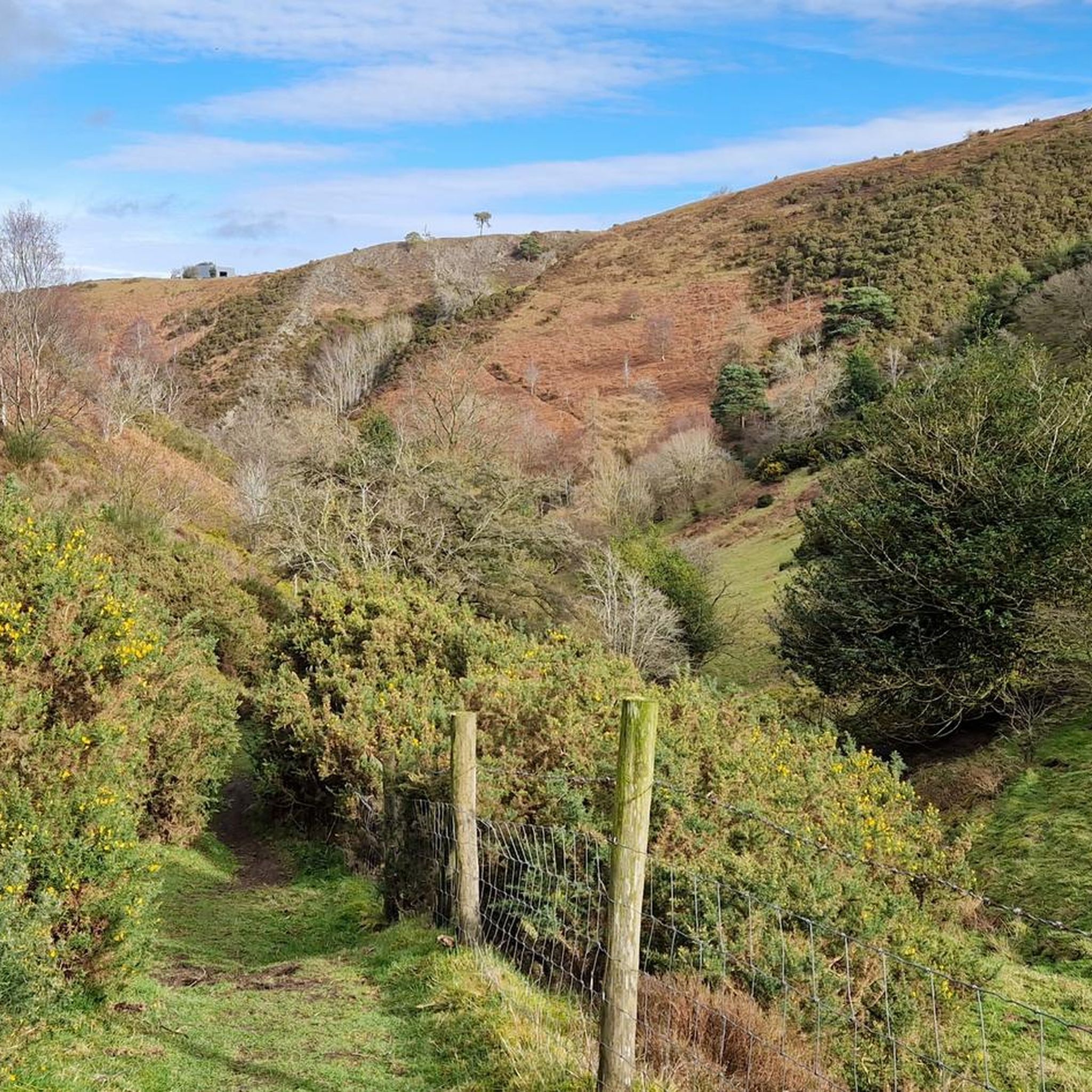
It’s a steep ole climb up to Earl’s Hill, but the views are well worth it
0
0

Lots of options to the top with gravel, grass and roads all possible. Stunning views but can get busy with walkers.
0
0
롱덴 주변에서 가장 인기 있는 명소


더 살펴보기
다른 지역의 최고의 하이킹를 살펴보세요.
