6의 토나그모어가지 명소 & 주요 장소
토나그모어에는 둘러볼 만한 장소가 많답니다. 하이킹 또는 사이클링을 좋아한다면 토나그모어에 숨겨진 6
가지 보석을 만날 수 있을 거예요. 이 지역의 주요 명소를 살펴보면서 다음 모험을 계획해보세요.
마지막 업데이트: 10월 11, 2026

Moyallan 필박스
하이라이트 • 역사적 장소
번역문 보기
팁에 의해

이런 장소를 발견하려면 지금 가입하세요
최고의 싱글 트랙, 봉우리 및 다양한 흥미로운 야외 장소에 대한 추천을 받아보세요.
Lisnamintry Rath 입구
하이라이트 • 자연 기념물
팁에 의해

Lurgan Park Lake
하이라이트 • 전망대
팁에 의해

무료로 가입하여 토나그모어 주변의 더 많은 명소를 발견하세요.
이미 komoot 계정이 있나요?
오늘 무료 계정으로 시작하세요
다음 모험이 기다리고 있어요.

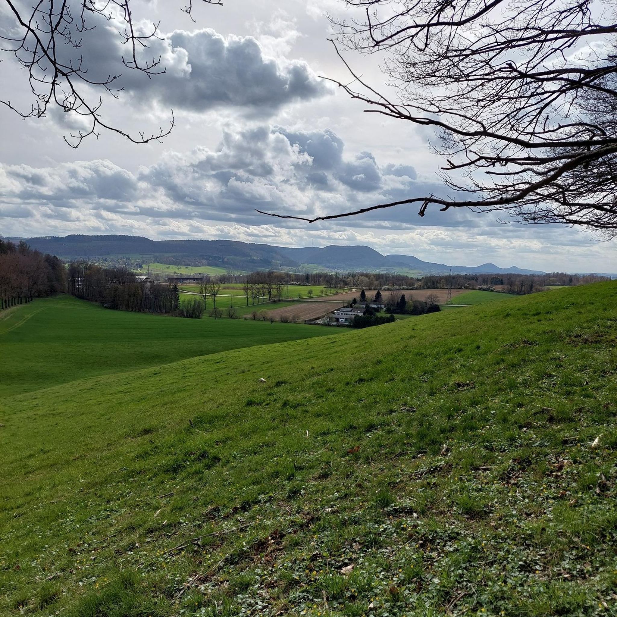

커뮤니티 팁

이 대부분 평탄하고 완전히 차량 통행이 없는 길은 아일랜드 해로 석탄을 운송하는 생명선이었던 고요한 수로를 따라, 아르마 및 다운 카운티의 중심부를 가로질러 구불구불 이어집니다. 잘 관리된 아스팔트 또는 고운 자갈 위를 페달을 밟으며 나아가면, 울창한 녹색 제방, 역사적인 돌다리, 그리고 지형의 높낮이를 극복하는 18개의 수문 유적들이 당신을 둘러쌀 것입니다. 거의 모든 종류의 자전거에 적합한 매끄러운 아스팔트와 주행하기 좋은 고운 자갈의 조합입니다.
7
0
강변의 그림 같은 길을 따라 모얄란 필박스를 찾을 수 있습니다. 1940년경 영국의 해안 및 내륙 방어의 일환으로 건설된 이 컴팩트한 벙커는 관측소이자 기관총 둥지로 사용되었습니다. 강을 건너는 길과 인근 도로를 감시하기 위해 전략적으로 배치된 이 견고한 구조물은 이 평화로운 풍경이 최고 수준의 경계 태세를 갖추고 있던 시대를 상기시킵니다. 지나가는 자전거 타는 사람에게는 흥미로운 휴식 장소입니다. 이끼 낀 녹색 벽은 주변 자연과 거의 완전히 조화를 이루어, 벙커는 마지막 순간에야 그 비밀을 드러냅니다. 현재의 시골의 평온함과 날카로운 대조를 이루는 거친 군사 유산의 한 조각입니다.
6
0
Lisnamintry Rath(Portadown 근처 Ballygargan Road에 위치)의 입구는 Armagh 카운티 이 지역의 몇 안 되는 공식적으로 보호되는 고고학 기념물 중 하나로 가는 관문입니다. Rath는 초기 기독교 시대의 요새화된 농장(약 500-1000 AD)으로, 과거에 약탈자로부터 가족과 가축을 보호했습니다. 도로에서는 보이지 않습니다.
1
0

Hollie Berrie is a good place for refreshments on the route at Scarva
0
1

The small town of Scarva, nestled between green meadows and the quiet canal, offers a welcome break on my bike tour through Northern Ireland. Here you cycle on well-maintained paths past historic bridges and small villages that give you the feeling that time has stood still. The British flags fluttering along the side of the road remind you that you are in a culturally special area - a detail that reflects the identity of the region. The route is easy to cycle, the surrounding landscape is gently rolling, which makes for pleasant cycling. The view of wide fields and rolling hills invites you to slow down now and then and take in the peace and quiet. A special feature of Scarva is the annual Orange Order March, which transforms the village into a kind of open-air stage once a year and keeps the traditions of this region alive.
1
0
The Moyallan Pillbox is an intriguing WWII relic that is an unexpected discovery along the River Bann. The old concrete structure, well camouflaged and reclaimed by nature, stands modestly on a hill overlooking the river. The views from here are particularly rewarding on a clear day when the Bann flows lazily across the landscape. It's hard to imagine that this tranquil scene was once strategically important in protecting access to the north from possible invasions. The Pillbox stands just opposite a petrol station, near the roundabout where several roads meet. The location may seem unspectacular, but with a little imagination you can glimpse the history. The concrete block quietly tells of times gone by as you pedal on, leaving the river behind. A quick stop is well worth it - not for the drama, but for the unassuming way in which history finds its place here.
1
0

From the late Iron Age to early Christian times, the island's occupants built circular structures with earth banks or ditches. These were sometimes topped with wooden palisades and wooden framed buildings. As the dwellings were not durable, sometimes referred to as as Fairy Forts ( also known as Lios or Raths from the Irish, referring to an earthen mound ) are the remains of stone circles, ringforts, hillforts, or other circular prehistoric dwellings in Ireland.
2
0
Scarva (from Irish: Scarbhach meaning "shallow place, rough ford" is a small village in the parish of Aghaderg, County Down, Scarva is known as the location of the "Sham Fight" Pageant on 13 July every year. The Pageant attracts thousands of members of the Royal Black Preceptory, who come to act out a symbolic dramatised re-enactment of the Battle of the Boyne.
2
0
토나그모어 주변에서 가장 인기 있는 경로


더 살펴보기
찾고 있는 하이라이트를 아직 못 찾으셨나요? 다른 지역의 주요 명소 가이드를 확인해보세요:
