비베르게문트 최고의 러닝 경로
4.5
(194)
1,364
달리기 하는 사람
83
러닝
비베르게문트에서 하이킹하며 메인-킨지그-크라이스 구석 부분까지 살펴볼까요? 비베르게문트에 있는 모든 하이킹 및 워킹 경로 컬렉션 중 가장 멋진 하이킹 경로를 엄선하여 소개해드릴게요. 다른 하이커가 공유한 실제 팁과 사진을 살펴보고 후기를 읽으며 마음에 드는 비베르게문트 워킹 경로를 찾아보세요.
마지막 업데이트: 10월 17, 2026
4.4
(11)
132
달리기 하는 사람
10.8km
01:07
20m
20m
보통 조깅. 좋은 체력 필요. 대부분 포장된 지면. 실력과 관계없이 누구나 갈 수 있음.
4.2
(19)
96
달리기 하는 사람
10.8km
01:08
50m
50m
보통 조깅. 좋은 체력 필요. 대부분 포장된 지면. 실력과 관계없이 누구나 갈 수 있음.

3.8
(6)
85
달리기 하는 사람
13.1km
01:24
80m
80m
보통 조깅. 좋은 체력 필요. 대부분 포장된 지면. 실력과 관계없이 누구나 갈 수 있음.
5.0
(9)
365
달리기 하는 사람
27.4km
02:55
350m
350m
어려운 조깅. 우수한 체력 필요. 대부분 포장된 지면. 실력과 관계없이 누구나 갈 수 있음.
4.7
(12)
30
달리기 하는 사람
5.09km
00:32
20m
20m
보통 조깅. 좋은 체력 필요. 대부분 포장된 지면. 실력과 관계없이 누구나 갈 수 있음.
더 다양한 경로와 다른 탐험가들의 추천을 살펴보세요.
이미 komoot 계정이 있나요?
투어 추천은 다른 사람들이 komoot에서 완료한 수천 개의 활동을 바탕으로 구성되어 있습니다.
오늘 무료 계정으로 시작하세요
다음 모험이 기다리고 있어요.
비베르게문트 주변 인기 장소
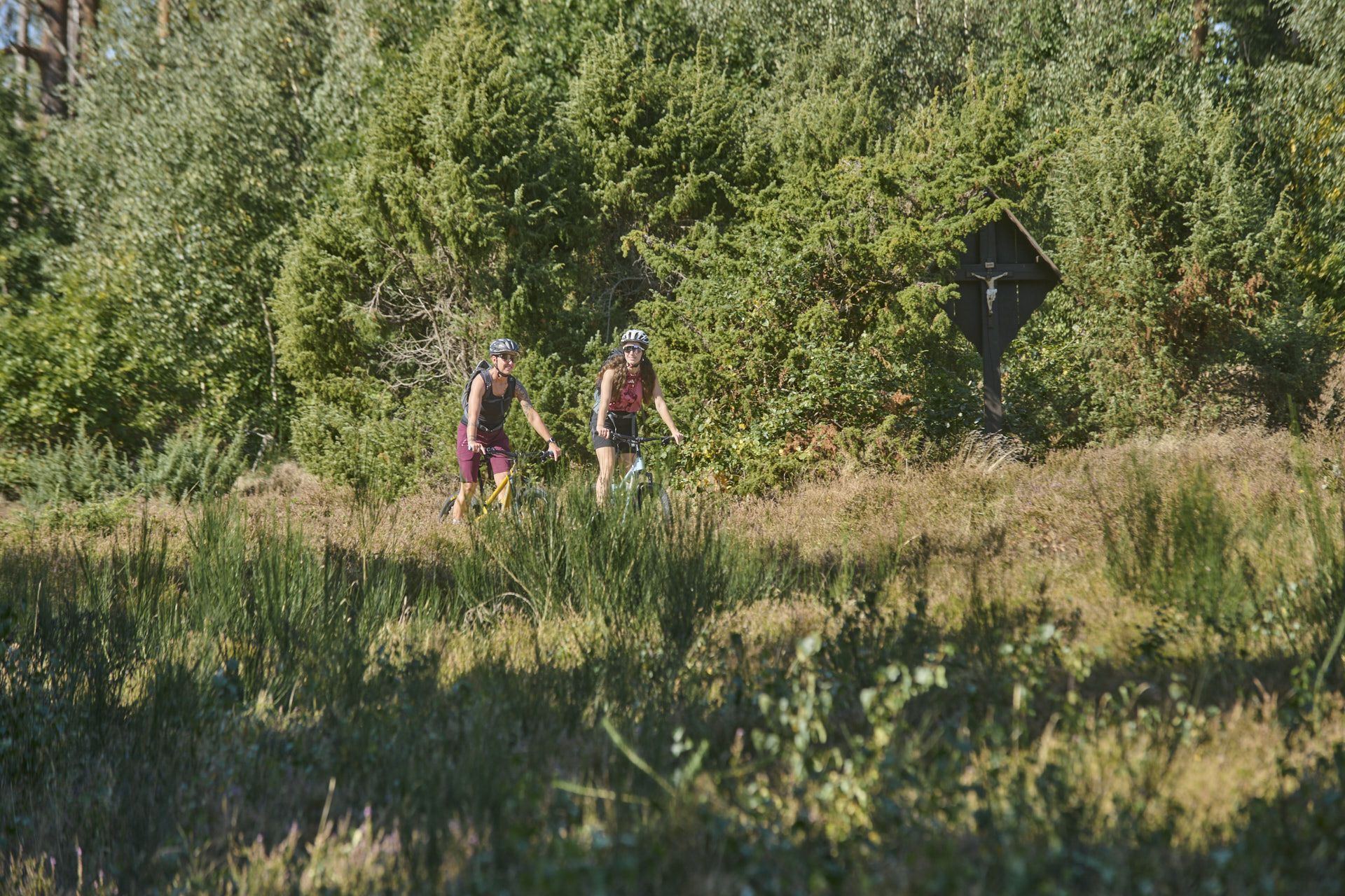
Nature, trails and local cuisine – MTB in the Spessart
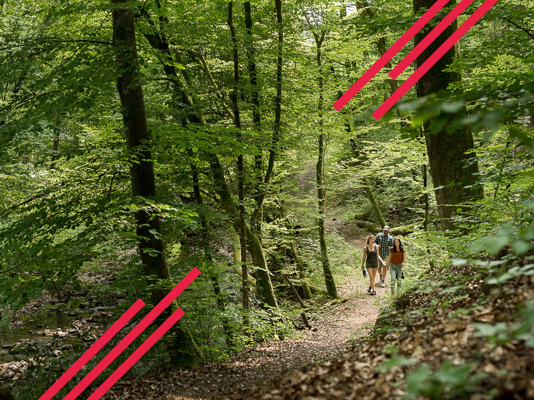
Relaxed hiking in the Spessart – short trails of discovery
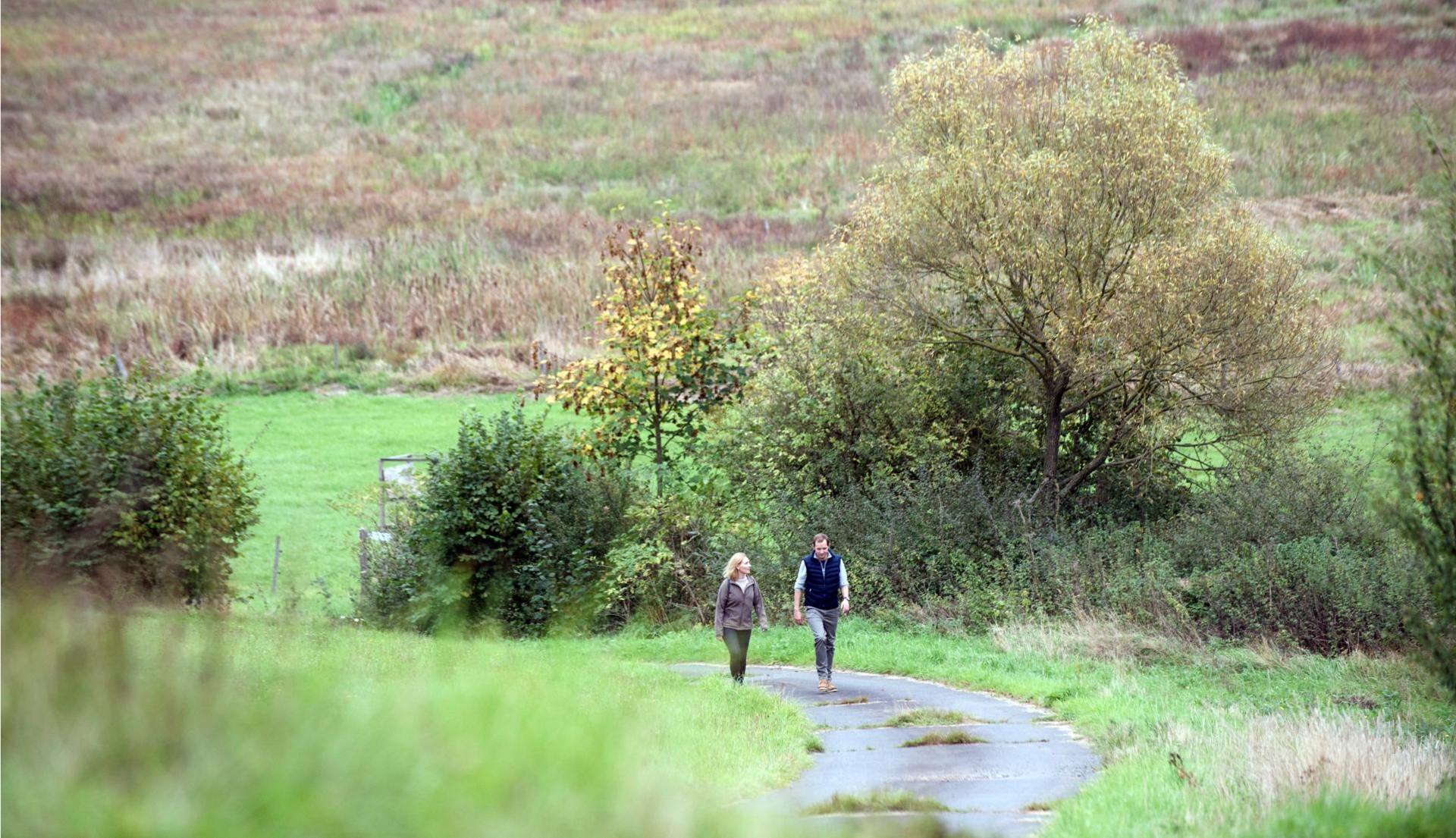
Pleasure hiking in the Spessart: trails that taste as good as they look
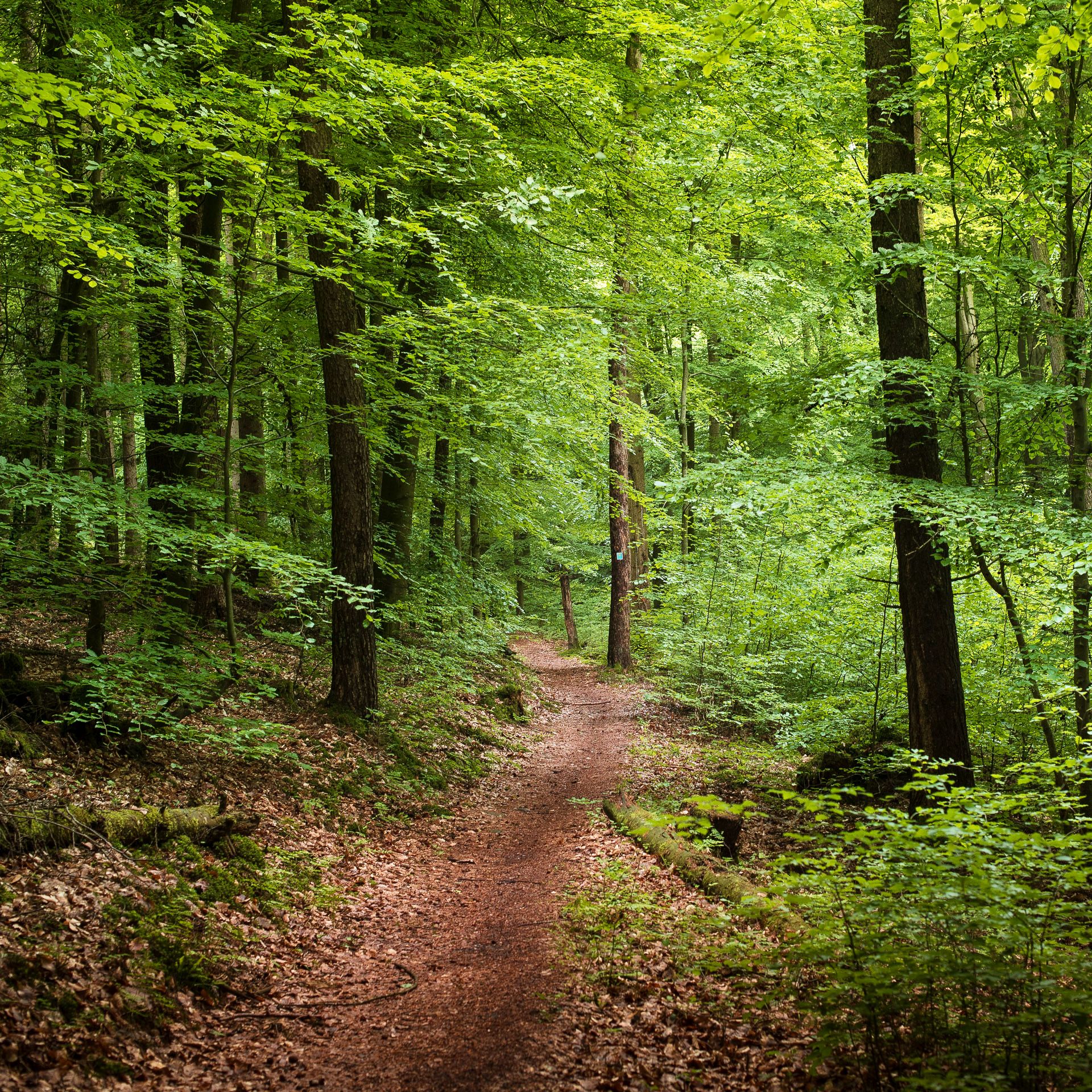
Endless forests, flowing trails – MTB in Germany’s Spessart region
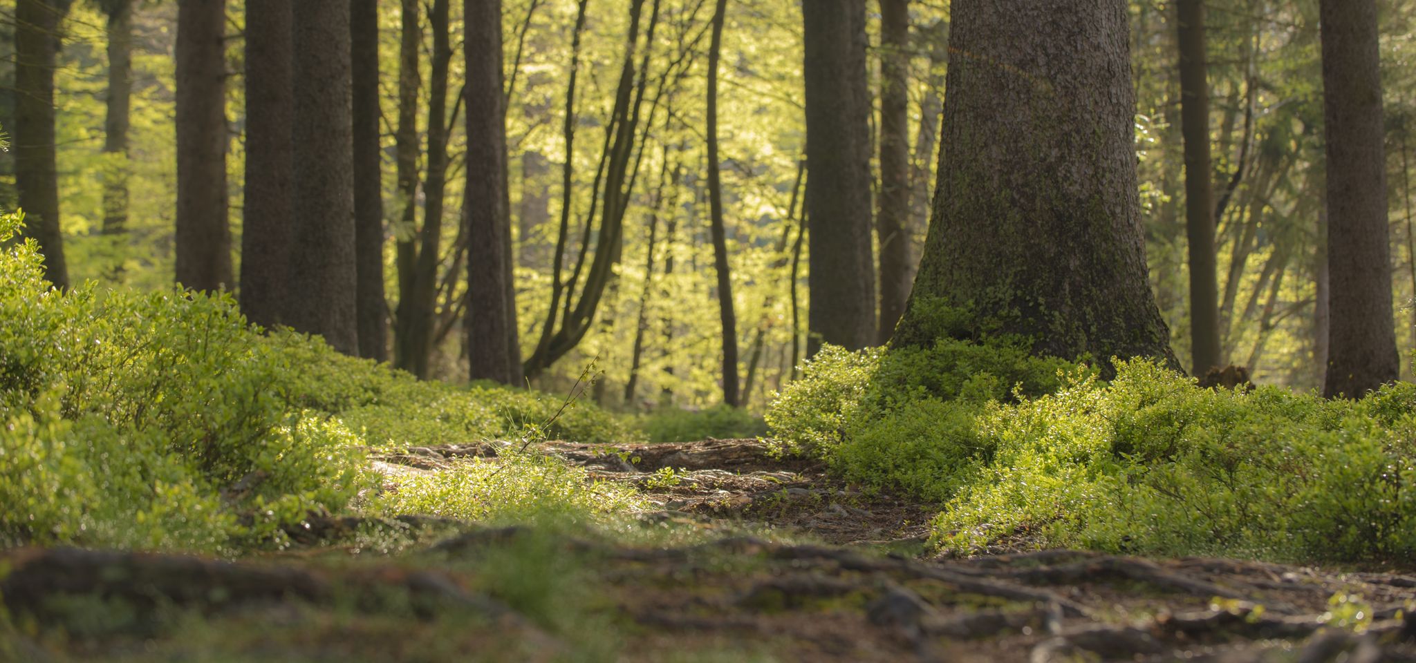
Mountain biking in the Spessart – Awesome trails in Germany
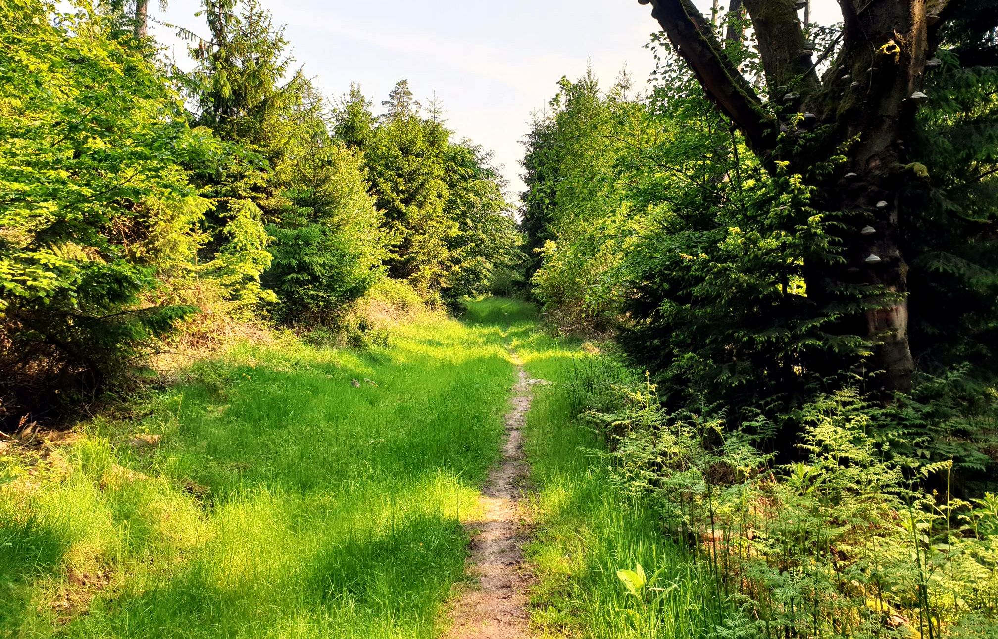
Mountain biking in the Spessart – Awesome trails in Germany
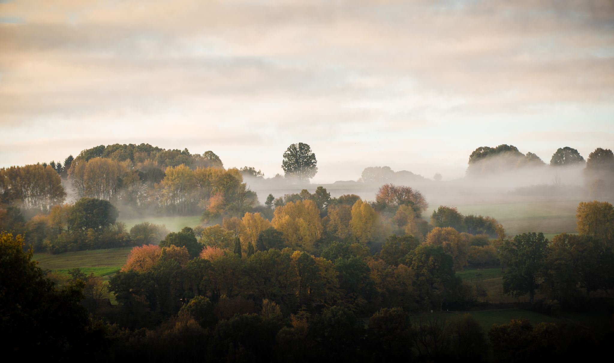
Die schönsten Herbstwanderungen im Spessart
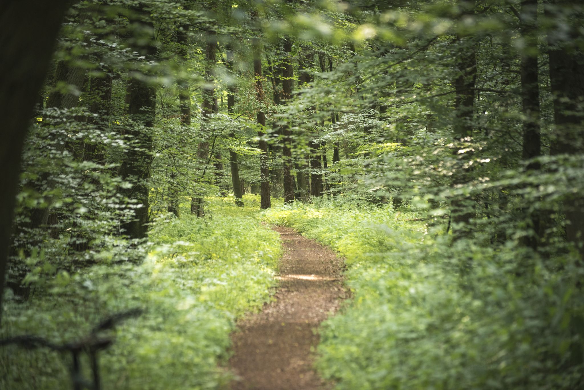
Die schönsten Premium-Spazierwanderwege im Hessischen Spessart
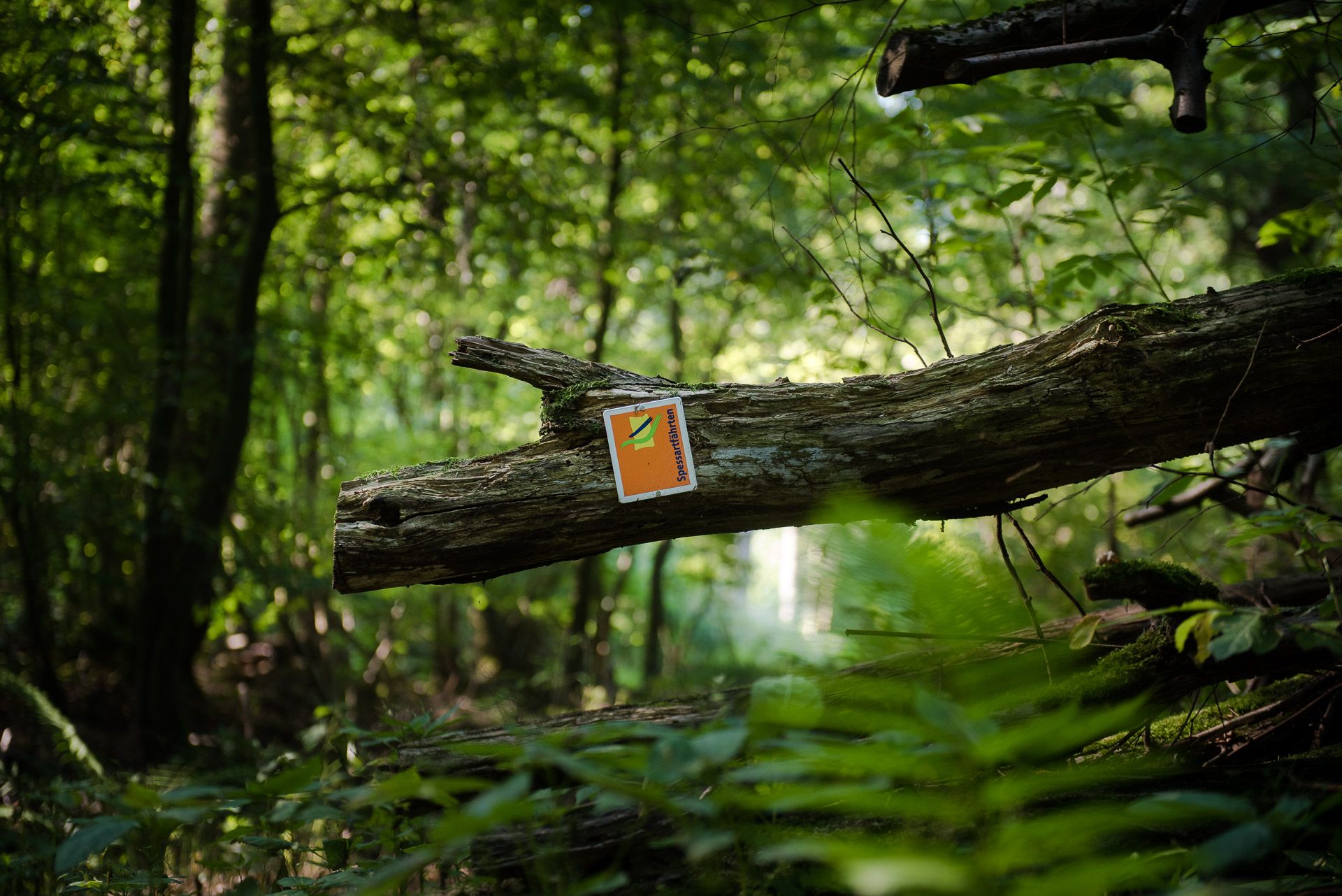
Die Spessartfährten: Sanfte Tageswanderungen durch den hessischen Spessart
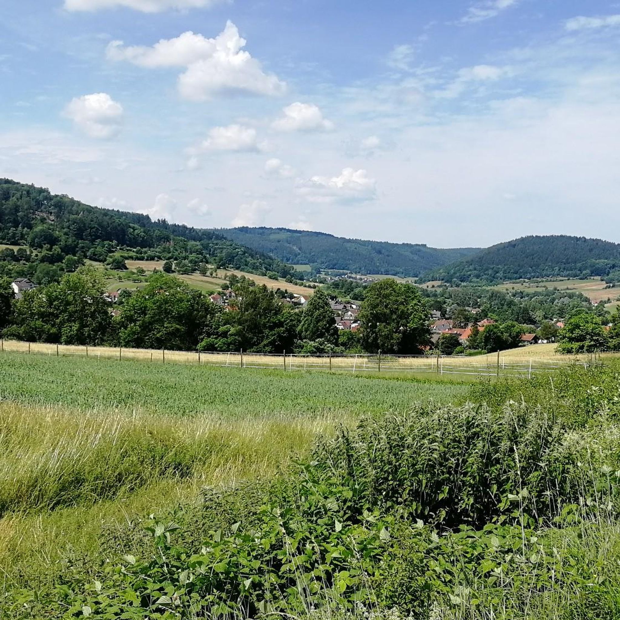
비베르게문트 하이킹
비베르게문트 주변의 다른 모험

커뮤니티 팁

Wächtersbach의 다리에서는 철도 시설이 보이는 것이 주를 이룹니다. Bad-Soden으로 가는 협궤 철도도 잘 보입니다. 또한 도시와 산업 단지에 대한 아름다운 전망을 제공합니다. 이 다리는 다리 건설을 가능하게 한 전임 시장의 이름을 따서 명명되었습니다.
1
0


The Kinzig is a river approximately 86 kilometers long. It rises in Sterbfritz, flows southwest through the Main-Kinzig district of Hesse, and flows into the Main from the right in Hanau. The Kinzig is a second-order river in low mountain ranges. It overcomes an elevation of 301 meters and has a bed gradient of 3.5 per thousand. The Kinzig's catchment area covers 1,058 square kilometers, and the calculated mean discharge (MQ) at the mouth of the Kinzig is 10.97 cubic meters per second. The Kinzig was first documented in 796 as "iuxta fluvium Kincihen." In 815, the name was written as "Chinzicha," around 900 as "Kincicha"/"Kinzicham," in 1364 as "Kinzige," in 1584 as "Kintzig," in 1607 as "Bintz," in 1681 as "Kintz," in 1716 as "Kins," in 1769 as "Kinzing," and in 1802 as "Kinzig." In the river's headwaters, there was the now-defunct village of Kinzig, mentioned in 815 as "Chirizichheimero." The village and river were often confused by monastery scribes at that time with "Chizzicha" (now Bad Kissingen), both of which were described as being located in the Saalegau. The name presumably derives from the ancient Celtic *ku̯anti̯o- meaning "flat hill, valley." The name was therefore derived from the mountainous region from which the Kinzig flows. Source: Wikipedia
1
0
The Kinzig is a river approximately 86 kilometers long. It rises in Sterbfritz, flows southwest through the Main-Kinzig district of Hesse, and flows into the Main from the right in Hanau. The Kinzig is a second-order river in low mountain ranges. It overcomes an elevation of 301 meters and has a bed gradient of 3.5 per thousand. The Kinzig's catchment area covers 1,058 square kilometers, and the calculated mean discharge (MQ) at the mouth of the Kinzig is 10.97 cubic meters per second. The Kinzig was first documented in 796 as "iuxta fluvium Kincihen." In 815, the name was written as "Chinzicha," around 900 as "Kincicha"/"Kinzicham," in 1364 as "Kinzige," in 1584 as "Kintzig," in 1607 as "Bintz," in 1681 as "Kintz," in 1716 as "Kins," in 1769 as "Kinzing," and in 1802 as "Kinzig." In the river's headwaters, there was the now-defunct village of Kinzig, mentioned in 815 as "Chirizichheimero." The village and river were often confused by monastery scribes at that time with "Chizzicha" (now Bad Kissingen), both of which were described as being located in the Saalegau. The name presumably derives from the ancient Celtic *ku̯anti̯o- meaning "flat hill, valley." The name was therefore derived from the mountainous region from which the Kinzig flows. Source: Wikipedia
2
0
The Kinzig is a river approximately 86 kilometers long. It rises in Sterbfritz, flows southwest through the Main-Kinzig district of Hesse, and flows into the Main from the right in Hanau. The Kinzig is a second-order river in low mountain ranges. It overcomes an elevation of 301 meters and has a bed gradient of 3.5 per thousand. The Kinzig's catchment area covers 1,058 square kilometers, and the calculated mean discharge (MQ) at the mouth of the Kinzig is 10.97 cubic meters per second. The Kinzig was first documented in 796 as "iuxta fluvium Kincihen." In 815, the name was written as "Chinzicha," around 900 as "Kincicha"/"Kinzicham," in 1364 as "Kinzige," in 1584 as "Kintzig," in 1607 as "Bintz," in 1681 as "Kintz," in 1716 as "Kins," in 1769 as "Kinzing," and in 1802 as "Kinzig." In the river's headwaters, there was the now-defunct village of Kinzig, mentioned in 815 as "Chirizichheimero." The village and river were often confused by monastery scribes at that time with "Chizzicha" (now Bad Kissingen), both of which were described as being located in the Saalegau. The name presumably derives from the ancient Celtic *ku̯anti̯o- meaning "flat hill, valley." The name was therefore derived from the mountainous region from which the Kinzig flows. Source: Wikipedia
2
0

From the bridge you have a good “panoramic view”.
2
0

The Kinzig is a small river that flows leisurely under normal conditions. During a long period of rain, the Kinzig can overflow its banks in some places.
3
0
비베르게문트 주변에서 가장 인기 있는 명소


더 살펴보기
다른 지역의 최고의 러닝 트레일 & 경로를 살펴보세요.
