20의 발리롤리가지 명소 & 주요 장소
발리롤리에는 둘러볼 만한 장소가 많답니다. 하이킹 또는 사이클링을 좋아한다면 발리롤리에 숨겨진 20
가지 보석을 만날 수 있을 거예요. 이 지역의 주요 명소를 살펴보면서 다음 모험을 계획해보세요.
마지막 업데이트: 10월 10, 2026
머러프 자연 보호구 보드워크
하이라이트 • 전망대
팁에 의해

트웰브 아치스 다리 전망
하이라이트 • 강
팁에 의해
이런 장소를 발견하려면 지금 가입하세요
최고의 싱글 트랙, 봉우리 및 다양한 흥미로운 야외 장소에 대한 추천을 받아보세요.
Maghera 원형탑
하이라이트 • 기념물
팁에 의해

Dundrum Castle
하이라이트 • 역사적 장소
팁에 의해
오늘 무료 계정으로 시작하세요
다음 모험이 기다리고 있어요.
발리롤리 주변 인기 장소

커뮤니티 팁

This historic 12th century building is a typical example of an Anglo-Norman motte with a kidney-shaped bailey. The 7.6m high mound, which once housed a wooden tower, was later replaced by a stone tower house, the ruins of which can still be seen today. Access is via Clough's main road; there is a small car park, but it is not always well signposted. Access is usually permitted. The surrounding countryside, with views of the Mourne Mountains, offers a tranquil atmosphere that invites you to linger.
1
0
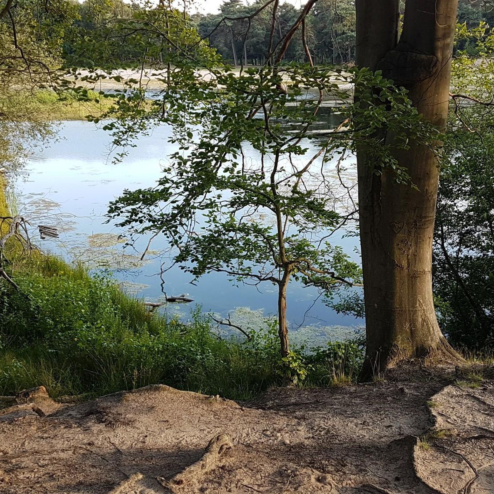
The ancient stone arches are perfectly reflected in the calm water, creating an image of timeless elegance. Cycling along here almost feels like a journey back in time - as if you are capturing a moment in another time.
1
0
This historic 10th century tower stands in idyllic countryside and offers a fascinating insight into Ireland's early Christian history. Access is via narrow country lanes; there is a small car park but it is not always well signposted. The tower is on private farmland but access is usually permitted.
1
0

The ruined round tower marks the site of an early church founded by the 6th-century St Domongart (Donard), after whom the highest peak in the Mourne Mountains is named. The tower stood to its full height until the early 18th century, when it fell in a great storm, It is built of local granite boulders and shale. Small scale excavation in 1965 showed evidence of Early Christian activity near the tower. In the oval graveyard east of the parish church is the ruin of the medieval parish church, probably 13th century in date.
1
0
Wonderful ornate, twelve arched bridge that seems out of place in this rural setting. The surrounding fields often flood during periods of heavy rain, necessitating a longer bridge than normally appears necessary. Hence the 'Twelve Arches'. The bridge was built sometime after 1836.
1
0
The motte and bailey dates to c.1200 and is an excellent example of an Anglo-Norman earthwork castle. The taller mound, the motte, was built of earth to provide a look-out position and the central defence. Excavations at the top of the motte during the 1950s uncovered a wooden palisade which originally extended around the summit. When you climb the motte you realise what an important position the castle is in, over looking the routes east to Downpatrick, south to Dundrum and north to Belfast Lough. The views from the top of the motte west to Slieve Croob are particularly fine.
1
0

The beautiful Dundrum Castle is located on a hilltop near Dundrum village. Its elevated position provides fantastic panoramic views across Dundrum, the Carrigs Estuary, the Mourne Mountain range and out to the Irish Sea. The castle itself was constructed by John de Courcy at the beginning of the 13th century. It's a fine example of a historic medieval castle of its time.
2
0
Twelve Arches is a stunning old stone bridge that carries the old Newcastle – Dundrum/Belfast road across the Carrigs River. There are a few picnic benches here and wonderful views up and down the river.
1
0


