브렌든과 카운티스베리 최고의 워킹 & 하이킹 경로
4.7
(1845)
11,245
등산객
80
하이킹
Komoot에 등록된 브렌든과 카운티스베리 내 트레일 및 경로 컬렉션 중에서 하이킹과 워킹을 가장 멋지게 즐길 수 있는 곳을 알려드릴게요. 아래에서 각 경로의 상세 정보를 모두 확인한 후, 브렌든과 카운티스베리 속 자연에서 즐거운 시간을 누려보세요.
마지막 업데이트: 10월 10, 2026
4.9
(24)
115
등산객
16.8km
04:56
460m
460m
Embark on the Countisbury and Brendon loop, a moderate hiking adventure spanning 10.4 miles (16.8 km) with an elevation gain of 1525 feet (465 metres). This route offers a dynamic…
4.6
(19)
67
등산객
15.5km
04:16
250m
250m
The Doone Valley loop from Malmsmead offers a moderate hiking experience through the heart of Exmoor National Park. This 9.7-mile (15.5 km) loop involves 821 feet (250 metres) of elevation…

3.7
(6)
12
등산객
10.8km
03:07
280m
280m
Hike the moderate 6.7-mile Malmsmead and East Lyn River loop in Exmoor National Park, featuring river valleys, moorland, and literary histor
5.0
(1)
6
등산객
12.4km
03:40
350m
350m
Hike the moderate 7.7-mile South West Coast Path and Coleridge Way Loop in Exmoor National Park, featuring diverse landscapes and coastal vi
4.9
(38)
188
등산객
14.4km
04:17
420m
420m
보통 하이킹. 좋은 체력 필요. 실력과 관계없이 누구나 쉽게 갈 수 있는 길.
더 다양한 경로와 다른 탐험가들의 추천을 살펴보세요.
이미 komoot 계정이 있나요?
투어 추천은 다른 사람들이 komoot에서 완료한 수천 개의 활동을 바탕으로 구성되어 있습니다.
오늘 무료 계정으로 시작하세요
다음 모험이 기다리고 있어요.


커뮤니티 팁

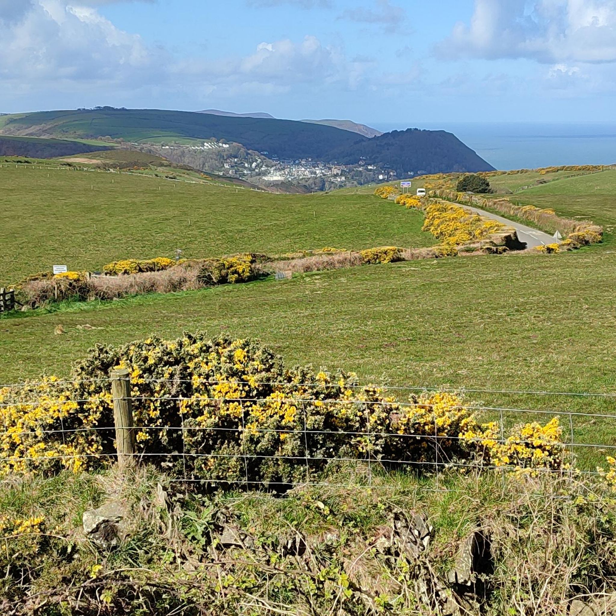
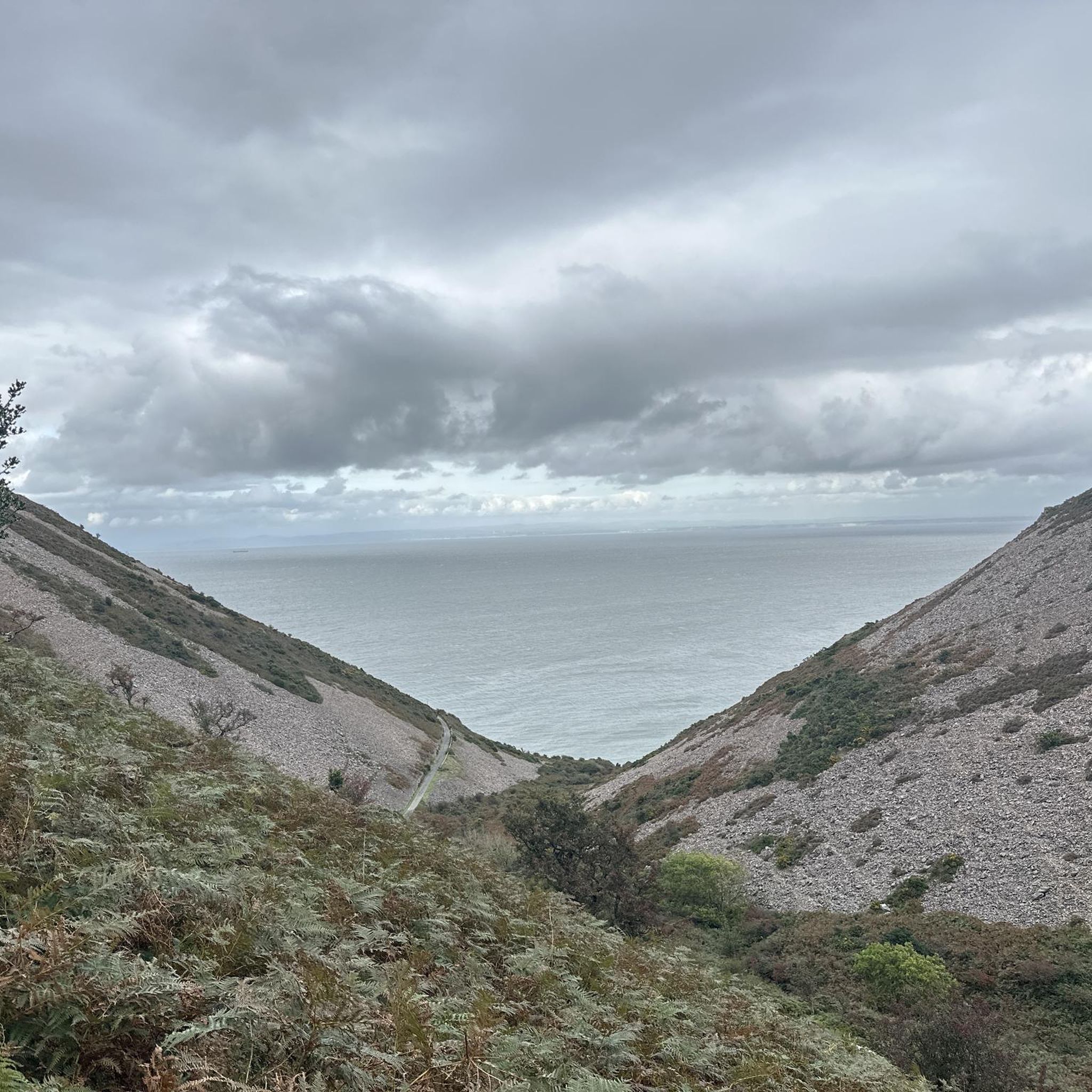
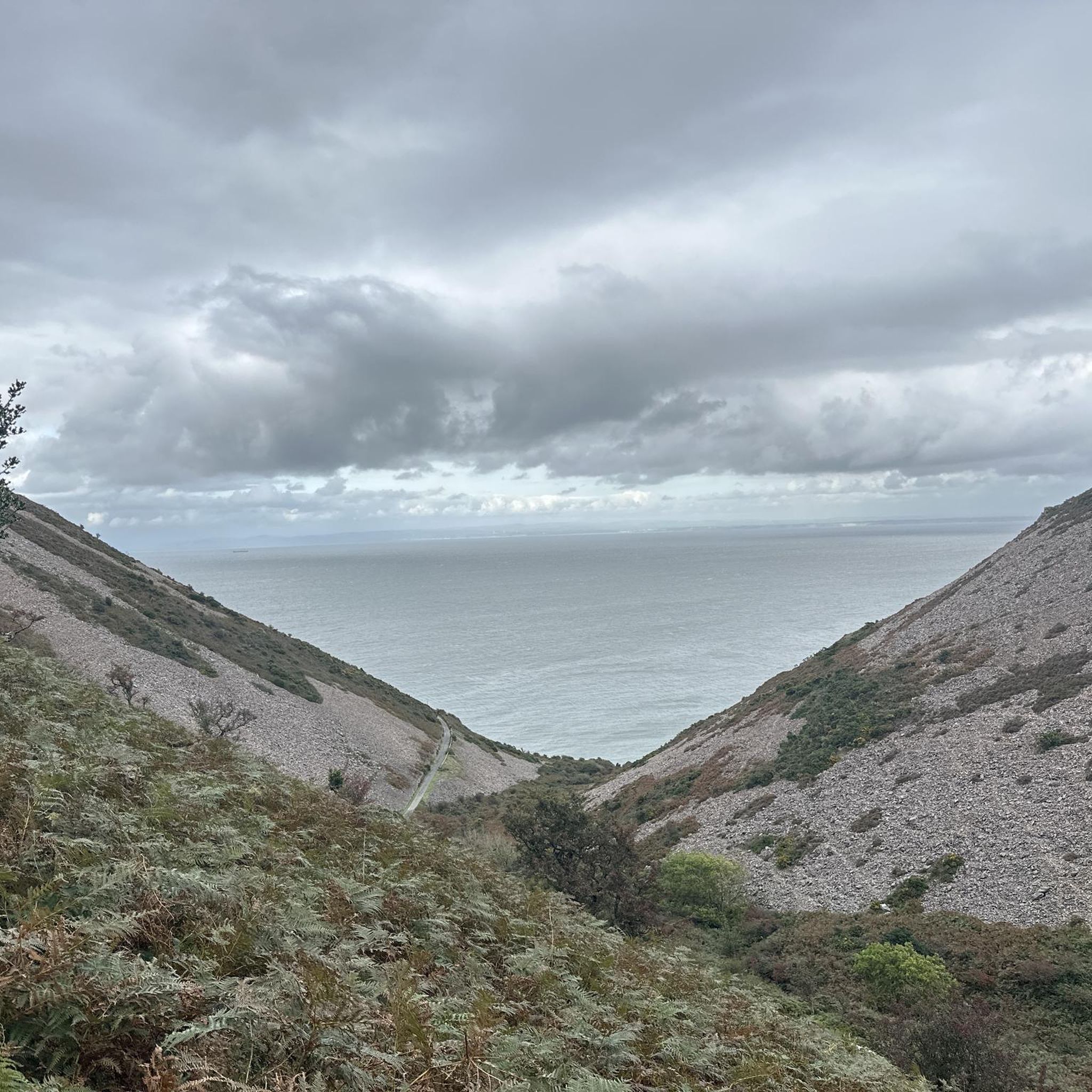
County Gate is located on the A39 atop a high ridge overlooking Bristol Bay to the north and the East Lyn Valley to the south. Its name derives from its position on the boundary between the counties of Somerset and Devon. When Martha and I first visited County Gate in 2001, there was a small tourist office staffed by a person brimming with information about the region. He gave us directions for walking to a nearby first-century AD Roman fortlet, which overlooks Bristol Bay and, beyond it, Wales on the far shore. On our most recent visit, in 2011, the tourist office was no longer open, but there were helpful information signs. From the small parking lot, a trail leads north, descending the hillside to the South West Coast Path, and another trail heads downhill to the south to meet the Coleridge Way.
1
0


It saves walking up a steep hill but more than that, it's a great experience. Clever engineering that has stood the test of time.
0
0

Lovely collection of small waterfalls. Just watch the trail as it's quite steep and slippy in places.
0
0

Great feat of engineering , travel up for a great view of Lynmouth and surrounding area😄
0
0

The café at the top of the mountain station offers freshly baked and delicious pasties.
1
0
브렌든과 카운티스베리 주변에서 가장 인기 있는 명소


더 살펴보기
다른 지역의 최고의 하이킹를 살펴보세요.
