키퍼스펠덴 최고의 등산 경로
4.5
(39)
471
등산객
24
하이킹
키퍼스펠덴에서 하이킹하며 로젠하임 구석 부분까지 살펴볼까요? 키퍼스펠덴에 있는 모든 하이킹 및 워킹 경로 컬렉션 중 가장 멋진 하이킹 경로를 엄선하여 소개해드릴게요. 다른 하이커가 공유한 실제 팁과 사진을 살펴보고 후기를 읽으며 마음에 드는 키퍼스펠덴 워킹 경로를 찾아보세요.
마지막 업데이트: 10월 11, 2026
4.6
(10)
151
등산객
12.5km
05:08
920m
920m
어려운 등산 코스. 우수한 체력 필요. 튼튼한 신발을 신고 미끄러지지 않게 조심해야 하며, 높은 산을 오른 경험이 있어야 함.
4.5
(8)
61
등산객
11.0km
05:05
790m
790m
어려운 등산 코스. 우수한 체력 필요. 튼튼한 신발을 신고 미끄러지지 않게 조심해야 하며, 높은 산을 오른 경험이 있어야 함.

5.0
(3)
40
등산객
5.25km
01:39
190m
190m
초급용 등산 경로. 모든 체력 수준에 적합. 실력과 관계없이 누구나 쉽게 갈 수 있는 길.
22
등산객
3.72km
01:08
120m
120m
초급용 등산 경로. 모든 체력 수준에 적합. 실력과 관계없이 누구나 쉽게 갈 수 있는 길.
5.0
(2)
16
등산객
21.4km
07:55
1,120m
1,120m
어려운 등산 코스. 우수한 체력 필요. 튼튼한 신발을 신고 미끄러지지 않게 조심해야 하며, 높은 산을 오른 경험이 있어야 함.
더 다양한 경로와 다른 탐험가들의 추천을 살펴보세요.
이미 komoot 계정이 있나요?
투어 추천은 다른 사람들이 komoot에서 완료한 수천 개의 활동을 바탕으로 구성되어 있습니다.
오늘 무료 계정으로 시작하세요
다음 모험이 기다리고 있어요.

키퍼스펠덴 주변의 다른 모험

커뮤니티 팁

A very well-secured via ferrata that takes you from the Brünnsteinhaus up to the summit in half an hour.
0
0
The Brünnstein is a beautiful panoramic peak in the Bavarian Prealps. Located above the Brünnstein Hut, an easy and very well-secured via ferrata leads to the summit. It can even be traversed, making it a worthwhile circular hike.
0
0

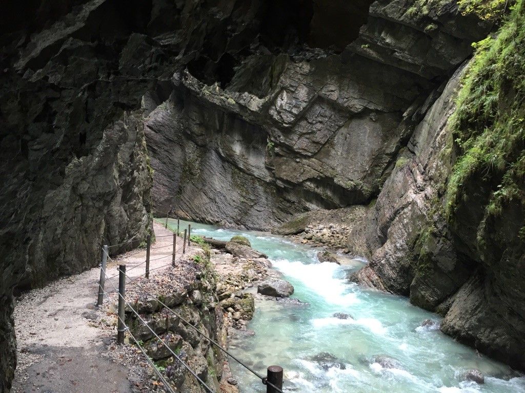
At the end of the gorge is the Gießenbach hydroelectric power plant, which has been in operation since the early 20th century. It harnesses the power of the Gießenbach River to generate environmentally friendly electricity. The plant is an example of how natural energy sources can be used sustainably without compromising the beauty of the landscape. Thus, the Gießenbach Gorge impressively combines nature and technological history.
1
0
The covered wooden bridge over the Gießenbach stream near the Schopperalm is a charming and characteristic feature on the hiking route through the Gießenbach Gorge – especially on the way back to the farms around the Trojerhof.
1
0
Those crossing this bridge experience a transition between two sections of the hike: from the alpine pasture and the open terrain back into the forest and up to the meadows and pastures surrounding the Trojerhof. The bridge marks not only a geographical location, but also a change of atmosphere – the sound of the stream beneath the planks, the wooden roofs overhead, the feeling of protection from rain or strong sun.
1
0
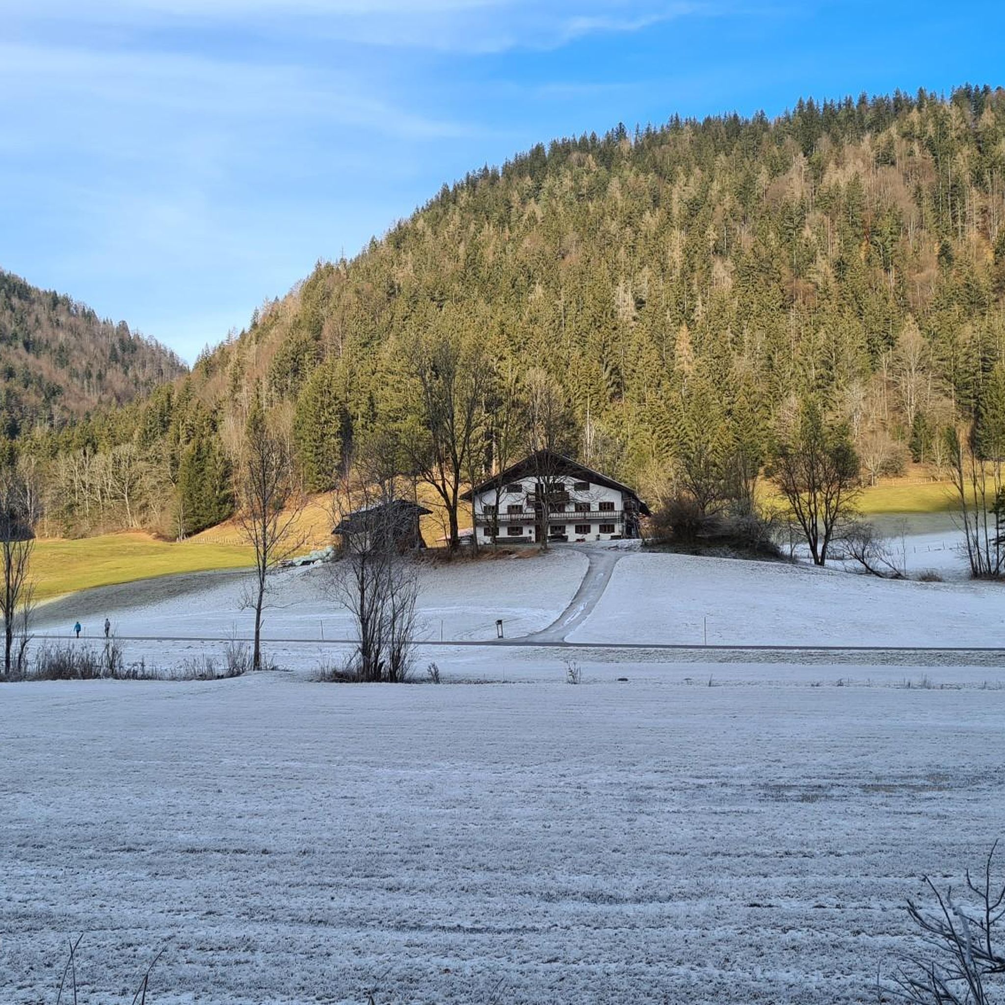
The Trojerhof, one of Bavaria's oldest mountain farms, is a place steeped in history, idyllic charm, and authenticity. About 5 kilometers outside Kiefersfelden, on a high plateau at an altitude of 656 meters near the German-Austrian border, it sits in a secluded location above the Inn Valley, nestled amidst meadows and forests, with sweeping views of the Wilder Kaiser. The history of the Trojerhof stretches back a long way. The field name "Troi" is of Celtic origin and means "cattle path"—there is evidence of settlements here as early as 500 BC. As early as 1140, the farm was mentioned in a ducal register of taxes as "ab dem Trayen," with tributes such as a measure of oats. Over the centuries, the main building has been altered several times: The current main building dates back to 1689, after the old farm burned down. In the meantime, an outbuilding (the so-called "Zuhaus") was built in 1742. The Marienkapelle (St. Mary's Chapel), a striking building on the farm, dates back to 1649 and has survived the ages. Today, the Trojerhof farm is a living monument to rural tradition. It is an organic mountain farm with an alpine atmosphere, with livestock (cows, sheep, etc.), forestry, and the preservation of the old farm structures. The location and access are also distinctive: an approximately 800-meter-long mountain road with gradients of up to 25% leads up. In winter, the path is difficult, and snow chains or four-wheel drive vehicles are often necessary.
2
0
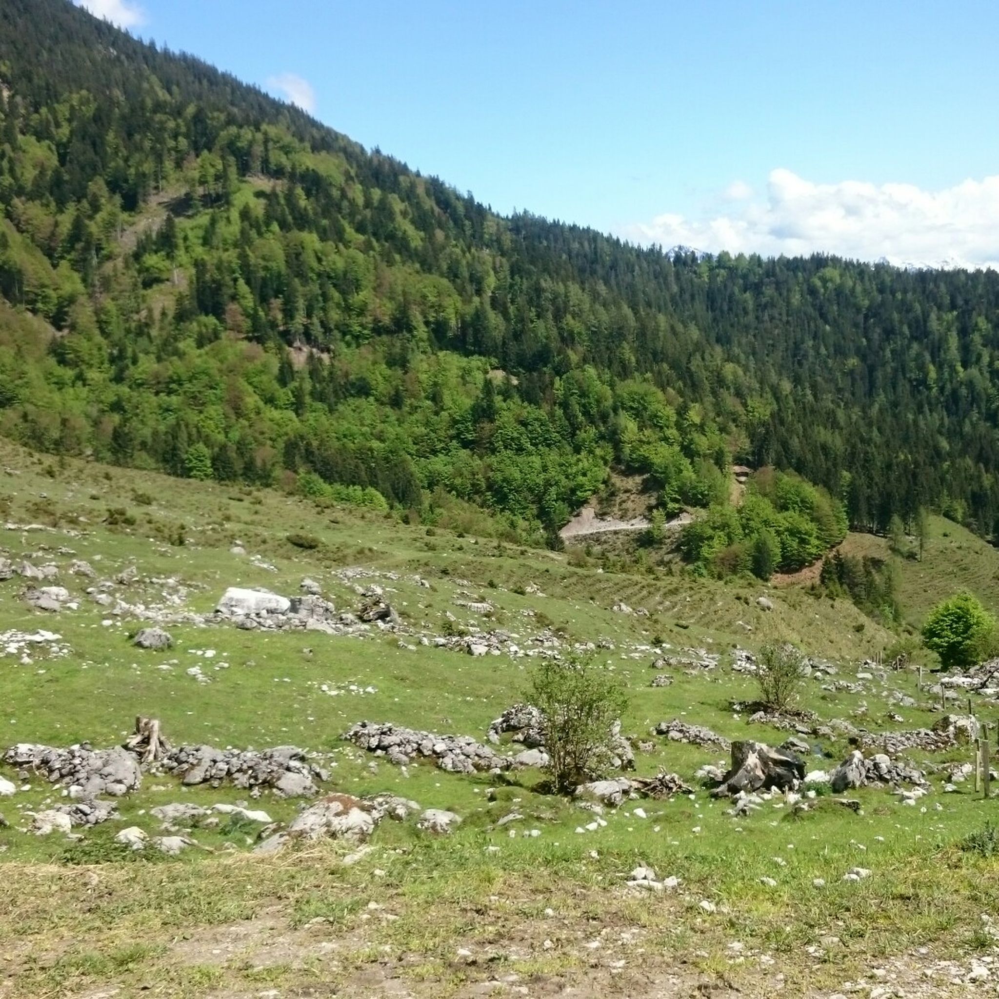
Below Brünnstein lies the Himmelmoosalm, a quiet, beautiful spot with sweeping views over the Inn Valley. For many years, it was run with heart and dedication by dairymaid Anni. Her friendly nature and her love for the animals and the alpine pasture have shaped this place.
1
0
The Brünnstein is a striking mountain in the Bavarian Prealps, located west of Oberaudorf in the Rosenheim district. At 1,634 meters, it may not be a giant, but it offers impressive views and a true mountain experience – ideal for hikers, climbers, and nature lovers. The Brünnstein is part of the Mangfall Mountains and rises just north of the Austrian border. From its summit, a magnificent view opens up over the Inn Valley, the Zillertal and Kitzbühel Alps, and as far as the Kaiser Mountains. The contrast between the gently forested slopes in the north and the rocky, rugged summits is particularly charming.
1
0


더 살펴보기
다른 지역의 최고의 산악 하이킹 & 경로를 살펴보세요.
