군제리드 최고의 러닝 경로
4.5
(10)
322
달리기 하는 사람
19
러닝
군제리드에서 하이킹하며 오버랄가우 구석 부분까지 살펴볼까요? 군제리드에 있는 모든 하이킹 및 워킹 경로 컬렉션 중 가장 멋진 하이킹 경로를 엄선하여 소개해드릴게요. 다른 하이커가 공유한 실제 팁과 사진을 살펴보고 후기를 읽으며 마음에 드는 군제리드 워킹 경로를 찾아보세요.
마지막 업데이트: 8월 18, 2026
48
달리기 하는 사람
12.0km
01:57
760m
760m
어려운 조깅. 우수한 체력 필요. 튼튼한 신발을 신고 미끄러지지 않게 조심해야 하며, 높은 산을 오른 경험이 있어야 함.
41
달리기 하는 사람
5.76km
00:45
210m
210m
어려운 조깅. 좋은 체력 필요. 튼튼한 신발을 신고 미끄러지지 않게 조심해야 하며, 높은 산을 오른 경험이 있어야 함.

무료 회원 가입
4.0
(1)
46
달리기 하는 사람
20.6km
02:44
810m
810m
어려운 조깅. 우수한 체력 필요. 튼튼한 신발을 신고 미끄러지지 않게 조심해야 하며, 높은 산을 오른 경험이 있어야 함.
31
달리기 하는 사람
8.89km
01:22
560m
560m
어려운 조깅. 우수한 체력 필요. 튼튼한 신발을 신고 미끄러지지 않게 조심해야 하며, 높은 산을 오른 경험이 있어야 함.
27
달리기 하는 사람
7.63km
01:01
270m
270m
어려운 조깅. 좋은 체력 필요. 튼튼한 신발을 신고 미끄러지지 않게 조심해야 하며, 높은 산을 오른 경험이 있어야 함.
더 다양한 경로와 다른 탐험가들의 추천을 살펴보세요.
무료 회원 가입
이미 komoot 계정이 있나요?
투어 추천은 다른 사람들이 komoot에서 완료한 수천 개의 활동을 바탕으로 구성되어 있습니다.
오늘 무료 계정으로 시작하세요
다음 모험이 기다리고 있어요.
로그인 또는 가입하기

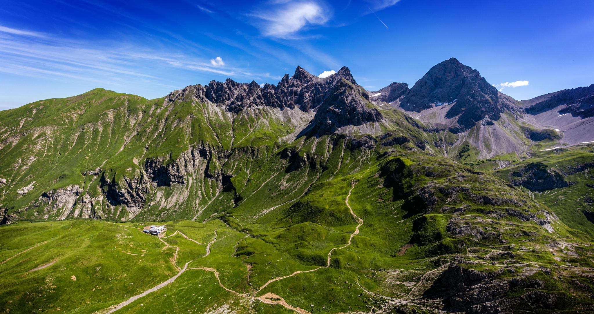
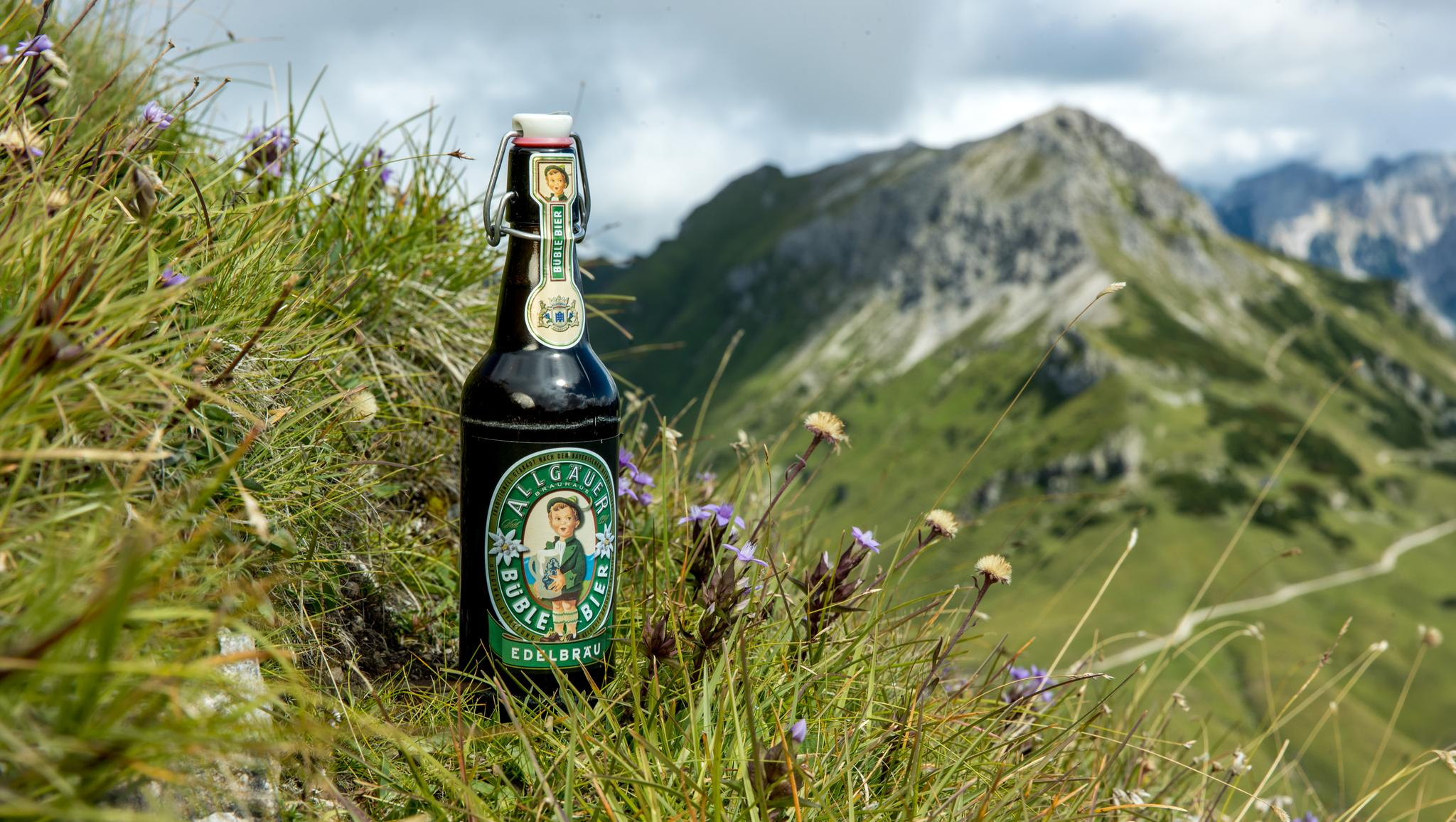
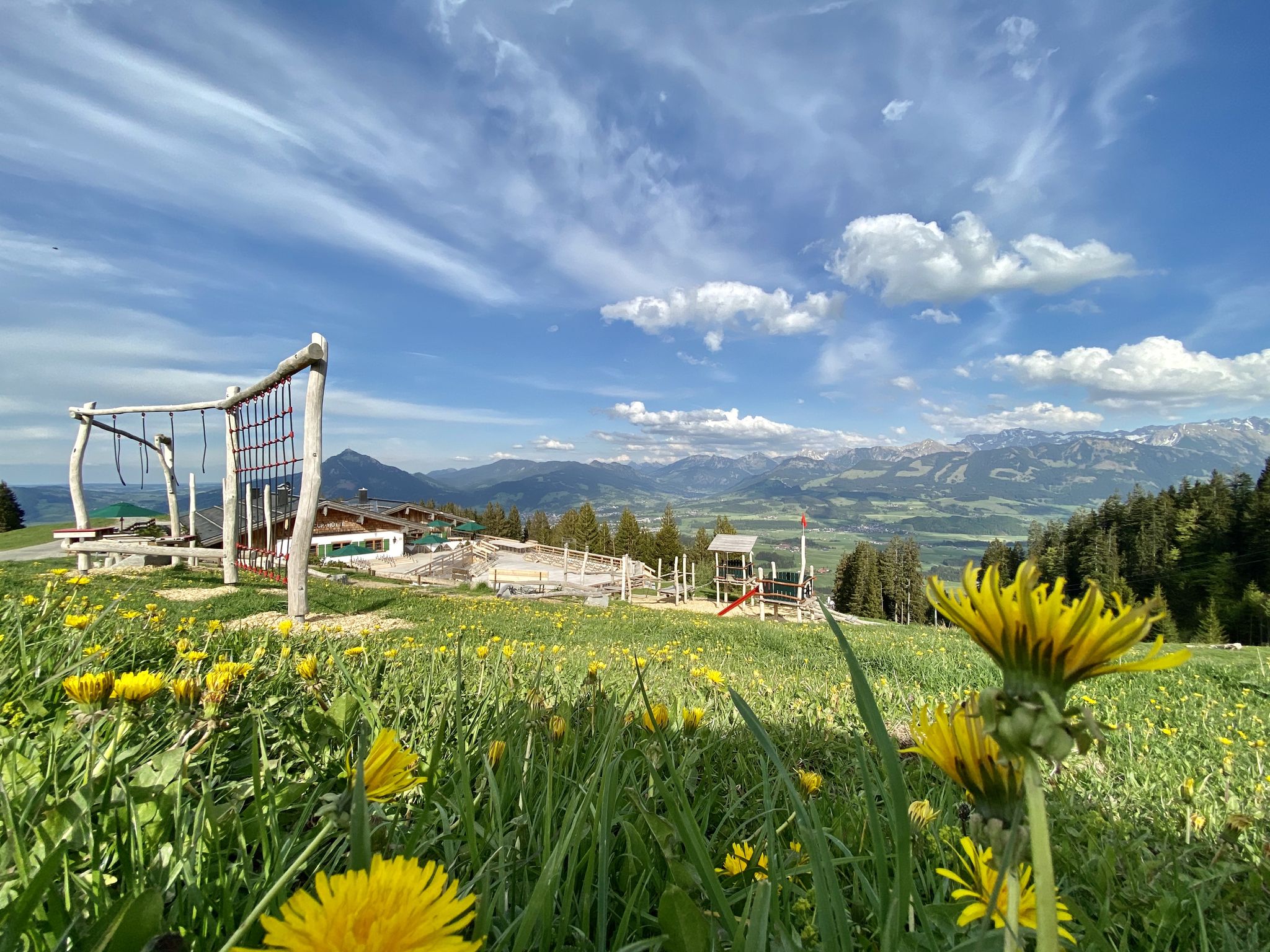
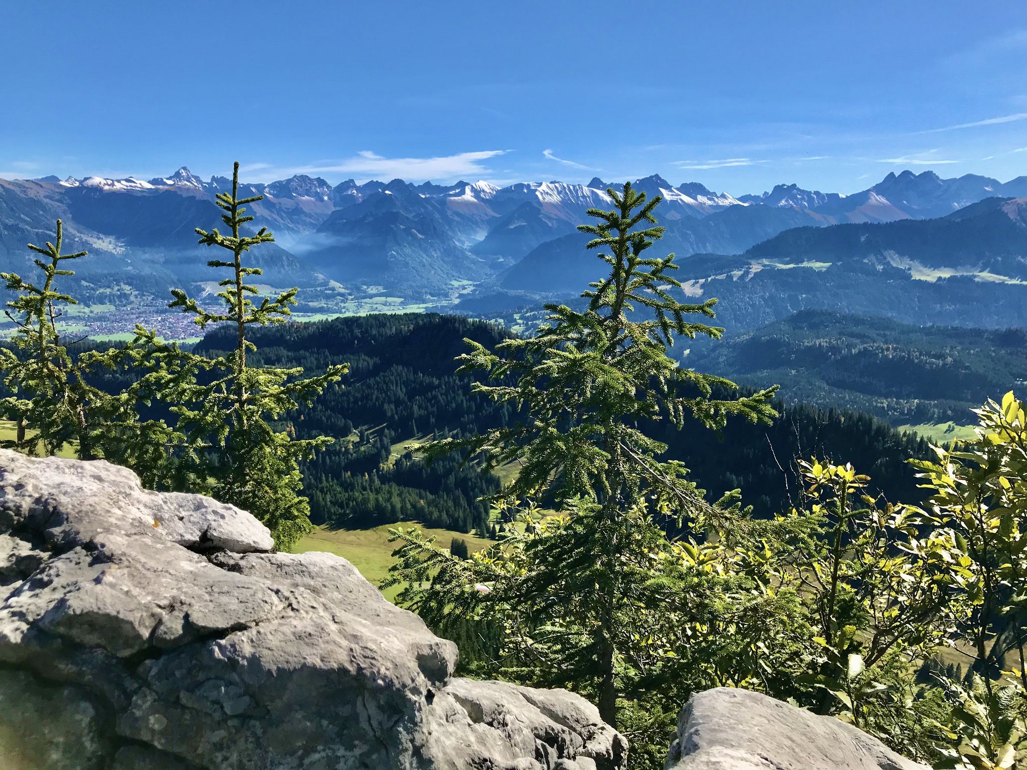
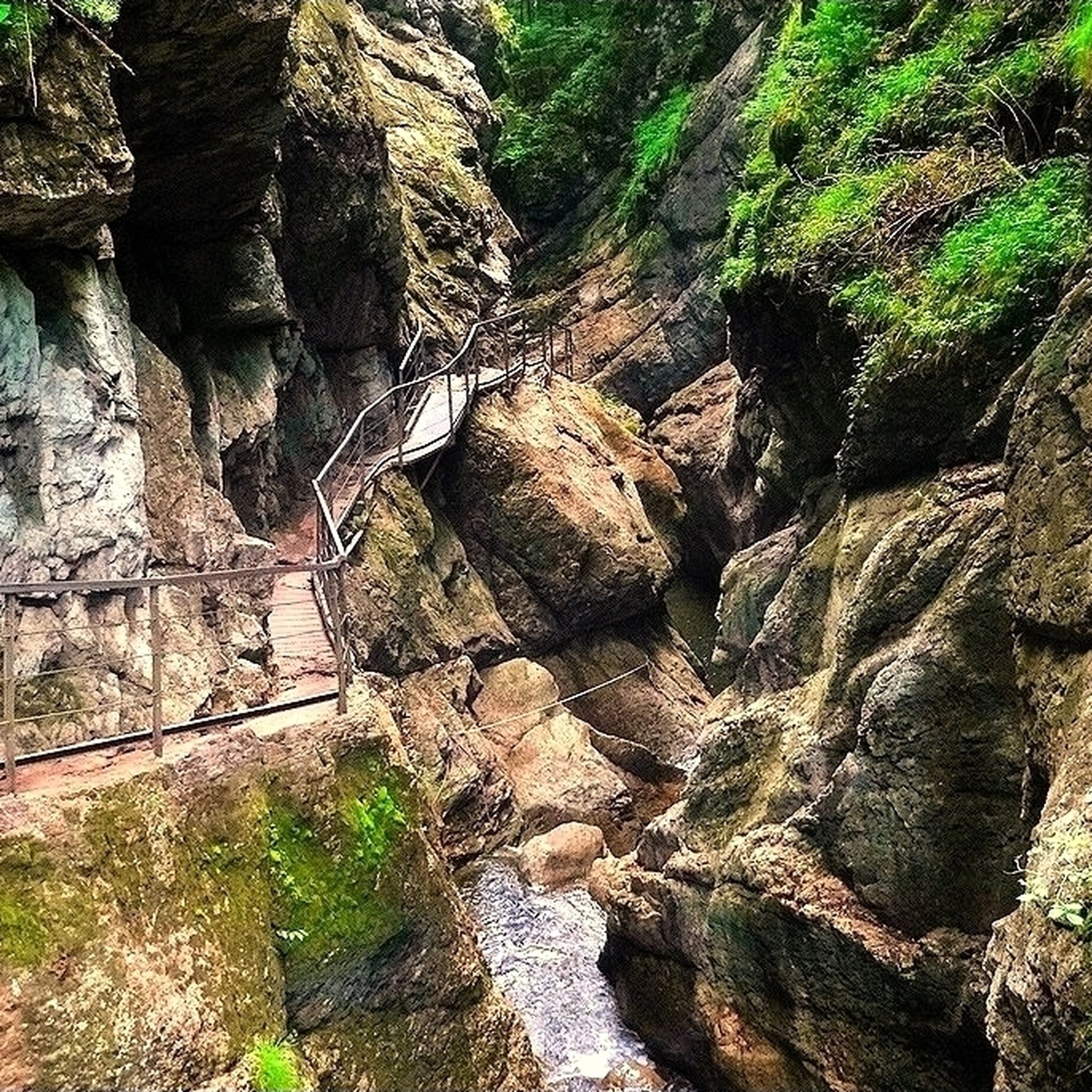
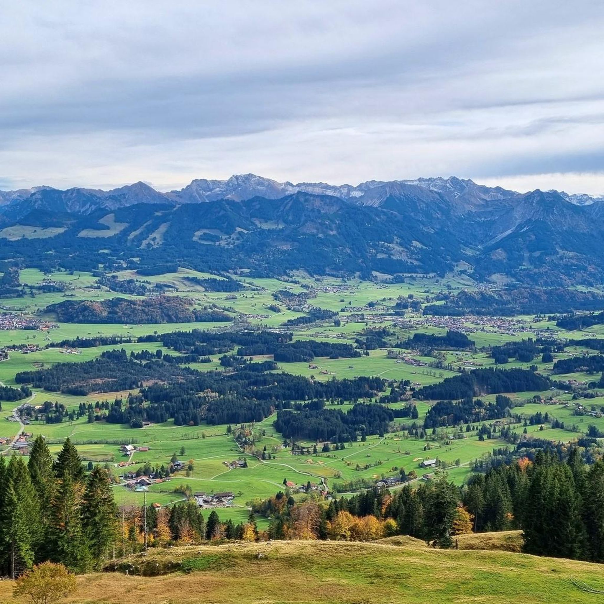
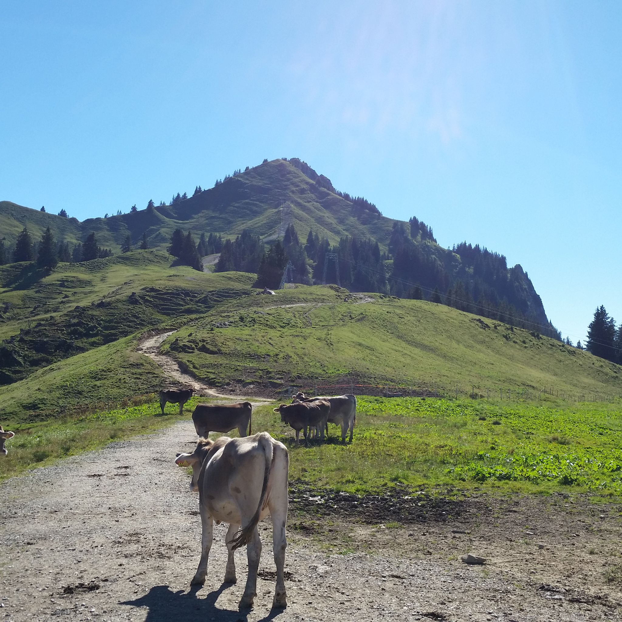
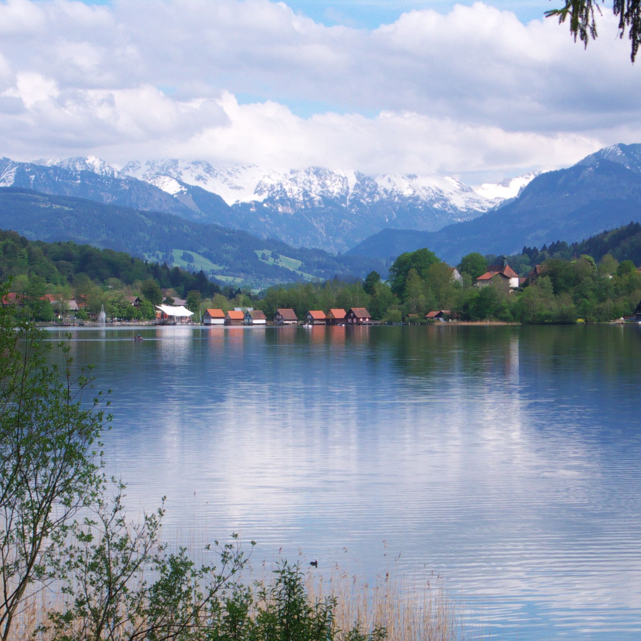
군제리드 주변의 다른 모험


커뮤니티 팁

After the final short climb, you can now enjoy the view from the summit cross. Three benches and tables invite you to enjoy a snack on the mountain. If the weather is nice, you can also take a break directly on the meadow.
4
0

After the alpine pasture, we went right up to the Bärenköpfle with its summit cross... the Steineberg is difficult to manage with four dogs. It was more than worth it! 👌🏼
0
0

The café is called Zenzimilia! and it's fantastic. You can pay by card, the staff is friendly, and the food is delicious.
0
0
The Alpe is located on the way from Mittagberg back to the valley (e.g. to Gunzesried) about 20-30 minutes walk after the summit station of the cable car and is certainly a nice alternative if you can handle it due to hunger and thirst.
0
0
Komoot shows the actual summit about 10 minutes south. The path there is marked as a dashed line and is easy to walk in good weather conditions. The "actual summit" of the Bärenkopf, however, is quite unspectacular.
0
0
The self-service café is perfectly located for hikes, bike rides, or just a casual day out. You order and pay at the counter inside, and you can take your order outside right away. There are various fresh, delicious cakes, all kinds of coffee concoctions, and even a hearty bread plate. The selection of refreshing drinks ranges from Aperol Spritz to Spezi to non-alcoholic wheat beer. There's something for everyone. You can pay with cash or card (including debit/credit), and the staff is super friendly. 👍
0
0


Fancy a rest? You'll pass here on the way from Gunzesried to Steineberg or Mittag.
0
0


더 살펴보기
다른 지역의 최고의 러닝 트레일 & 경로를 살펴보세요.
