회흐슈타트 데어 아이슈 최고의 러닝 경로
4.7
(50)
1,161
달리기 하는 사람
118
러닝
회흐슈타트 데어 아이슈에서 하이킹하며 에를랑겐-회흐슈타트 구석 부분까지 살펴볼까요? 회흐슈타트 데어 아이슈에 있는 모든 하이킹 및 워킹 경로 컬렉션 중 가장 멋진 하이킹 경로를 엄선하여 소개해드릴게요. 다른 하이커가 공유한 실제 팁과 사진을 살펴보고 후기를 읽으며 마음에 드는 회흐슈타트 데어 아이슈 워킹 경로를 찾아보세요.
마지막 업데이트: 11월 10, 2026
4.2
(6)
64
달리기 하는 사람
5.76km
00:36
10m
10m
보통 조깅. 좋은 체력 필요. 대부분 포장된 노면.
2.0
(1)
52
달리기 하는 사람
9.49km
01:00
60m
60m
보통 조깅. 좋은 체력 필요. 대부분 포장된 노면.

5.0
(2)
33
달리기 하는 사람
2.50km
00:17
20m
20m
초급용 러닝. 대부분 포장된 노면.
29
달리기 하는 사람
11.4km
01:11
40m
40m
보통 조깅. 좋은 체력 필요. 대부분 포장된 노면.
5.0
(1)
32
달리기 하는 사람
15.7km
01:38
120m
120m
어려운 조깅. 우수한 체력 필요. 대부분 포장된 노면.
더 다양한 경로와 다른 탐험가들의 추천을 살펴보세요.
이미 komoot 계정이 있나요?
투어 추천은 다른 사람들이 komoot에서 완료한 수천 개의 활동을 바탕으로 구성되어 있습니다.
오늘 무료 계정으로 시작하세요
다음 모험이 기다리고 있어요.
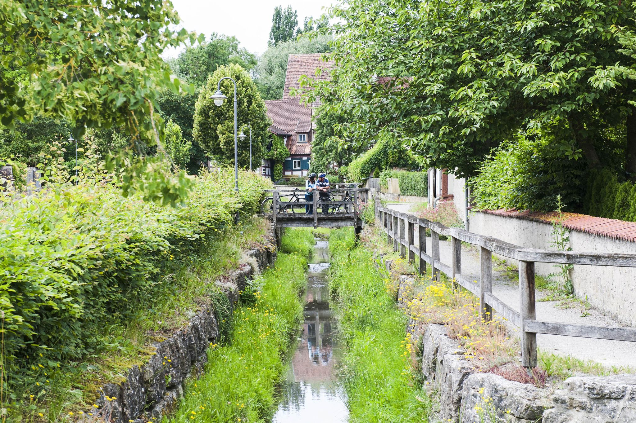
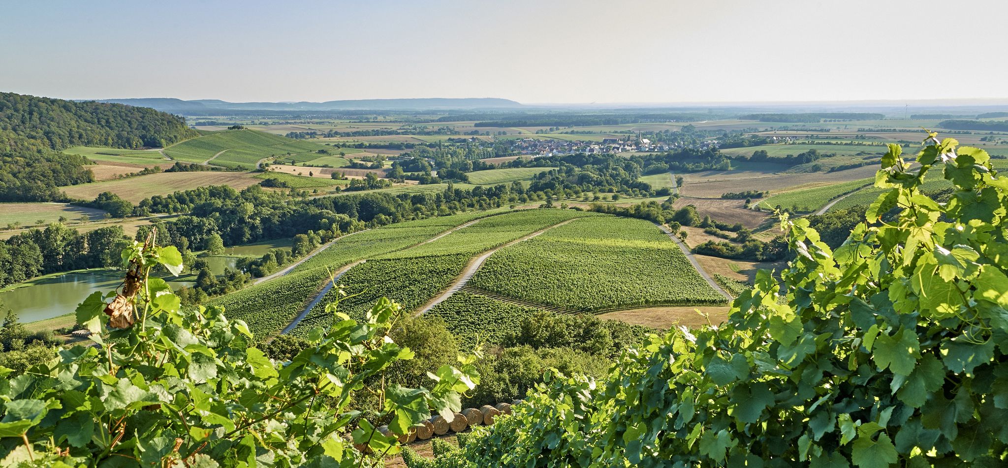
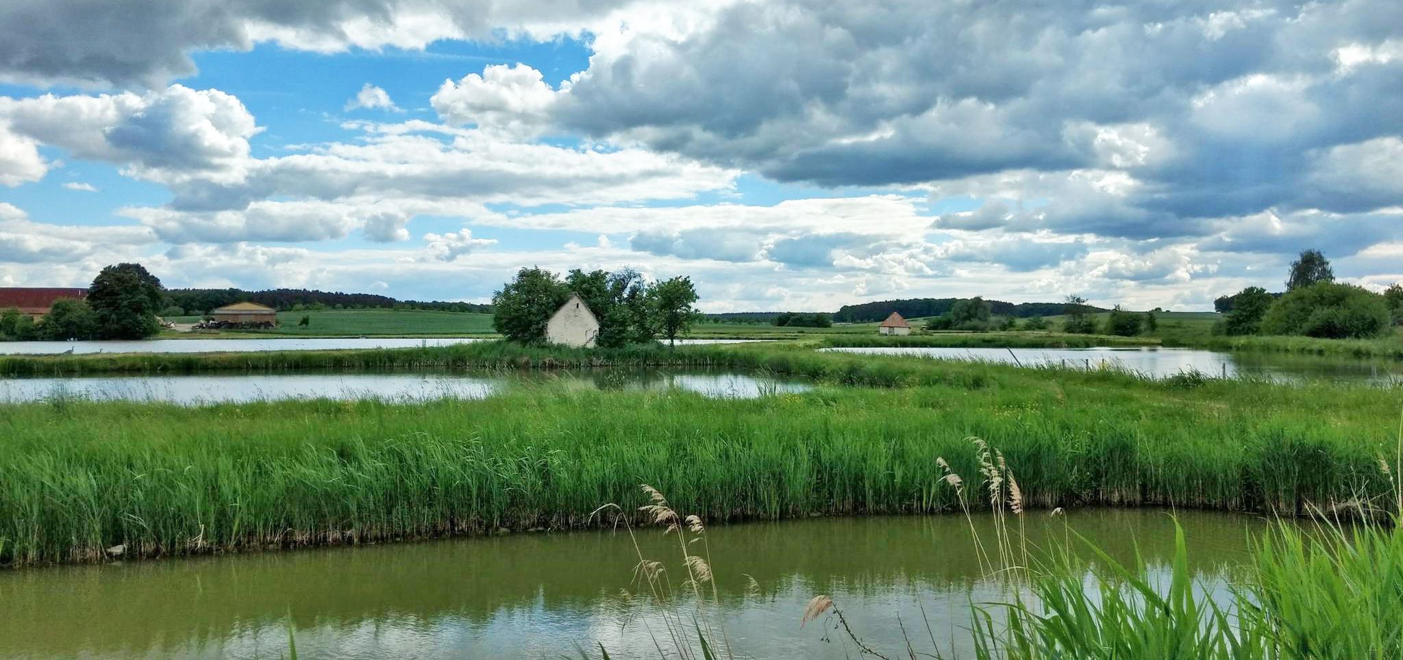
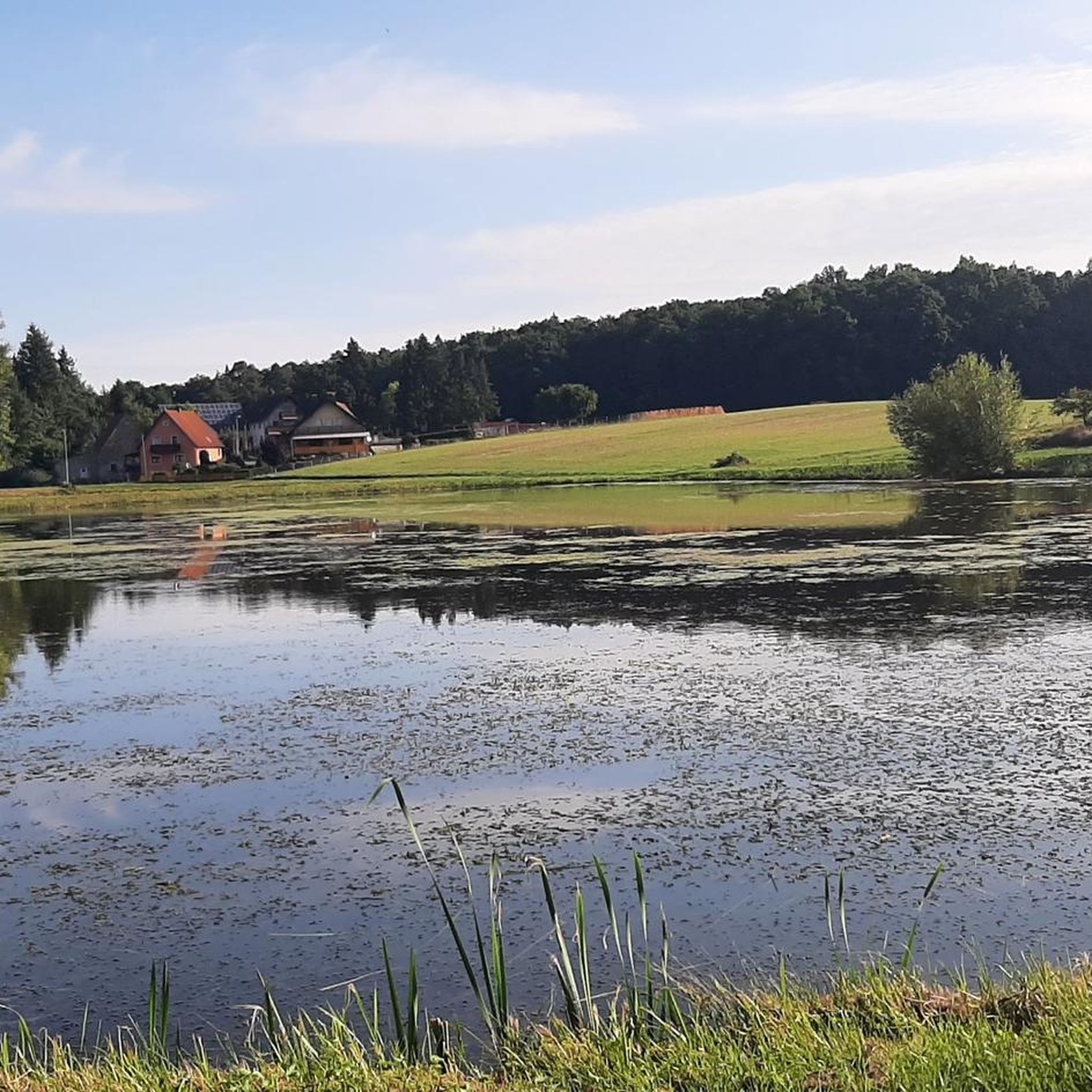



커뮤니티 팁

Large carp in the Höchstadt roundabout, symbol of the Aischgrund carp
0
0

The carp as the "flagship" of the Aischgrund is immortalized here in oversized size on the roundabout.
2
0

A sandstone bridge on the south side of the city of Höchstadt over the Aisch. Built in the 14th century on the site of a ford, the first documented mention was in 1391. A vaulted sandstone bridge with seven round arches, massive side parapets and drainage holes. The bridge is 110 m long, the width of the roadway is approx. 2.80 m to 3.50 m - the width of the bridge was designed for a team of oxen https://www.hoechstadt.de/erleben/tourism/sightseeing
5
0
The Aisch is an almost 83 km long left and southwestern tributary of the Regnitz in Middle and Upper Franconia. The etymology of the name as the clear one wins through the comparison with Lithuanian áiškus for clear.[4][5] In the 17th and 18th centuries, the body of water was also spelled "Aysch". In the past, it was wrongly assumed that the origin of the name Aisch (Carolingian Eisce and Eisge, in a document from 1129 Aisca[6]) meant rich in fish in its original connotation. Source: Wikipedia
4
0


A great intermediate destination for hikers or cyclists, ebikes can be loaded and there is also a super delicious restaurant.
0
0


The "Aischfounder carp" in front of the fishing authority.
4
0
회흐슈타트 데어 아이슈 주변에서 가장 인기 있는 명소


더 살펴보기
다른 지역의 최고의 러닝 트레일 & 경로를 살펴보세요.
