에링 최고의 러닝 경로
4.3
(168)
3,015
달리기 하는 사람
17
러닝
에링에서 하이킹하며 로탈-인 구석 부분까지 살펴볼까요? 에링에 있는 모든 하이킹 및 워킹 경로 컬렉션 중 가장 멋진 하이킹 경로를 엄선하여 소개해드릴게요. 다른 하이커가 공유한 실제 팁과 사진을 살펴보고 후기를 읽으며 마음에 드는 에링 워킹 경로를 찾아보세요.
마지막 업데이트: 10월 3, 2026
5.0
(1)
54
달리기 하는 사람
25.5km
02:47
90m
90m
어려운 조깅. 우수한 체력 필요. 대부분 포장된 지면. 실력과 관계없이 누구나 갈 수 있음.
5.0
(3)
34
달리기 하는 사람
8.06km
00:56
20m
20m
보통 조깅. 좋은 체력 필요. 대부분 포장된 지면. 실력과 관계없이 누구나 갈 수 있음.

5.0
(2)
34
달리기 하는 사람
7.46km
00:54
10m
10m
보통 조깅. 좋은 체력 필요. 대부분 포장된 지면. 실력과 관계없이 누구나 갈 수 있음.
31
달리기 하는 사람
8.67km
00:56
30m
30m
보통 조깅. 좋은 체력 필요. 대부분 포장된 지면. 실력과 관계없이 누구나 갈 수 있음.
5.0
(1)
17
달리기 하는 사람
7.46km
00:50
20m
20m
보통 조깅. 좋은 체력 필요. 대부분 포장된 지면. 실력과 관계없이 누구나 갈 수 있음.
더 다양한 경로와 다른 탐험가들의 추천을 살펴보세요.
이미 komoot 계정이 있나요?
투어 추천은 다른 사람들이 komoot에서 완료한 수천 개의 활동을 바탕으로 구성되어 있습니다.
오늘 무료 계정으로 시작하세요
다음 모험이 기다리고 있어요.
커뮤니티 팁


In 1260, the first bridge over the Inn was built on the orders of Duke Henry XIII. This wooden bridge was repeatedly destroyed in the following centuries by floods, gusts of wind, wars and fires. After the ice blast in January 1880 had torn away part of the wooden bridge that connected Braunau with Simbach, a steel truss bridge on brick pillars and abutments was built jointly by the Austrian and Bavarian governments between 1892 and 1894. This bridge was blown up at the end of the war in 1945. It was not until 1950 that the new bridge was built jointly by the Austrian and Bavarian governments through the Linz-based "VOEST". It is a so-called "deck bridge", i.e. the roadway is installed above the supporting structure so that there is a clear view in all directions. Length: around 272 m Road width: 7.50 m Two sidewalks: each 1.50 m wide. Source: https://www.oberoesterreich.at/oesterreich-poi/detail/401967/innbruecke-braunau-simbach.html
6
0

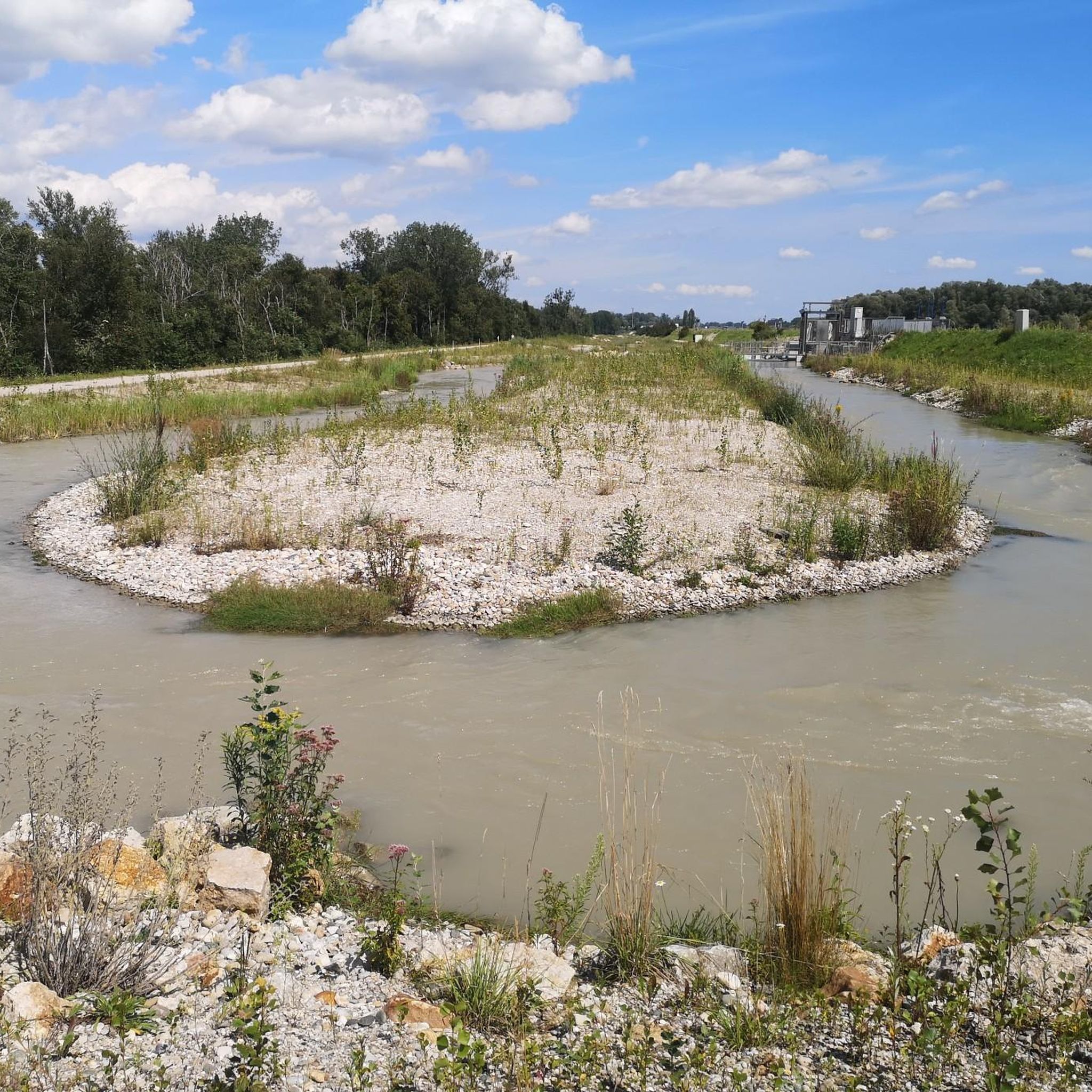
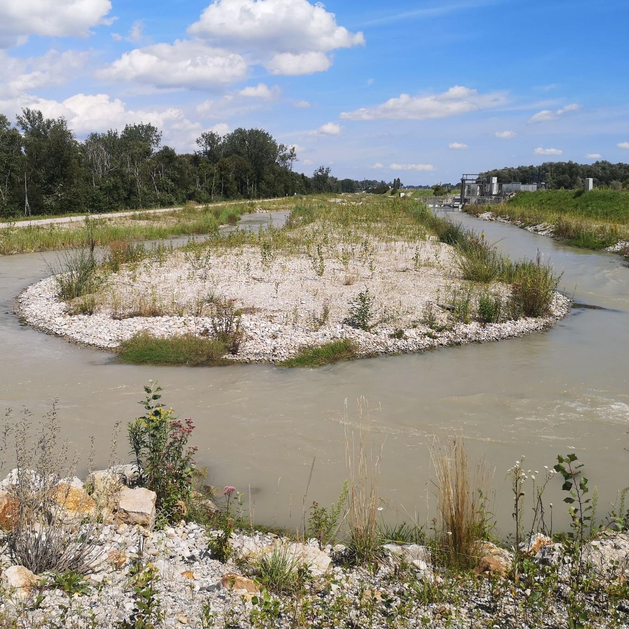
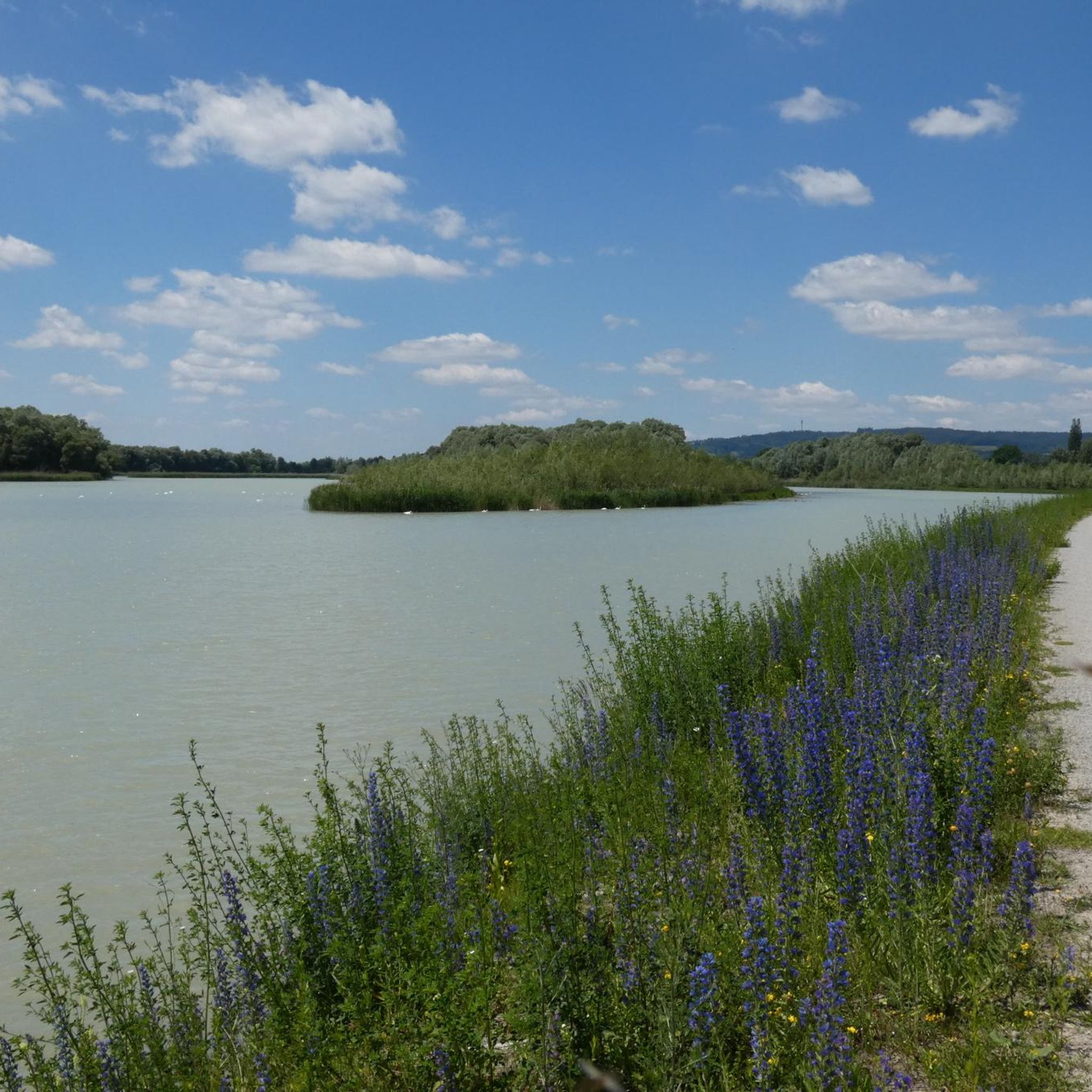
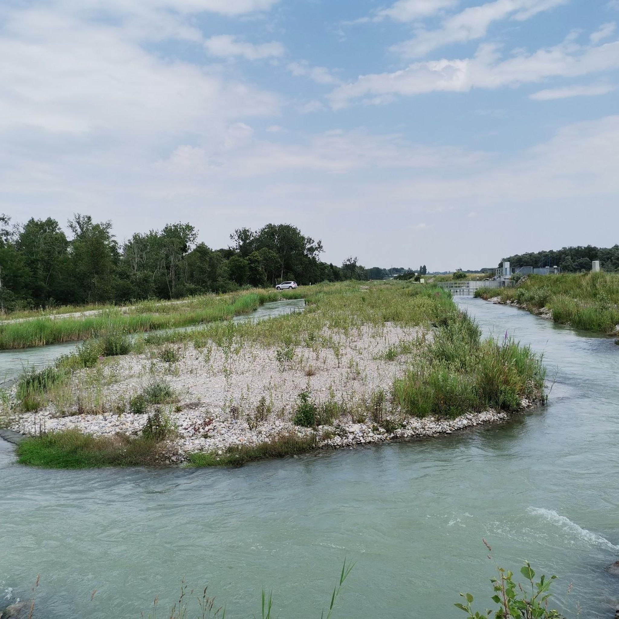
Often frequented by bikers, you can have a snack here in a great setting :-) Then a detour to the cider farmer in Aham near Bogenhofen or to the great Italian restaurant in Hagenau to Braunau
0
0
에링 주변에서 가장 인기 있는 명소


더 살펴보기
다른 지역의 최고의 러닝 트레일 & 경로를 살펴보세요.
