라우에넨 최고의 워킹 & 하이킹 경로
4.6
(505)
4,496
등산객
30
하이킹
정확한 경로를 찾는 것이 때로는 어렵지만 라우에넨에서 하이킹을 하면 다양한 경치를 마음껏 감상할 수 있답니다. 라우에넨에서 가장 멋진 하이킹과 워킹 중에서 마음에 드는 활동을 시작해보세요.
마지막 업데이트: 9월 29, 2026
4.6
(64)
454
등산객
8.74km
02:31
190m
190m
보통 하이킹. 좋은 체력 필요. 실력과 관계없이 누구나 쉽게 갈 수 있는 길.
4.6
(65)
452
등산객
9.17km
02:37
190m
190m
보통 하이킹. 좋은 체력 필요. 실력과 관계없이 누구나 쉽게 갈 수 있는 길.

4.8
(46)
351
등산객
8.46km
03:38
660m
660m
보통 하이킹. 좋은 체력 필요. 대부분 갈 수 있는 길. 미끄러지지 않게 조심해야 함.
4.7
(6)
195
등산객
9.45km
03:47
690m
690m
보통 하이킹. 좋은 체력 필요. 대부분 갈 수 있는 길. 미끄러지지 않게 조심해야 함.
5.0
(2)
37
등산객
17.5km
08:52
1,610m
1,610m
어려운 하이킹. 우수한 체력 필요. 튼튼한 신발을 신고 미끄러지지 않게 조심해야 하며, 높은 산을 오른 경험이 있어야 함.
더 다양한 경로와 다른 탐험가들의 추천을 살펴보세요.
이미 komoot 계정이 있나요?
투어 추천은 다른 사람들이 komoot에서 완료한 수천 개의 활동을 바탕으로 구성되어 있습니다.
오늘 무료 계정으로 시작하세요
다음 모험이 기다리고 있어요.


커뮤니티 팁

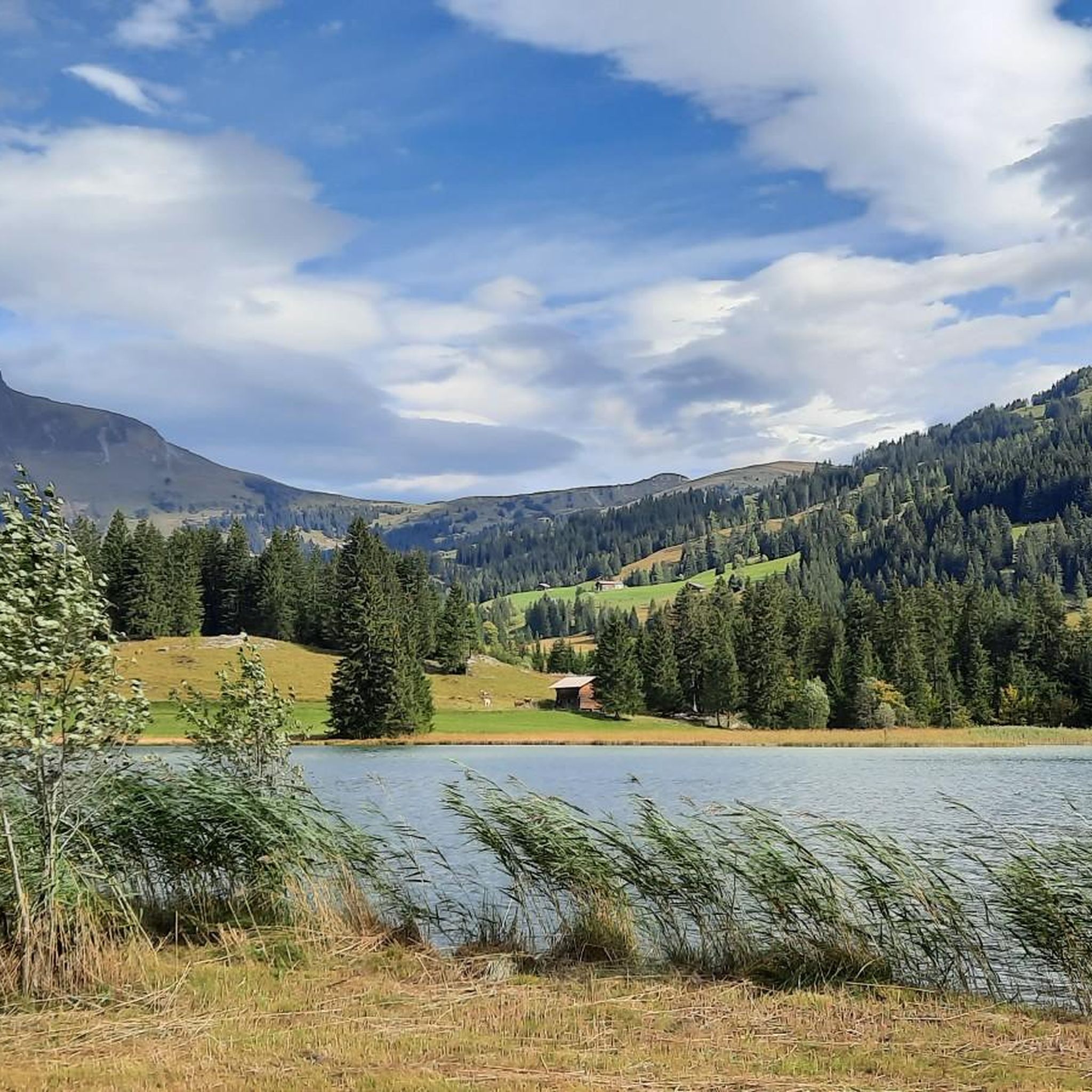
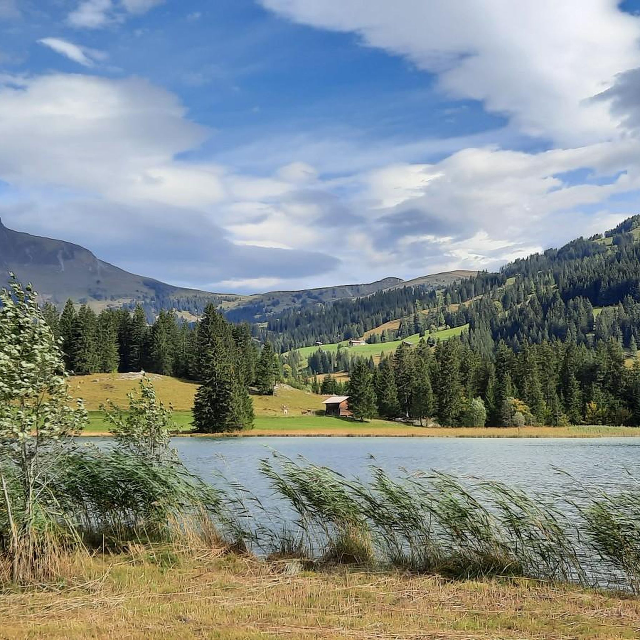
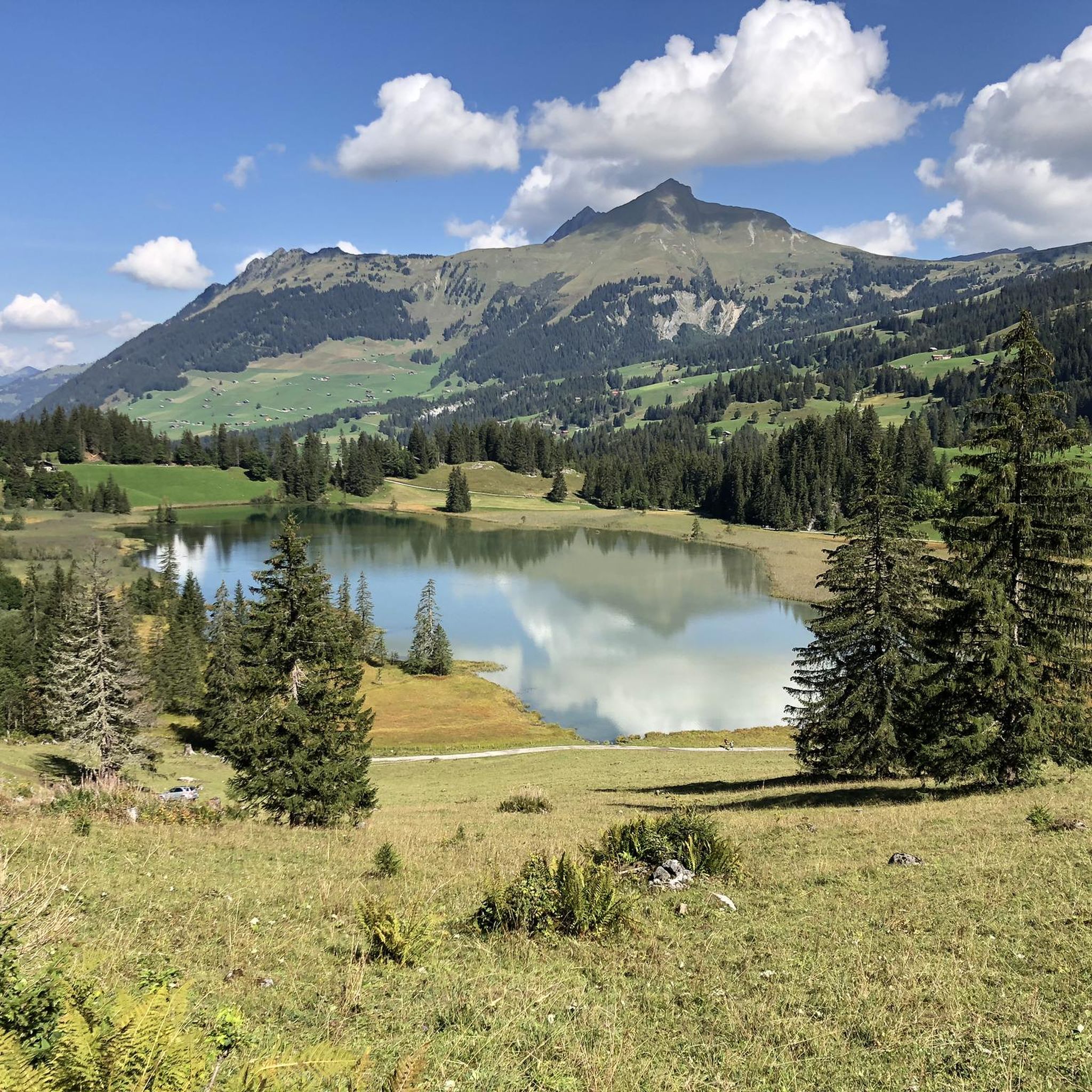
The Tungelschuss waterfall plunges roaring water from the Tungelbach stream over several cascades into the depths – particularly spectacular after snowmelt. The viewing point on the western shore of Lake Lauenen, about 400m from the parking lot, offers a clear view of the waterfall – often accompanied by a loud roar. 🥾 Hike & Access Access: From the parking lot at Lake Lauenen, a well-marked hiking trail takes about 5–10 minutes to the observation point. A popular circular hike (approximately 9–12km, 3–5 hours) connects Lake Lauenen, Tungelschuss, Geltenschuss, and the Geltenhütte SAC – a moderately difficult hike with an elevation gain of around 700m. 📌 Facts at a Glance Altitude approx. 1430m above sea level. M. Distance from the parking lot to the waterfall observation point: approx. 400 m Hiking route: Circular route with Geltenschuss and Geltenhütte possible Duration: Circular route: approx. 3–5 hours, moderate difficulty (T2–T3)
0
0
The hike from Lauenensee to the Geltenhütte SAC is a fantastic mountain hike with waterfalls, alpine scenery, and spectacular scenery ⛰️💧🌿. Route: Starts at the Lauenensee parking lot (CHF 15). The trail initially leads leisurely along the lake, then steadily ascends through the Gelten and Lauibach valleys. Impressive waterfalls and rock faces abound. You reach the Geltenhütte (2,002 m) after about 2.5 to 3 hours (approx. 620 m elevation gain). Highlights: ✅ Idyllic Lauenensee right at the start ✅ Wild waterfalls ✅ Quiet, well-marked mountain trail ✅ Refreshments & overnight stay at the Geltenhütte SAC 🛏️🍲 ✅ Possibility of extending the hike, e.g. B. to the Arpelistock Equipment: Sturdy hiking boots 🥾, weather protection 🧥, plenty of water & snacks 💧🥪, and possibly walking poles 🦯. In early summer, there may be patches of snow – surefootedness is required. Recommendation: Set off early in the morning ⏰, especially on warm days – the trail is exposed to the sun.
1
1

Below the highest peaks of the Bernese Alps, this path passes through a beautiful forest crossed by the Louwibach. The reflections of the sun on the trees and the stream create a magical atmosphere.
0
0

Attention: The last 100 mUp from Sanetsch are T4
0
0
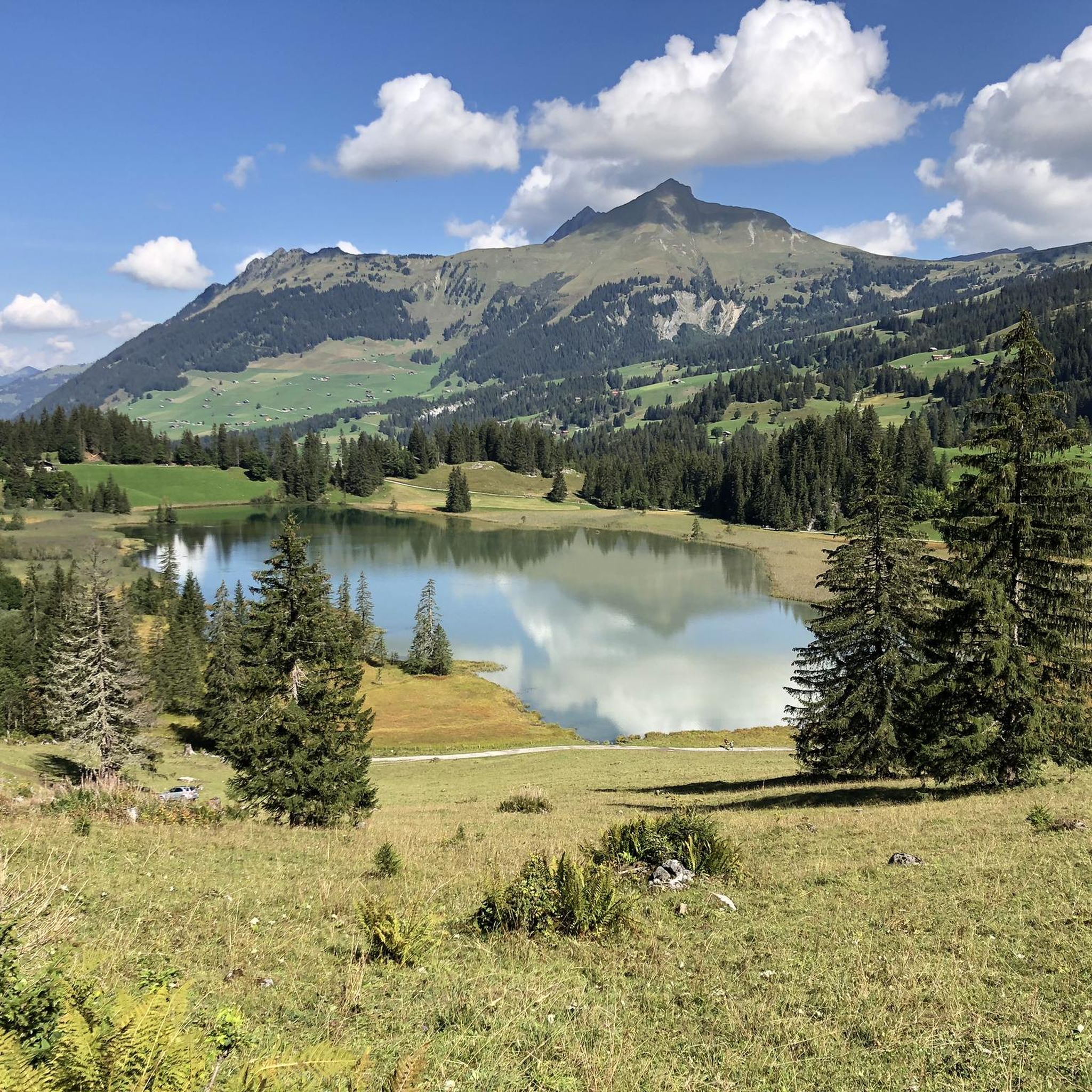
🚗 The starting point of the hike is the Lauenensee. You can arrive by car and park at the Lauenensee car park (parking fee 5 CHF). Alternatively, you can take the bus to the Lauenensee stop. 🚶♂️ The hike to the Geltenbach waterfall is moderately difficult and takes about 1 hour each way. Follow the signs towards Geltenhütte and Geltenbach waterfall. The path initially leads you along the picturesque Lauenensee and forests. The path is well signposted and offers wonderful views along the way. After about 1 hour you reach the impressive Geltenbach waterfall 🌊
1
0

We did a 4-day hike around the Wildhorn. This hike from Lauenensee was a great start to the next 4 days.
0
0
Along the Geltenbach you reach the Geltenhütte. Beautiful climb.
1
0


더 살펴보기
다른 지역의 최고의 하이킹를 살펴보세요.
