에를리그하임 최고의 러닝 경로
5.0
(35)
95
달리기 하는 사람
17
러닝
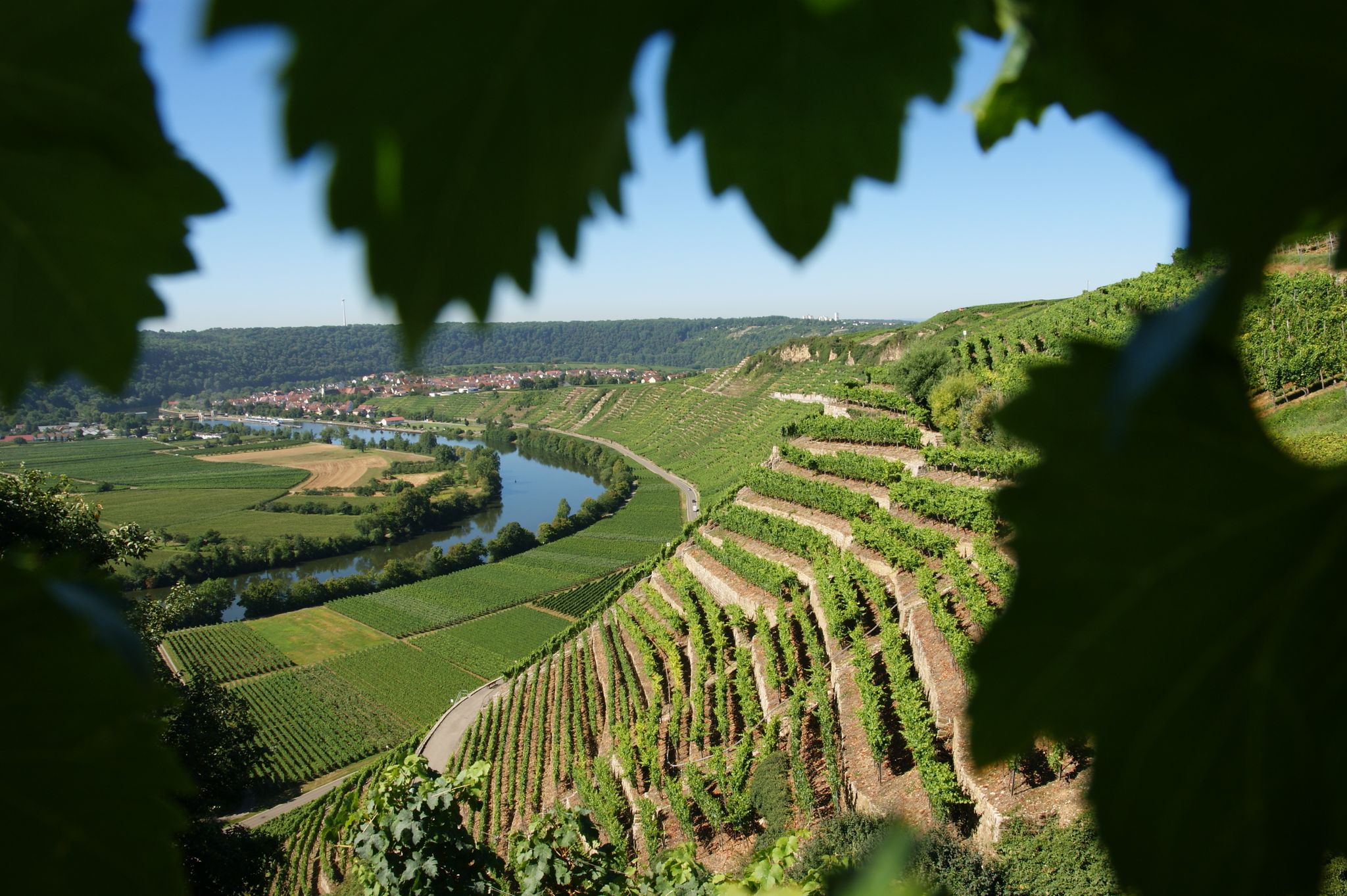
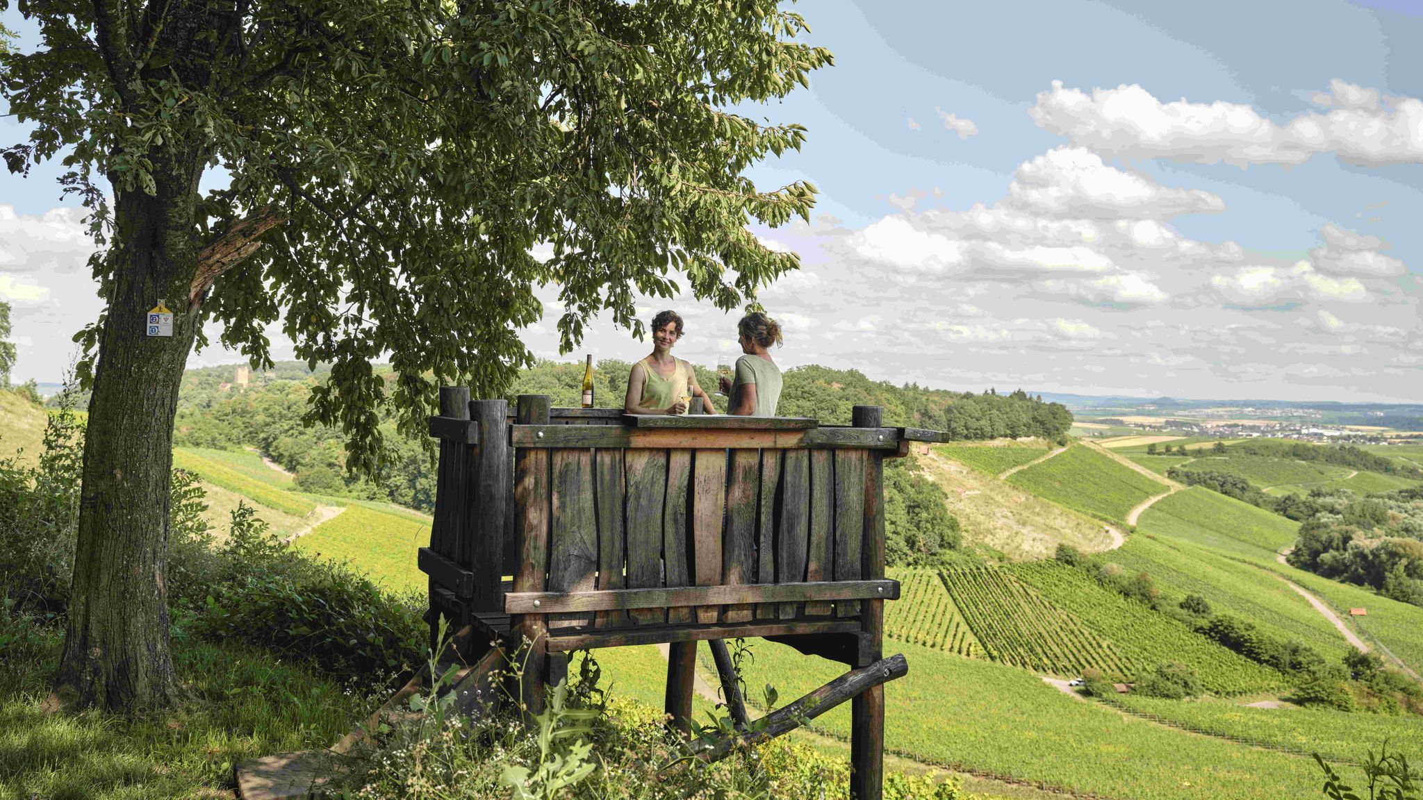
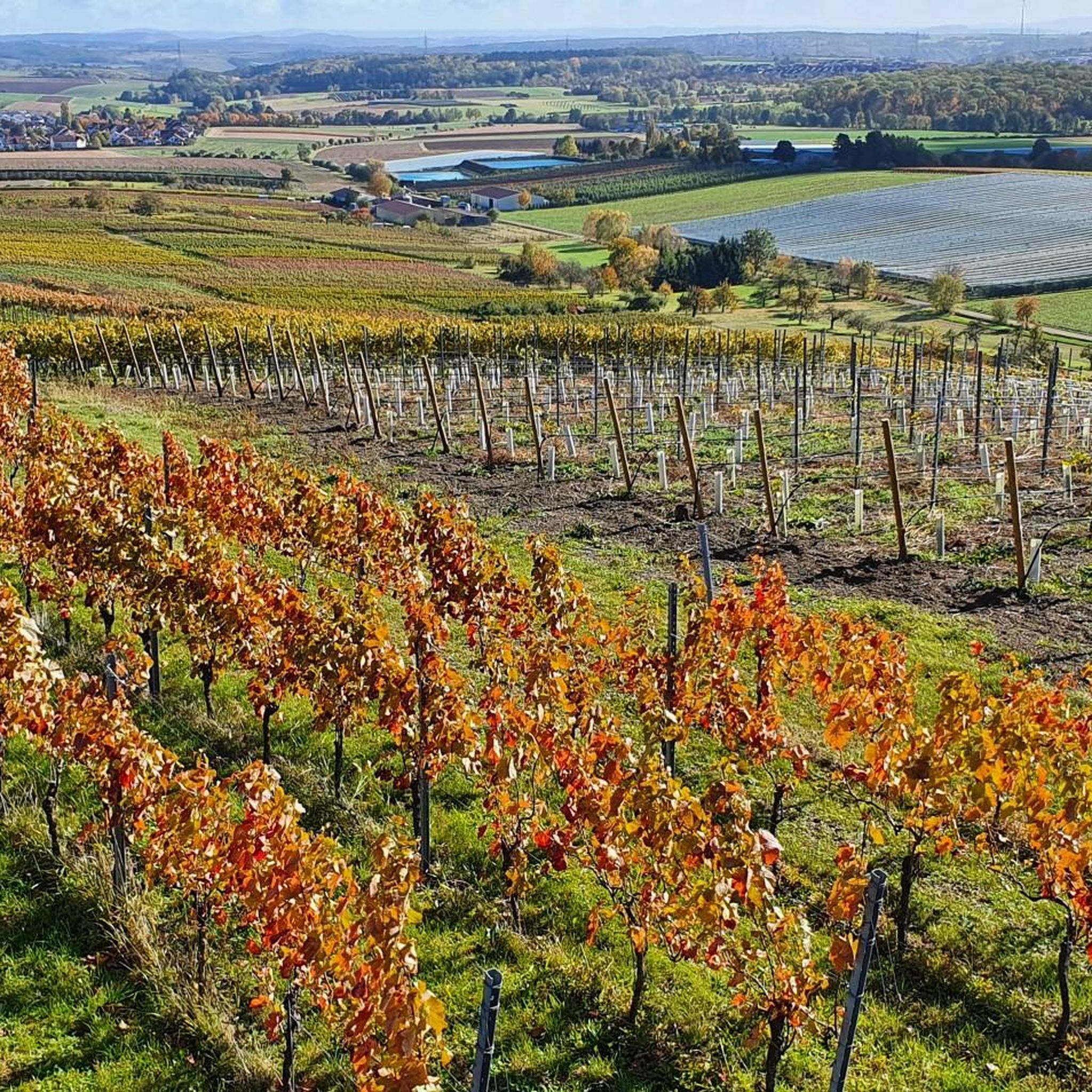
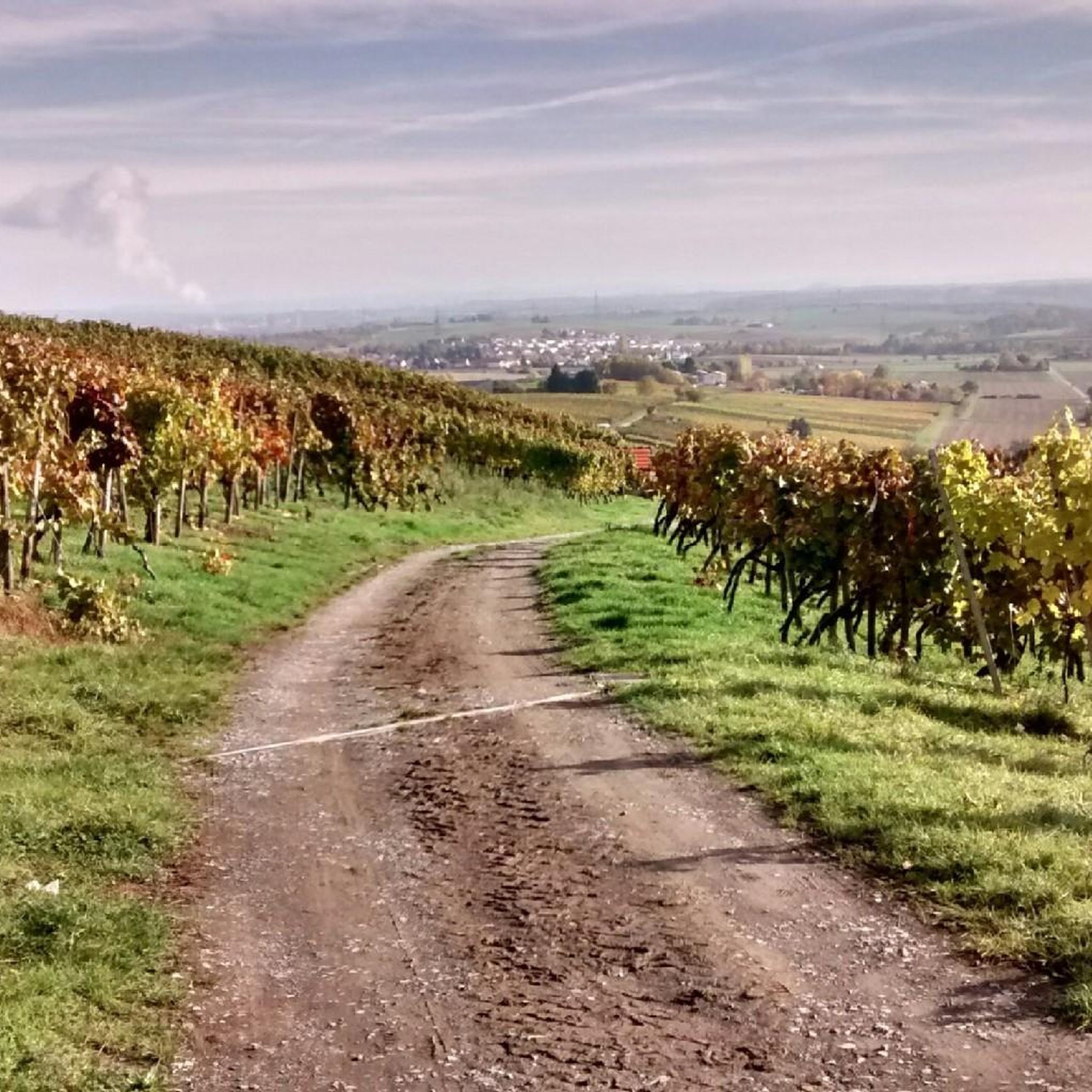
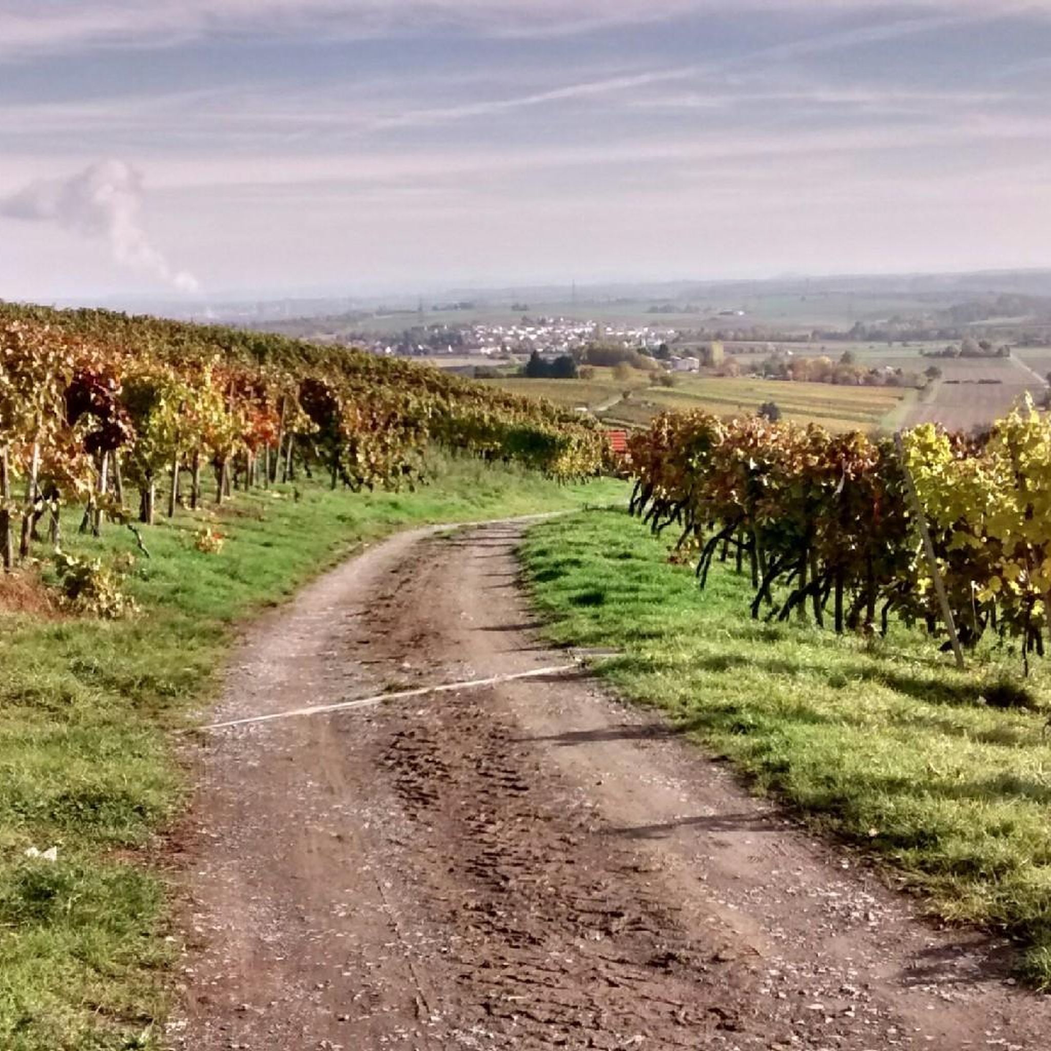
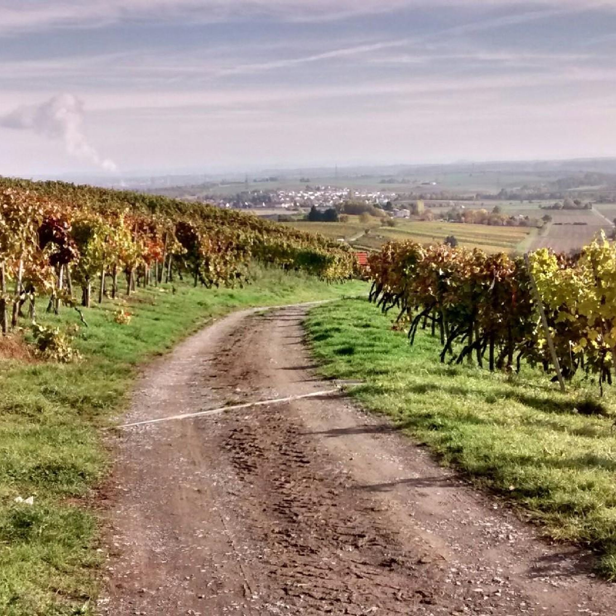
Erлиг하임 주변의 조깅 코스는 네카르 분지 내의 다양한 풍경을 가로지르며 슈트롬베르크와 호이헬베르크 지역까지 뻗어 있습니다. 이 지역은 구불구불한 언덕, 울창한 숲, 그림 같은 포도밭이 특징이며, 러너들에게 다양한 지형을 제공합니다. 슈트롬베르크-호이헬베르크 자연 공원과의 근접성은 수많은 잘 관리된 트레일을 제공합니다. 이러한 자연 환경은 야외 활동을 위한 자극적인 환경을 조성합니다.
Erлиг하임 주변 최고의 조깅 코스
- 가장 인기 있는 조깅 코스는 Erлиг하임에서 출발하는 Mayer Winery, Besenwirtschaft – Weinzeit Café & Winery Bähr 루프로, 2.4마일(3.9km) 길이의 트레일이며 완료하는 데 약 24분이 소요됩니다. 이 쉬운…
마지막 업데이트: 10월 7, 2026
8
달리기 하는 사람
10.5km
01:07
90m
90m
보통 조깅. 좋은 체력 필요. 대부분 포장된 지면. 실력과 관계없이 누구나 갈 수 있음.
5.0
(1)
16
달리기 하는 사람
6.25km
00:40
50m
50m
보통 조깅. 좋은 체력 필요. 대부분 포장된 지면. 실력과 관계없이 누구나 갈 수 있음.

8
달리기 하는 사람
6.34km
00:40
50m
50m
보통 조깅. 좋은 체력 필요. 대부분 포장된 지면. 실력과 관계없이 누구나 갈 수 있음.
10
달리기 하는 사람
14.8km
01:36
210m
210m
보통 조깅. 좋은 체력 필요. 대부분 포장된 지면. 실력과 관계없이 누구나 갈 수 있음.
4
달리기 하는 사람
11.2km
01:11
90m
90m
보통 조깅. 좋은 체력 필요. 대부분 포장된 지면. 실력과 관계없이 누구나 갈 수 있음.
더 다양한 경로와 다른 탐험가들의 추천을 살펴보세요.
이미 komoot 계정이 있나요?
투어 추천은 다른 사람들이 komoot에서 완료한 수천 개의 활동을 바탕으로 구성되어 있습니다.
오늘 무료 계정으로 시작하세요
다음 모험이 기다리고 있어요.
에를리그하임 주변 인기 장소



에를리그하임 주변의 다른 모험

커뮤니티 팁

오늘날에도 여전히 존재하는 프로이덴탈 북서쪽에 있는 유대인 묘지는 1811년에 조성되었습니다. 이전의 알렌펠트에 있던 묘지는 1723년부터 존재했지만 폐쇄되어야 했습니다. 쾨니히슈트라세 북쪽에 위치한 묘지 부지에 프리드리히 왕은 1811년에 꿩 사육장을 건설했습니다. 뵈니히하이머 마르쿵에 위치한 두 번째 유대인 묘지에는 460개의 묘지가 있습니다. 이곳에는 1941년까지 지역 유대인들이 묻혔습니다.
3
0

Two benches and a table are covered, under a tree there are three apple chairs and an apple table for resting
0
0
with vineyard and wine tavern, opening hours can be found here: https://baehr-weine.de/
0
0

Covered rest area opposite the Talhof
1
0

Seating area with table at the edge of the forest and view towards the meadows and fields in front of Freudental.
8
0
Adjacent to a pilgrimage chapel "Zu unserer lieben Frau" (Our Lady), already existing in 1449 on the "Frauenberg," a ridge southwest of Bönnigheim, the monastery was founded in 1477 by resolution of the Provincial Chapter in Bamberg as a Franciscan Observant Cella on the fiefdom of Archbishop Dietrich of Mainz. The initiative for this may have originated from a visitation of the monasteries in Heilbronn and Leonberg conducted the previous year by Vicar Johannes Philippi. It is likely that the Cella, planned not as a convent but as a "residence," was at least initially dependent on the convent in Heilbronn. The monastery family comprised around twelve brothers; their names between 1486 and 1543 are recorded in the chapter tablets and an obituary. The superiors initially called themselves vicars, possibly because of their dependence on Heilbronn, and from 1501 onward, they were called "presidents." The monastery was run by the Franciscan provincial chapter of Strasbourg from 1478 to 1543. With the introduction of the Reformation following the Peasants' War in 1525, the monastery's religious life was restricted, and its continued existence was limited to the lifetime of the monks present. In 1540, the last monk left the monastery. Two years later, Archbishop Albrecht of Mainz handed the abandoned complex over to the care of the city. The monastery fell into disrepair and was demolished in 1792. Few fragments of architecture and furnishings have survived. A brief archaeological investigation, including surveying of the preserved foundations, was carried out during the land consolidation of 1974/76. The foundations of the choir, now in an idyllic location, were consolidated and are accessible.
3
0
에를리그하임 주변에서 가장 인기 있는 명소


더 살펴보기
다른 지역의 최고의 러닝 트레일 & 경로를 살펴보세요.
