화이트힐 최고의 라이딩 경로
3.9
(45)
277
자전거 타는 사람
43
라이딩
화이트힐에서 로드 사이클링을 하실 계획인가요? 화이트힐의 모든 로드 라이딩 중에서 가장 멋진 라이딩 장소를 엄선했으니 화이트힐에서 가장 마음에 드는 로드 사이클링 경로를 찾아보세요.
마지막 업데이트: 10월 14, 2026
1
자전거 타는 사람
137km
05:46
1,050m
1,050m
Cycle the difficult 84.9-mile Lough Erne and Ballyshannon loop from Enniskillen, featuring lough views, coastal scenery, and varied terrain.
4.0
(2)
10
자전거 타는 사람
30.6km
01:33
370m
370m
보통 도로 자전거 타기. 좋은 체력 필요. 지면 대부분이 잘 포장되어 있고 라이딩하기 쉬움.

9
자전거 타는 사람
79.8km
03:34
540m
530m
보통 도로 자전거 타기. 좋은 체력 필요. 지면 대부분이 잘 포장되어 있고 라이딩하기 쉬움.
4
자전거 타는 사람
53.8km
02:43
650m
650m
보통 도로 자전거 타기. 좋은 체력 필요. 지면 대부분이 잘 포장되어 있고 라이딩하기 쉬움.
5
자전거 타는 사람
80.2km
04:01
900m
900m
보통 도로 자전거 타기. 좋은 체력 필요. 투어 중 라이딩하기 어려운 비포장 구간이 있을 수 있음.
더 다양한 경로와 다른 탐험가들의 추천을 살펴보세요.
이미 komoot 계정이 있나요?
투어 추천은 다른 사람들이 komoot에서 완료한 수천 개의 활동을 바탕으로 구성되어 있습니다.
오늘 무료 계정으로 시작하세요
다음 모험이 기다리고 있어요.
화이트힐 주변 인기 장소

커뮤니티 팁

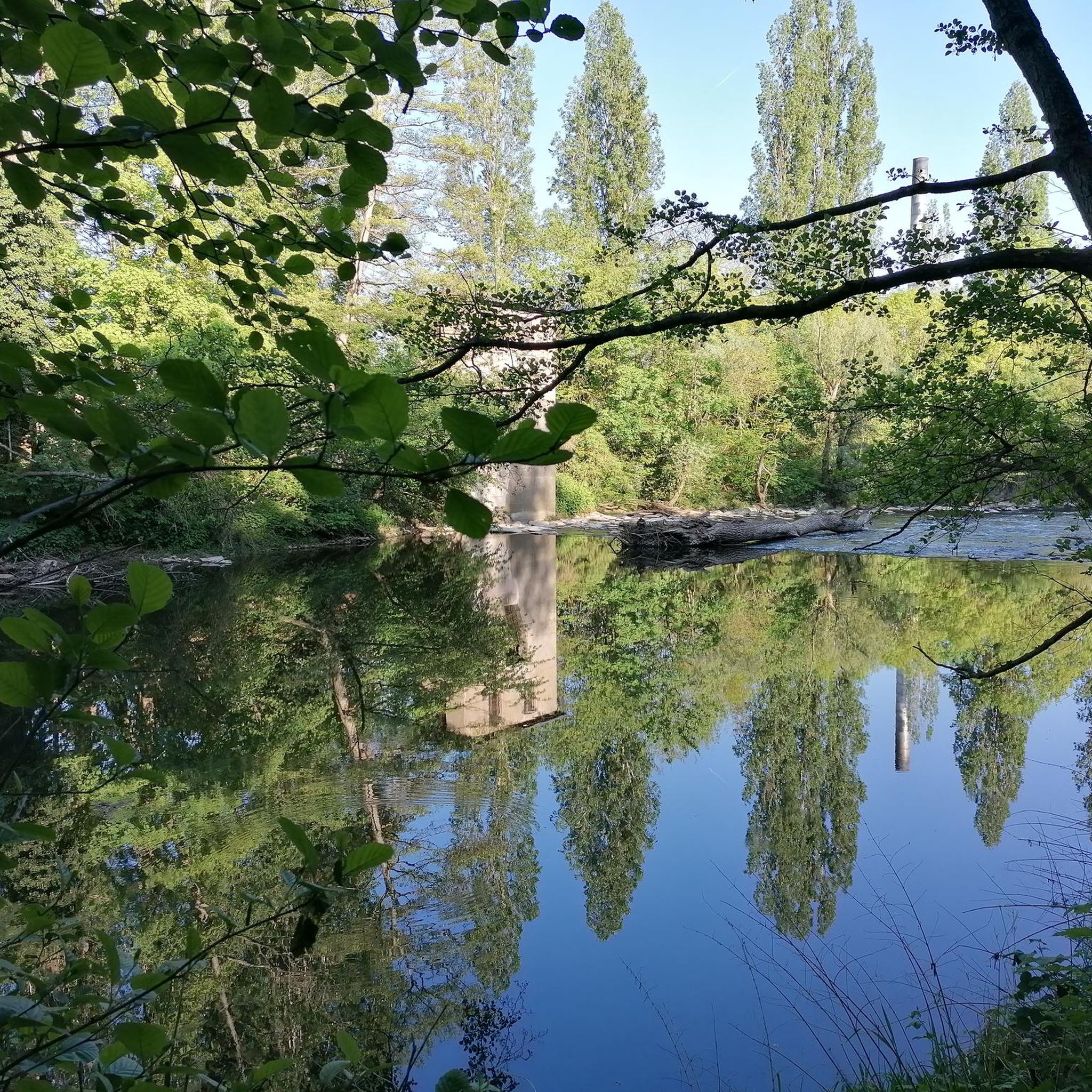
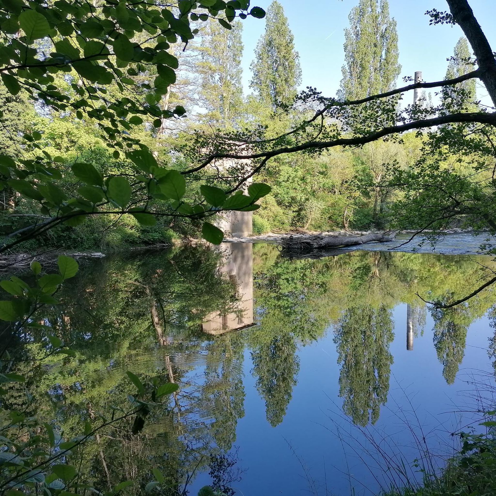
Breedoge 강이 바다로 흘러 들어가는 Donegal Bay의 잔잔하고 탁 트인 구간입니다. 넓은 수평선, 조수 간석지, Bundoran의 전망은 Tullaghan과 Donegal 해안 사이의 미묘하지만 분위기 있는 풍경 순간을 선사합니다.
3
0

The castle now houses the Fermanagh County Museum, which focuses on the history, culture and natural history of the county.
0
0

Gorgeous views of the Lough, well paved surface
0
0

Would not regard the Sligo Road from Enniskillen to Belcoo as a cycle friendly road. Extremely poor surface for considerable stretches, very bendy in places too. I live in Enniskillen; have cycled it but would avoid it if at all possible. Cycling via Five Points , on Swanlinbar Road; then via old rail line from old Letterbreen railway station towards Lough MacNean ; or take road from Five Points towards Gortatole is a far more pleasant and safer option.
2
0

In the graveyard are several interesting stones, probably the most noted one is known as the Bishops stone, this odd shaped stone has been altered and reused several times, originally thought to have been a carved figure similar to those on nearby White Island. Another stone with a lot of history is the large slab standing west of the bishops stone, one side of the stone bears at least twelve cup-shaped hollows, see image above right, which suggest this maybe a multiple bullaun stone/cup marked stone that has been reused as an early Christian cross slab, as on the obverse face is a Greek cross in a circle with a bifurcated stem. Situated south of the bullaun stone is a holed stone, as the image shows this stone is half embedded in the ground. Immediately to the West of the holed stone is a broken 1.2 metre high stone pillar. This stone may have been damaged. http://www.megalithicireland.com/Killadeas.htm
1
0

The magnificent Enniskillen Castle is situated in the heart of Enniskillen on the banks of the River Erne. The castle was founded in the 15th century by Hugh 'The Hospitable' Maguire and belonged to the Maguire family for centuries. Between 2007 and 2013 a massive refurbishment took place so that the castle could be opened to the public. Today you can explore the castle grounds and learn about this landmarks rich history.
1
0
In the graveyard are several interesting stones, probably the most noted one is known as the Bishops stone, this odd shaped stone has been altered and reused several times, originally thought to have been a carved figure similar to those on nearby White Island. Another stone with a lot of history is the large slab standing west of the bishops stone, one side of the stone bears at least twelve cup-shaped hollows, see image above right, which suggest this maybe a multiple bullaun stone/cup marked stone that has been reused as an early Christian cross slab, as on the obverse face is a Greek cross in a circle with a bifurcated stem. Situated south of the bullaun stone is a holed stone, as the image shows this stone is half embedded in the ground. Immediately to the West of the holed stone is a broken 1.2 metre high stone pillar. This stone may have been damaged. http://www.megalithicireland.com/Killadeas.htm
0
0

Ideal starting point for the hike to the Stairway to Heaven, there are a total of 3 parking spaces available. Some spaces are reserved for larger vehicles/motorhomes; the steward will direct you when reversing. Parking fee of 5 GBP or 6 Euros must be paid in cash to the steward.
2
0
화이트힐 주변에서 가장 인기 있는 경로
화이트힐 주변에서 가장 인기 있는 명소


더 살펴보기
다른 지역의 최고의 로드 사이클링 경로를 살펴보세요.
