오버키르히 최고의 러닝 경로
4.5
(135)
1,707
달리기 하는 사람
120
러닝
오버키르히에서 하이킹하며 오르테나우 구석 부분까지 살펴볼까요? 오버키르히에 있는 모든 하이킹 및 워킹 경로 컬렉션 중 가장 멋진 하이킹 경로를 엄선하여 소개해드릴게요. 다른 하이커가 공유한 실제 팁과 사진을 살펴보고 후기를 읽으며 마음에 드는 오버키르히 워킹 경로를 찾아보세요.
마지막 업데이트: 10월 5, 2026
4.3
(12)
203
달리기 하는 사람
10.4km
01:05
90m
90m
보통 조깅. 좋은 체력 필요. 대부분 포장된 지면. 실력과 관계없이 누구나 갈 수 있음.
3.7
(15)
74
달리기 하는 사람
7.66km
00:47
20m
20m
보통 조깅. 좋은 체력 필요. 대부분 포장된 지면. 실력과 관계없이 누구나 갈 수 있음.

3.6
(14)
68
달리기 하는 사람
8.51km
00:53
30m
30m
보통 조깅. 좋은 체력 필요. 대부분 포장된 지면. 실력과 관계없이 누구나 갈 수 있음.
4.5
(4)
113
달리기 하는 사람
18.0km
01:53
110m
120m
어려운 조깅. 우수한 체력 필요. 대부분 포장된 지면. 실력과 관계없이 누구나 갈 수 있음.
5.0
(5)
43
달리기 하는 사람
8.99km
00:58
100m
100m
보통 조깅. 좋은 체력 필요. 대부분 포장된 지면. 실력과 관계없이 누구나 갈 수 있음.
더 다양한 경로와 다른 탐험가들의 추천을 살펴보세요.
이미 komoot 계정이 있나요?
투어 추천은 다른 사람들이 komoot에서 완료한 수천 개의 활동을 바탕으로 구성되어 있습니다.
오늘 무료 계정으로 시작하세요
다음 모험이 기다리고 있어요.
오버키르히 주변 인기 장소
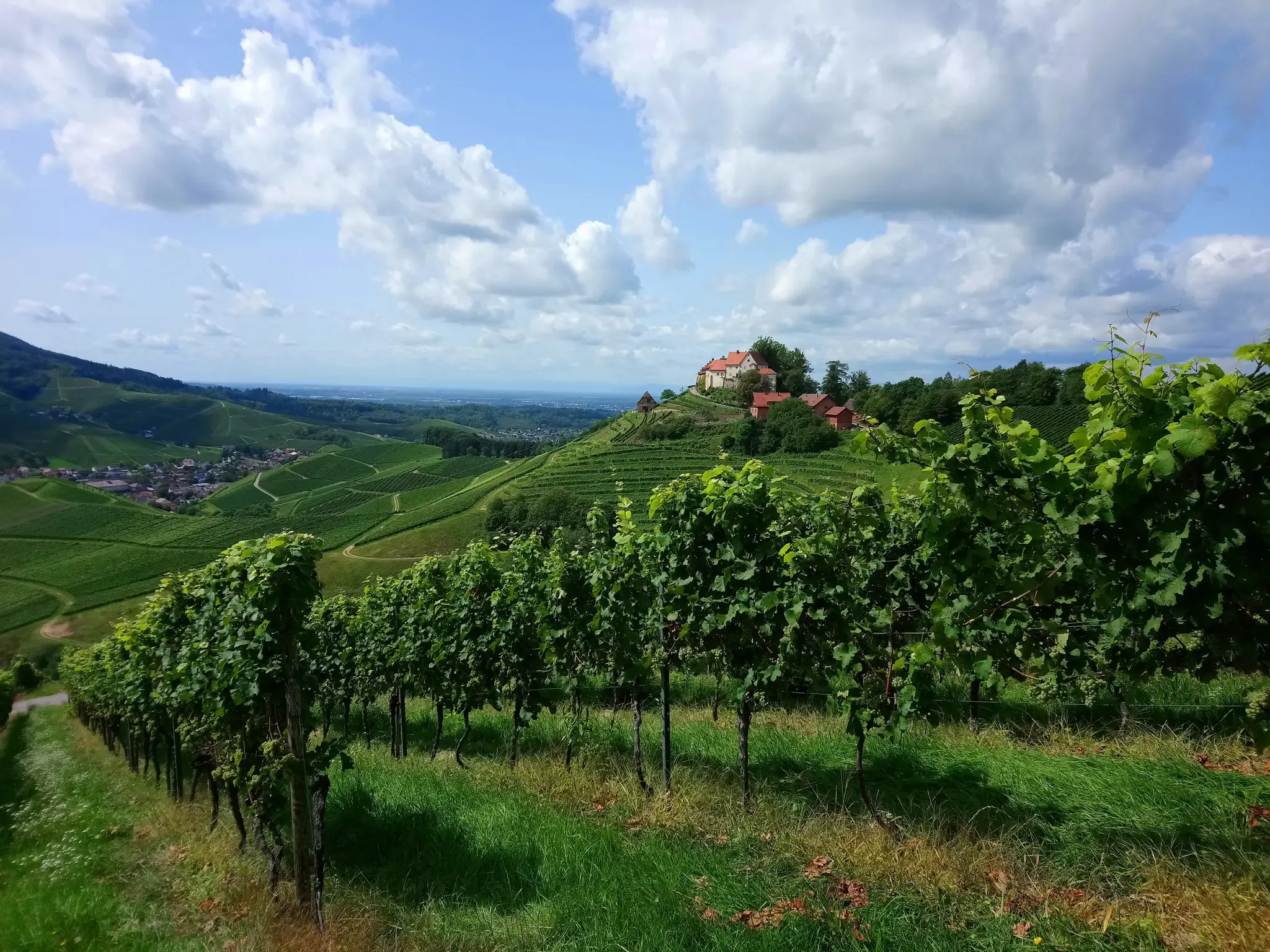
빨간 와인과 흰 와인을 한잔 주세요 – 오르테나우 와인 길
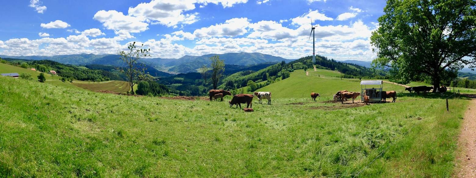
서쪽보다 더 서쪽 – кан델호헨웨그의 5 에탱
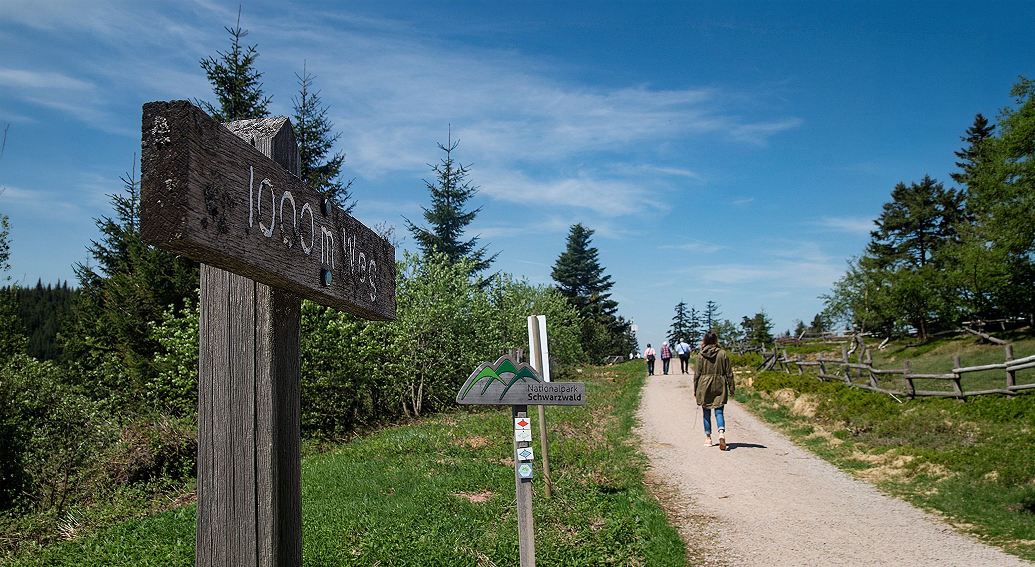
Barrier-free hikes in the Black Forest National Park
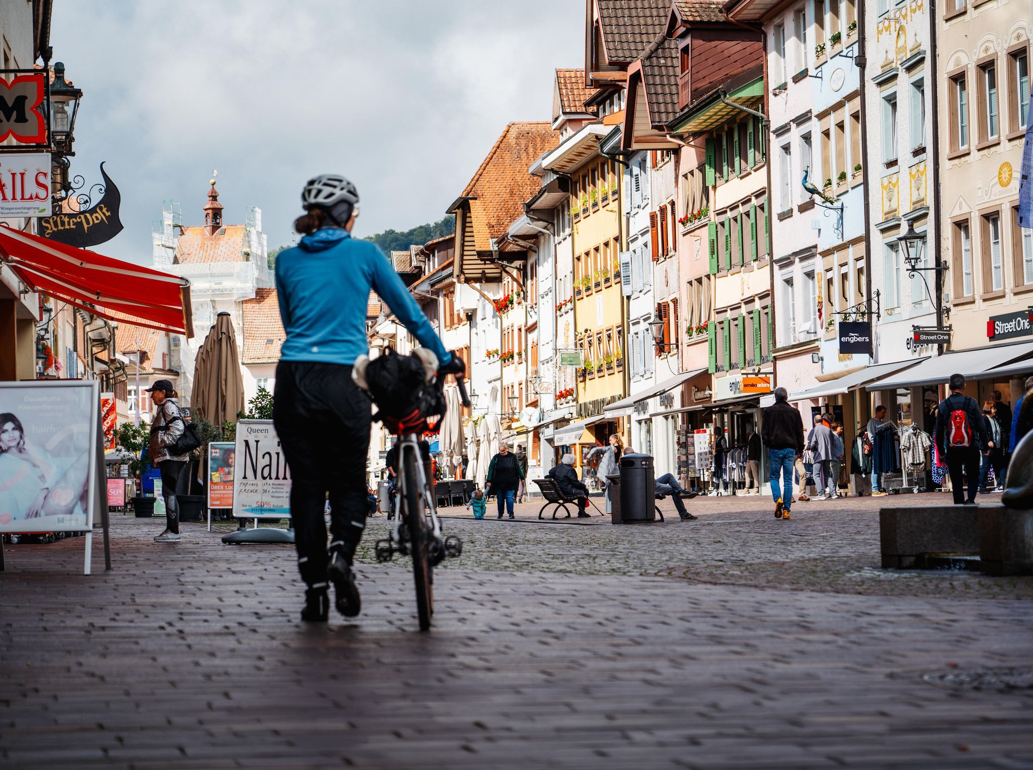
Adventure on two wheels – overnight cycling trips in Baden-Württemberg
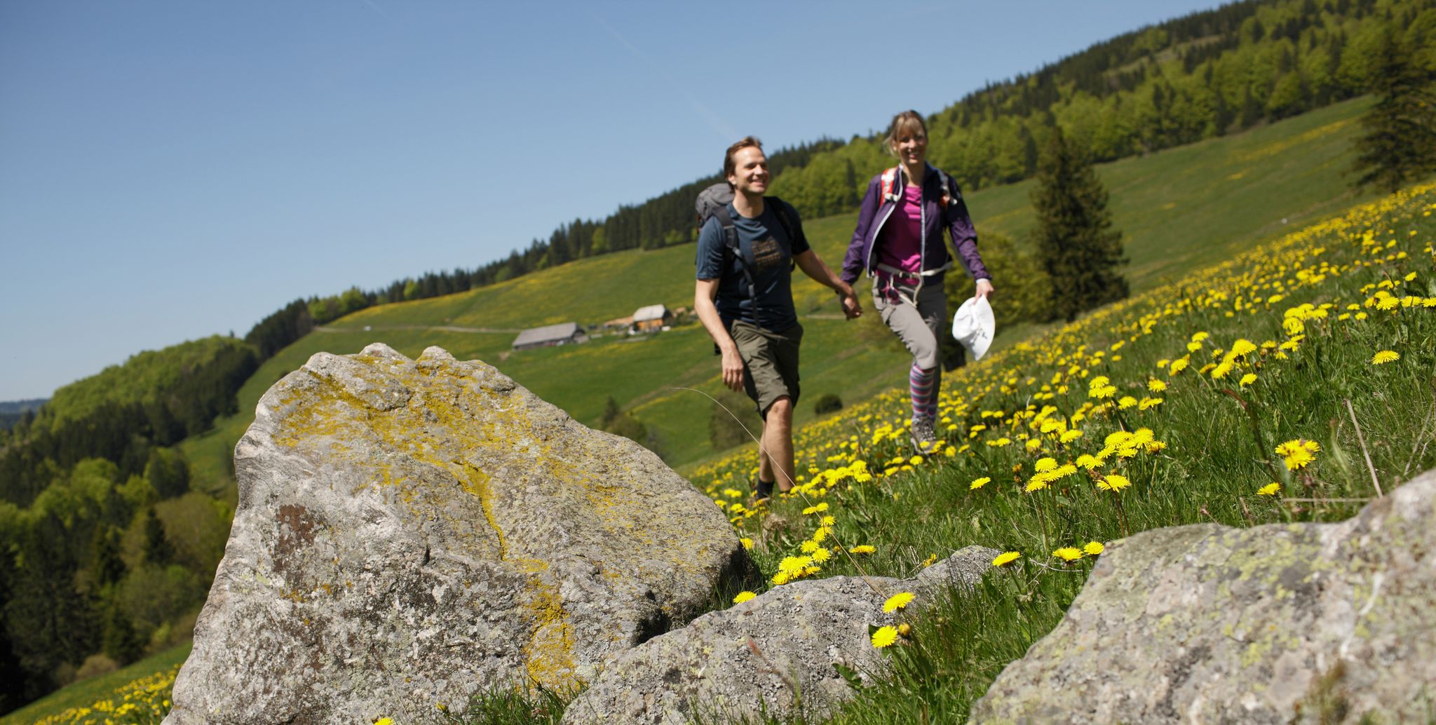
Spring in Germany’s Southwest – where hiking is best!

Discover premium and quality long-distance hiking in southern Germany
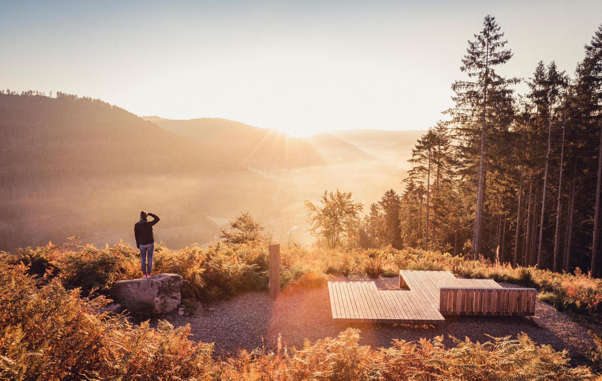
Autumn magic in the southwest – vibrant hiking in Baden-Württemberg
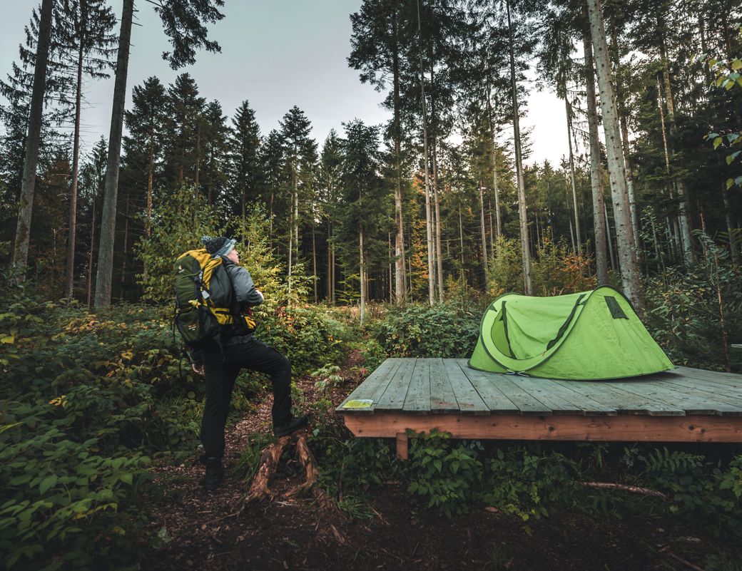
Special overnight stays and trekking camps in the Black Forest
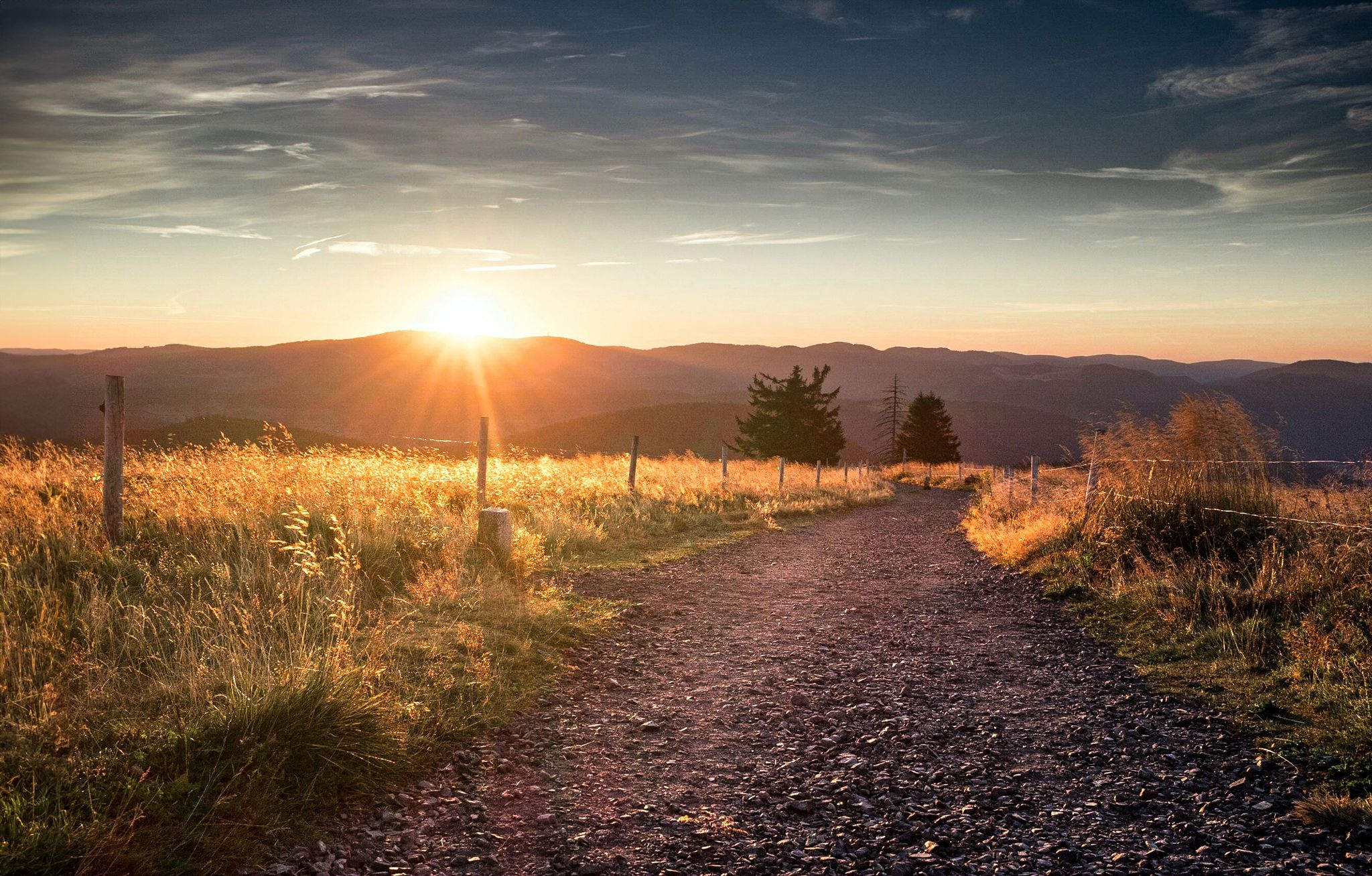
Autumn views on Genießerpfade and quality Tours in the Black Forest
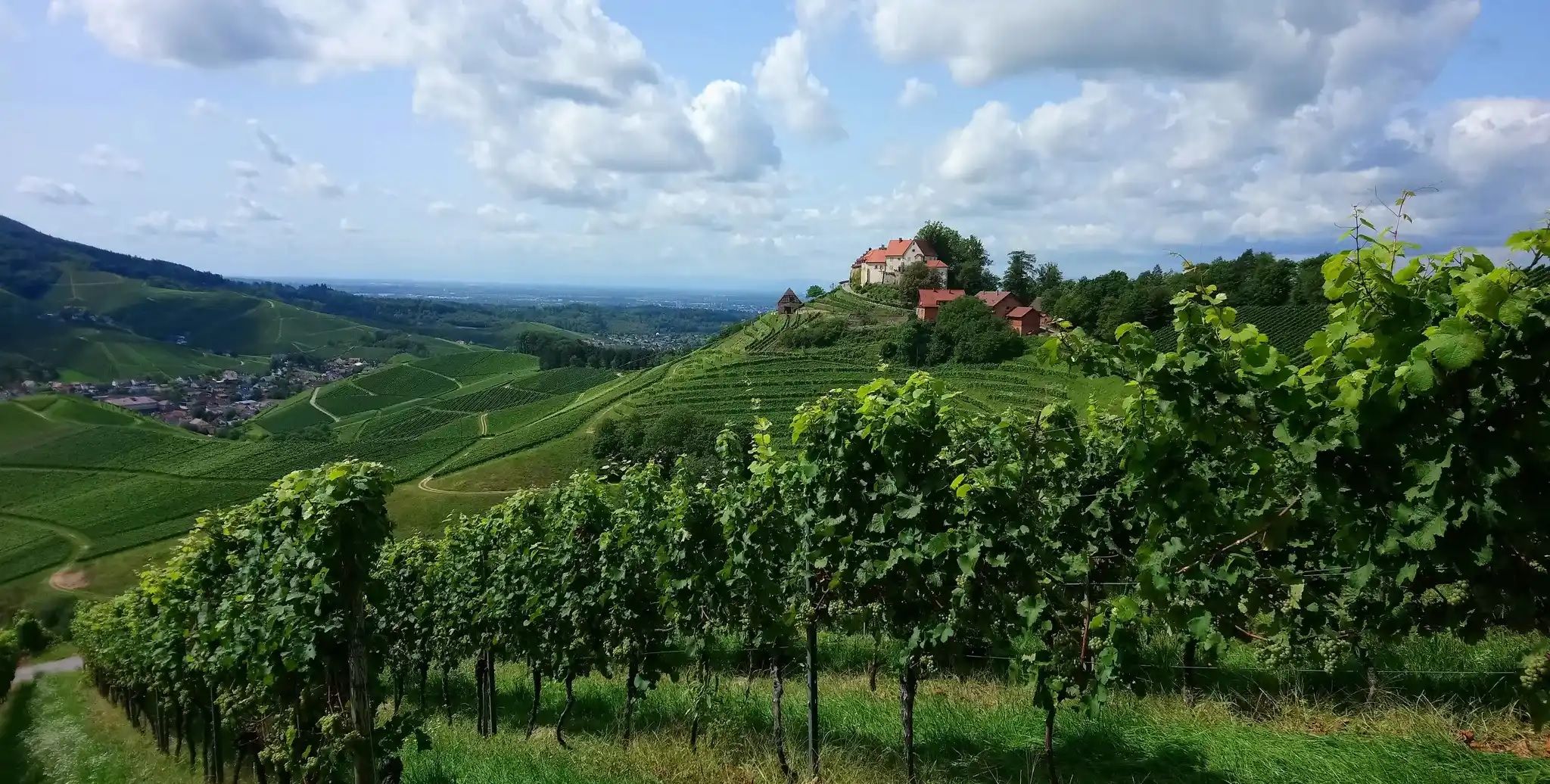
한 번 렌흐탈을 돌아가는 렌흐탈슈타이그


커뮤니티 팁

오버키르 야외 수영장은 렌히탈에 위치한 현대적이고 온수 시설을 갖춘 야외 수영장입니다. 이곳은 스포츠 수영을 즐기는 사람들과 어린이를 동반한 가족 모두에게 이상적인 넓은 시설을 제공합니다. 시설 및 하이라이트 • 수영장: 대형 50미터 수영장과 별도의 비수영장. • 슬라이드 및 즐길 거리: 눈에 띄는 60미터 길이의 대형 슬라이드와 대형 워터 버섯. • 다이빙 시설: 1미터, 3미터, 5미터 높이의 다이빙 보드가 있는 별도의 깊은 다이빙 구역. • 어린이 구역: 작은 슬라이드, 물놀이 시설, 모래 놀이터가 포함된 인접 놀이터가 있는 별도의 유아용 수영장. • 부지: 나무 그늘이 있는 넓은 잔디밭, 탈의실, 온수 샤워 시설, 간식 및 음료를 위한 키오스크 또는 간이 식당.
0
0
Sausteg은 예전에 Oberkirch의 Hesselbach와 Ödsbach 지역 주민들에게 Oberkirch로 가는 중요한 연결로였습니다. 그 이름은 인근 Oberkirch 시의 돼지 방목지에서 유래했습니다.
0
0
Sausteg는 이전에는 Oberkirch의 Hesselbach 및 Ödsbach 지역 주민들에게 Oberkirch로 가는 중요한 연결로였습니다. 이 이름은 Oberkirch 시에 인접한 Sauweide(돼지 방목지)에서 유래했습니다.
1
0
렌히는 길이가 57km입니다. 렌히는 915m 높이의 추플루흐트 근처에서 발원합니다. 헬름링겐에서 렌히는 라인강으로 흘러 들어갑니다.
0
0

The fish ladder at the Müllener weir in Oberkirch is a key component of the ecological restoration of the Rench River. It was constructed as part of a comprehensive project to restore ecological connectivity. Here are the most important details: Purpose & Goal: The structure allows migratory fish such as salmon and other salmonid species to reach their spawning and nursery habitats within the Rench River system. Historical Context: Between October 2007 and August 2008, approximately 200 weirs and 5 drops, including the Müllener weir, were modified to allow fish passage along a 9 km stretch of the river in the Oberkirch and Lautenbach area. Functionality: The modifications to the previously insurmountable obstacle have enabled fish to overcome the difference in elevation with less effort. Additional measures: Nearby (below the Sausteg footbridge and at the mouth of the Mühlbach stream), additional cold water pools were created as refuges for fish during summer heat.
1
0
The Rench is 57 km long. It rises near Zuflucht at an altitude of 915 m. The Rench flows into the Rhine near Helmlingen.
3
0
The Rench is 57 km long. It rises near Zuflucht at an altitude of 915 m. The Rench flows into the Rhine near Helmlingen.
2
0
The Rench is 57 km long. It rises near the refuge at an altitude of 915 m. Near Helmlingen, the Rench flows into the Rhine.
0
0


더 살펴보기
다른 지역의 최고의 러닝 트레일 & 경로를 살펴보세요.
